The best walks and hikes around Vaudeurs
4.1
(9)
41
hikers
20
hikes
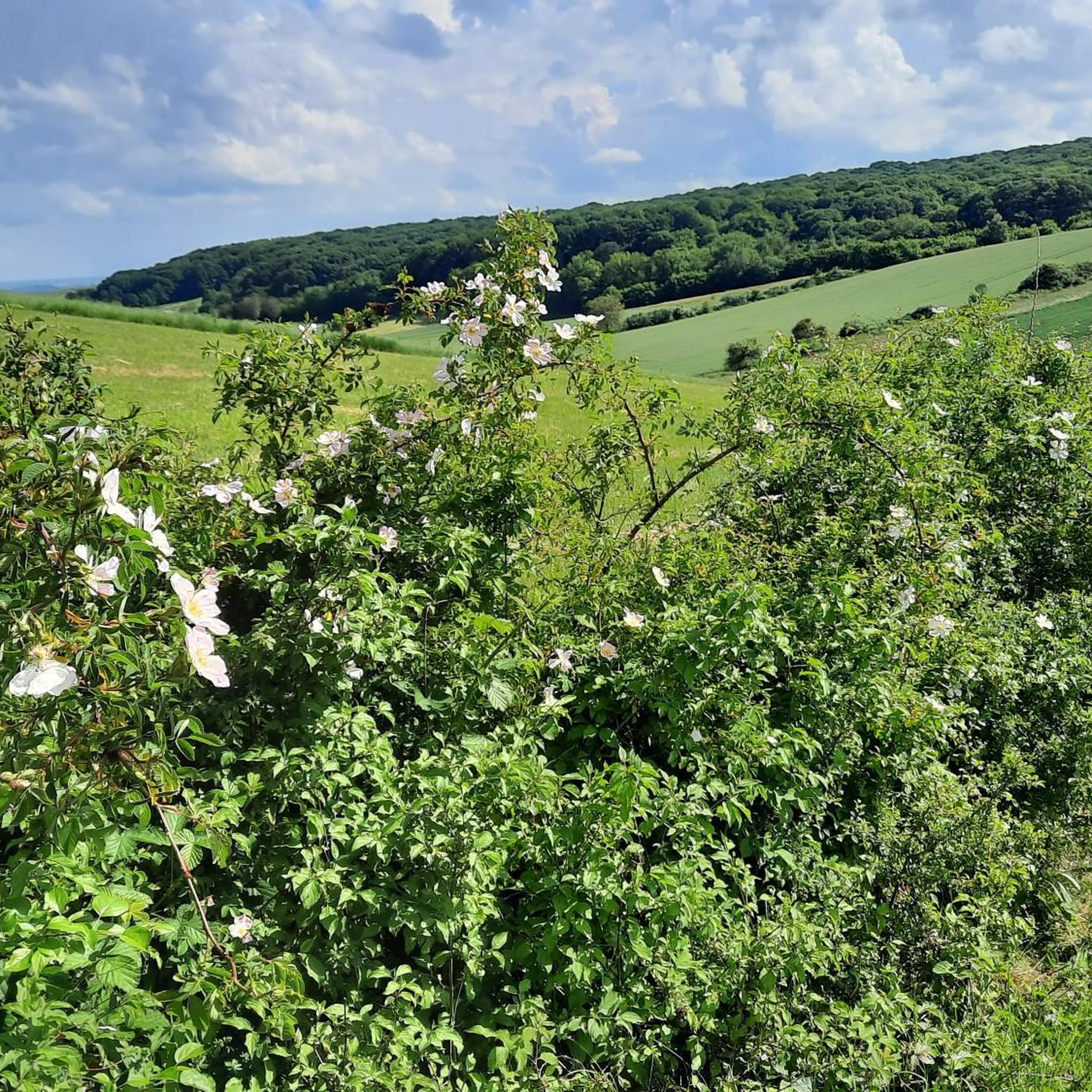
Hiking around Vaudeurs offers exploration within the natural region of Pays d'Othe, characterized by wooded hills. This area, part of the Paris Basin, features a chalky block with forests covering more than half of its territory. The landscape provides numerous opportunities for shaded trails and immersion in nature, bordered by the Vanne river.
Best hiking trails around Vaudeurs
- The most popular hiking route is The forest of Champ-Fêtu and the castle of la Houssaye — loop from Noé, a…
Last updated: June 29, 2026
3.5
(4)
9
hikers
10.3km
02:48
160m
160m
Moderate hike. Good fitness required. Mostly accessible paths. Sure-footedness required.
4.0
(1)
1
hikers
15.8km
04:16
210m
210m
Hike the Aqueduc de la Vanne loop from Chigy, a moderate 9.8-mile trail exploring a 19th-century aqueduct and peaceful green spaces.

Sign up for free
8
hikers
8.53km
02:24
180m
180m
Moderate hike. Good fitness required. Easily-accessible paths. Suitable for all skill levels.
5.0
(3)
3
hikers
9.79km
02:39
140m
140m
Moderate hike. Good fitness required. Easily-accessible paths. Suitable for all skill levels.
5
hikers
6.93km
01:55
120m
120m
Easy hike. Great for any fitness level. Easily-accessible paths. Suitable for all skill levels.
Get access to more routes and recommendations from other explorers.
Sign up for free
Already have an account?
Our route recommendations are based on thousands of hikes, rides, and runs completed by other people on komoot.
Start today with a free account
Your next adventure awaits.
Login or Signup


Tips from the Community

This small isolated section of aqueduct is part of the Vanne aqueduct. This aqueduct brought drinking water to Paris from the sources of Burgundy.
1
0
Buried in the forest, this castle is hidden and surrounded by trees. It's a real treat to look for this place and not be able to spot it from afar - little adventure.
2
0
In the middle of the forest, you will find at this intersection a menhir 1.3 meters high with this plan.
2
0

This pierced stone is in fact a megalith in cliquart sandstone (variety of hard sandstone) with a height of around 1.40 m in square shape and which, according to recent archaeological expertise, dates from the Iron Age (around 700 years BC) . It is located at the crossroads of two very pleasant roads that cross the forest.
0
0

A small aqueduct in a pretty valley.
0
0
Frequently Asked Questions
How many hiking trails are available around Vaudeurs?
There are nearly 20 hiking routes around Vaudeurs, offering a variety of experiences. Most of these are moderate in difficulty, with a few easier options available for a more relaxed outing.
What kind of terrain can I expect on hikes in Vaudeurs?
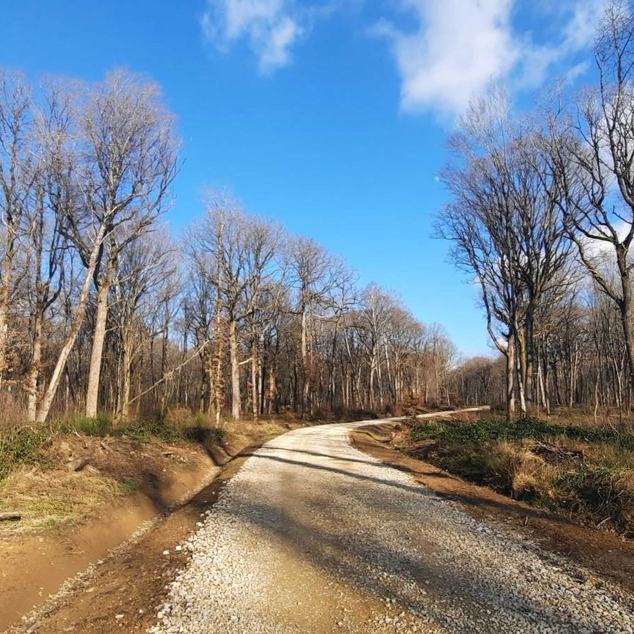
Hikes in Vaudeurs primarily traverse the natural region of Pays d'Othe, characterized by extensive wooded hills. You can expect shaded trails through forests, with some routes following the Vanne river, offering a mix of natural beauty and tranquil green spaces.
Are there any easy hiking routes suitable for beginners in Vaudeurs?
Yes, there are a few easy routes available. For example, the Church loop from Chailley is an easy 6.9 km (4.3 miles) trail that takes approximately 1 hour 55 minutes to complete, offering a gentle introduction to the area's landscapes.
What interesting landmarks or historical sites can I discover while hiking near Vaudeurs?
The area around Vaudeurs is rich in history. You can encounter several notable sites, such as the hidden La Houssaye Castle, the 17th-century Saint-Léonard de Noblat Chapel with its traditional Burgundy tiles, or the ruins of L'Enfourchure Priory, founded in 1209. Some routes also pass by the ancient Saint-Gervais-et-Saint-Protais Church of Dixmont.
Are there any circular hiking routes in Vaudeurs?
Many of the trails around Vaudeurs are designed as loops, allowing you to start and end at the same point. For instance, the popular The forest of Champ-Fêtu and the castle of la Houssaye — loop from Noé is a moderate 10.3 km (6.4 miles) circular route that takes you through dense forest to a hidden castle.
Are the hiking trails in Vaudeurs suitable for families?
Yes, the region offers trails suitable for families, especially the easier and moderate routes. The extensive wooded areas provide natural shade, which can be pleasant for walks with children. Consider routes like the Church loop from Chailley for a less strenuous family outing.
What do other hikers enjoy most about the trails in Vaudeurs?
The trails in Vaudeurs are highly rated by the komoot community, with an average score of 4.2 stars. Hikers often praise the tranquil wooded landscapes, the opportunity to discover hidden historical sites, and the well-maintained paths that offer a peaceful escape into nature.
Are there any hikes that feature an aqueduct or river views?
Yes, the Chigy and the Three Vanne Villages Trail is a moderate 15.8 km (9.8 miles) path that allows hikers to explore a 19th-century aqueduct and enjoy tranquil green spaces along the Vanne river, offering scenic views and an interesting historical element.
What is the typical length and duration of hikes in Vaudeurs?
Hikes in Vaudeurs vary in length, with many moderate trails ranging from 8 to 16 kilometers (5 to 10 miles). These typically take between 2.5 to 4.5 hours to complete, depending on the route and your pace. Shorter, easier options are also available.
Are there any challenging hikes around Vaudeurs?
While most routes are moderate, some longer trails offer a more extended challenge. For instance, the Chigy and the Three Vanne Villages Trail, at 15.8 km (9.8 miles) with over 200 meters of elevation gain, provides a good workout for those seeking a longer day out in nature.
Is it possible to combine hiking with exploring local villages?
Absolutely. Several routes are designed to take you through Vaudeurs and its surrounding hamlets, offering a blend of natural beauty and glimpses into local life. These trails often connect wooded paths with charming village settings.
What is the best time of year to go hiking in Vaudeurs?
The wooded hills of Pays d'Othe make Vaudeurs an appealing destination for hiking throughout much of the year. Spring and autumn offer pleasant temperatures and beautiful foliage, while the abundant tree cover provides welcome shade during warmer summer months. Winter hikes are also possible, though conditions may vary.
Most popular attractions around Vaudeurs

Get inspired with the komoot mobile app


Explore more
Browse the best Hikes in other regions.
