The best walks and hikes around Campremy
4.8
(15)
42
hikers
12
hikes
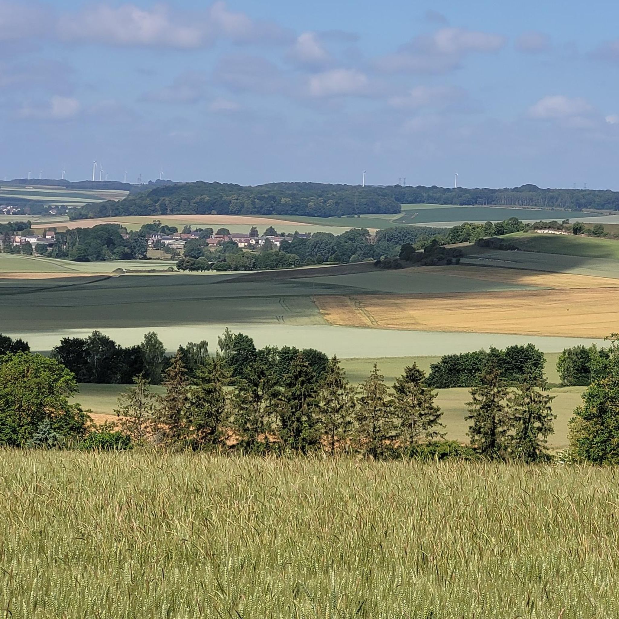
Hiking around Campremy offers routes through the gentle, rolling terrain of the Oise department in northern France. The region is characterized by modest elevations, ranging from 118 to 175 meters, and primarily consists of agricultural landscapes interspersed with small woodlands. While not known for extensive natural features, the area provides accessible paths for local exploration.
Best hiking trails around Campremy
- The most popular hiking route is Plan d'eau loop from Breteuil, a 6.4 miles (10.3 km) trail that takes…
Last updated: June 28, 2026
4.4
(8)
13
hikers
10.3km
02:40
60m
60m
Moderate hike. Good fitness required. Easily-accessible paths. Suitable for all skill levels.
5.0
(2)
9
hikers
12.9km
03:28
150m
150m
Moderate hike. Good fitness required. Easily-accessible paths. Suitable for all skill levels.

Sign up for free
3
hikers
11.9km
03:08
100m
100m
Moderate hike. Good fitness required. Easily-accessible paths. Suitable for all skill levels.
3
hikers
9.90km
02:35
70m
70m
Moderate hike. Good fitness required. Easily-accessible paths. Suitable for all skill levels.
5.0
(4)
3
hikers
7.94km
02:06
80m
80m
Moderate hike. Good fitness required. Easily-accessible paths. Suitable for all skill levels.
Get access to more routes and recommendations from other explorers.
Sign up for free
Already have an account?
Our route recommendations are based on thousands of hikes, rides, and runs completed by other people on komoot.
Start today with a free account
Your next adventure awaits.
Login or Signup


Tips from the Community

Located 2.5 kilometers south of Breteuil-sur-Noye, the ancient site of Vendeuil-Caply covers nearly 130 hectares and includes parts of the neighboring communes. Its most remarkable monument is the large Gallo-Roman theater from the 1st and 2nd centuries, now owned by the Oise Departmental Council. Nearby is the Oise Archaeological Museum, inaugurated in 2011.
0
0
Frequently Asked Questions
How many hiking trails are available around Campremy?
There are over 10 hiking routes available around Campremy, offering various options for exploring the local area. Most of these routes are considered moderate in difficulty.
What kind of terrain can I expect when hiking near Campremy?
Hiking around Campremy primarily involves gentle, rolling terrain. You'll encounter agricultural landscapes interspersed with small woodlands. The elevations are modest, generally ranging between 118 and 175 meters, making for accessible paths rather than strenuous climbs.
Are there any challenging hikes in the Campremy area?
The Campremy area is characterized by gentle terrain and modest elevations. While there are no routes classified as 'difficult,' many of the trails are moderate, offering longer distances that can provide a good workout. For example, the Gallo-Roman theater loop from Vendeuil-Caply is an 8-mile (12.9 km) path that explores the local landscape.
Are there easy hiking trails suitable for beginners or casual walkers?
Yes, there are several easy hiking trails around Campremy. These routes are perfect for beginners or those looking for a more relaxed walk through the countryside. You can find options that are shorter in distance and have minimal elevation changes.
What is the best time of year to go hiking in Campremy?
Given the agricultural and woodland nature of the area, spring and autumn are generally ideal for hiking in Campremy. The weather is typically mild, and the landscapes offer pleasant scenery. Summer can also be enjoyable, though it's advisable to hike in the mornings or evenings to avoid the warmest parts of the day.
Are there any circular hiking routes near Campremy?
Many of the hiking routes around Campremy are designed as loops, allowing you to start and end at the same point. A popular option is the Plan d'eau loop from Breteuil, which is a 6.4-mile (10.3 km) trail featuring gentle elevation changes around a body of water.
Are the hiking trails around Campremy suitable for families with children?
Yes, the gentle terrain and moderate distances of many trails make them suitable for families. The lack of extreme elevation changes means children can often manage these walks comfortably. Look for the easier-rated routes for younger children.
Are dogs allowed on the hiking trails in Campremy?
Generally, dogs are welcome on hiking trails in rural areas like Campremy, especially if kept on a leash. However, always be mindful of agricultural land and livestock, and ensure you clean up after your pet. It's always a good idea to check local signage for any specific restrictions.
Is parking available at the trailheads around Campremy?
While specific parking information for every trailhead isn't always available, in rural communes like Campremy and surrounding villages, you can often find roadside parking or small public parking areas near the start of popular routes or in village centers. It's advisable to plan your starting point accordingly.
Can I reach hiking trails near Campremy using public transport?
Public transport options directly to specific trailheads in a small commune like Campremy may be limited. It's more likely that you would need to rely on a combination of regional buses to nearby towns and then walk or arrange for local transport to reach the starting points of trails. Checking local bus schedules for the Oise department would be recommended.
What do other hikers enjoy the most about hiking in Campremy?
The hiking experience around Campremy is highly rated by the komoot community, with an average score of 4.8 stars from over 13 reviews. Hikers often appreciate the quiet, accessible paths through the gentle countryside, offering a peaceful escape and a chance to explore the rural charm of the Oise department.
Are there any notable landmarks or viewpoints along the hiking trails?
Campremy is not known for dramatic natural features or extensive viewpoints. However, some routes, like the Gallo-Roman theater loop from Vendeuil-Caply, incorporate historical points of interest. The charm of hiking here lies in the peaceful agricultural landscapes and small woodlands rather than grand vistas.

Get inspired with the komoot mobile app


Explore more
Browse the best Hikes in other regions.
