The best walks and hikes around Bonneuil-Les-Eaux
4.7
(42)
175
hikers
31
hikes
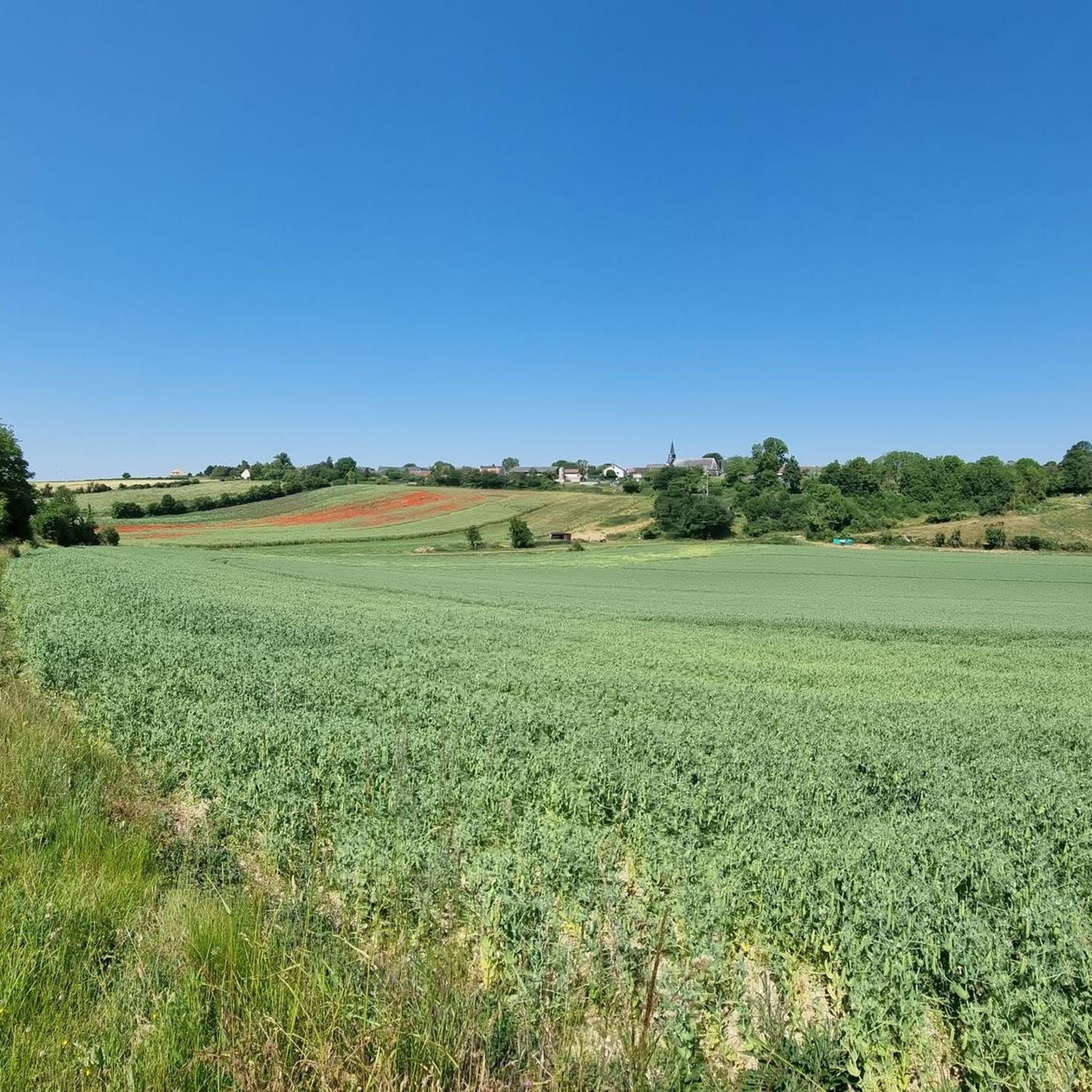
Hiking around Bonneuil-les-Eaux, located in the Oise department, offers access to tranquil agricultural landscapes and diverse natural features. The region is characterized by extensive open fields, interspersed with woodlands and groves, providing varied scenery for outdoor activities. Trails often traverse peaceful rural territories, including sections of the Vallée de la Noye.
Best hiking trails around Bonneuil-les-Eaux
- The most popular hiking route is Abandoned Railway Bridge loop from Tilloy-lès-Conty, a 5.9 miles (9.6 km) trail that takes 2 hours 25…
Last updated: June 28, 2026
5.0
(6)
18
hikers
9.61km
02:26
20m
20m
Moderate hike. Good fitness required. Easily-accessible paths. Suitable for all skill levels.
5.0
(2)
11
hikers
15.3km
04:02
130m
130m
Moderate hike. Good fitness required. Easily-accessible paths. Suitable for all skill levels.

Sign up for free
4.4
(8)
13
hikers
10.3km
02:40
60m
60m
Moderate hike. Good fitness required. Easily-accessible paths. Suitable for all skill levels.
4.5
(2)
10
hikers
21.0km
05:33
190m
190m
Hard hike. Very good fitness required. Easily-accessible paths. Suitable for all skill levels.
5.0
(2)
9
hikers
12.9km
03:28
150m
150m
Moderate hike. Good fitness required. Easily-accessible paths. Suitable for all skill levels.
Get access to more routes and recommendations from other explorers.
Sign up for free
Already have an account?
Our route recommendations are based on thousands of hikes, rides, and runs completed by other people on komoot.
Start today with a free account
Your next adventure awaits.
Login or Signup



Tips from the Community

Located 2.5 kilometers south of Breteuil-sur-Noye, the ancient site of Vendeuil-Caply covers nearly 130 hectares and includes parts of the neighboring communes. Its most remarkable monument is the large Gallo-Roman theater from the 1st and 2nd centuries, now owned by the Oise Departmental Council. Nearby is the Oise Archaeological Museum, inaugurated in 2011.
0
0

For the technicians, in the middle of nature around large fish bees
0
0
Frequently Asked Questions
How many hiking trails are available around Bonneuil-les-Eaux?
There are over 30 hiking routes around Bonneuil-les-Eaux listed on komoot, offering a variety of experiences for different skill levels. This includes 10 easy routes, 19 moderate routes, and 2 more challenging options.
What kind of scenery can I expect on hikes in Bonneuil-les-Eaux?
Hikes in Bonneuil-les-Eaux primarily feature tranquil agricultural landscapes, extensive open fields, and charming woodlands or 'bosquets'. Many routes also traverse the picturesque Vallée de la Noye, offering varied natural scenery and a sense of serenity.
Are there any circular walks in the Bonneuil-les-Eaux area?
Yes, many of the trails around Bonneuil-les-Eaux are designed as circular routes, allowing you to start and end at the same point. For example, the Abandoned Railway Bridge loop from Tilloy-lès-Conty and the Plan d'eau loop from Breteuil are popular circular options.
What is the best time of year to go hiking in Bonneuil-les-Eaux?
The area around Bonneuil-les-Eaux is enjoyable for hiking throughout much of the year. Spring and autumn offer pleasant temperatures and beautiful colors across the agricultural fields and woodlands. Summer is also suitable, with shaded paths in the 'bosquets' providing relief from the sun. Winter hiking is possible, though conditions may vary.
Are there any family-friendly hiking options in Bonneuil-les-Eaux?
Yes, Bonneuil-les-Eaux offers several easy routes suitable for families. These trails often feature gentle terrain through open fields and groves, providing a relaxed outdoor experience. Look for routes categorized as 'easy' on komoot for the most family-friendly options.
Can I bring my dog on the hiking trails?
Generally, the rural and agricultural trails around Bonneuil-les-Eaux are dog-friendly. It's always recommended to keep your dog on a leash, especially when passing through agricultural lands or near livestock, and to clean up after them. There are no specific restrictions mentioned for most public paths in this region.
What historical or cultural points of interest can I see while hiking?
While hiking, you might encounter local heritage such as the Saint Pierre Church in Bonneuil-les-Eaux, with its ancient tower from 1570, or a 12th-century motte castrale. Further afield, a detour could lead to the Château de Tartigny. You can also explore highlights like Essertaux Castle or the Former Coulée Verte railroad line.
What do other hikers say about the trails in Bonneuil-les-Eaux?
The hiking routes in Bonneuil-les-Eaux are highly rated by the komoot community, with an average score of 4.7 stars from over 30 reviews. Hikers often praise the peaceful agricultural territories, the varied scenery including woodlands and the Vallée de la Noye, and the well-maintained paths.
Are there any natural attractions or viewpoints along the trails?
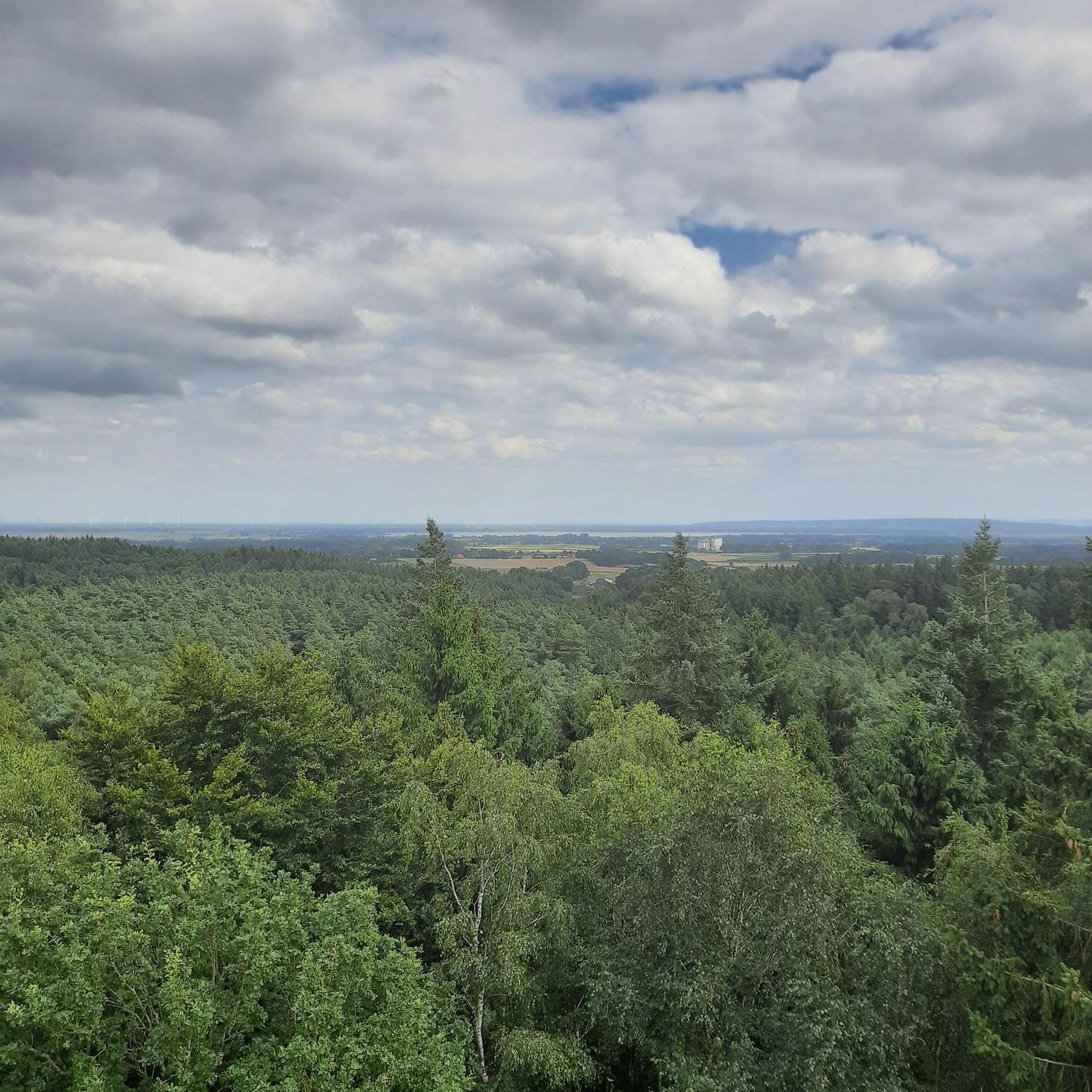
The region's open fields provide wide-open vistas and a sense of serenity. You can also find natural points of interest such as the Mont de Velennes, the scenic Vallée de la Selle, and the tranquil Berny Pond, which offer picturesque spots for breaks and views.
How long do hikes near Bonneuil-les-Eaux typically take?
Hikes in the area vary in length and duration. For example, the Abandoned Railway Bridge loop from Tilloy-lès-Conty is about 9.6 km and takes around 2 hours 25 minutes. Longer routes, like the Abandoned Railway Bridge – Saint-Vaast Church loop from Conty (15.3 km), can take closer to 4 hours.
Is parking available at the trailheads?
While specific parking areas are not detailed for every trailhead, as a rural area, you can generally find parking in or near the villages that serve as starting points for these hikes. It's advisable to check local signage or maps for designated parking spots when planning your route.
Are there any particularly challenging hikes in the area?
While many routes are easy to moderate, there are a few more challenging options for experienced hikers. For instance, the Abandoned Railway Bridge loop from Conty is classified as difficult, covering over 21 km with more significant elevation changes compared to other local trails.
Most popular routes around Bonneuil-Les-Eaux
Most popular attractions around Bonneuil-Les-Eaux

Get inspired with the komoot mobile app


Explore more
Browse the best Hikes in other regions.
