The best mountain hikes around Schirmeck
5.0
(2)
14
hikers
2
hikes
Mountaineering routes around Schirmeck are nestled in the Bruche Valley within the Vosges massif, offering a diverse landscape for outdoor enthusiasts. The region is characterized by dense forests, rolling hills, and significant peaks such as the Champ du Feu and the Donon Massif. These features provide a rugged backdrop for various mountaineering adventures, with elevations reaching over 1,000 meters.
Best mountaineering routes around Schirmeck
- The most popular mountaineering route is Emperor's Steps – Donon Temple loop from Grandfontaine, a…
Last updated: June 28, 2026
5.0
(2)
10
hikers
5.82km
01:53
260m
260m
Easy mountaineering route. Great for any fitness level. Easily-accessible paths. Suitable for all skill levels.
3
hikers
12.5km
03:58
510m
510m
Moderate mountaineering route. Good fitness required. Easily-accessible paths. Suitable for all skill levels.

Sign up for free
1
hikers
Moderate mountaineering route. Good fitness required. Mostly accessible paths. Sure-footedness required.
Our route recommendations are based on thousands of hikes, rides, and runs completed by other people on komoot.
Start today with a free account
Your next adventure awaits.
Login or Signup
Popular around Schirmeck




Tips from the Community

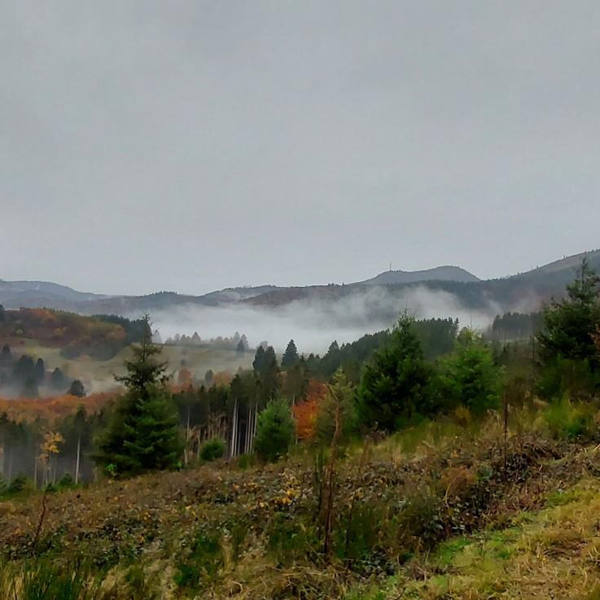
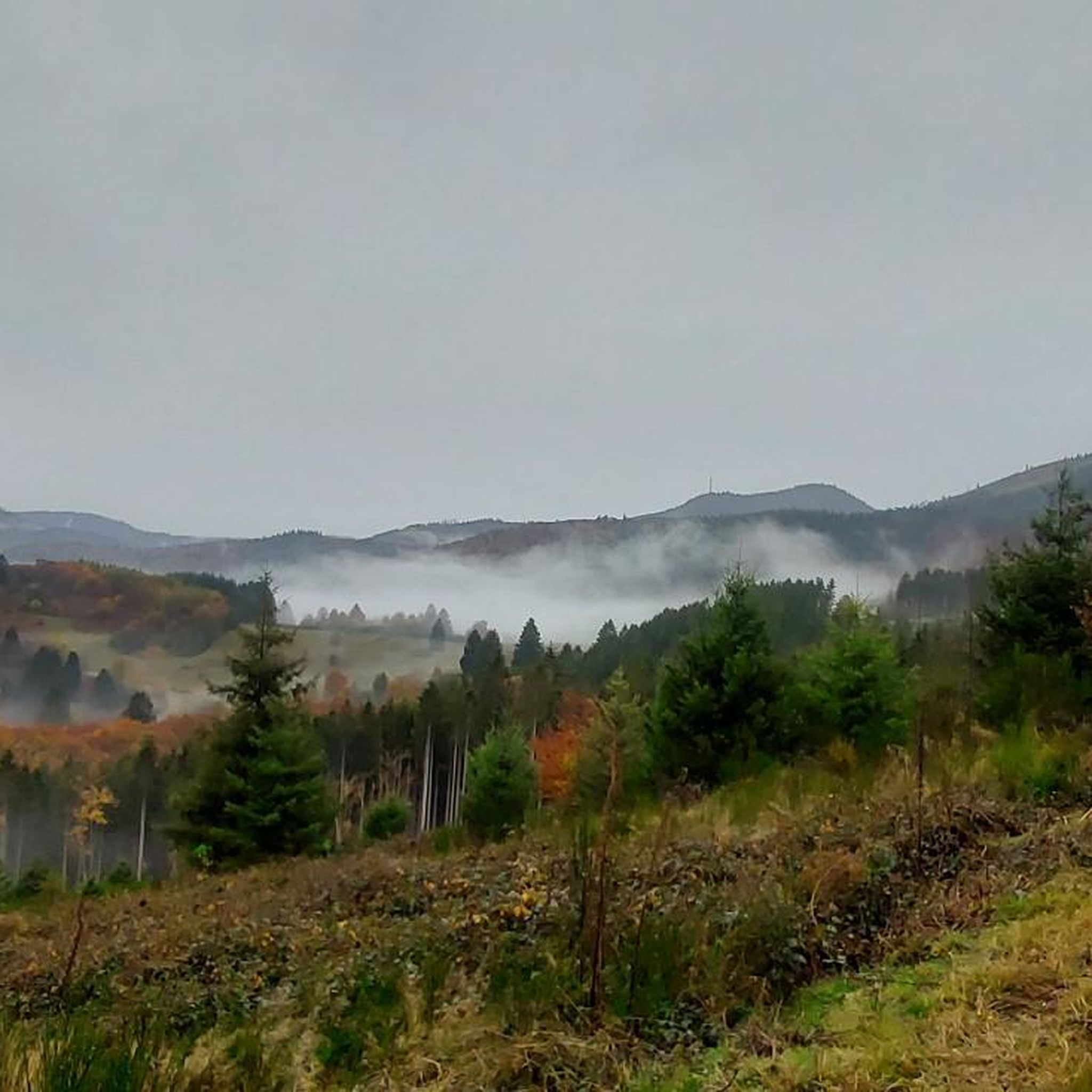
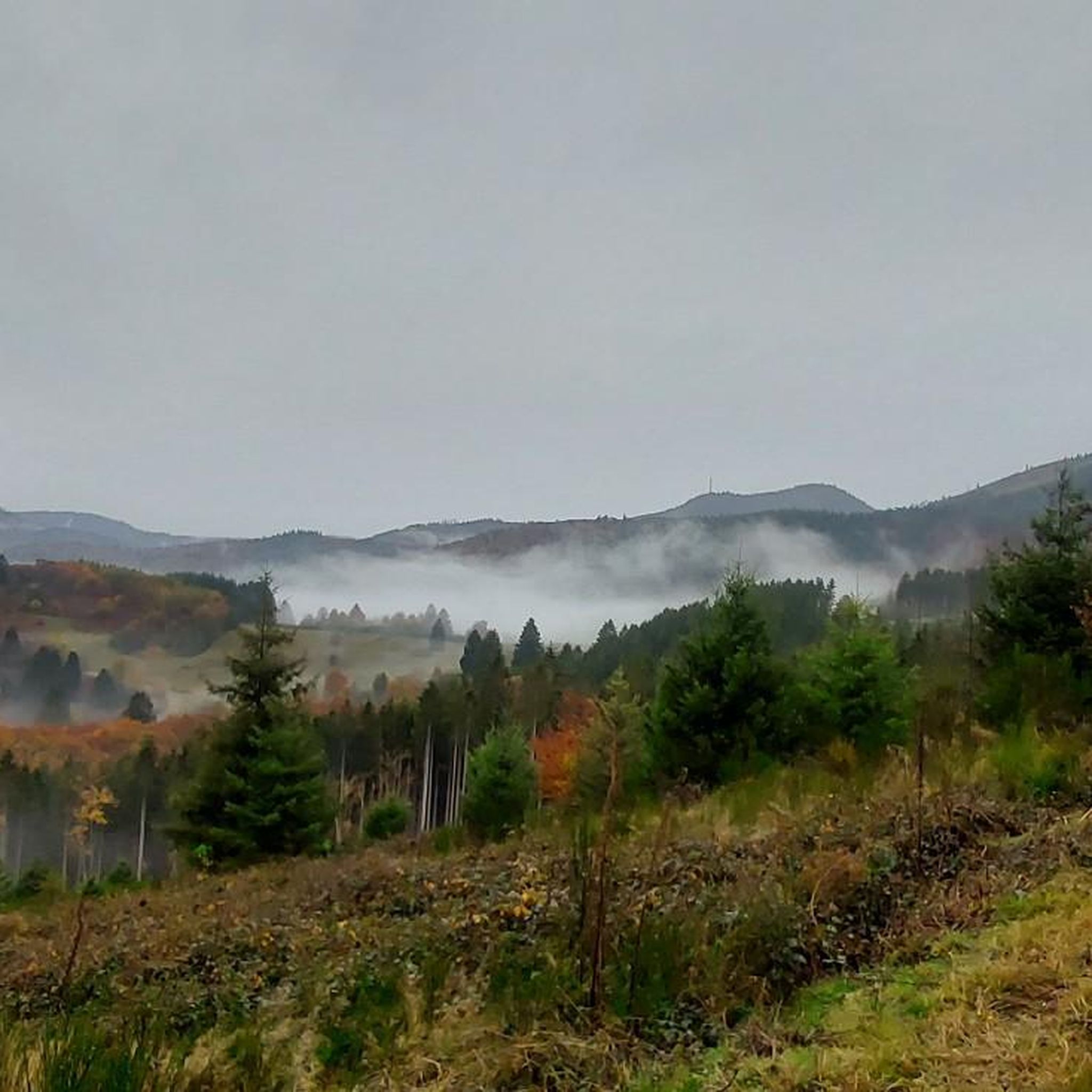
Champ du Feu, at 1099 meters, is the highest mountain in the Bas-Rhin department of the Vosges in Alsace. It is located between the villages of Belmont and Le Hohwald and consists of an extensive high plateau with forests, meadows, and moorlands. The area is a popular nature and recreational area. In summer, it is mainly used for hiking, mountain biking, and nature observation. In winter, there is a small ski resort with cross-country trails and simple slopes for winter sports. The stream La Serva originates from Champ du Feu and later forms the Cascade de la Serva. In clear weather, the summit offers wide views over the Vosges, the Rhine plain, and as far as the Black Forest. The area is particularly known for its tranquil nature, high moors, sunrises and starry skies, as well as well-marked hiking trails.
0
0
Champ du Feu, at 1099 meters, is the highest mountain in the Bas-Rhin department of the Vosges in Alsace. It lies between the towns of Belmont and Le Hohwald and consists of an extensive high plateau with forests, meadows, and moorlands. The area is a popular nature and recreational area. In summer, it is mainly used for hiking, mountain biking, and nature observation. In winter, there is a small ski area with cross-country trails and simple slopes for winter sports. The brook La Serva originates from Champ du Feu, later forming the Cascade de la Serva. In clear weather, the summit offers wide views over the Vosges, the Rhine plain, and as far as the Black Forest. The area is particularly known for its tranquil nature, high moors, sunrises and starry skies, as well as well-marked hiking trails.
0
0

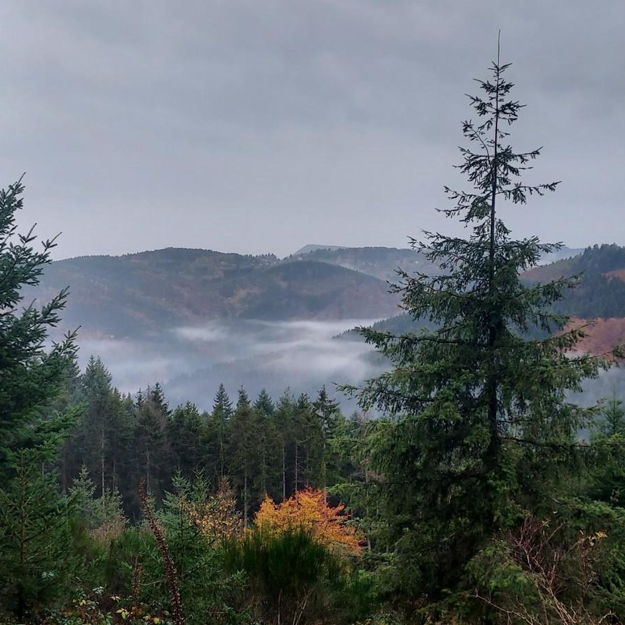
Viewpoint with wonderful views
1
0

Possible origins of the name: Celtic rituals: It is believed that solstice and sacrificial fires were lit here in Celtic times. Charcoal burners' fire: The "fire" could also refer to the fires lit by charcoal burners in the surrounding forests of the Vosges Mountains. Cattle pasture: A popular theory states that the French word "feu" is a corruption of the German word "Vieh," meaning "field of cattle," as it was a sparsely wooded plateau where cattle could graze. Text from the Internet
1
0

It is a beautiful and impressive path down, or you are almost at the top of the Col du Donon
1
1

Maybe it's just a coincidence that the flat stone is standing so crooked here 😇
3
0
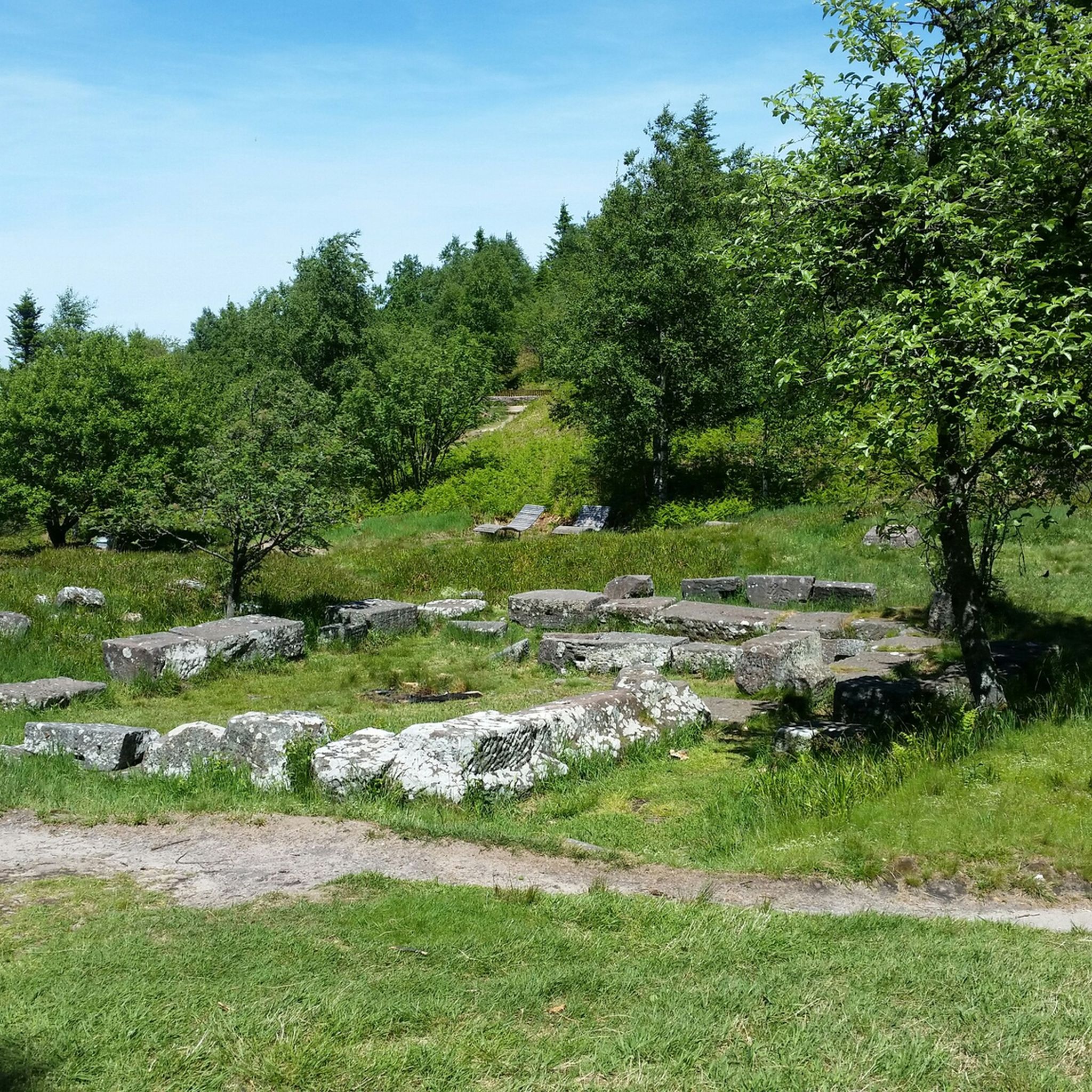
Large rock with an inscription on the ascent to the Donon. According to legend, possibly a sacrificial stone...
2
0

Frequently Asked Questions
Are there mountaineering routes suitable for beginners in Schirmeck?
Yes, Schirmeck offers routes for various ability levels. For beginners, an excellent option is the Emperor's Steps – Donon Temple loop from Grandfontaine. This easy 3.6-mile (5.8 km) trail explores the historically significant Donon Massif and can be completed in under two hours.
What kind of natural landmarks can I expect to see on mountaineering routes around Schirmeck?
The region is rich in natural beauty. You can encounter prominent features like the Champ du Feu, the highest point in the Bas-Rhin department, offering panoramic views. Other notable sights include the unique Stone Gate, a natural monument of pink sandstone, and the Champ du Feu Monoliths.
Are there any routes that offer panoramic views of the region?
Absolutely. Many routes provide stunning vistas. For example, the Forest Road Through the Vosges – The Hanging Cat loop from Plaine ascends to La Chatte Pendue, offering magnificent views of the Champ du Feu massif and surrounding valleys. The Champ du Feu itself, with its observation tower, is renowned for its extensive panoramic views.
When is the best time of year for mountaineering in Schirmeck?
The Vosges massif, where Schirmeck is located, is generally best for mountaineering from spring through autumn. During these seasons, the weather is more stable, and the trails are clear of snow, allowing for comfortable exploration of the dense forests and peaks. While winter offers opportunities for snow activities at Champ du Feu, dedicated mountaineering might be more challenging due to snow and ice.
Are the mountaineering routes around Schirmeck suitable for families?
Yes, there are options suitable for families, especially those looking for less strenuous hikes. The region offers a variety of trails, including easy forest paths. The Emperor's Steps – Donon Temple loop from Grandfontaine is an easy route that could be a good choice for families, combining natural beauty with historical interest.
Can I bring my dog on the mountaineering routes in Schirmeck?
Generally, dogs are welcome on trails in the Vosges region, provided they are kept under control, especially in nature reserves or areas with wildlife. It's always advisable to check specific local regulations or signage at trailheads for any restrictions, but many forest paths are dog-friendly.
Are there circular mountaineering routes available in Schirmeck?
Yes, several routes are designed as loops, allowing you to start and end at the same point. Examples include the easy Emperor's Steps – Donon Temple loop from Grandfontaine and the moderate Chapel – Champ du Feu Monoliths loop from Réserve biologique dirigée du Champ du Feu, which takes you through dense forests.
What do other mountaineers enjoy most about the routes in Schirmeck?
The mountaineering routes around Schirmeck are highly rated by the komoot community, with an average score of 5.0 stars. Reviewers often praise the diverse landscape, the rugged terrain of the Vosges massif, and the scenic Bruche Valley. The combination of challenging ascents and breathtaking mountain scenery is a common highlight.
Are there any historical sites or cultural attractions along the mountaineering routes?
Yes, the region blends natural beauty with historical significance. The Donon Temple, a replica of an ancient temple, crowns the summit of the Donon Massif and is part of the Emperor's Steps – Donon Temple loop. You can also find sites like the ruins of Salm Castle and the partially restored Château de Schirmeck, which offers panoramic views. For more information on the Château de Schirmeck, you can visit visit.alsace.
Are there any places to eat or drink near the mountaineering routes?
While specific cafes or pubs directly on the trails are not detailed, Schirmeck and the surrounding villages in the Bruche Valley serve as starting points for many excursions. These settlements typically offer amenities where hikers can find refreshments and meals after their adventures.
What are some of the more challenging mountaineering options in the area?
For those seeking a moderate challenge, the Forest Road Through the Vosges – The Hanging Cat loop from Plaine is a good choice. This 7.7-mile (12.5 km) path involves a significant ascent to La Chatte Pendue, providing a rewarding experience with panoramic views. The region's rugged terrain and higher peaks like the Rocher de Mutzig also offer more demanding routes.
How many mountaineering routes are available around Schirmeck?
There are several dedicated mountaineering routes around Schirmeck, with komoot featuring a selection of top trails. The area is part of the broader Vosges massif, which offers a vast network of paths for various outdoor activities, ensuring a diverse range of options for mountaineers.
Most popular attractions around Schirmeck

Get inspired with the komoot mobile app


Explore more
Browse the best Mountain Hikes & Routes in other regions.
