The best mountain hikes around Wildersbach
5.0
(2)
14
hikers
2
hikes
Mountaineering routes around Wildersbach are situated within the Bas-Rhin department of France, offering a landscape characterized by the rugged terrain of the Vosges Mountains. The region features prominent peaks such as La Chatte Pendue and the Champ du Feu massif, providing varied elevation gains. Dense forests and natural features like the Donon Temple site contribute to a diverse environment for mountain exploration.
Best mountaineering routes around Wildersbach
- The most popular mountaineering route is Emperor's Steps – Donon Temple loop from…
Last updated: June 28, 2026
5.0
(2)
10
hikers
5.82km
01:53
260m
260m
Easy mountaineering route. Great for any fitness level. Easily-accessible paths. Suitable for all skill levels.
3
hikers
12.5km
03:58
510m
510m
Moderate mountaineering route. Good fitness required. Easily-accessible paths. Suitable for all skill levels.

Sign up for free
1
hikers
Moderate mountaineering route. Good fitness required. Mostly accessible paths. Sure-footedness required.
Our route recommendations are based on thousands of hikes, rides, and runs completed by other people on komoot.
Start today with a free account
Your next adventure awaits.
Login or Signup
Tips from the Community

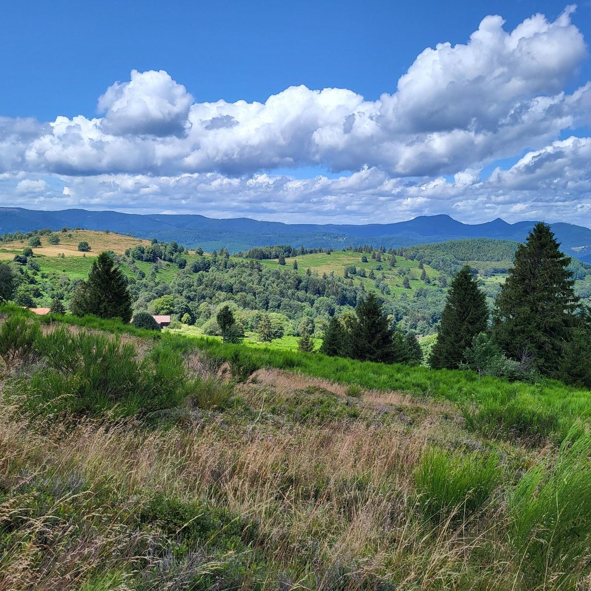
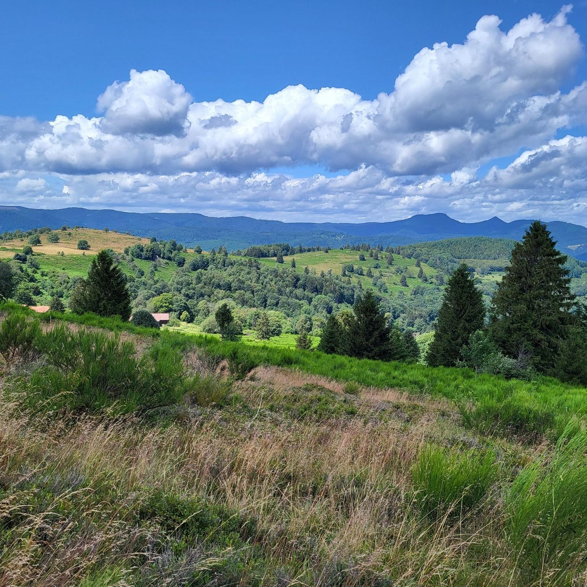
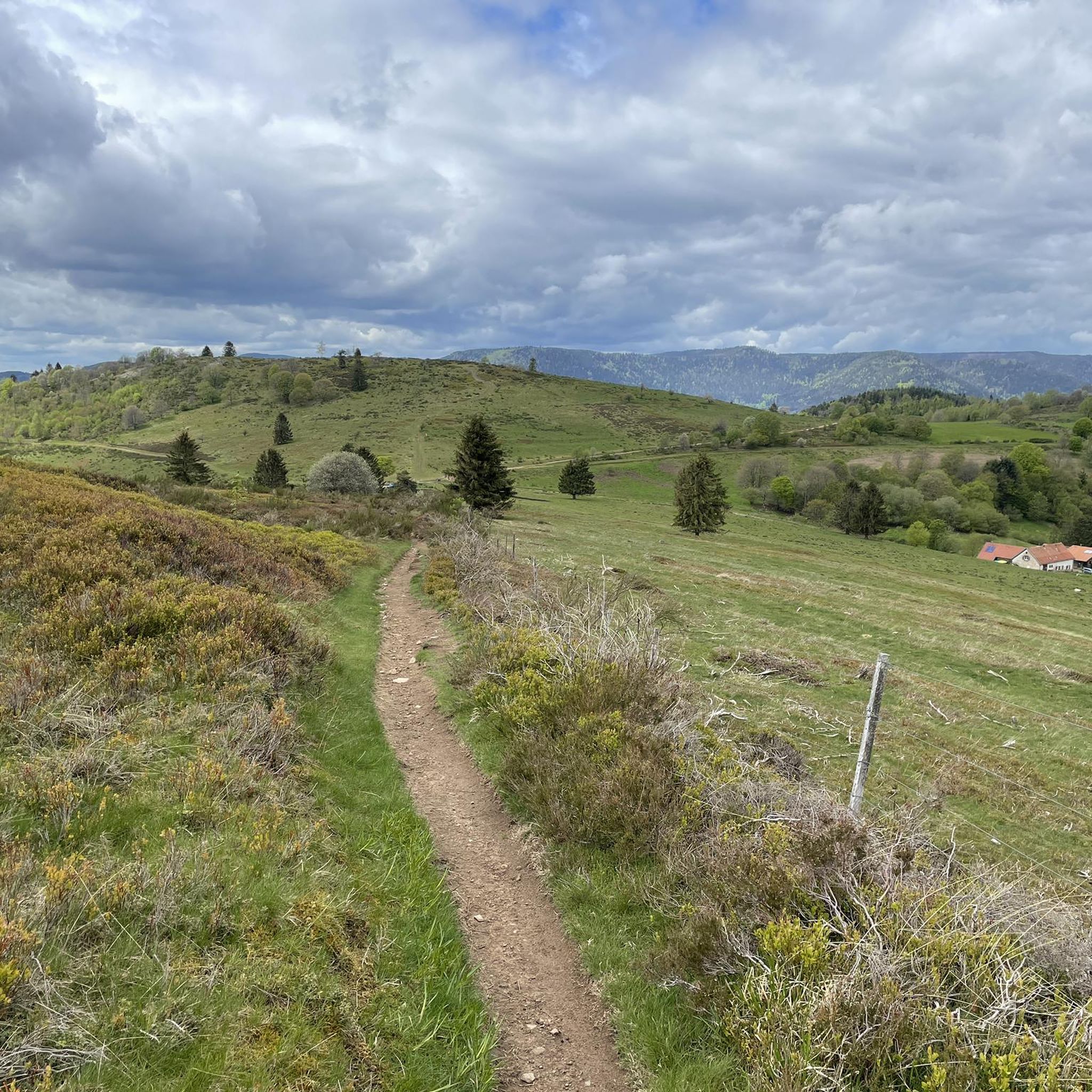
Champ du Feu, at 1099 meters, is the highest mountain in the Bas-Rhin department of the Vosges in Alsace. It is located between the villages of Belmont and Le Hohwald and consists of an extensive high plateau with forests, meadows, and moorlands. The area is a popular nature and recreational area. In summer, it is mainly used for hiking, mountain biking, and nature observation. In winter, there is a small ski resort with cross-country trails and simple slopes for winter sports. The stream La Serva originates from Champ du Feu and later forms the Cascade de la Serva. In clear weather, the summit offers wide views over the Vosges, the Rhine plain, and as far as the Black Forest. The area is particularly known for its tranquil nature, high moors, sunrises and starry skies, as well as well-marked hiking trails.
0
0
Champ du Feu, at 1099 meters, is the highest mountain in the Bas-Rhin department of the Vosges in Alsace. It lies between the towns of Belmont and Le Hohwald and consists of an extensive high plateau with forests, meadows, and moorlands. The area is a popular nature and recreational area. In summer, it is mainly used for hiking, mountain biking, and nature observation. In winter, there is a small ski area with cross-country trails and simple slopes for winter sports. The brook La Serva originates from Champ du Feu, later forming the Cascade de la Serva. In clear weather, the summit offers wide views over the Vosges, the Rhine plain, and as far as the Black Forest. The area is particularly known for its tranquil nature, high moors, sunrises and starry skies, as well as well-marked hiking trails.
0
0

Viewpoint with wonderful views
1
0

Possible origins of the name: Celtic rituals: It is believed that solstice and sacrificial fires were lit here in Celtic times. Charcoal burners' fire: The "fire" could also refer to the fires lit by charcoal burners in the surrounding forests of the Vosges Mountains. Cattle pasture: A popular theory states that the French word "feu" is a corruption of the German word "Vieh," meaning "field of cattle," as it was a sparsely wooded plateau where cattle could graze. Text from the Internet
1
0

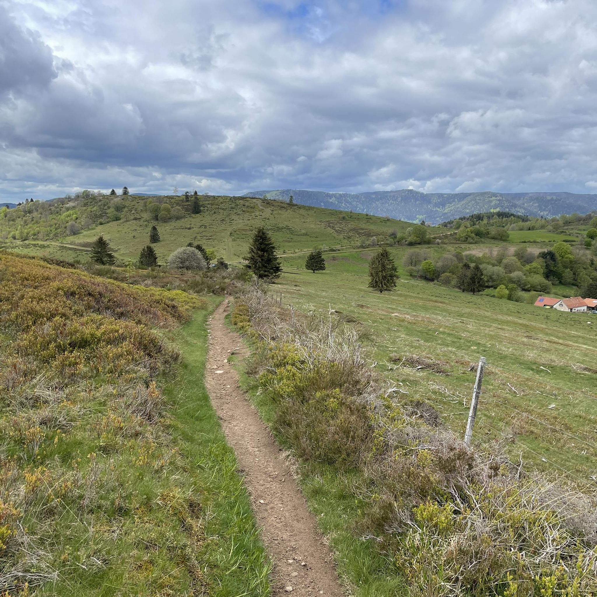
It is a beautiful and impressive path down, or you are almost at the top of the Col du Donon
1
1

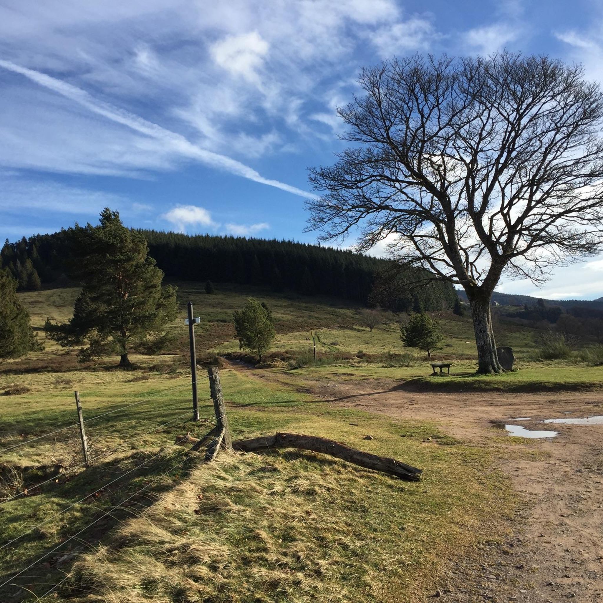
Maybe it's just a coincidence that the flat stone is standing so crooked here 😇
3
0
Large rock with an inscription on the ascent to the Donon. According to legend, possibly a sacrificial stone...
2
0

Frequently Asked Questions
Are there mountaineering routes suitable for beginners around Wildersbach?
Yes, there are routes that are considered easier. For instance, the Emperor's Steps – Donon Temple loop from Grandfontaine is an easy 3.6-mile (5.8 km) trail with an ascent of just over 260 meters, leading to the historic Donon Temple site. It's a great way to experience the mountainous terrain without extreme difficulty.
What kind of views can I expect on mountaineering routes near Wildersbach?
The routes around Wildersbach offer stunning panoramic views, especially from prominent peaks. For example, the area around Champ du Feu and The Hanging Cat provides expansive vistas of the Vosges Mountains and surrounding landscapes. You'll often find yourself amidst dense forests opening up to breathtaking mountain scenery.
Are there any circular mountaineering routes in the Wildersbach area?
Yes, many routes are designed as loops, allowing you to start and end at the same point. The Forest Road Through the Vosges – The Hanging Cat loop from Plaine is a moderate 7.7-mile (12.5 km) circular path, offering significant elevation gain and leading towards the La Chatte Pendue peak. Another option is the Chapel – Champ du Feu Monoliths loop from Réserve biologique dirigée du Champ du Feu, a 5.7-mile (9.2 km) trail through the Champ du Feu massif.
What are some notable landmarks or attractions to see along the mountaineering trails?
The region is rich in natural and historical landmarks. You can visit the historic Donon Temple site, explore the summit of Champ du Feu, or discover the Le Petit Donon. For a natural wonder, the Hohwald waterfall is also a beautiful sight in the vicinity.
What is the best time of year for mountaineering in Wildersbach?
The Vosges Mountains, where Wildersbach is located, offer diverse experiences throughout the year. While specific recommendations depend on your preferred conditions, late spring through early autumn generally provides the most favorable weather for mountaineering, with accessible trails and pleasant temperatures. Winter offers opportunities for snowshoeing or winter hiking, but requires appropriate gear and experience.
Are the mountaineering routes around Wildersbach suitable for families?
While some routes involve significant elevation gain, there are options that families can enjoy. The easier routes, such as the Emperor's Steps – Donon Temple loop from Grandfontaine, are generally more accessible for families looking for a less strenuous mountain experience. Always check the route's difficulty and length to ensure it matches your family's capabilities.
Are dogs allowed on the mountaineering trails in Wildersbach?
Generally, dogs are welcome on hiking and mountaineering trails in the Vosges Mountains, but it's always advisable to keep them on a leash, especially in nature reserves or areas with wildlife. Be sure to check specific local regulations or signage at trailheads, as rules can vary.
What is the typical difficulty level of mountaineering routes in Wildersbach?
The mountaineering routes around Wildersbach offer a range of difficulties. You'll find easier ascents, like the path to the Donon Temple, as well as more challenging routes with significant elevation gains, such as those leading towards La Chatte Pendue. The terrain is characterized by mountainous landscapes and dense forests, providing options for various skill levels.
Are there any waterfalls to see on the mountaineering routes?
Yes, the region features natural attractions like waterfalls. The Hohwald waterfall is a notable natural monument in the vicinity, offering a refreshing stop or a scenic detour during your mountaineering adventures.
What do other mountaineers say about the routes in Wildersbach?
The routes in Wildersbach are highly rated by the komoot community, with an average score of 5.0 stars from over 2 reviews. Mountaineers often praise the diverse terrain, the stunning views from peaks like Champ du Feu, and the opportunity to explore the rugged beauty of the Vosges Mountains.
Are there options for advanced mountaineers seeking a challenge?
Absolutely. The region's mountainous terrain, including the Vosges Mountains and peaks like La Chatte Pendue, provides ample opportunities for challenging hikes with considerable elevation gain. Routes like the Forest Road Through the Vosges – The Hanging Cat loop from Plaine offer significant ascents and are well-suited for those looking for a more strenuous experience.
Most popular routes around Wildersbach
Most popular attractions around Wildersbach

Get inspired with the komoot mobile app


Explore more
Browse the best Mountain Hikes & Routes in other regions.
