The best walks and hikes around Karrenzin
4.7
(127)
425
hikers
41
hikes
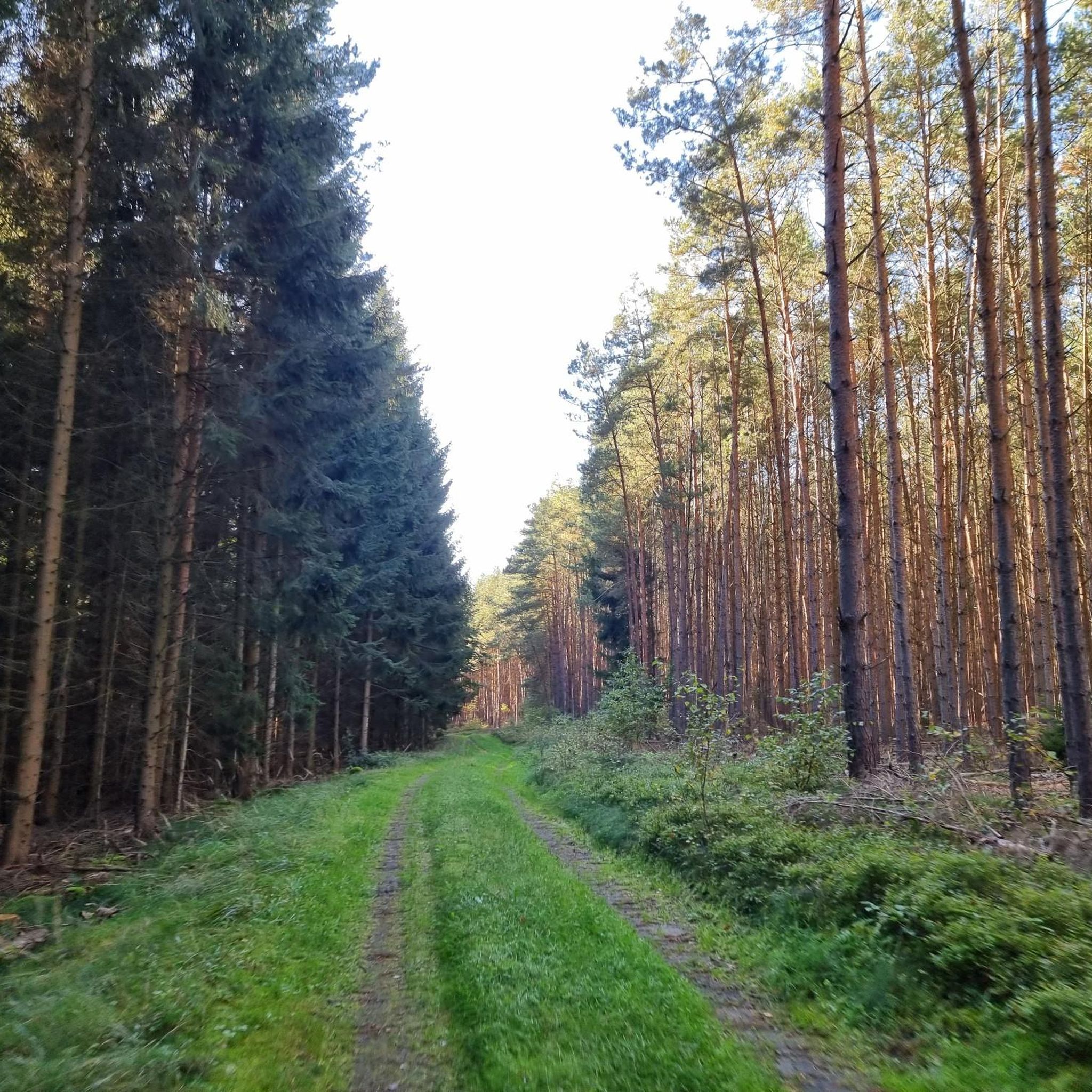
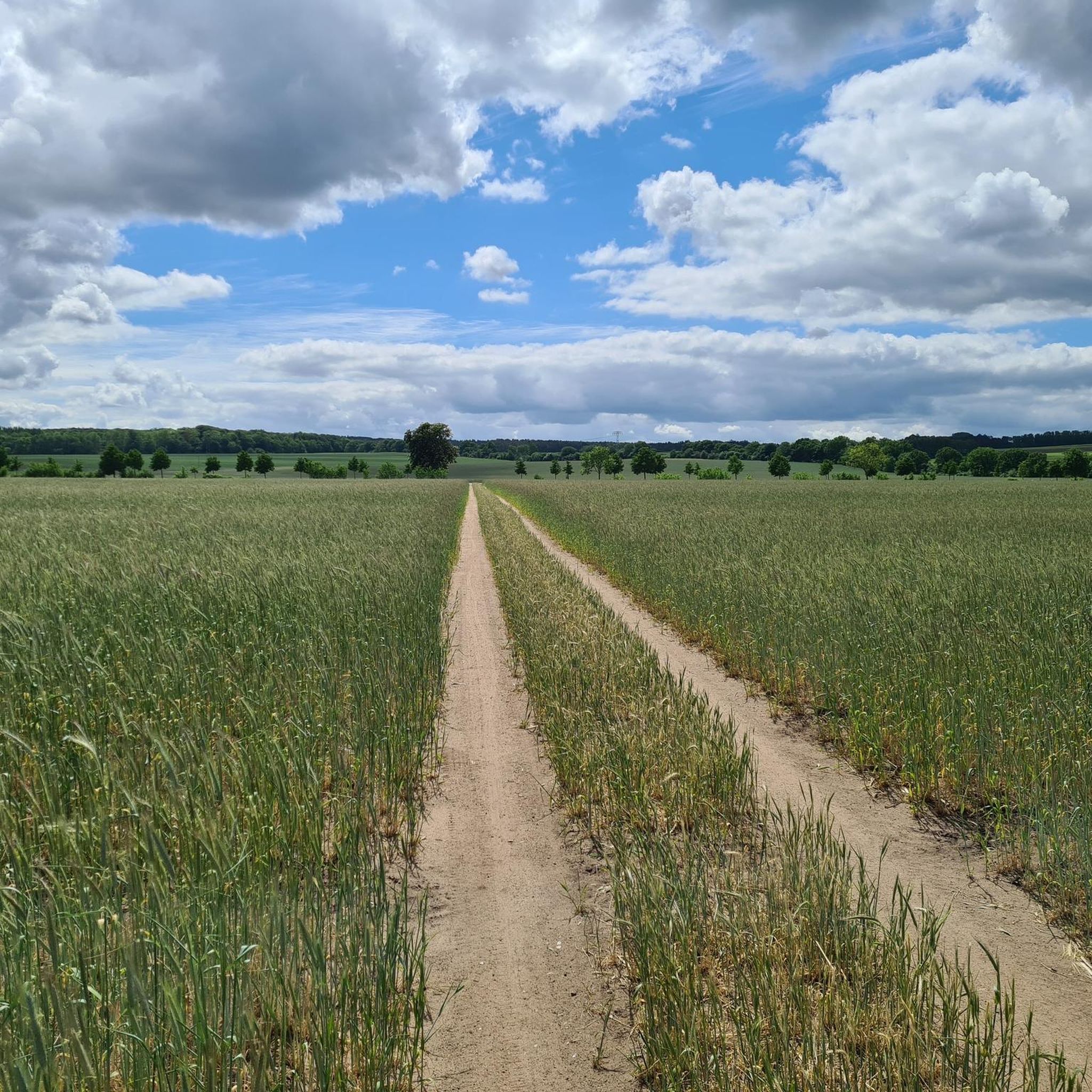
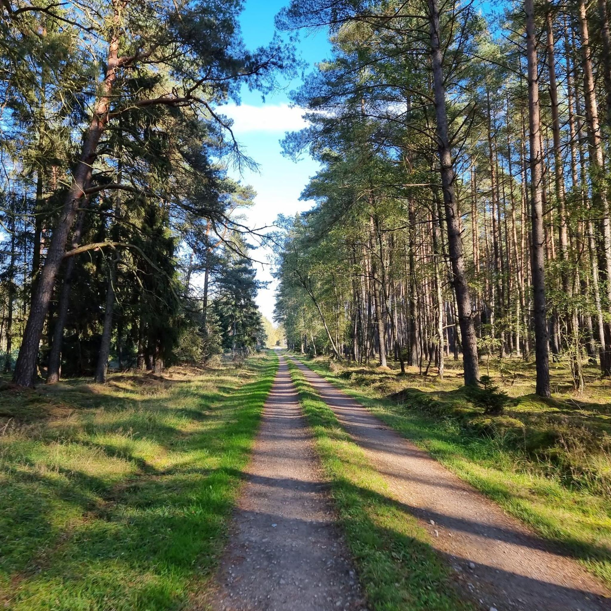
Hiking around Karrenzin offers access to the diverse natural landscapes of Mecklenburg-Vorpommern, characterized by forests, numerous lakes, and gentle hills shaped by the ice age. The region provides a picturesque setting for outdoor activities, with many routes featuring relaxed gradients without significant ascents. Karrenzin serves as a gateway to exploring these natural features, including areas near the Müritz National Park.
Best hiking trails around Karrenzin
- The most popular hiking route is Ruhner Berge Observation Tower – Path Along the Fields…
Last updated: October 29, 2026
4.6
(10)
41
hikers
12.3km
03:19
160m
160m
Moderate hike. Good fitness required. Easily walkable paths.
4.5
(6)
20
hikers
9.35km
02:30
110m
110m
Moderate hike. Good fitness required. Easily walkable paths.

4.0
(5)
24
hikers
Easy hike. Easily walkable paths.
5.0
(4)
20
hikers
Easy hike. Easily walkable paths.
5.0
(2)
19
hikers
Easy hike. Easily walkable paths.
Get access to more routes and recommendations from other explorers.
Already have an account?
Our route recommendations are based on thousands of hikes, rides, and runs completed by other people on komoot.
Start today with a free account
Your next adventure awaits.
Tips from the Community

Unfortunately, it was not possible to climb the tower, and it was particularly disappointing that there was no notice on the official pages about the closure, which has been in effect since June 2025.
1
0
Unfortunately, it was not possible to climb the tower, and it was particularly disappointing that there was no information on the official pages about the closure that has been in place since June 2025.
2
0
Unfortunately, climbing the tower was not possible, and it was particularly disappointing that there was no information about the closure, which has been in effect since June 2025, on the official pages.
1
0


The stairs from the path up to the tower were steep enough. You don't really need to lug your bike up as well. Do you? - Yes!
1
0

Between KM 8.0 and 8.3 there is the opportunity to run in two federal states on a paved avenue: The state border between Mecklenburg-Western Pomerania and Brandenburg runs right in the middle of the avenue - whoever walks on the left runs in Mecklenburg, whoever runs on the right runs in Brandenburg.
1
0
Frequently Asked Questions
How many hiking trails are available around Karrenzin?
There are over 40 hiking trails around Karrenzin, offering a variety of options for different skill levels. These routes explore the region's characteristic forests, lakes, and gentle, ice-age shaped hills.
What kind of terrain can I expect on hikes near Karrenzin?
The terrain around Karrenzin is generally characterized by relaxed gradients, without long ascents, making it accessible for many. You'll find paths through expansive forests, along tranquil lakes, and across wide plains and small hills shaped by the ice age.
Are there any family-friendly hiking options in the Karrenzin area?
Yes, many of the trails around Karrenzin are suitable for families due to their relaxed gradients and scenic natural surroundings. The region's focus on accessible routes means you'll find plenty of easy options for a pleasant outing with children.
Can I bring my dog on the hiking trails near Karrenzin?
Generally, dogs are welcome on hiking trails in the Mecklenburg-Vorpommern region. However, specific rules may apply in nature reserves or national parks, such as keeping dogs on a leash. Always check local signage, especially if venturing into areas like the Müritz National Park.
Are there any circular hiking routes around Karrenzin?
Yes, many routes around Karrenzin are designed as loops, allowing you to start and end at the same point. For example, the Ruhner Berge Observation Tower – Path Along the Fields loop from Marnitz is a popular moderate circular trail.
What natural features or landmarks can I see while hiking near Karrenzin?
While hiking, you can explore the characteristic forests and lakes of Mecklenburg-Vorpommern. A notable landmark is the Seven Stones of Spornitz, a natural monument near Karrenzin. Many routes also lead towards the Ruhner Berge Observation Tower, offering expansive views.
What do other hikers enjoy most about hiking in Karrenzin?
The area is highly rated by the komoot community, with an average score of 4.7 stars from over 100 reviews. Hikers often praise the quiet woodlands, tranquil lakes, and the well-maintained paths that offer a peaceful outdoor experience.
Is public transport available to access hiking trails near Karrenzin?
Public transport options to specific trailheads directly in Karrenzin may be limited. It's advisable to check local bus schedules or consider driving to starting points, especially for routes further afield. The region is generally more accessible by car for reaching diverse hiking areas.
Are there any cafes or restaurants near the hiking trails in Karrenzin?
While Karrenzin itself is a smaller community, you can find cafes and restaurants in nearby towns like Parchim. It's a good idea to plan your refreshments before or after your hike, especially for longer routes, as on-trail options might be scarce.
What is the best time of year to go hiking around Karrenzin?
The best time to hike around Karrenzin is typically from spring to autumn. Spring offers blooming nature, while summer allows for combining hikes with swimming in the lakes. Autumn provides beautiful foliage and is ideal for mushroom picking. Winter hiking is also possible, offering a serene, snow-covered landscape.
Are there any easy hiking trails suitable for beginners?
Yes, Karrenzin offers several easy hiking trails perfect for beginners or those looking for a relaxed stroll. An example is the Path Along the Fields – Ruhner Berge Observation Tower loop from Marnitz, which is 4.7 km long and takes about 1 hour 15 minutes to complete.
Are hiking permits required in the Mecklenburg-Vorpommern region?
Generally, hiking on public trails in Mecklenburg-Vorpommern does not require a permit. However, if you plan to enter specific protected areas, such as parts of the Müritz National Park, it's always wise to check their official guidelines for any special regulations or restricted zones. You can find more information on the Müritz National Park website: mueritz-nationalpark.de.
Most popular attractions around Karrenzin

Get inspired with the komoot mobile app


Explore more
Browse the best Hikes in other regions.
