The best walks and hikes around Saint-Viâtre
4.2
(60)
357
hikers
43
hikes
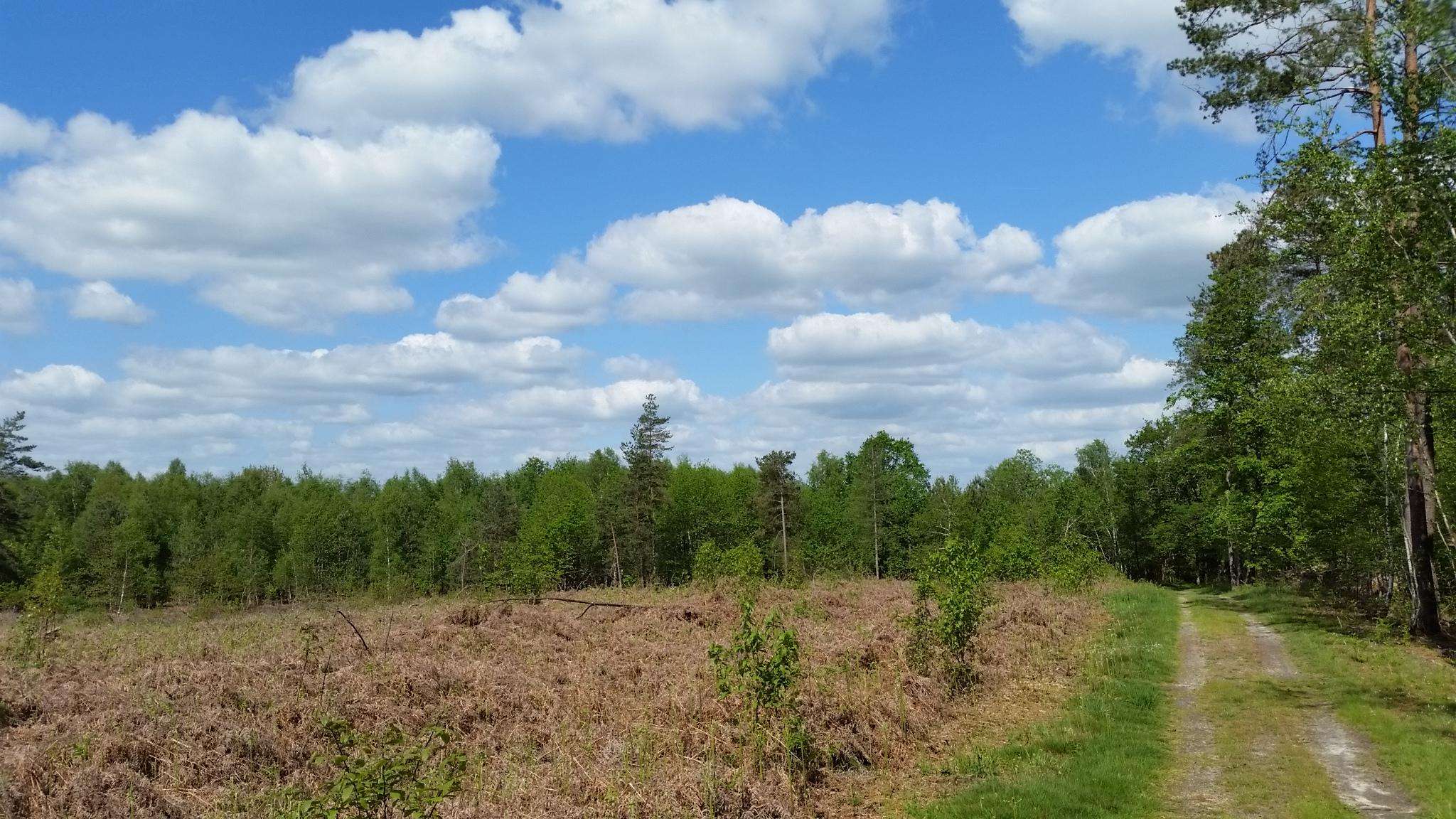
Hiking around Saint-Viâtre offers exploration through the distinctive Sologne region, characterized by its extensive aquatic landscape. The area features a network of ponds, with Saint-Viâtre's territory alone containing 135 individual water bodies. Dense forests cover a significant portion of the landscape, interspersed with heaths and prairies. The terrain generally presents low elevation gains, making it accessible for various hiking levels.
Best hiking trails around Saint-Viâtre
- The most popular hiking route is Étang de la Pérelle – Étang du Beaufray loop…
Last updated: June 25, 2026
5.0
(2)
29
hikers
Moderate hike. Good fitness required. Easily-accessible paths. Suitable for all skill levels.
4.3
(4)
19
hikers
5.64km
01:26
20m
20m
Easy hike. Great for any fitness level. Easily-accessible paths. Suitable for all skill levels.

Sign up for free
8
hikers
Easy hike. Great for any fitness level. Easily-accessible paths. Suitable for all skill levels.
4.3
(3)
7
hikers
Moderate hike. Good fitness required. Easily-accessible paths. Suitable for all skill levels.
4.7
(3)
30
hikers
Moderate hike. Good fitness required. Easily-accessible paths. Suitable for all skill levels.
Get access to more routes and recommendations from other explorers.
Sign up for free
Already have an account?
Our route recommendations are based on thousands of hikes, rides, and runs completed by other people on komoot.
Start today with a free account
Your next adventure awaits.
Login or Signup


Frequently Asked Questions
How many hiking trails are available around Saint-Viâtre?
There are over 45 hiking routes around Saint-Viâtre, offering a wide range of options for exploring the Sologne region. These include 20 easy trails, 23 moderate routes, and a few more challenging options.
What kind of landscape can I expect when hiking near Saint-Viâtre?
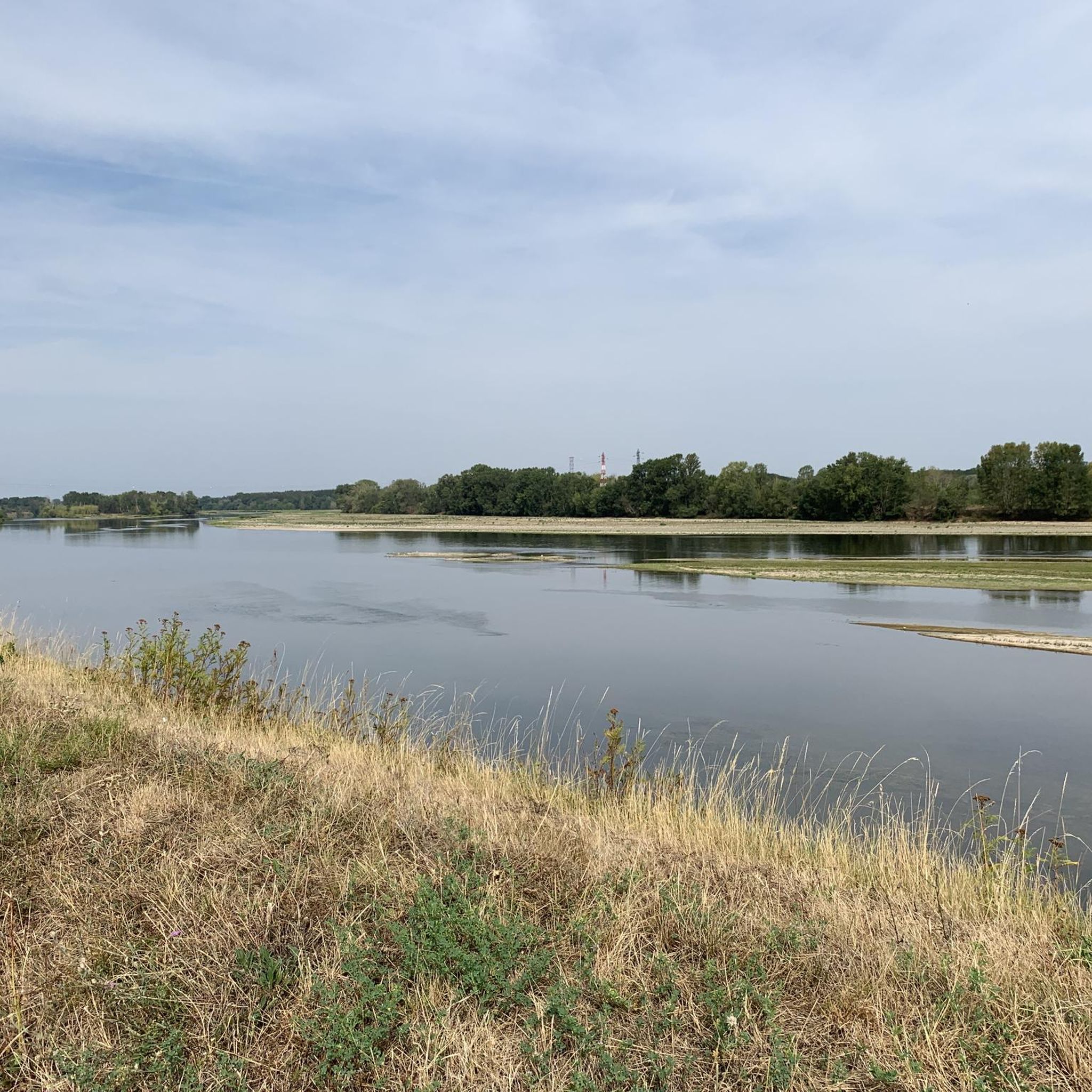
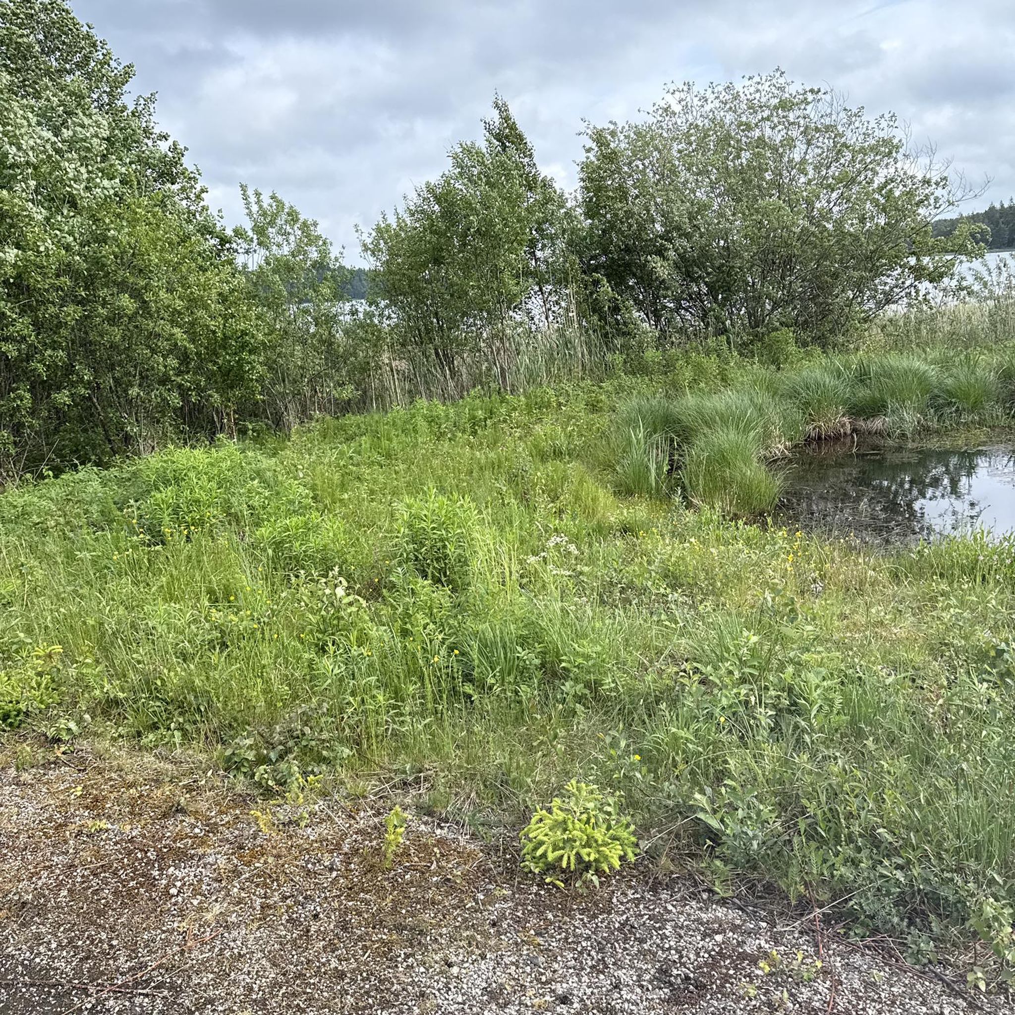
The landscape around Saint-Viâtre is defined by its unique aquatic features, with over 135 ponds within the commune's territory. You'll hike through dense forests, interspersed with heaths and prairies, creating a diverse and serene environment. The terrain generally features low elevation gains, making it accessible for various hiking levels.
What do other hikers say about the trails in Saint-Viâtre?
The hiking routes around Saint-Viâtre are highly rated by the komoot community, with an average score of 4.2 stars from over 40 reviews. Hikers often praise the tranquil pond and forest landscapes, as well as the well-maintained paths that offer a peaceful escape into nature.
Are there easy hiking trails suitable for beginners or casual walkers?
Yes, Saint-Viâtre offers many easy hiking trails. For example, the Étang de la Gravelle – Étang de Fontenazain loop from Marcilly-en-Gault is an easy 4.5-mile (7.3 km) path that provides beautiful views of multiple ponds and woodlands.
What is the typical elevation gain on hikes around Saint-Viâtre?
Hikes around Saint-Viâtre are generally characterized by low elevation gains, making them suitable for most fitness levels. For instance, the Étang de la Pérelle – Étang du Beaufray loop from La Ferté-Beauharnais, a moderate 5.4-mile (8.8 km) trail, has an elevation gain of less than 40 meters.
Are there any circular hiking routes around Saint-Viâtre?
Yes, many of the trails around Saint-Viâtre are circular routes, perfect for exploring without retracing your steps. An example is the Étang du Beaufray – Étang de la Pérelle loop from Neung-sur-Beuvron, which is 5.1 miles (8.2 km) long and takes you through a landscape rich in ponds and forests.
Can I bring my dog on the hiking trails in Saint-Viâtre?
While specific regulations can vary, the natural environment of Saint-Viâtre and the Sologne region is generally welcoming to dogs. It's always recommended to keep your dog on a leash, especially in areas with wildlife or near ponds, to protect both your pet and the local ecosystem.
Are there family-friendly hiking options in Saint-Viâtre?
Yes, the low elevation and diverse landscapes make many trails in Saint-Viâtre suitable for families. The numerous ponds and forests offer engaging scenery for children, and the shorter, easy routes are ideal for walks with younger family members.
What natural features or wildlife can I observe while hiking?
The region is a paradise for nature lovers. You can observe a variety of bird species around the ponds, such as great egrets and crested grebes. The dense forests are home to deer, wild boars, and hares. During autumn, you might even hear the impressive bellowing of stags.
What historical or cultural landmarks can I see near the hiking trails?
While hiking, you can discover several points of interest. The 18th-century Villebourgeon Castle is visible from some routes. The village of Saint-Viâtre itself features the 8th-century Saint-Viâtre church with its distinctive twisted bell tower. You might also encounter the Saint-Étienne Church of Chaumont-sur-Tharonne.
Is there parking available at the trailheads?
Parking is generally available in or near the villages that serve as starting points for hikes, such as Saint-Viâtre, La Ferté-Beauharnais, or Marcilly-en-Gault. Specific parking details can often be found on individual route descriptions.
What is the best time of year to hike in Saint-Viâtre?
Saint-Viâtre offers pleasant hiking experiences throughout much of the year. Spring and autumn are particularly beautiful, with vibrant foliage or blooming flora. Autumn also brings the chance to witness the stag rut. Summers are generally mild, but it's always wise to check local weather conditions.
Are there any longer, moderate hikes for more experienced walkers?
Yes, for those looking for a slightly longer and moderate challenge, the Étang de la Goujonnière – Étang du Briou loop from Marcilly-en-Gault is a great option. This 6.6-mile (10.6 km) route takes you through more of the characteristic pond and forest landscape of the Sologne.
Most popular routes around Saint-Viâtre
Most popular attractions around Saint-Viâtre

Get inspired with the komoot mobile app


Explore more
Browse the best Hikes in other regions.
