The best walks and hikes around Laigny
4.3
(36)
155
hikers
49
hikes
Hiking around Laigny offers tranquil outdoor experiences through a rural landscape in the Aisne department. The commune is characterized by gently undulating terrain, with elevations ranging from 140 to 204 meters, built on two hills separated by the Beaurepaire river valley. The territory features a mosaic of agricultural fields, including wheat and corn, interspersed with bocage and small wooded areas, providing opportunities for leisurely exploration.
Best hiking trails around Laigny
- The most popular hiking route is Fortified church of Autreppe…
Last updated: July 11, 2026
5.0
(3)
11
hikers
Easy hike. Great for any fitness level. Easily-accessible paths. Suitable for all skill levels.
4.0
(1)
9
hikers
9.21km
02:26
90m
90m
Moderate hike. Good fitness required. Easily-accessible paths. Suitable for all skill levels.

Sign up for free
4.0
(4)
6
hikers
14.7km
03:58
170m
170m
Moderate hike. Good fitness required. Mostly accessible paths. Sure-footedness required.
11
hikers
11.2km
02:58
100m
100m
Moderate hike. Good fitness required. Easily-accessible paths. Suitable for all skill levels.
5.0
(3)
10
hikers
Easy hike. Great for any fitness level. Easily-accessible paths. Suitable for all skill levels.
Get access to more routes and recommendations from other explorers.
Sign up for free
Already have an account?
Our route recommendations are based on thousands of hikes, rides, and runs completed by other people on komoot.
Start today with a free account
Your next adventure awaits.
Login or Signup



Tips from the Community


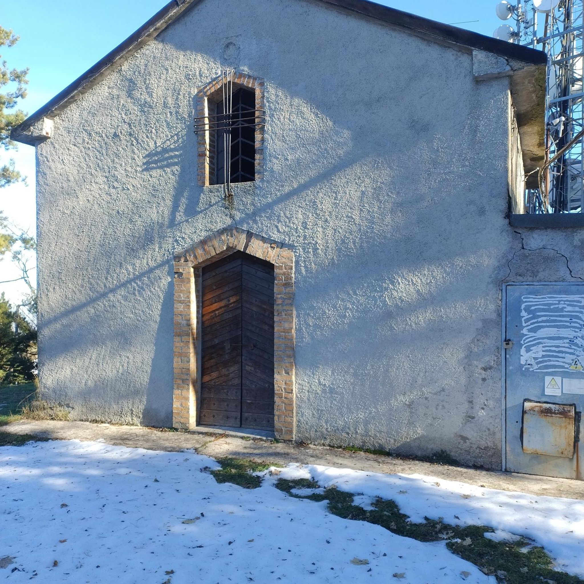
Fantastic fortified church that has survived several wars.
1
0

The Ax Vert de la Thiérarche is a former railway line that has been converted into a cycling and walking path. The trail of almost 40 kilometers runs from Guise to Hirson, via Autreppes, and offers a pleasant and peaceful environment for walking, cycling and horse riding. The path runs along the banks of the Oise River and offers beautiful views of the natural and cultural heritage of the Thiérache.
2
0
one of the beautiful old fortified churches in this region
2
0

Magnificent passage through the woods, and a pretty little village on the route.
2
0

Small pond on the old railway line. But scenic great place 😊
2
0

Very beautiful but quite degraded.
0
0
The fortified church of Saint Hilaire dates from 1632. It has been listed as a Historic Monument since 1989. It is particularly remarkable for its square bell tower-keep, which is flanked by 2 round turrets, all in brick covered with slate.
1
0
Frequently Asked Questions
How many hiking trails are available around Laigny?
There are over 45 hiking routes around Laigny, offering a variety of experiences through its rural landscape. These include 22 easy trails and 24 moderate trails, ensuring options for different fitness levels.
What kind of landscape can I expect when hiking in Laigny?
Laigny offers a tranquil rural landscape characterized by gently undulating terrain, with elevations ranging from 140 to 204 meters. You'll primarily encounter agricultural fields, including wheat, beet, and corn, interspersed with traditional bocage (small fields, hedges, and woodlands). The Beaurepaire river valley also adds a natural water feature to the scenery.
Are there any easy hiking trails suitable for beginners or families in Laigny?
Yes, Laigny has 22 easy hiking trails. A great option for a gentle walk is the Fortified church of Autreppe – Saint-Hilaire Church loop from Erloy, which is 6.6 km long and takes about 1 hour 44 minutes to complete, connecting historical churches in a rural setting.
What are some interesting landmarks or points of interest I might see on a hike?
While hiking around Laigny, you might encounter various points of interest. Some routes pass by historical churches, and you could explore the Old railroad, the charming Lavoir de Malzy, or parts of the Axe Vert de la Thiérache. For a riverside stop, consider the Oise Riverside Picnic and Swimming Spot near Autreppes.
Are there any circular walks available in the Laigny area?
Yes, many of the trails around Laigny are circular. For example, the Forêt du Régnaval loop from Erloy is a moderate 14.7 km route that takes you through the Régnaval Forest, offering a complete loop experience.
What do other hikers say about the trails in Laigny?
The trails in Laigny are highly regarded by the komoot community, with an average rating of 4.4 stars from over 30 reviews. Hikers often praise the peaceful rural atmosphere, the gentle terrain suitable for leisurely exploration, and the well-maintained paths through agricultural fields and bocage.
Are there any longer, more challenging hikes around Laigny?
While Laigny doesn't have 'difficult' rated trails, there are moderate options that offer a longer distance. The Forêt du Régnaval loop from Erloy is a good choice, covering 14.7 km and typically taking around 4 hours to complete.
Can I find trails that explore both historical sites and natural landscapes?
Absolutely. The Saint-Hilaire Church – Old railroad loop from Sorbais is a moderate 9.2 km path that allows you to explore rural landscapes while also passing by Saint-Hilaire Church and an old railroad track, blending history with nature.
What is the terrain like for hiking in Laigny?
The terrain in Laigny is generally gently undulating, with no steep climbs, making it suitable for easy to moderate walks. You'll walk through a mix of open agricultural fields, small wooded areas, and traditional bocage landscapes. The presence of the Beaurepaire river also suggests some pleasant riverside sections.
Are there any trails that pass through forests or more wooded areas?
Yes, some trails lead through wooded environments. The Forêt du Régnaval loop from Erloy is a prime example, taking you directly through the Régnaval Forest, offering a different natural setting compared to the open fields.
Are there any trails near Laigny that offer a mix of village and countryside views?
Many routes in the area connect small villages with the surrounding countryside. The Manor Farm loop from Vervins, for instance, is a moderate 11.2 km hike that allows you to experience both the rural charm of the area and its agricultural landscapes.
Most popular attractions around Laigny

Get inspired with the komoot mobile app


Explore more
Browse the best Hikes in other regions.
