The best walks and hikes around Clézentaine
4.5
(10)
51
hikers
19
hikes
Hiking trails around Clézentaine provide access to the diverse landscapes of the Vosges region in France. The area is characterized by extensive forests, serene lakes, and varied terrain, including both gentle paths and routes with notable elevation changes. Hikers can explore natural features typical of the Vosges Massif, such as wooded hills and valleys. The local environment supports a network of paths suitable for different levels of experience.
Best hiking trails around Clézentaine
- The most popular hiking route is Saint Libaire Church – Rambervillers Town Hall loop from Rambervillers, a 4.0 miles (6.4 km) trail that takes 1 hour 40 minutes to complete. This easy route explores the local surroundings of Rambervillers.
- Another top favourite among local hikers is Moyen Castle – 36th RIC Monument loop from Gerbéviller, a moderate 9.5 miles (15.3 km) path. This route features varied terrain and includes historical points of interest.
- Local hikers also love the Saint Libaire Church loop from Rambervillers, a 2.7 miles (4.3 km) trail leading through local woodlands, often completed in about 1 hour 7 minutes.
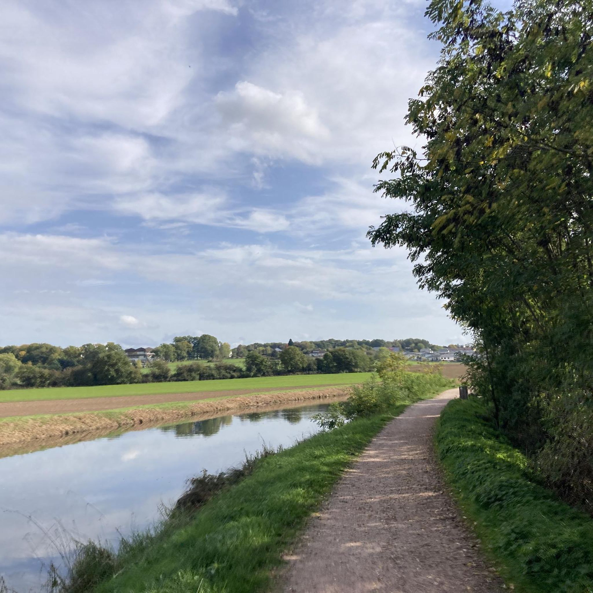
- Hiking around Clézentaine is defined by deep forests, serene lakes, and varied terrain with options for different ability levels.
- The routes in Clézentaine are highly rated by the komoot community with an average score of 4.8 stars from over 9 reviews. More than 50 hikers have used komoot to explore Clézentaine's varied terrain.
Last updated: May 15, 2026
6
hikers
12.9km
03:20
80m
80m
Moderate hike. Good fitness required. Easily-accessible paths. Suitable for all skill levels.
5
hikers
16.4km
04:26
220m
220m
Moderate hike. Good fitness required. Easily-accessible paths. Suitable for all skill levels.

Sign up for free
3
hikers
7.72km
02:00
50m
50m
Moderate hike. Good fitness required. Easily-accessible paths. Suitable for all skill levels.
4
hikers
3.75km
00:57
10m
10m
Easy hike. Great for any fitness level. Easily-accessible paths. Suitable for all skill levels.
4
hikers
10.5km
02:47
90m
90m
Moderate hike. Good fitness required. Easily-accessible paths. Suitable for all skill levels.
Get access to more routes and recommendations from other explorers.
Sign up for free
Already have an account?
Our route recommendations are based on thousands of hikes, rides, and runs completed by other people on komoot.
Start today with a free account
Your next adventure awaits.
Login or Signup



Tips from the Community

The Château de Moyen is a 15th century fortress also known as the Château de Qui-qu'en-grogne. It was built by Conrad Bayer de Boppart, bishop of Metz, to defend his possessions against the Dukes of Lorraine. The castle was besieged and dismantled several times. Today it is partly restored and partly in ruins. You can explore the remains of the castle, such as the stately home, towers, walls and moat, and enjoy the panoramic view of the surrounding countryside. The castle is open to visitors from April to October, and you can also take part in guided tours or restoration workshops organized by a local association.
3
0

If you like old medieval castles, this is worth a look if you ride by it.
1
0

The church was built in the 16th century.
0
0
Frequently Asked Questions
How many hiking trails are available around Clézentaine?
There are over 10 hiking routes available around Clézentaine, offering a variety of experiences. These trails are highly rated by the komoot community, with an average score of 4.8 stars.
What are the different difficulty levels for hiking trails near Clézentaine?
The trails around Clézentaine cater to various skill levels. You'll find 6 easy routes, 7 moderate paths, and 1 more challenging hike. This diversity allows everyone from beginners to experienced hikers to find a suitable adventure.
Are there family-friendly hiking options around Clézentaine?
Yes, the Clézentaine area offers several easy routes perfect for families. For example, the Saint Libaire Church loop from Rambervillers is a gentle 2.7-mile (4.3 km) trail through woodlands, typically completed in just over an hour, making it ideal for a family outing.
Can I bring my dog on the hiking trails in Clézentaine?
Generally, the hiking trails in the Vosges region, including those around Clézentaine, are dog-friendly. It's always recommended to keep your dog on a leash, especially in areas with wildlife or near livestock, and to check for any specific local regulations at the trailhead.
What kind of terrain can I expect on the hiking trails around Clézentaine?
The terrain around Clézentaine, typical of the Vosges Massif, is quite varied. You can expect to hike through deep forests, alongside serene lakes, and across rolling hills. Some paths are gentle and well-maintained, while others offer more significant elevation changes, providing a diverse hiking experience.
Are there any circular hiking routes available?
Yes, many routes around Clézentaine are circular, allowing you to start and end at the same point. A popular option is the Saint Libaire Church – Rambervillers Town Hall loop from Rambervillers, an easy 4.0-mile (6.4 km) trail that explores the local surroundings.
What natural features or landmarks can I see while hiking near Clézentaine?
While hiking near Clézentaine, you can explore various natural and historical landmarks. Notable attractions include the historic Moyen Castle, the peaceful Giriviller Arboretum, and the scenic Chapelle Saint-Pierre with its views of the Vosges. The region is also known for its deep forests and varied landscapes.
When is the best time of year to go hiking in the Clézentaine area?
The Vosges region, including Clézentaine, is beautiful for hiking from spring through autumn. Spring brings lush greenery and blooming wildflowers, while autumn offers stunning fall foliage. Summer is also popular, but trails can be busier. Winter hiking is possible, especially on lower-elevation paths, but requires appropriate gear for snow and ice.
What do other hikers enjoy the most about hiking in Clézentaine?
The area is highly rated by the komoot community, with an average score of 4.8 stars from over 9 reviews. Hikers often praise the diverse landscapes, from deep forests to serene lakes, and the well-maintained network of paths that cater to different abilities. The peaceful natural environment is a common highlight.
Are there any historical sites along the hiking routes?
Yes, some routes incorporate historical points of interest. For instance, the Moyen Castle – 36th RIC Monument loop from Gerbéviller is a moderate 9.5-mile (15.3 km) path that features both the historic Moyen Castle and the 36th RIC Monument, offering a blend of nature and history.
Is parking available at the trailheads around Clézentaine?
While specific parking details for every trailhead are not listed, it is generally possible to find parking in or near the villages that serve as starting points for hikes in the Vosges region, such as Rambervillers. Look for designated parking areas in town centers or near popular trail access points.
How long do hikes around Clézentaine typically take?
Hike durations vary depending on the route's length and difficulty. For example, an easy 2.7-mile (4.3 km) loop like the Saint Libaire Church loop from Rambervillers takes about 1 hour and 7 minutes, while a moderate 9.5-mile (15.3 km) route such as the Moyen Castle – 36th RIC Monument loop from Gerbéviller can take around 4 hours and 9 minutes.
Most popular attractions around Clézentaine

Get inspired with the komoot mobile app


Explore more
Browse the best Hikes in other regions.
