The best gravel rides around Montbenoît
5.0
(4)
38
riders
8
rides
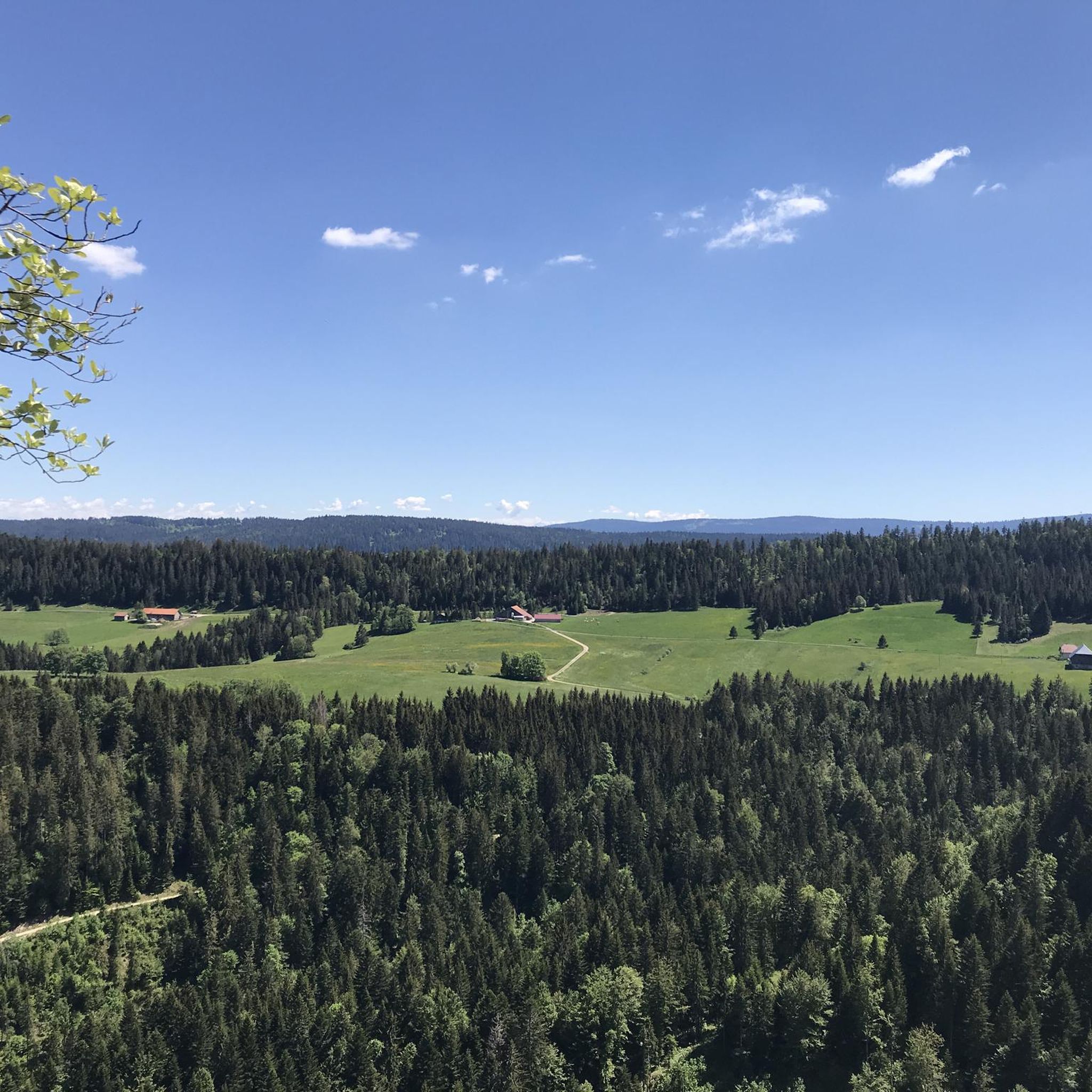
Gravel biking around Montbenoît offers diverse landscapes within the Jura Mountains, characterized by rolling hills, dense forests, and picturesque valleys. The region features a mix of mid-altitude peaks, vast plateaus, and deep river valleys, providing varied terrain for cyclists. Routes traverse both paved roads and unpaved dirt and gravel tracks, often following the Doubs River or exploring the verdant Saugeais Valley. This environment allows for exploration on various surfaces, from moderate paths to more challenging routes with significant elevation changes.
…Last updated: June 27, 2026
5.0
(1)
4
riders
17.1km
01:17
190m
190m
Moderate gravel ride. Good fitness required. Mostly paved surfaces. Suitable for all skill levels.
5.0
(2)
14
riders
65.6km
04:31
1,210m
1,210m
Hard gravel ride. Very good fitness required. Mostly paved surfaces. Suitable for all skill levels.

Sign up for free
2
riders
20.5km
01:45
410m
410m
Moderate gravel ride. Good fitness required. Mostly paved surfaces. Suitable for all skill levels.
3
riders
37.9km
02:48
870m
870m
Hard gravel ride. Very good fitness required. Mostly paved surfaces. Suitable for all skill levels.
2
riders
30.5km
02:14
550m
550m
Hard gravel ride. Very good fitness required. Mostly paved surfaces. Suitable for all skill levels.
Get access to more routes and recommendations from other explorers.
Sign up for free
Already have an account?
Our route recommendations are based on thousands of hikes, rides, and runs completed by other people on komoot.
Start today with a free account
Your next adventure awaits.
Login or Signup
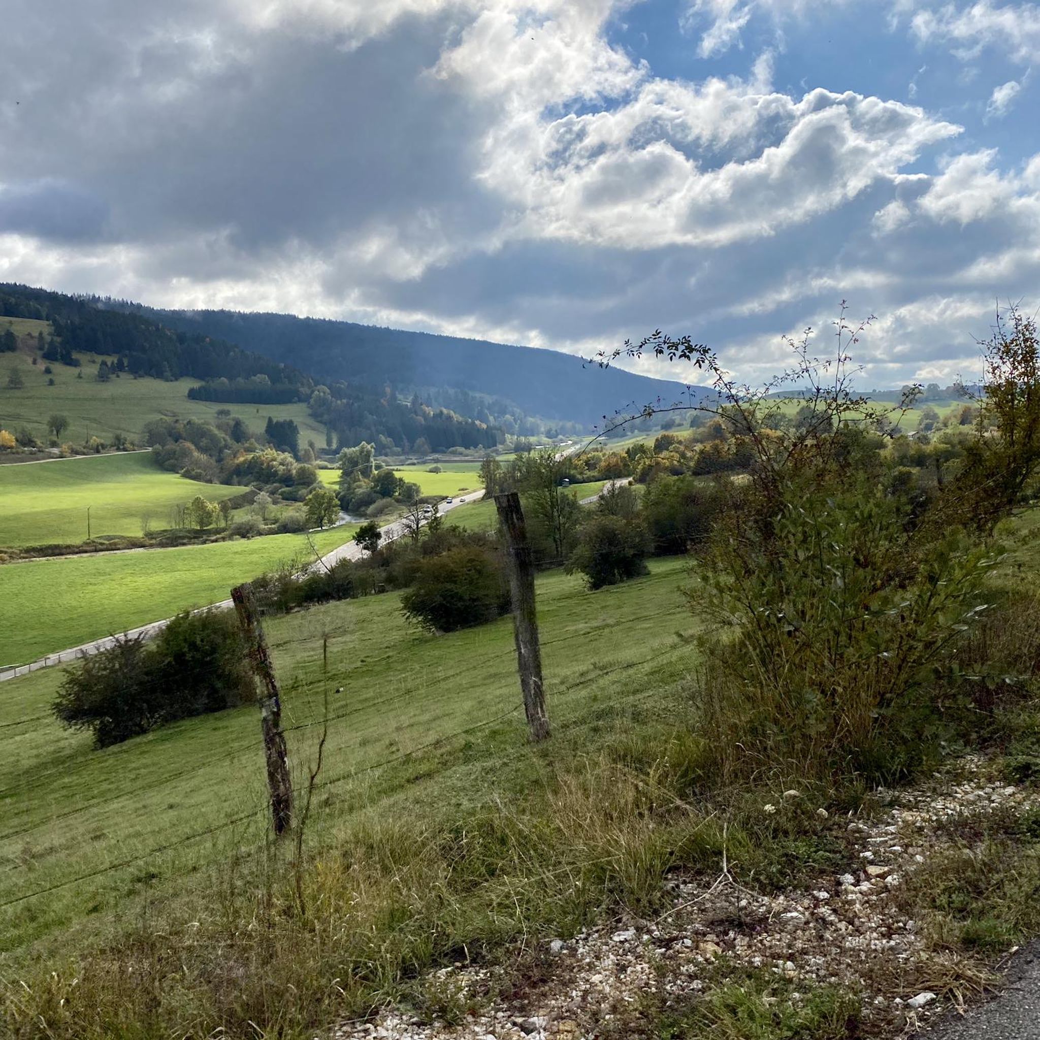
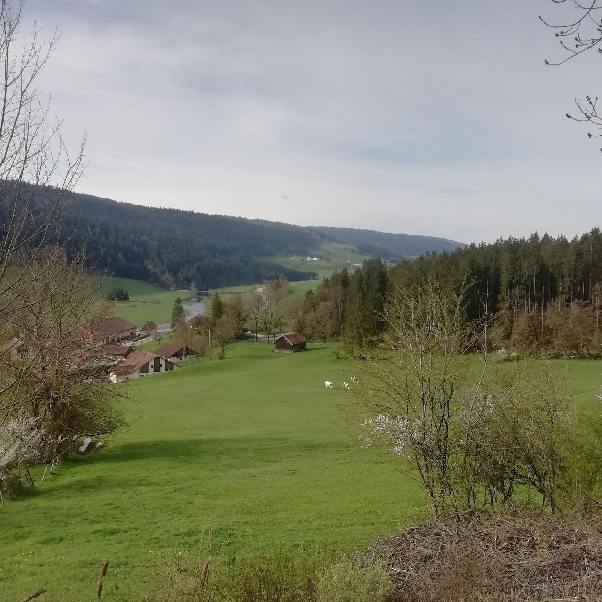
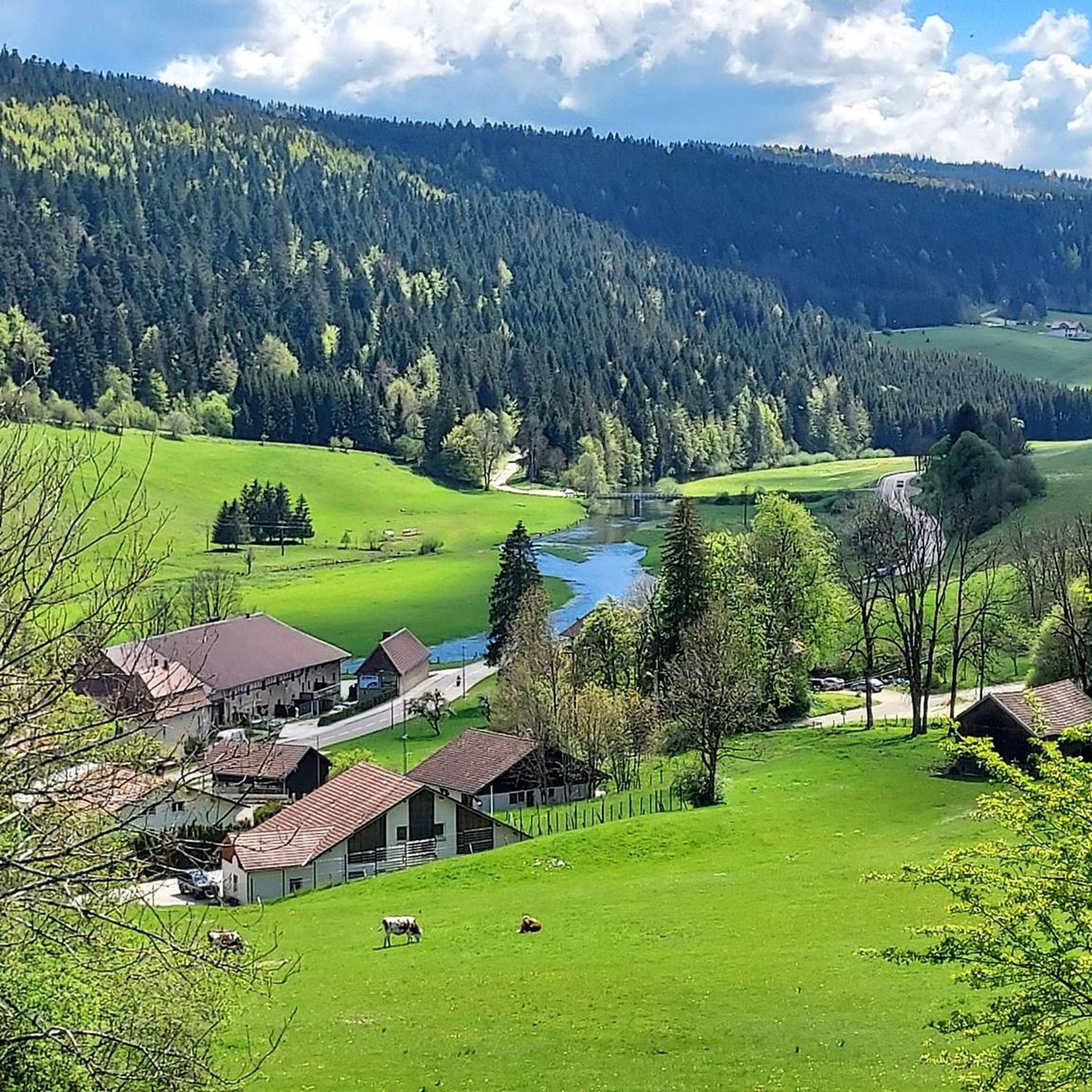
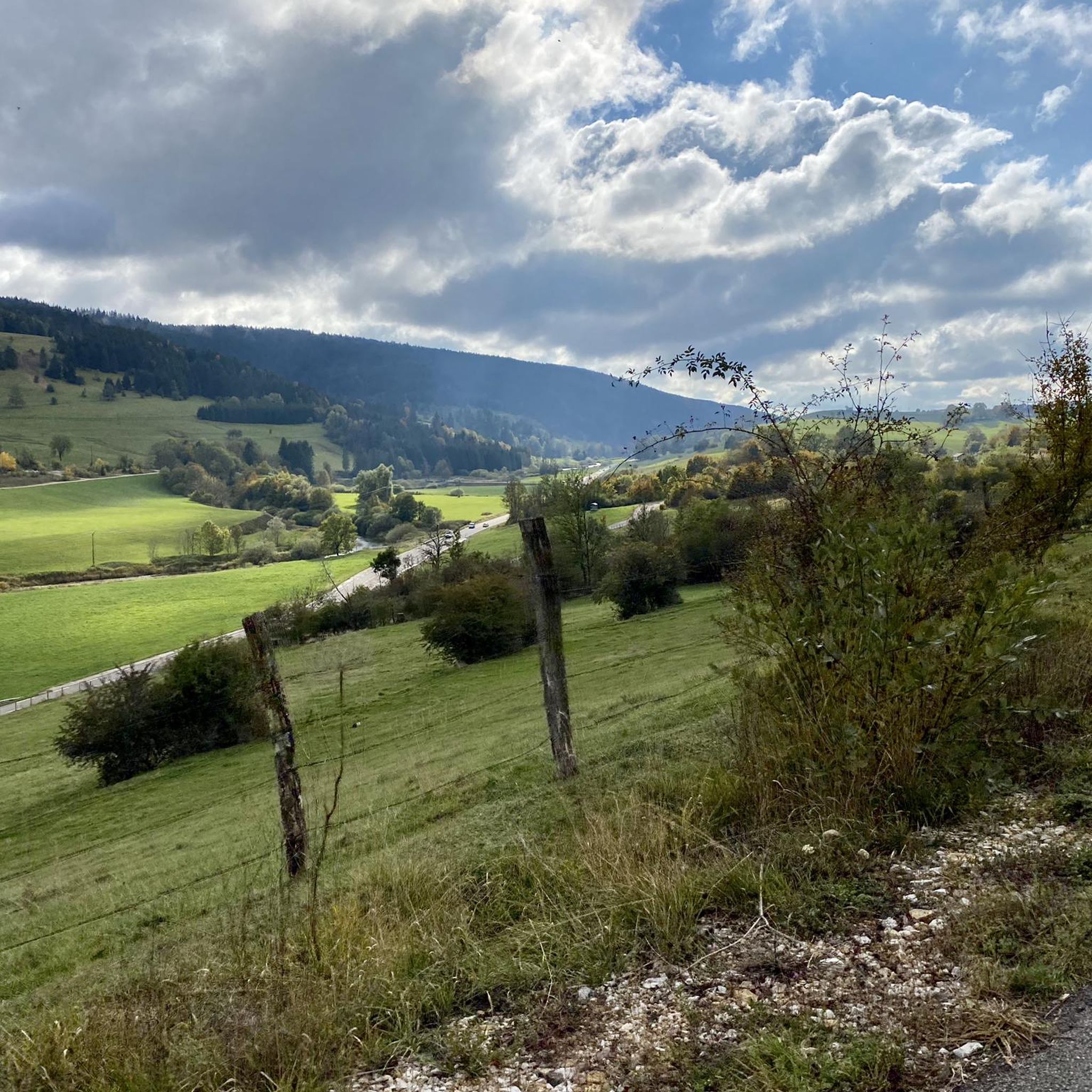
Tips from the Community


Beautiful swimming lake, few people during the week
1
0

This path along the edge of fields and the forest leading to Cornabey is very pleasant. You cross a small bridge to span the stream.
0
0
This beautiful section unfolds along winding singletrack amidst the Jura fir trees. A real treat for gravel bikers and mountain bikers.
0
0

From here you have a wonderful view of the lake, which lies in a hollow surrounded by green pastures and forests.
1
0

Beautifully situated, quiet BnB, the lake invites you to swim!
0
0


Frequently Asked Questions
What types of gravel bike trails can I expect around Montbenoît?
The Montbenoît area, nestled in the Jura Mountains, offers a diverse range of gravel bike trails. You'll find everything from rolling hills and dense forests to picturesque valleys. Many routes utilize converted railway lines, providing smooth and enjoyable gravel experiences. The terrain varies from mellower paths to challenging ascents, catering to different skill levels.
Are there any family-friendly gravel biking options in Montbenoît?
While specific 'family-friendly' routes are not explicitly detailed, the region's diverse terrain includes mellower paths suitable for a more relaxed pace. Look for routes with lower elevation gains and shorter distances, which are generally more accessible for families. The converted railway lines often provide smoother, car-free environments ideal for a family outing.
What are the difficulty levels of gravel bike trails in Montbenoît?
Gravel biking around Montbenoît offers a good mix of challenges. You'll find moderate routes, such as the 10.6-mile (17.1 km) Gilley at the end of my dreams, which has an elevation gain of 625 feet (190 meters). For more experienced riders, there are difficult paths like the 40.5-mile (65.2 km) Col sur le Mont – Bridge over the Doubs loop from Pays-de-Montbenoît, featuring significant climbs with over 3,900 feet (1,198 meters) of elevation gain.
Are there any circular gravel bike routes available?
Yes, many of the gravel bike routes in the Montbenoît area are designed as loops. For instance, the challenging Col sur le Mont – Lac de Saint-Point loop from Verrières-de-Joux is a 65.4-mile (105.2 km) circular trail offering extensive views and varied terrain. Another option is the moderate La Brévine Weather Station – Lac des Taillères loop from Couvet, which covers 12.7 miles (20.4 km).
What scenic viewpoints or natural features can I discover along the trails?
The Jura Mountains provide a stunning backdrop for gravel biking, with lush green mountains and crystal-clear lakes. Along your rides, you might encounter natural monuments like the Glacière de Monlési Ice Cave or the Source of the Areuse. The Mont Châteleu also offers impressive vistas.
What is the best time of year for gravel biking in Montbenoît?
The Jura region is beautiful throughout the warmer months. Spring and autumn offer pleasant temperatures and vibrant scenery, making them ideal for exploring. While winter gravel biking is possible, be prepared for colder conditions and potentially snow-covered paths, especially at higher elevations.
Are there any specific landmarks or attractions to look out for?
Beyond the natural beauty, you can explore interesting landmarks. The Col sur le Mont is a notable point, and the La Brévine Weather Station is another unique feature. The region also integrates historical elements, such as the converted railway lines, into its cycling network.
How do other gravel bikers rate the trails in Montbenoît?
The gravel biking routes in Montbenoît are highly regarded by the komoot community, holding an average score of 5.0 stars from over 6 reviews. More than 50 gravel bikers have used komoot to explore the varied terrain, often praising the diverse landscapes and engaging experiences.
Can I find cafes or places to eat along the gravel bike trails?
While specific cafes directly on every trail are not listed, Montbenoît and the surrounding villages offer amenities. Planning your route to pass through towns or villages will increase your chances of finding cafes and restaurants to refuel during your ride.
What kind of terrain should I expect on the more challenging routes?
The more challenging routes, such as the 23.5-mile (37.8 km) Bridge over the Doubs – Morteau loop from Grand'Combe-Châteleu, involve significant climbs and descents through the Jura landscape. You can expect a mix of surfaces, from paved sections to dirt and gravel tracks, often with considerable elevation changes that test your endurance and technical skills.
Is public transport an option for accessing the gravel trails?
The Jura region has some public transport options, but their direct access to specific trailheads can vary. It's advisable to research local bus or train services in advance, especially if you plan to start or end your ride away from Montbenoît itself. Many routes are designed to be accessible from villages, which may have public transport links.
Are there good parking facilities near the gravel bike trails?
Parking availability will depend on your chosen starting point. Many routes begin in or near villages like Pays-de-Montbenoît or Verrières-de-Joux, where public parking is generally available. It's recommended to check the specific trailhead information for parking details when planning your ride.
Most popular routes around Montbenoît
Most popular attractions around Montbenoît

Get inspired with the komoot mobile app


Explore more
Browse the best Gravel rides in other regions.
