The best MTB trails around Saint-Sulpice-Des-Landes
4.5
(19)
219
riders
34
rides
Mountain biking around Saint-Sulpice-Des-Landes offers routes through varied natural landscapes within the Ille-et-Vilaine department. The area features open landscapes, rural paths, and some stony sections, providing diverse riding experiences. Riders can expect to encounter elements such as moors and undergrowth. The region is also characterized by numerous ponds, lakes, and streams, which often provide scenic routes.
Best mountain bike trails around Saint-Sulpice-Des-Landes
- The most popular mountain bike trail is Étang de la Robinais loop from Bain-de-Bretagne, a 26.6 miles…
Last updated: June 27, 2026
7
riders
29.8km
02:07
270m
270m
Moderate mountain bike ride. Good fitness required. Suitable for all skill levels.
8
riders
23.9km
01:47
120m
120m
Easy mountain bike ride. Great for any fitness level. Suitable for all skill levels.

Sign up for free
5.0
(1)
20
riders
38.2km
02:58
290m
290m
Moderate mountain bike ride. Good fitness required. Advanced riding skills necessary.
6
riders
44.4km
03:10
330m
330m
Moderate mountain bike ride. Good fitness required. Suitable for all skill levels.
4.0
(4)
7
riders
40.1km
02:33
210m
210m
Moderate mountain bike ride. Good fitness required. Suitable for all skill levels.
Get access to more routes and recommendations from other explorers.
Sign up for free
Already have an account?
Our route recommendations are based on thousands of hikes, rides, and runs completed by other people on komoot.
Start today with a free account
Your next adventure awaits.
Login or Signup



Tips from the Community

Hello, your Point of Interest • 10 km cycle path from Rougé to Châteaubriant (48°16'19.6"N 1°39'50.1"W) is not located correctly on the map. Here are the correct coordinates: 47°46'48.7"N 1°27'11.3"W. Sincerely
0
0

This church is in Romanesque style and has retained certain elements from the 12th century. The lantern on the right side of the tower is representative of the belief in guiding the dead into the darkness of the afterlife. The church is generally open to visitors and masses are sometimes organized there.
0
0

This greenway was built on the old railway line which linked Châteaubriant to Ploërmel. In its heyday at the start of the last century, trains were essentially freight trains that transported iron mined in the region.
0
0

The line from Châteaubriant to Ploërmel is an old railway line, this route was closed and classified as "Voie Verte" it linked the station of Châteaubriant in Loire-Atlantique to that of Ploërmel in Morbihan. To this day there is still the building of the chief station as well as the station
1
0

Beautiful green path well shaded for the summer and protects from the rain in the winter.
0
0

A beautiful cycle path for cycling, Rollers
0
0

Portion of a greenway built in places around Bain-de-Bretagne, it is useful for passing through the city without having to cross the urban portions.
0
0

It's completely flat and almost empty - try to get some speed.
0
0
Frequently Asked Questions
How many mountain bike trails are available around Saint-Sulpice-Des-Landes?
There are over 30 mountain bike trails in the Saint-Sulpice-Des-Landes area. These routes cater to various skill levels, with 7 easy, 22 moderate, and 2 difficult options.
Are there any easy mountain bike trails suitable for beginners or families?
Yes, there are several easy trails. For instance, the Railway station loop from Bain-de-Bretagne is an easy 17.7 km route that takes about 1 hour 20 minutes to complete, offering a gentle introduction to the area's terrain.
What kind of terrain can I expect on mountain bike trails in Saint-Sulpice-Des-Landes?
The trails around Saint-Sulpice-Des-Landes feature a diverse landscape. You'll encounter open landscapes, rural paths, and areas of undergrowth. Some routes, like the local 'Circuit des Landes', also include stony paths, providing a varied riding experience.
What do other mountain bikers say about the trails in this region?
The mountain bike trails in Saint-Sulpice-Des-Landes are highly rated by the komoot community, with an average score of 4.5 stars from over 20 reviews. Nearly 300 mountain bikers have used komoot to explore the varied terrain, often praising the natural beauty and diverse paths.
Are there any circular mountain bike routes?
Yes, many routes in the area are circular. For example, the Étang de la Robinais loop from Bain-de-Bretagne is a popular moderate circular trail covering 42.8 km, exploring open landscapes and rural paths.
Can I bring my dog on the mountain bike trails?
While specific regulations for dogs on trails can vary, generally, dogs are permitted on most public paths in France if kept on a leash. It's always advisable to check local signage or with the local tourism office for any specific restrictions on individual routes or protected natural areas.
What are some notable natural features or attractions to see while mountain biking?
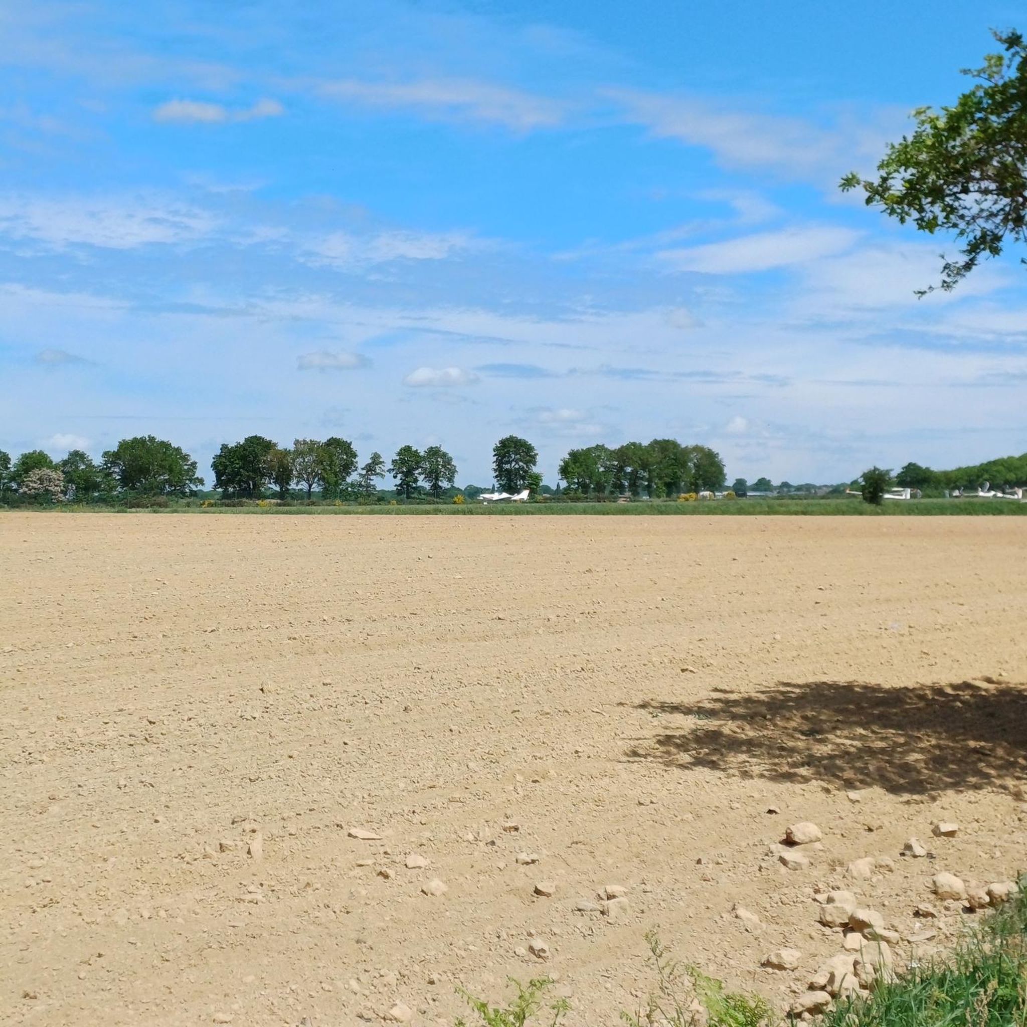
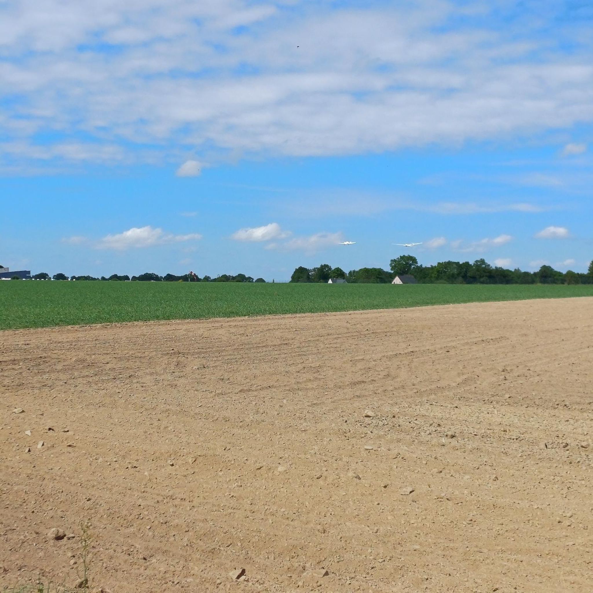
The region is rich in natural beauty, including numerous ponds, lakes, and streams that often provide scenic routes. On some trails, such as the 'Circuit des Landes', you might see modern and historical wind turbines, and even gliders in the sky. The broader Ille-et-Vilaine department is known for its unspoiled natural environment, including moors and undergrowth.
Are there any historical sites or points of interest near the mountain bike routes?
Yes, beyond the trails, you can explore historical sites. The Forges of Moisdon-la-Rivière, located nearby, is a historical site with a pond and a museum detailing its 17th-century industrial past, offering a blend of nature and cultural immersion.
What is the best time of year for mountain biking in Saint-Sulpice-Des-Landes?
The region generally offers good conditions for mountain biking from spring through autumn. Spring and early autumn provide pleasant temperatures and vibrant landscapes. Summers can be warm but are often suitable, while winter might bring wetter conditions, making some paths muddier.
Are there any trails that offer a more challenging experience?
For those seeking a challenge, there are 2 difficult trails in the area. While specific details on these are not provided, routes like the Enduro Terrain – Railway station loop from Bain-de-Bretagne, a moderate 37.2 km path, offer a mix of quiet roads and stony sections that can be quite engaging.
Where can I find more information about cycling routes in the wider Ille-et-Vilaine department?
The Ille-et-Vilaine department is recognized for its extensive cycling network, boasting approximately 3,300 km of developed cycle routes, including greenways. You can find more information about the broader cycling opportunities in the region on the official tourism website: Ille-et-Vilaine Tourism - Main Cycling Routes.
Are there any trails with significant elevation changes?
While the region is not known for mountainous terrain, some trails do offer noticeable elevation changes. For example, the Enduro Terrain – Railway station loop from Bain-de-Bretagne has an elevation gain of approximately 408 meters, providing some climbs and descents.
Most popular routes around Saint-Sulpice-Des-Landes
Most popular attractions around Saint-Sulpice-Des-Landes

Get inspired with the komoot mobile app


Explore more
Browse the best MTB trails in other regions.
