The best running trails around Villeberny
4.0
(6)
126
runners
27
runs
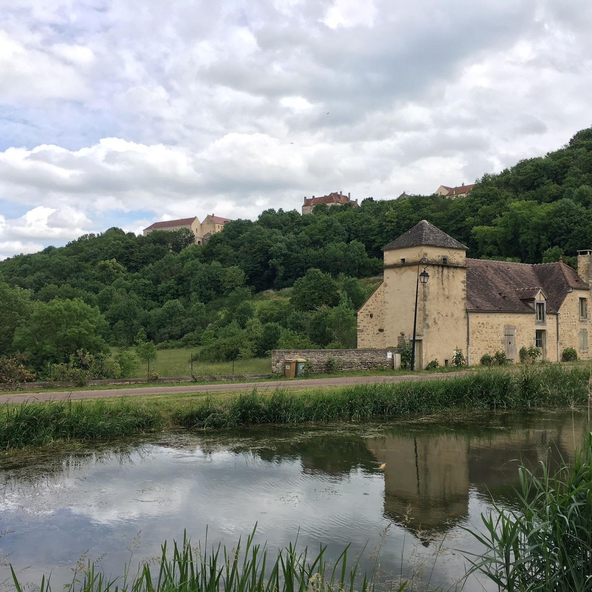
Jogging around Villeberny offers a diverse landscape within the Terres d'Auxois, characterized by rolling countryside and agricultural lands. The region features a mix of forests, providing shaded paths, and varied topography with hills and valleys. Proximity to water features like Lac de Pont and the Canal de Bourgogne also enhances the running experience, offering scenic and often flat routes. This natural environment provides a range of options for different jogging preferences.
Best jogging routes around Villeberny
- The most popular jogging…
Last updated: June 27, 2026
17
runners
9.77km
01:02
100m
100m
Moderate run. Good fitness required. Mostly paved surfaces. Suitable for all skill levels.
14
runners
6.77km
00:42
50m
50m
Moderate run. Good fitness required. Mostly paved surfaces. Suitable for all skill levels.

Sign up for free
17
runners
9.08km
00:57
90m
90m
Moderate run. Good fitness required. Mostly paved surfaces. Suitable for all skill levels.
4
runners
11.4km
01:23
180m
180m
Moderate run. Good fitness required. Mostly paved surfaces. Suitable for all skill levels.
4.0
(1)
4
runners
9.99km
01:10
200m
200m
Moderate run. Good fitness required. Mostly paved surfaces. Suitable for all skill levels.
Get access to more routes and recommendations from other explorers.
Sign up for free
Already have an account?
Our route recommendations are based on thousands of hikes, rides, and runs completed by other people on komoot.
Start today with a free account
Your next adventure awaits.
Login or Signup

Tips from the Community

A bucolic, clean, well-maintained, and shaded spot, with tables and trash cans for picnicking. It's officially a Paris commune, but it looks nothing like Paris.
0
0

There's a signposted and very beautiful circular trail that includes the source of the Seine. Learn more on the official website here: https://www.cotedor-randonnee.com/
1
0

Wikipedia reports: "The source of the Seine is located on the plateau of Langres, 25 km north-west of Dijon in the Côte-d'Or department in the Bourgogne-Franche-Comté region, 470 m above sea level. A special feature is that the sources of the Seine were the property of the city of Paris from 1864 onwards. An artificial grotto was built a year later to protect the main source and a statue of a nymph was erected to symbolize the river. Paris has since returned the property to the region. Near the source are the remains of a Gallo-Roman temple in which a Dea Sequana (Latin goddess of the Seine) was worshipped. The archaeological finds from this are now in the archaeological department of the Musée des Beaux-Arts in Dijon."
2
1

The Seine is a river 777 km long and flows into the English Channel.
4
0

Here we find a clearing with a cave and a sculpture around the source of the Seine. The large lawn near the grotto is ideal for playing Frisbee or having a picnic. Wooden tables are also available.
0
0

This is where one of France's most famous rivers begins. With its meadows and picnic benches, it is a perfect stopover for your race.
2
0

This is where the source of the Seine rises in a stone grotto. Surrounded by a small but very well-kept outdoor area, with hiking trails, benches, statues and information boards.
3
2

Sources de la Seine, the Seine sources, that is a small area in which, because of its importance, the city of Paris has exercised property rights for more than 100 years. The signs can still be seen today, even though the capital city enclave was abandoned a few years ago; the city of Paris returned the site to the region. The place is signposted, but you can only find it if you have the geo-coordinates or if you can use the Google Plus code (FPP8 + CQ Source-Seine, France) to get there using a GPS; the street D103 in F-21690 Source-Seine is certainly not helpful. There is no parking space, by the way, you just stand at the roadside and walk over to the park. As rustic as the grotto, with which the spring is roofed, also comes across, it is artificial and was created in 1865 according to plans by the Parisian architect Haussmann. A marble nymph by the sculptor Jouffroy adorns this spring.
1
0
Frequently Asked Questions
How many jogging routes are available around Villeberny?
There are over 25 dedicated jogging routes around Villeberny listed on komoot. These include a variety of options, with most being moderate in difficulty, and a few easier and more challenging trails to suit different fitness levels.
What kind of terrain can I expect on running trails near Villeberny?
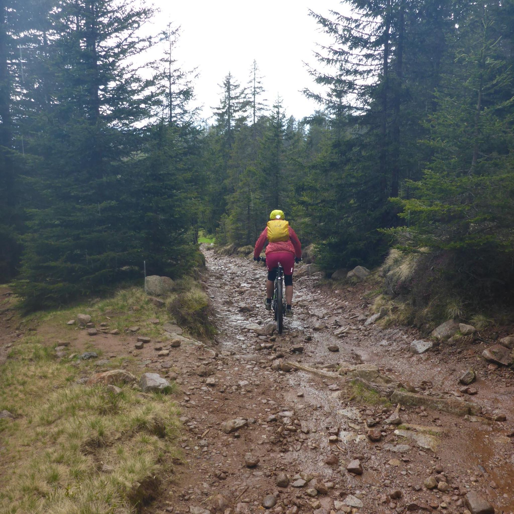
The running trails around Villeberny offer a diverse landscape within the Terres d'Auxois. You'll find a mix of rolling countryside, agricultural lands, and forests, providing both open views and shaded paths. The varied topography includes hills and valleys, offering options from gentle inclines to more challenging routes with greater elevation gain.
Are there many circular running routes in the Villeberny area?
Yes, many of the running routes around Villeberny are designed as loops, allowing you to start and finish in the same location. Examples include the Château de Posanges loop from Vitteaux and the Running loop from Vitteaux, which are popular choices among local runners.
What natural features or landmarks can I see while jogging near Villeberny?
While running near Villeberny, you can encounter several interesting natural features and historical landmarks. The region is known for its picturesque countryside, forests, and waterways. You might pass by the Source of the Seine or explore charming villages like Flavigny-sur-Ozerain, which is about 10 km away and offers a blend of historical sights and natural surroundings.
Are there easy running routes for beginners around Villeberny?
Yes, there are routes suitable for beginners. While most trails are moderate, there is at least one easy route available. The varied terrain also means you can find flatter sections, especially along waterways like the Canal de Bourgogne, which offers steady, scenic paths perfect for an easier run.
Can I find running routes near water features like lakes or canals?
Absolutely! The region around Villeberny is enhanced by its proximity to water features. Lac de Pont, located near Semur-en-Auxois, offers a 12.7 km path that is excellent for jogging. Additionally, the towpaths along the Canal de Bourgogne provide flat, scenic routes ideal for a steady run alongside the water.
What do other runners enjoy most about the trails around Villeberny?
The running routes in Villeberny are highly rated by the komoot community, with an average score of 4.0 stars from 6 reviews. Runners often praise the diverse landscape, which includes rolling countryside, forests, and varied hills, offering a refreshing experience for different ability levels. The scenic beauty and peaceful environment are frequently highlighted.
Are there options for longer distance running around Villeberny?
Yes, if you're looking for longer runs, there are several routes exceeding 9 kilometers. For example, the Source of the Seine loop from Source-Seine is over 11 km, and the Running loop from Thenissey is nearly 10 km, providing ample distance for endurance training or longer explorations.
Is parking readily available near the running routes, or should I consider public transport?
Given the rural nature of Villeberny and the Terres d'Auxois, parking is generally available near trailheads, especially in or around the smaller towns and villages where routes often begin. Public transport options might be limited, so driving to the starting points is often the most convenient way to access the trails.
What's the best time of year for running in Villeberny?
The diverse landscape of Villeberny makes it suitable for running throughout much of the year. Spring and autumn offer pleasant temperatures and beautiful scenery with changing foliage. Summer provides shaded forest paths, while winter runs can be invigorating, though conditions may vary. Always check local weather forecasts before heading out.
Can I bring my dog on the running trails around Villeberny?
While specific regulations for each trail may vary, generally, dogs are welcome on many outdoor trails in rural France, provided they are kept under control, especially around livestock or in protected natural areas. It's always a good idea to keep your dog on a leash and carry waste bags to maintain trail etiquette.
Are there family-friendly running trails suitable for all ages?
Many of the less challenging routes, particularly those with gentler inclines or along the Canal de Bourgogne, can be suitable for families. The varied landscape allows for choosing paths that match different fitness levels, making it possible for families to enjoy running together. Always check the route difficulty and length before setting out with children.
Most popular attractions around Villeberny

Get inspired with the komoot mobile app


Explore more
Browse the best Running Trails & Routes in other regions.
