The best mountain hikes around Rougegoutte
4.9
(7)
11
hikers
2
hikes
Mountaineering routes Rougegoutte are situated at the foot of the southern Vosges Mountains in the Territoire de Belfort region of France. The area is characterized by significant peaks, dense forests, and unique geological formations, providing varied terrain for mountain activities. Prominent features include the rounded summits of the Vosges, known as "Ballons," such as the Ballon d'Alsace (1,247 m) and Ballon de Servance (1,216 m), which offer substantial elevation gain. This setting provides a rich tapestry of notable landscapes and…
Last updated: June 26, 2026
5.0
(3)
4
hikers
10.4km
03:49
640m
640m
Moderate mountaineering route. Good fitness required. Easily-accessible paths. Suitable for all skill levels.
4.5
(2)
3
hikers
Easy mountaineering route. Great for any fitness level. Easily-accessible paths. Suitable for all skill levels.

Sign up for free
5.0
(1)
1
hikers
Moderate mountaineering route. Good fitness required. Easily-accessible paths. Suitable for all skill levels.
Our route recommendations are based on thousands of hikes, rides, and runs completed by other people on komoot.
Start today with a free account
Your next adventure awaits.
Login or Signup
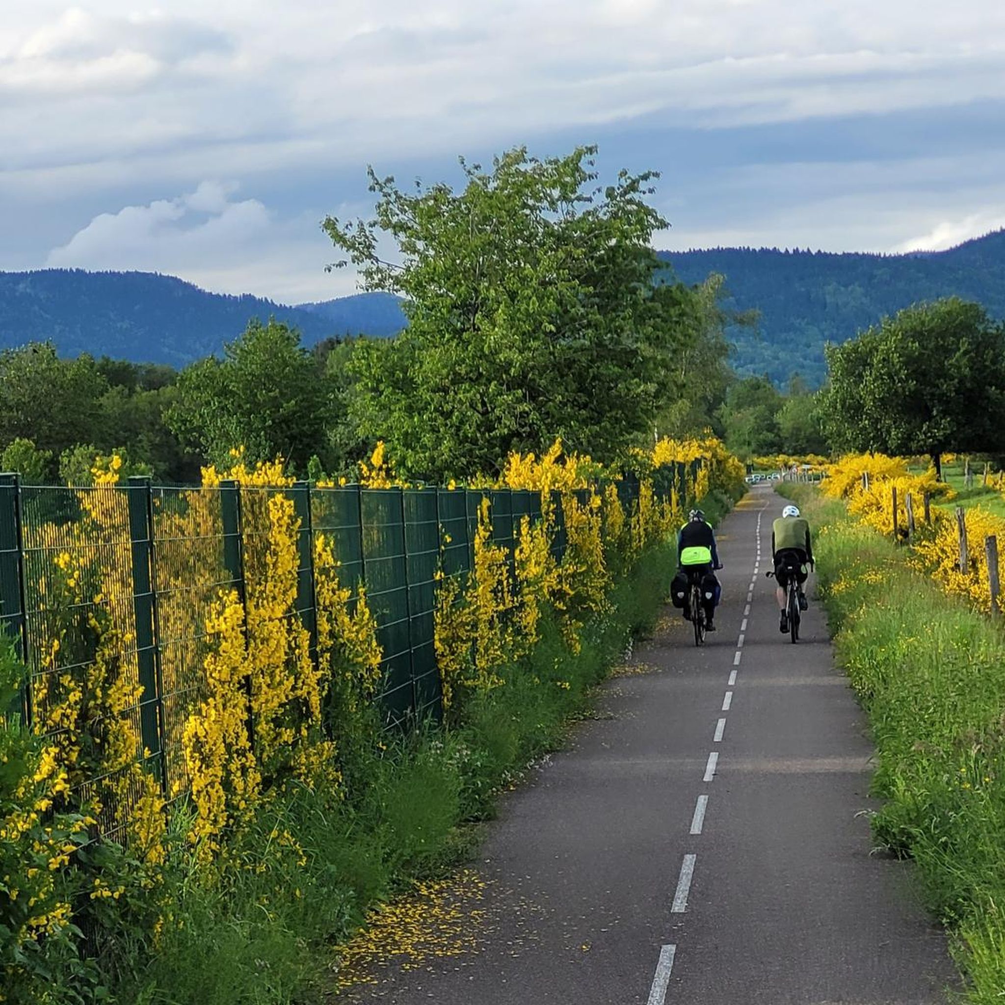
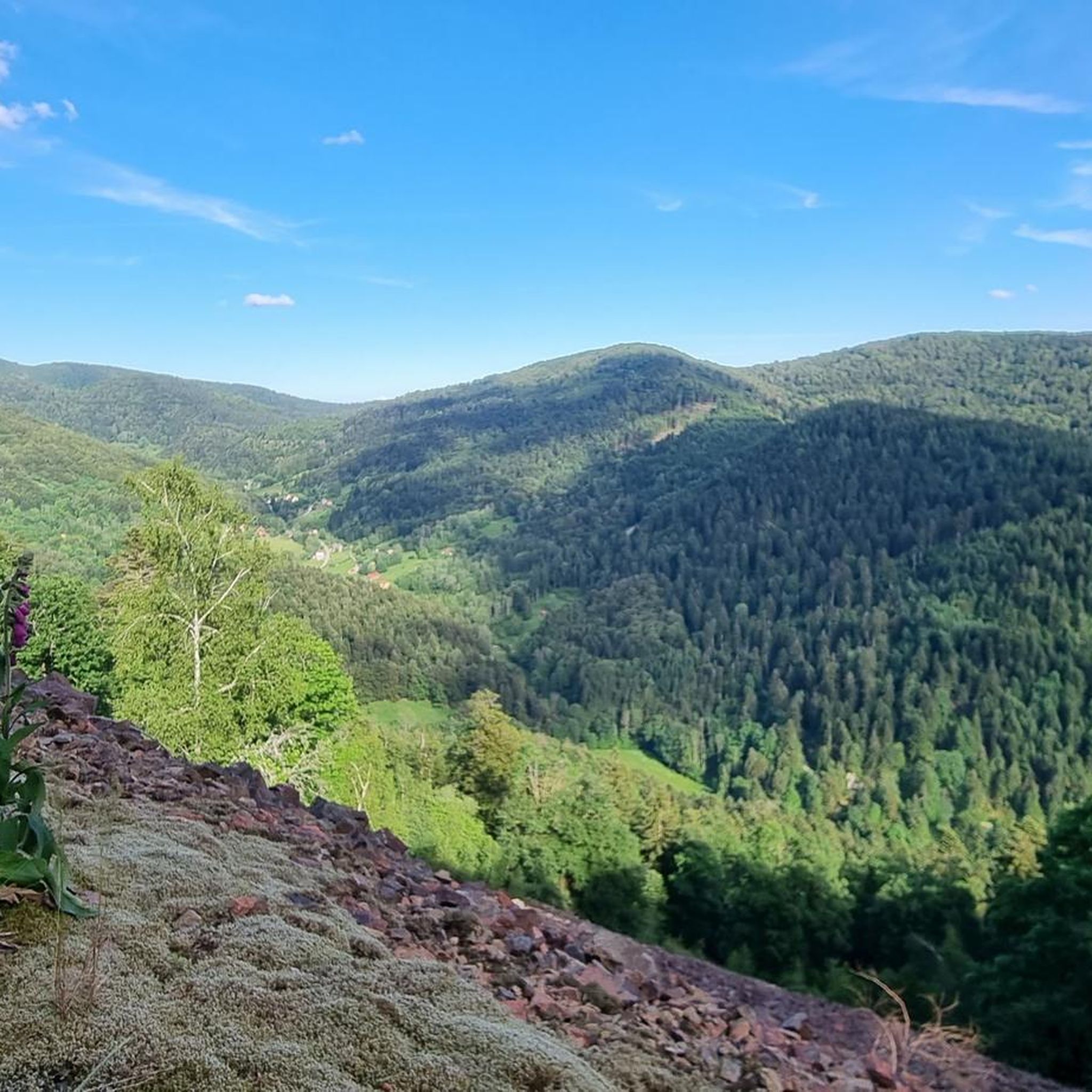
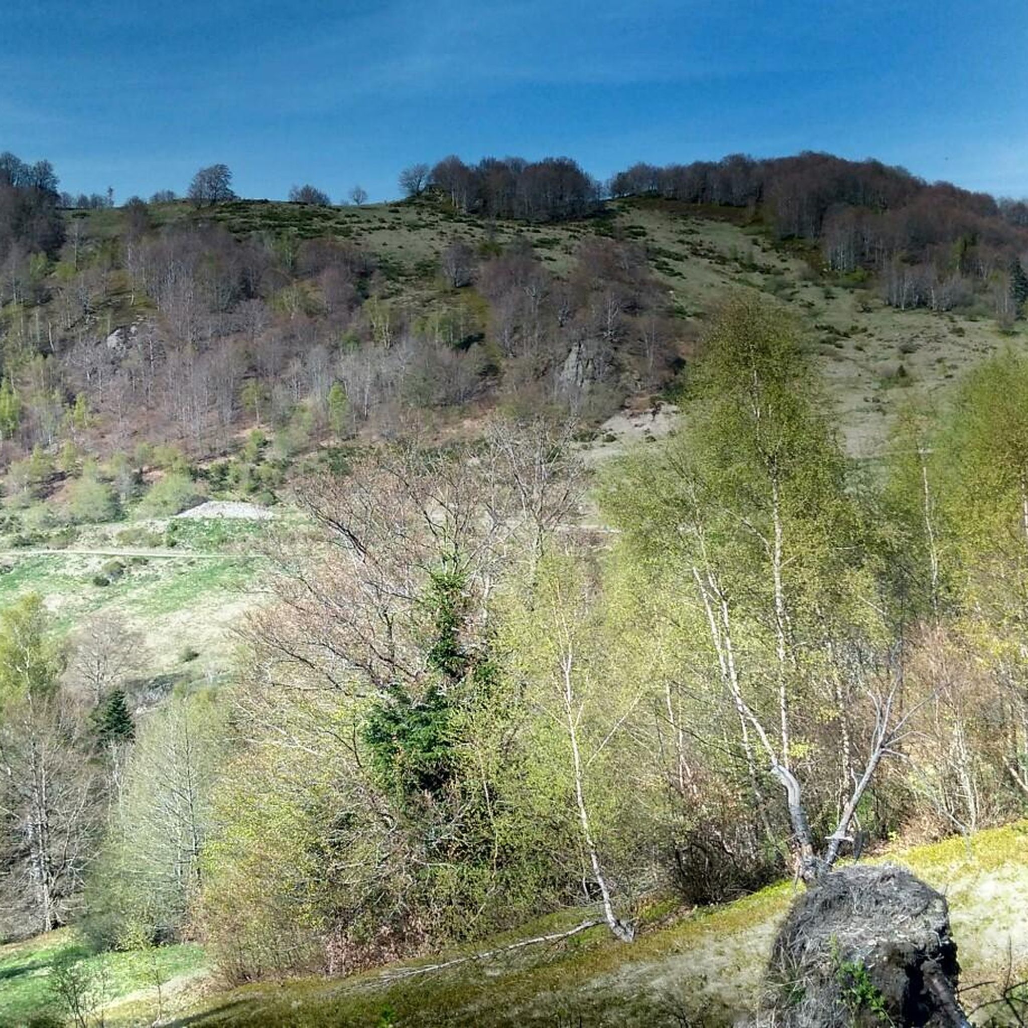
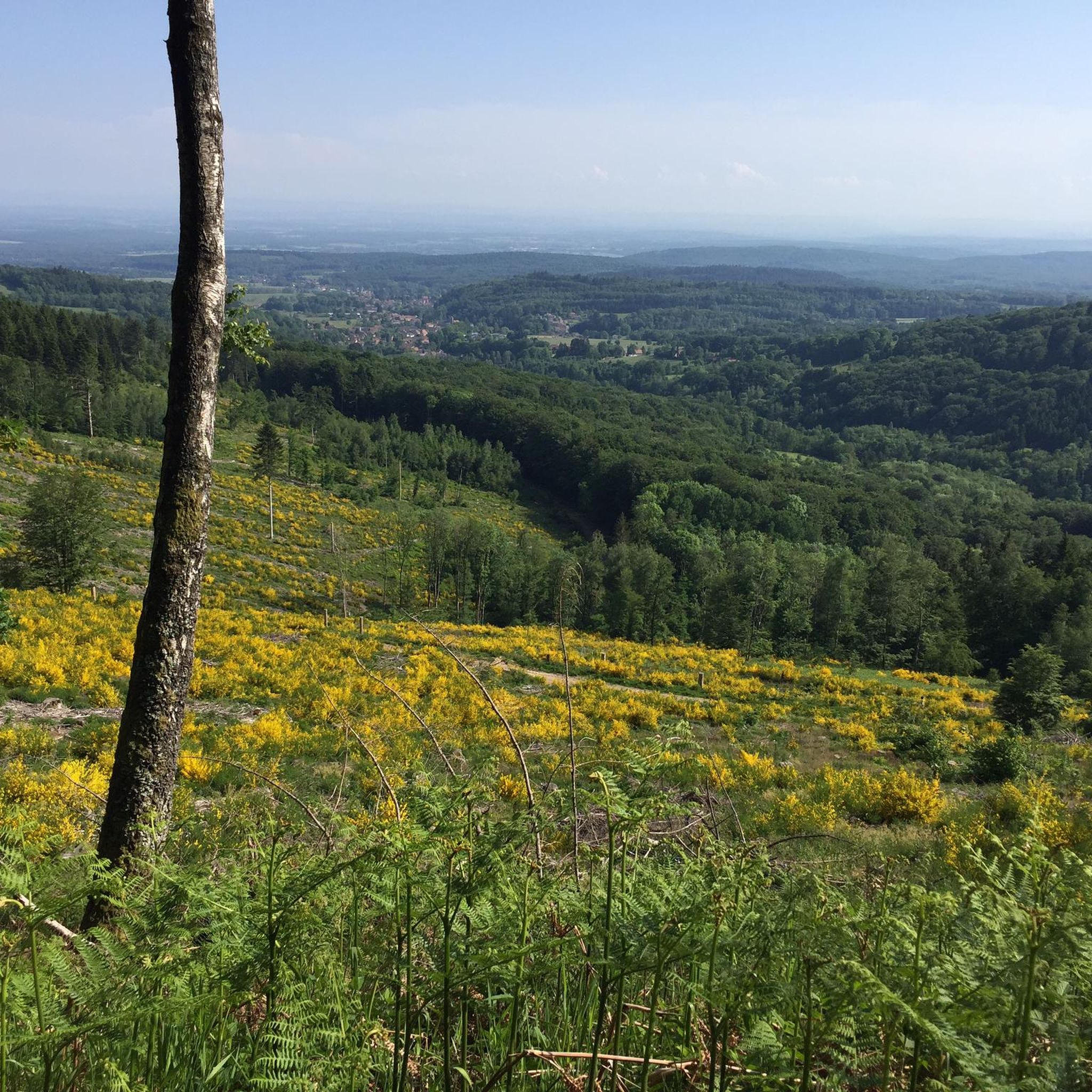
Tips from the Community

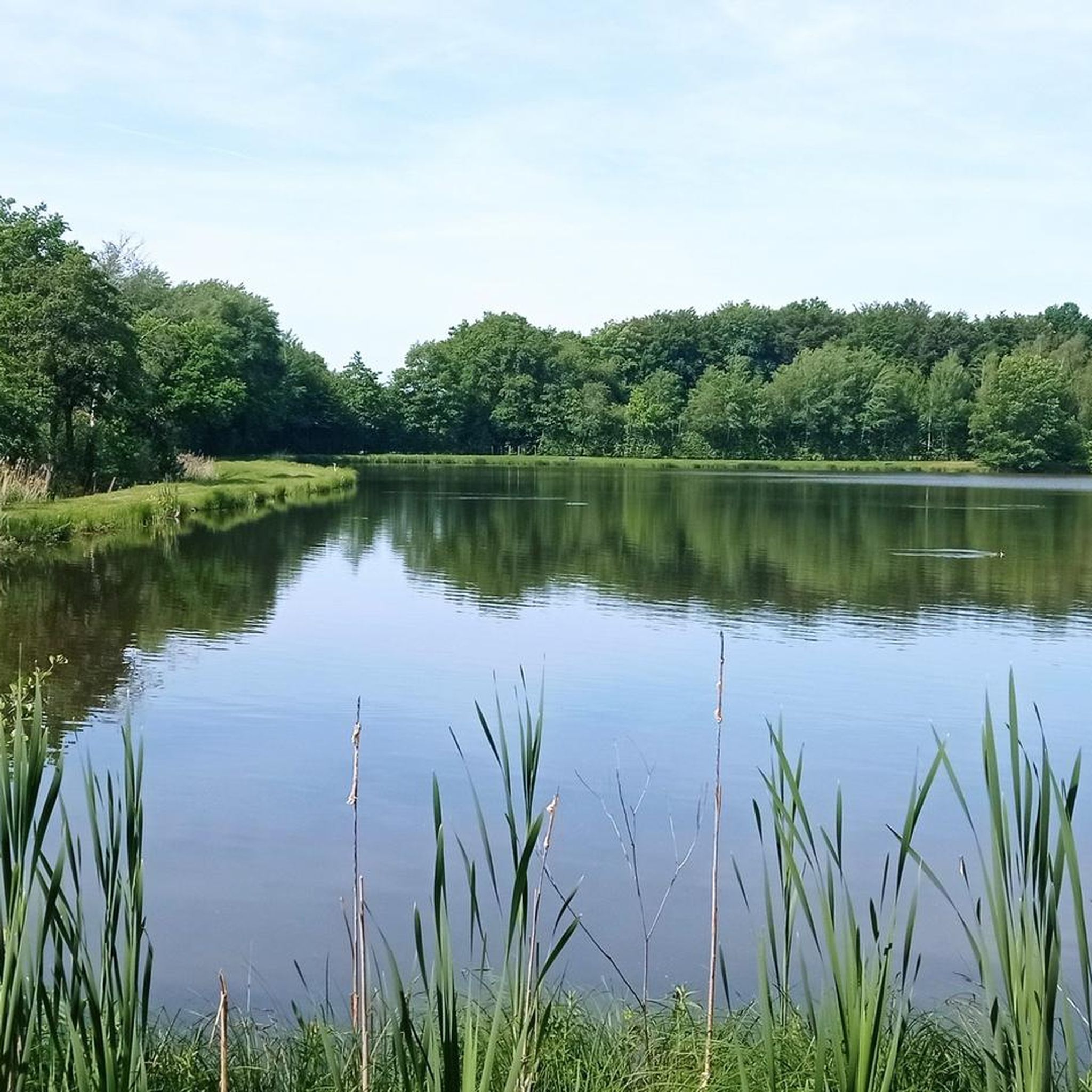
Too bad the dam is currently under construction.
0
0

Hiking from the balloon over the mountain ridge through the High Vosges promises wonderful solitude and panoramic views.
0
0

Comfortable bench with a great view of the mountains.
1
0

Very interesting to see what is true
0
0
Very beautiful nature in the area.
0
0

Magnificent panorama of the Vosges mountain range from the viewpoint on the Ballon d'Alsace.
1
0

It's superb but as always in this kind of place avoid busy times if possible.
0
0

It is a beautiful walk with an incline to the summit, which is worth it just for the view all the way to the Alps - if the weather plays along!
3
1
Frequently Asked Questions
What kind of mountaineering routes can I find around Rougegoutte?
The Rougegoutte area, nestled at the foot of the southern Vosges Mountains, offers a variety of mountaineering routes characterized by significant peaks, dense forests, and unique geological formations. You'll find options ranging from easier loops to more challenging ascents, often leading to panoramic viewpoints like those on the Ballon d'Alsace and Ballon de Servance.
Are there any circular mountaineering routes in the area?
Yes, several routes around Rougegoutte are designed as loops. For instance, you can explore the View of Lake Alfeld loop from Ballon d'Alsace, which is a moderate 10.1 km trail offering scenic views. Another option is the shorter, easier Ballon d'Alsace – Ballon d'Alsace loop from Col du Ballon d'Alsace, which is 2.9 km long.
What are the prominent peaks I can explore on a mountaineering tour near Rougegoutte?
The primary draws for mountaineering in the region are the rounded summits known as 'Ballons.' The most notable are the Ballon d'Alsace (1,247 m) and the Ballon de Servance (1,216 m). These peaks offer substantial elevation gain and, on clear days, panoramic views that can extend to the distant Alps. The Ballon d'Alsace – Col de Ronde Tête loop from Saint-Maurice-sur-Moselle is one route that takes you through this prominent area.
What do other mountaineers say about the routes in Rougegoutte?
The mountaineering routes around Rougegoutte are highly rated by the komoot community, with an average score of 4.9 stars from over 7 reviews. Users often praise the varied terrain, the beautiful forest sections, and the rewarding views from the higher elevations.
Are there any specific landmarks or natural features to look out for along the routes?
Yes, the region is rich in natural beauty and historical significance. Many routes offer views of picturesque lakes like Lake Alfeld. You can also find historical sites such as the Citadel of Belfort and the Fort de Giromagny in the wider area, though these may require a slight detour from the direct mountaineering paths.
Can I find routes suitable for beginners or those looking for an easier mountaineering experience?
While many routes involve significant elevation changes, there are options for varying skill levels. The Ballon d'Alsace – Ballon d'Alsace loop from Col du Ballon d'Alsace is an easier 2.9 km trail, often completed in about 50 minutes, making it a good choice for those seeking a less strenuous experience on the upper slopes of the Ballon d'Alsace.
What is the best time of year for mountaineering in Rougegoutte?
The Vosges Mountains offer diverse experiences throughout the year. While summer and autumn provide ideal conditions for hiking with pleasant temperatures and vibrant foliage, the colder months transform the area for winter mountaineering. During winter, sites like Lac Blanc and Hohneck are known for frozen waterfalls and couloirs suitable for ice climbing, accessible to various skill levels.
Are there any less crowded mountaineering routes around Rougegoutte?
While the Ballon d'Alsace is a popular hub, exploring routes slightly off the main peaks can offer a quieter experience. Consider the Lochberg Pass (920 m) – Ferme Auberge Le Lochberg loop from Source de la Doller for a moderate 6 km tour that takes you through different sections of the Vosges landscape.
Are there opportunities for rock climbing in the Vosges Mountains near Rougegoutte?
Yes, the wider Vosges Mountains are recognized for their rock climbing opportunities, catering to a broad spectrum of abilities. The region features various sites with multi-pitch climbing routes, predominantly on granite and sandstone formations, some extending up to 90-100 meters. These areas often offer an 'alpine atmosphere,' preparing climbers for more challenging Alpine destinations.
Are there any places to eat or drink near the mountaineering routes?
While specific cafes directly on every trail are not guaranteed, the region has traditional mountain inns and 'ferme auberges' (farm inns) that often offer local cuisine. For example, the Lochberg Pass loop passes by a Ferme Auberge Le Lochberg, providing a potential stop for refreshments.
What kind of terrain can I expect on the mountaineering routes?
The terrain around Rougegoutte is varied, featuring dense beech forests, open mountain slopes, and unique geological formations. You can expect significant elevation changes as you ascend the 'Ballons,' with paths that can be rocky, root-filled, or well-trodden forest trails. The routes offer a mix of challenging climbs and scenic traverses.
Most popular routes around Rougegoutte
Most popular attractions around Rougegoutte

Get inspired with the komoot mobile app


Explore more
Browse the best Mountain Hikes & Routes in other regions.
