The best walks and hikes around Gazzuolo
4.3
(3)
64
hikers
18
hikes
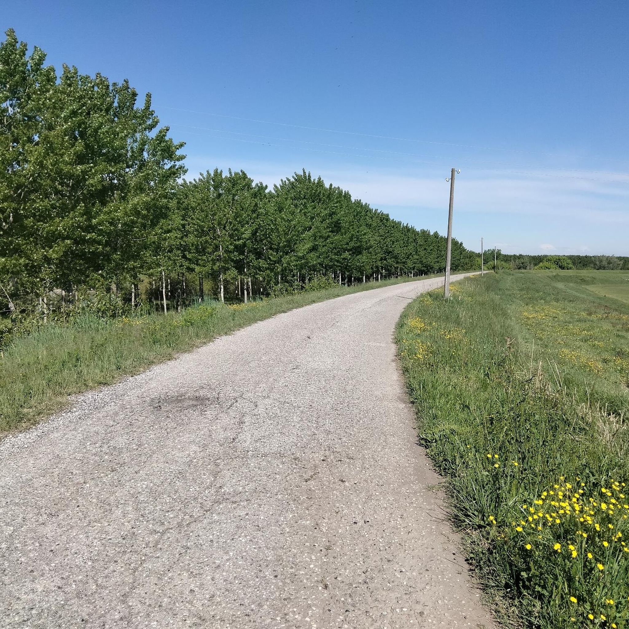
Hiking around Gazzuolo offers exploration of the flat, riverine landscape of the Lombardy region in Italy. The area is characterized by its location on the Oglio River and its inclusion in the Oglio Sud Park, featuring wetland environments and diverse flora. Trails often follow the riverbanks and cross agricultural plains, with minimal elevation changes. This region provides opportunities for walks through natural areas and historical towns.
Best hiking trails around Gazzuolo
- The most popular hiking route is Castello di Romprezzagno…
Last updated: May 24, 2026
9
hikers
5.62km
01:25
10m
10m
Easy hike. Great for any fitness level. Easily-accessible paths. Suitable for all skill levels.
5.0
(1)
11
hikers
Easy hike. Great for any fitness level. Easily-accessible paths. Suitable for all skill levels.

Sign up for free
6
hikers
Moderate hike. Good fitness required. Easily-accessible paths. Suitable for all skill levels.
2
hikers
13.7km
03:28
20m
20m
Moderate hike. Good fitness required. Easily-accessible paths. Suitable for all skill levels.
5.0
(1)
7
hikers
5.78km
01:28
10m
10m
Easy hike. Great for any fitness level. Easily-accessible paths. Suitable for all skill levels.
Get access to more routes and recommendations from other explorers.
Sign up for free
Already have an account?
Our route recommendations are based on thousands of hikes, rides, and runs completed by other people on komoot.
Start today with a free account
Your next adventure awaits.
Login or Signup

Other adventures around Gazzuolo

Tips from the Community

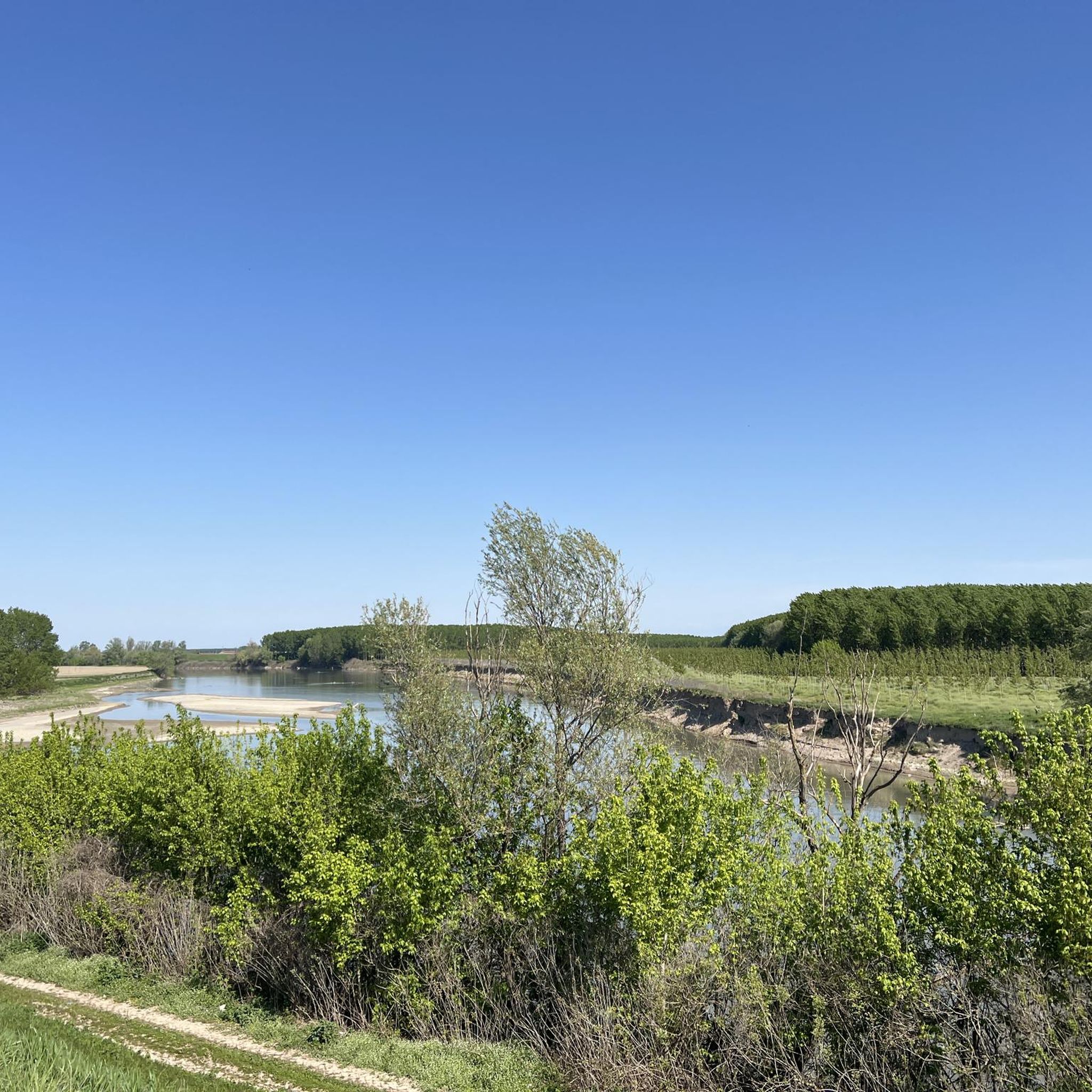
Excellent view of the Po River
0
0

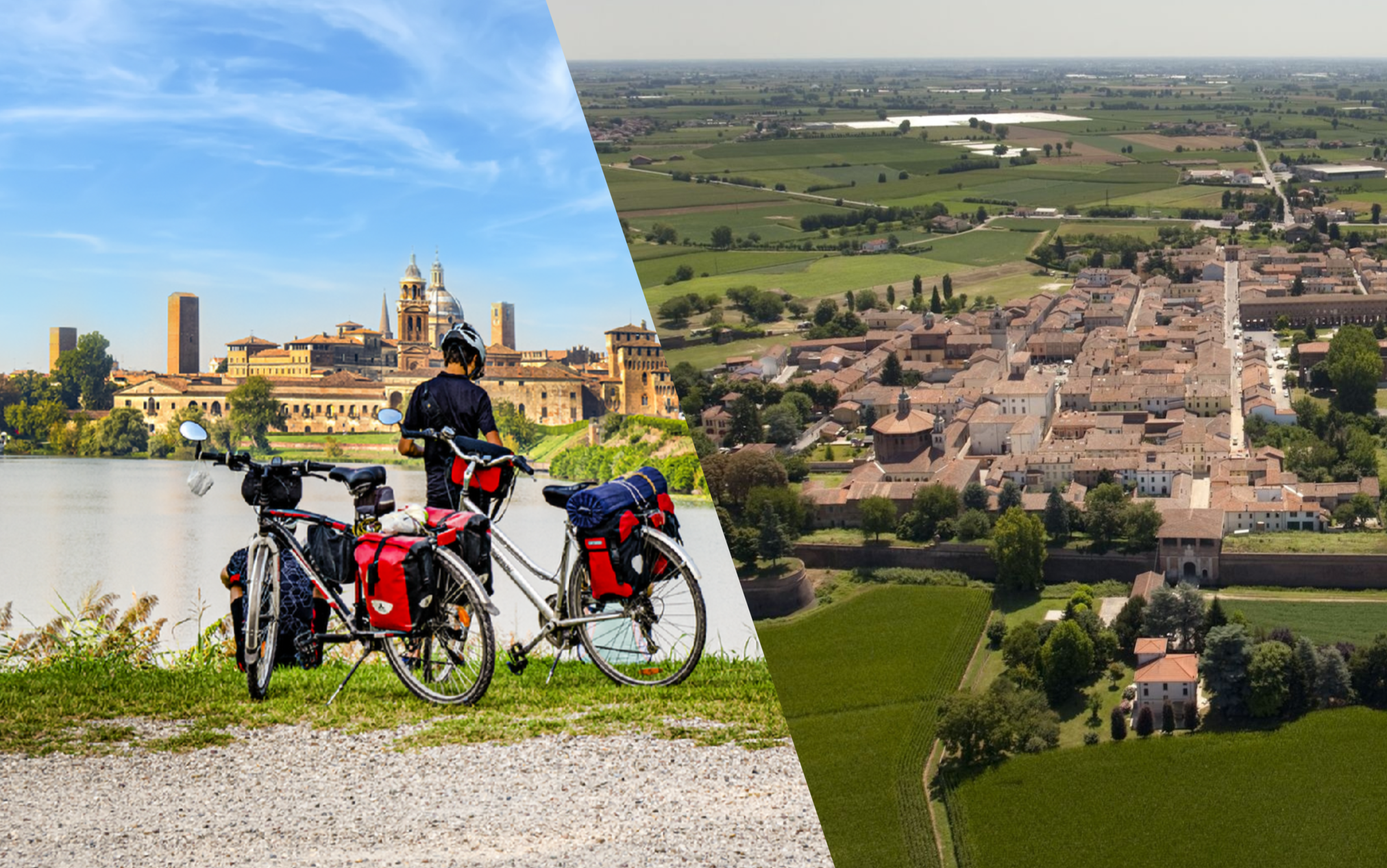
Pedaling through the streets of Sabbioneta is like pedaling in a Renaissance painting. It is no coincidence that this small and perfect Lombard city was declared a UNESCO World Heritage Site in 2008. A jewel of Italian architectural history that is worth visiting.
1
0

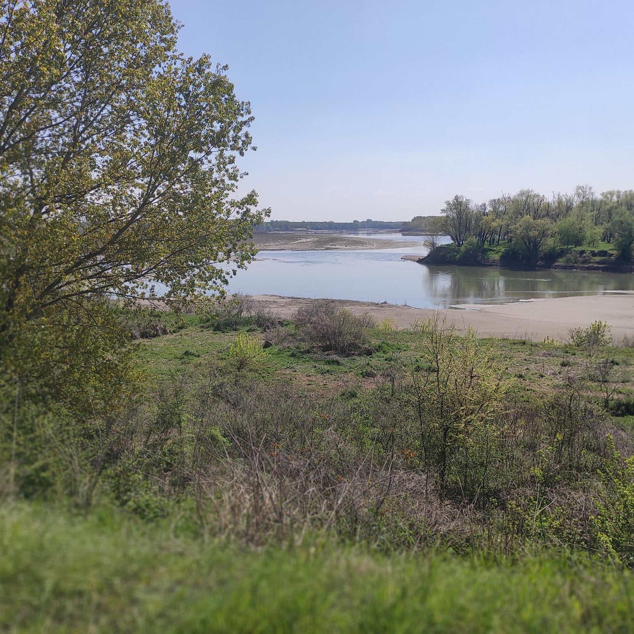
The Oglio river is an important tributary of the Po that flows down from Val Camonica
0
0

now the bridge is closed for works
2
0

Very particular point of interest with a wooden bridge that floats thanks to boats. Watch out for floods in the river, sometimes it is closed for safety!
2
0

small but very characteristic to see, it should be visited at least once
1
0
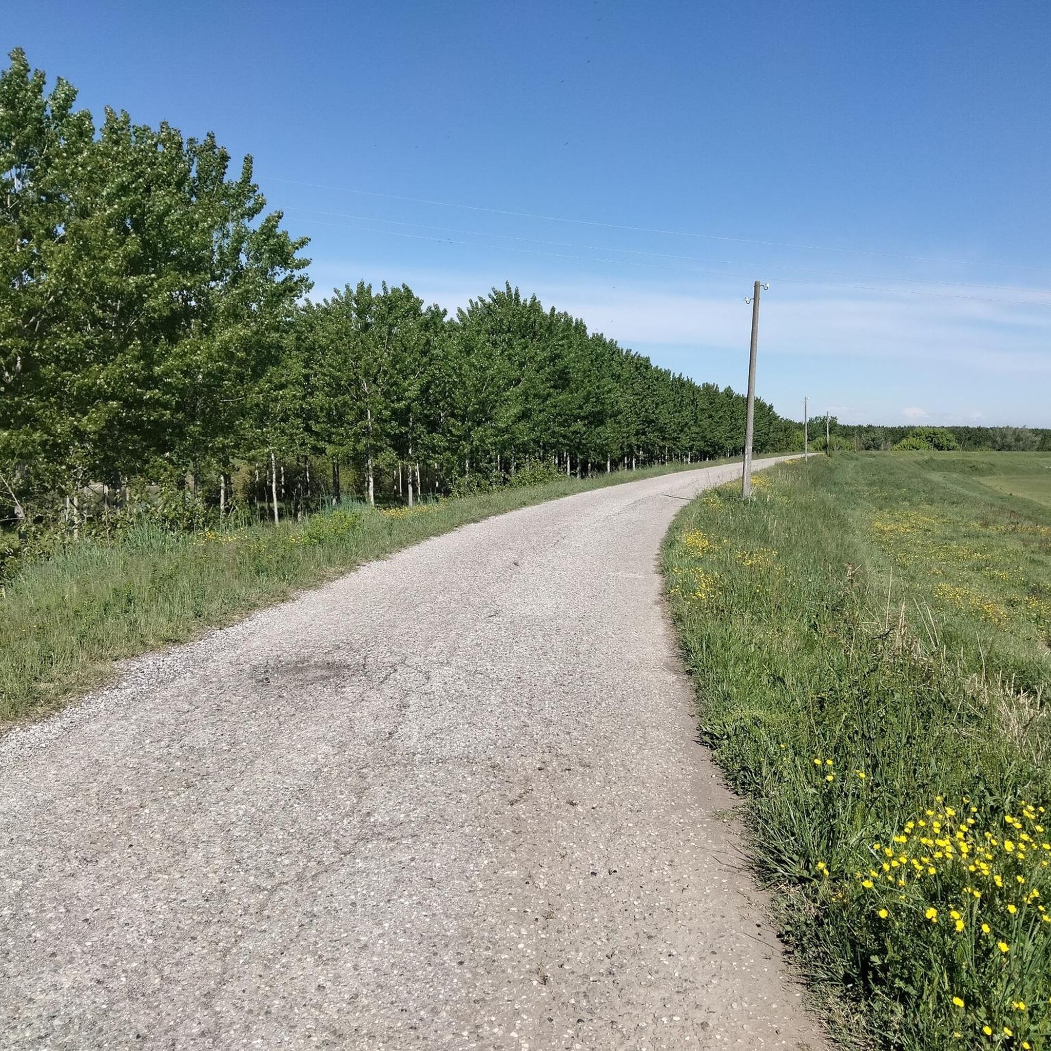
Starting from Borgoforte on the cycle path of the main bank of the Po, you will find the town of Scorzarolo shortly after
2
0

Inserted together with Mantua in the list of UNESCO world heritage sites since 2008, Sabbioneta was built in about thirty-five years by order of Prince Vespasiano Gonzaga. The city is a perfect example of the application of Renaissance theories in the field of urban planning and the design of an ideal city: buildings of historical and artistic interest still bear witness to this today, as do the sumptuous examples of figurative art in Renaissance style which they bear the signature of important authors from the Lombardy and Emilian areas and from the Venetian school.
2
0
Frequently Asked Questions
What kind of hiking trails can I expect around Gazzuolo?
The trails around Gazzuolo are primarily characterized by the flat, riverine landscape of the Mantuan plain. You'll find routes that follow the banks of the Oglio River, traverse agricultural fields, and explore historical towns. The region is part of the Oglio Sud Park, offering wetland environments and diverse flora. Expect minimal elevation changes, making most hikes relatively gentle.
Are there any easy hikes suitable for beginners or a relaxed stroll?
Yes, Gazzuolo offers several easy routes perfect for beginners or those seeking a relaxed walk. A great option is the Castello di Romprezzagno loop from Bozzolo, which is an easy 6 km (3.7 miles) trail. Another pleasant choice is the Hiking loop from Scorzarolo, an easy 6.8 km (4.2 miles) route.
Can I find any historical or cultural walks in the area?
Absolutely. The region is rich in history. You can explore the UNESCO World Heritage site of Sabbioneta with the The Walls of Sabbioneta – Sabbioneta (UNESCO World Heritage Site) loop from Sabbioneta. This moderate 10.4 km (6.5 miles) path offers a historical walking experience around the well-preserved 16th-century city walls. Another option is the Porta San Martino of Bozzolo – Tomb of Don Primo Mazzolari loop from Bozzolo, a moderate 10.3 km (6.4 miles) route that takes you through historical points in Bozzolo.
What are some notable landmarks or attractions to see along the trails?
While hiking around Gazzuolo, you can encounter several interesting landmarks. The Pontoon bridge on the River Oglio is a distinctive feature, known for its unique construction. The Sabbioneta (UNESCO World Heritage Site) offers sumptuous palaces and harmonic alleys. You might also find the San Matteo delle Chiaviche Pumping Station, a massive drainage system with an interpretation center, to be an interesting stop.
Are there any trails that follow the Oglio River?
Yes, the Oglio River is a central natural feature of the region, and many trails utilize its banks. The Oglio River and its banks loop from Cesole is a popular moderate 13.6 km (8.5 miles) trail that leads directly through the Oglio Sud Park, offering scenic views of the river and its ecosystems.
What is the best time of year to go hiking in Gazzuolo?
The Mantuan plain's flat terrain makes it suitable for hiking for much of the year. Spring and autumn offer pleasant temperatures and beautiful scenery, with blooming flora or vibrant fall colors. Summer can be warm, but riverside trails provide some relief. Winter hikes are also possible, offering a different, serene perspective of the agricultural landscapes and river.
Are the hiking trails around Gazzuolo suitable for families with children?
Given the generally flat and easy to moderate terrain, many of the trails around Gazzuolo are well-suited for families. Routes like the Castello di Romprezzagno loop from Bozzolo are particularly good for a leisurely family outing, allowing children to enjoy the outdoors without strenuous climbs.
What is the general difficulty level of hikes in this region?
The hiking trails around Gazzuolo are predominantly easy to moderate. The flat nature of the Mantuan plain means there are minimal elevation changes, making most routes accessible. There are no difficult-rated trails in the immediate Gazzuolo area, ensuring a comfortable experience for most hikers.
Is public transport available to reach hiking trailheads in Gazzuolo?
While Gazzuolo is a smaller town, public transport options exist to connect it with larger hubs like Mantua. For specific trailheads, it's advisable to check local bus schedules or consider driving, as direct public transport to every starting point might be limited. Parking is generally available in and around the towns where trails begin.
What do other hikers say about the trails in Gazzuolo?
The hiking experience in Gazzuolo is highly rated by the komoot community, with an average score of 5.0 stars. Hikers often praise the tranquil rural charm, the unique blend of natural riverside beauty, and the historical points of interest. The flat, accessible terrain is frequently highlighted as a positive, making it enjoyable for various fitness levels.
Are there any challenging hikes for experienced hikers?
The Gazzuolo region, being part of the flat Mantuan plain, does not offer trails with significant elevation gain or technical difficulty that would be considered 'challenging' in the traditional sense. The focus here is more on leisurely exploration, historical walks, and enjoying the serene riverine and agricultural landscapes rather than strenuous mountain trekking.
Most popular attractions around Gazzuolo

Get inspired with the komoot mobile app


Explore more
Browse the best Hikes in other regions.
