The best walks and hikes around Villamaina
4.8
(13)
19
hikers
4
hikes
Hiking around Villamaina offers exploration of a small town situated at 560 meters above sea level in the Calore Valley of Upper Irpinia, Italy. The region is characterized by its unspoiled natural setting, thick woods, and surrounding hills. Hikers can discover diverse ecosystems along the Fredane River and Conche Stream, with routes traversing varied terrain and offering views of the Ansanto Valley.
Best hiking trails around Villamaina
- The most popular hiking route is Monte Tuoro loop from Castelvetere sul Calore…
Last updated: May 23, 2026
4.5
(2)
7
hikers
13.3km
04:21
630m
630m
Moderate hike. Good fitness required. Easily-accessible paths. Suitable for all skill levels.
5.0
(11)
8
hikers
7.18km
02:02
160m
160m
Moderate hike. Good fitness required. Easily-accessible paths. Suitable for all skill levels.

Sign up for free
4
hikers
9.57km
02:48
260m
260m
Moderate hike. Good fitness required. Easily-accessible paths. Suitable for all skill levels.
5.0
(1)
1
hikers
6.64km
02:05
250m
250m
Moderate hike. Good fitness required. Easily-accessible paths. Suitable for all skill levels.
Our route recommendations are based on thousands of hikes, rides, and runs completed by other people on komoot.
Start today with a free account
Your next adventure awaits.
Login or Signup

Tips from the Community

Frequently Asked Questions
What is the general difficulty level of hiking trails around Villamaina?
The hiking trails around Villamaina are primarily rated as moderate. All four routes listed in this guide fall into this category, offering a good balance of challenge and accessibility for most hikers. You can expect varied terrain, including ascents and descents through woodlands and hills.
What kind of natural landscapes will I encounter on hikes in Villamaina?
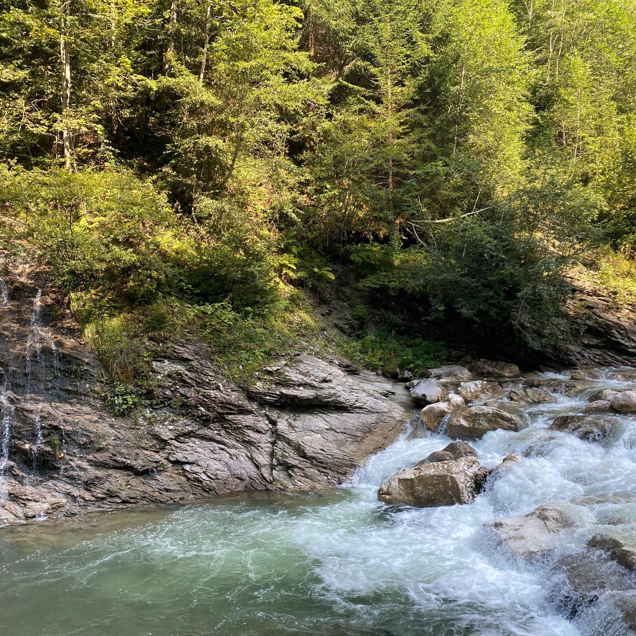
Villamaina is characterized by its unspoiled natural setting, thick woods, and surrounding hills. You'll hike through lush landscapes, including the diverse ecosystem of the Rocca Woods with its oaks, elms, and poplars. Routes often traverse areas near the Fredane River and Conche Stream, offering picturesque views and a sense of tranquility.
Are there any circular hiking routes available in Villamaina?
Yes, all the routes highlighted in this guide are circular. For example, you can explore the Monte Tuoro loop from Castelvetere sul Calore, the La taverna rossa loop from Sturno, or the Masseria Di Chiara – La taverna rossa loop from Frigento, all designed to bring you back to your starting point.
What are some notable natural features or landmarks to look out for on the trails?
Hikers can discover several interesting features. The region is known for its thick woods, including the Rocca Woods (Bosco della Rocca). You might also encounter the Fredane River and Conche Stream, which crisscross the territory. The ancient Formulano Spring is another point of interest nestled among the trees. Additionally, the area offers views into the Ansanto Valley, home to the unique Mefite locality.
What do other hikers say about the trails in Villamaina?
The hiking routes in Villamaina are highly regarded by the komoot community, holding an average rating of 4.7 stars from over 10 reviews. Hikers often praise the region's unspoiled nature, the tranquility of the woodlands, and the varied terrain that makes for engaging walks.
What is the best season for hiking in Villamaina?
Given Villamaina's lush landscapes and woodlands, spring and autumn are generally ideal for hiking. The temperatures are milder, and the natural scenery is particularly vibrant with spring blooms or autumn colors. Summer can also be pleasant, especially in the shaded wooded areas, but it's advisable to start early to avoid the midday heat.
Are there any family-friendly hiking options in Villamaina?
While all routes are moderate, some are shorter and have less elevation gain, making them more suitable for families with older children or those looking for a less strenuous outing. The La taverna rossa loop from Sturno, at 7.2 km, offers a manageable distance through characteristic woodlands and rolling hills.
What are some nearby attractions or points of interest I can visit after a hike?
Beyond the trails, the region offers several cultural and historical sites. You could visit the historic Historic Village of Castelvetere sul Calore, explore the Abbey of Goleto, or see the Ponte Principe. The Calore River Between Lapio and Taurasi also offers scenic views.
How long do the hiking routes typically take to complete?
The duration varies depending on the route and your pace. For example, the Monte Tuoro loop from Castelvetere sul Calore is estimated to take about 4 hours 25 minutes. Shorter routes like the Masseria Di Chiara – La taverna rossa loop from Frigento can be completed in around 2 hours 45 minutes.
Are there any specific routes that offer expansive views of the surrounding area?
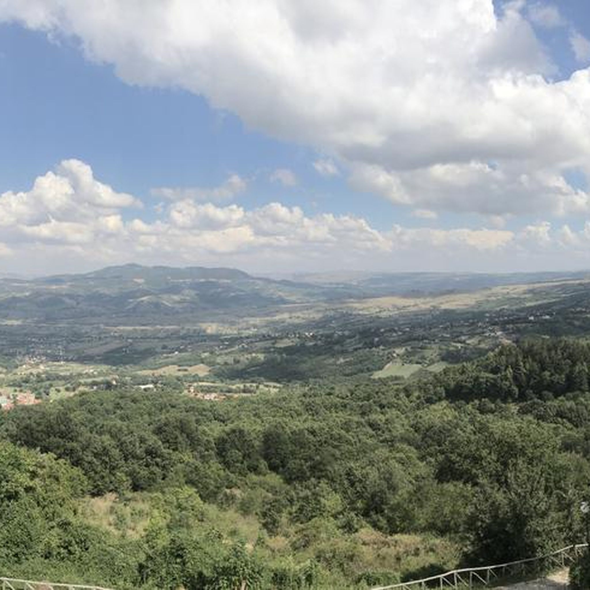
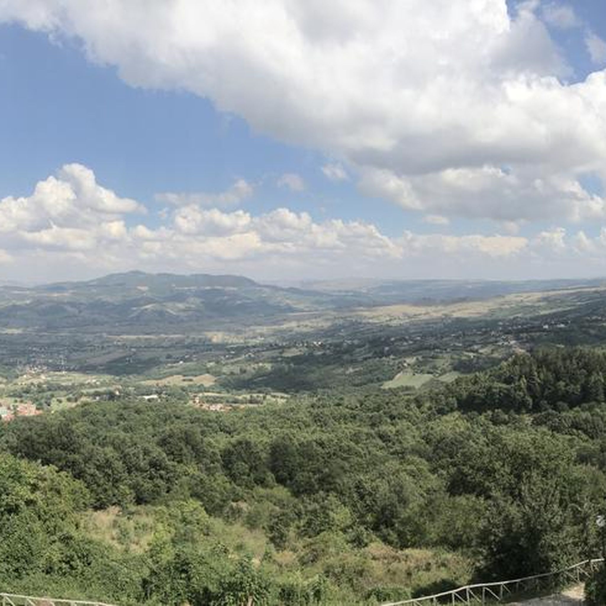
Many routes in Villamaina traverse hilly terrain, offering views extending into neighboring areas and towards Mount Cerasito. The region's location in the Calore Valley means you'll often find vistas across green valleys and secular woods, particularly on trails with higher elevation gains like the Monte Tuoro loop.
What is the elevation gain like on the trails around Villamaina?
The elevation gain varies by route. For instance, the Monte Tuoro loop from Castelvetere sul Calore involves a significant ascent of over 630 meters. Other routes, like the La taverna rossa loop from Sturno, have more moderate gains of around 158 meters, making them less demanding.
Most popular attractions around Villamaina

Get inspired with the komoot mobile app


Explore more
Browse the best Hikes in other regions.
