The best walks and hikes around San Mango D'Aquino
4.1
(21)
56
hikers
7
hikes
Hiking around San Mango D'Aquino offers access to diverse landscapes characterized by mountainous terrain and forested hills. The region features trails that ascend to elevated points like Monte Reventino and Monte Mancuso, providing views of the surrounding area. Paths often wind through woodlands and connect to local refuges. The varied topography supports a range of hiking experiences.
Best hiking trails around San Mango D'Aquino
- The most popular hiking route is Monte Reventino Loop, a 6.7 miles (10.9 km) trail…
Last updated: May 22, 2026
3.8
(6)
10
hikers
10.9km
03:21
390m
390m
Moderate hike. Good fitness required. Easily-accessible paths. Suitable for all skill levels.
4.3
(3)
7
hikers
15.2km
04:47
600m
600m
Moderate hike. Good fitness required. Easily-accessible paths. Suitable for all skill levels.

Sign up for free
4.0
(5)
9
hikers
11.0km
03:23
410m
410m
Moderate hike. Good fitness required. Easily-accessible paths. Suitable for all skill levels.
9
hikers
10.9km
02:50
60m
60m
Moderate hike. Good fitness required. Easily-accessible paths. Suitable for all skill levels.
4.0
(2)
6
hikers
10.4km
03:08
350m
350m
Moderate hike. Good fitness required. Easily-accessible paths. Suitable for all skill levels.
Get access to more routes and recommendations from other explorers.
Sign up for free
Already have an account?
Our route recommendations are based on thousands of hikes, rides, and runs completed by other people on komoot.
Start today with a free account
Your next adventure awaits.
Login or Signup
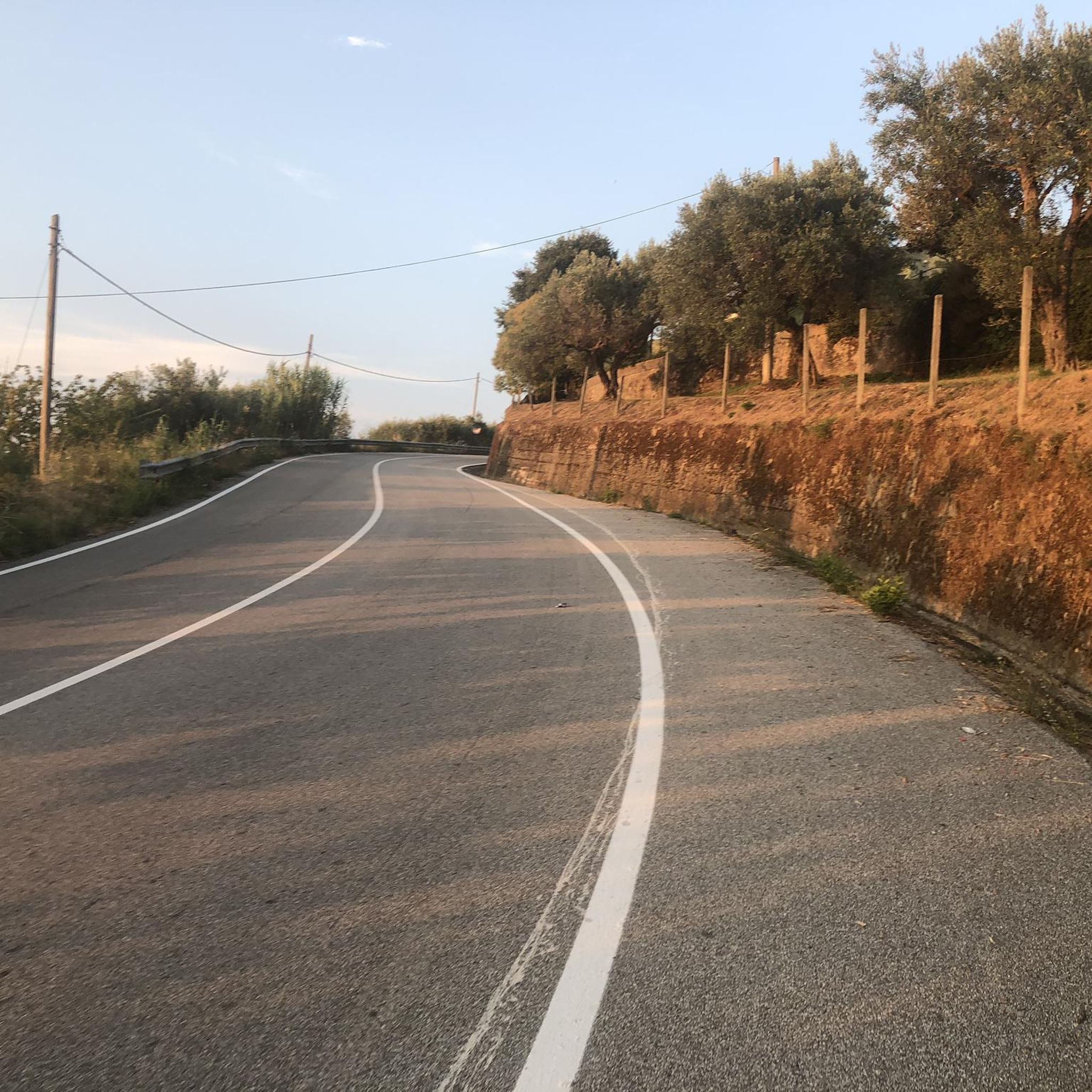
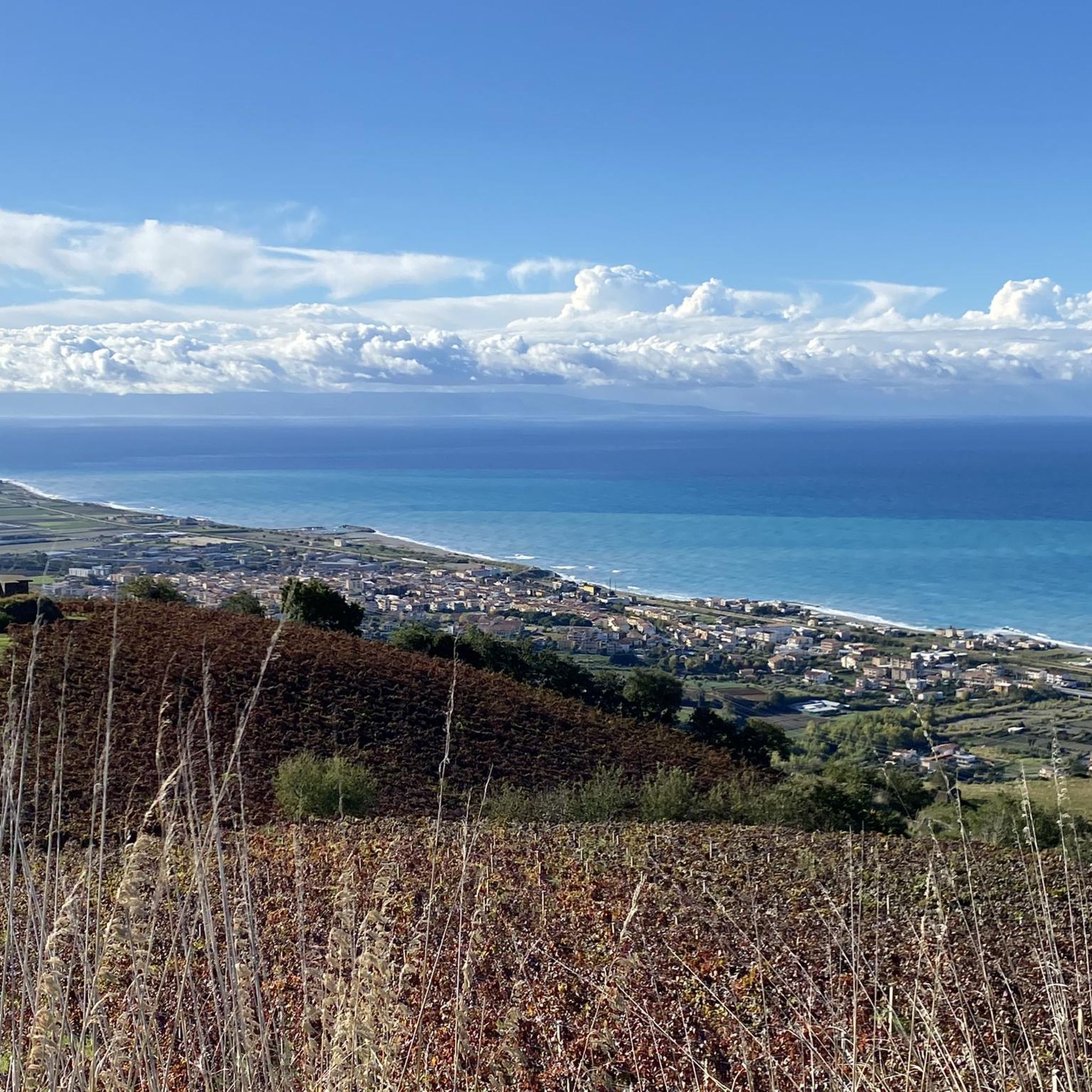
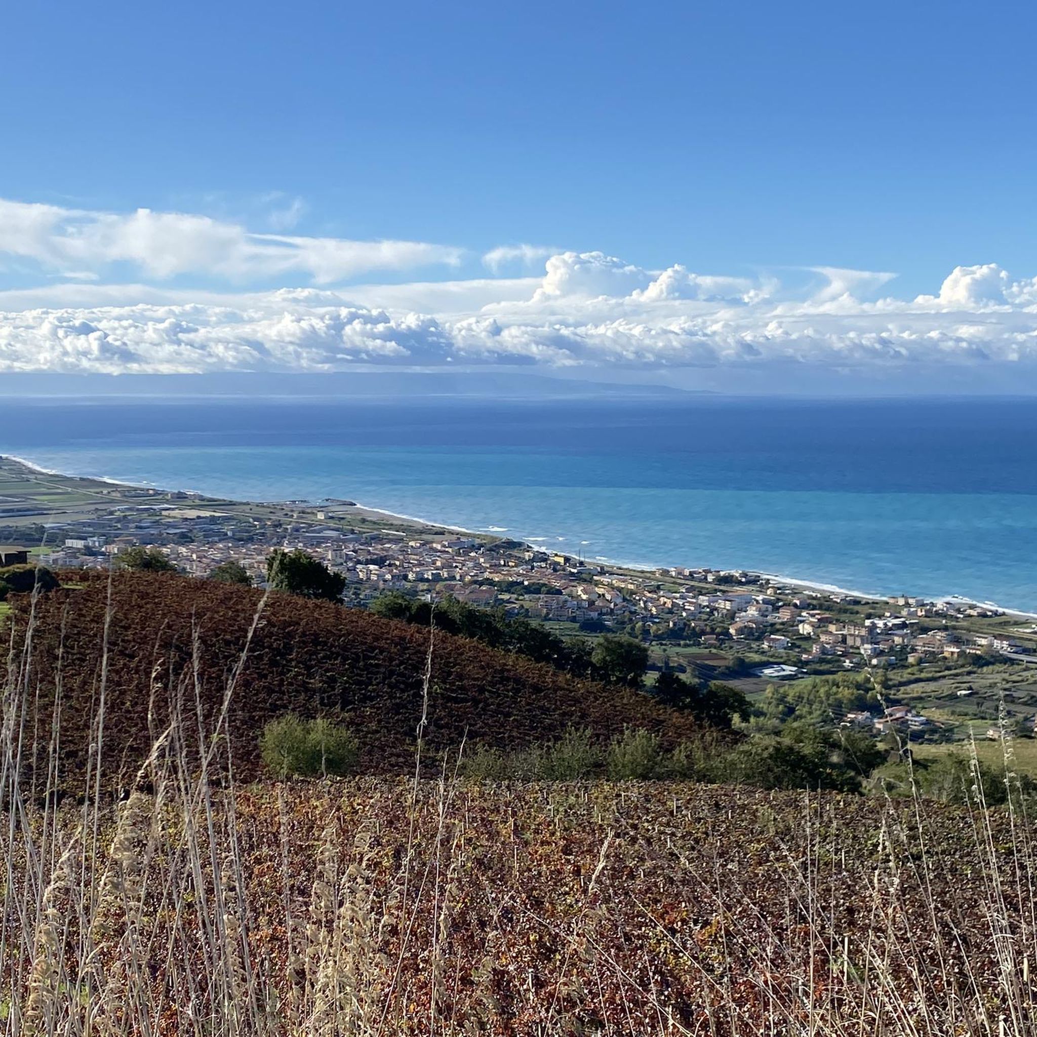

Tips from the Community


Immersed in nature and the silence of the woods
0
0

A beautiful stretch of seafront between Amantea and the hamlet of Campora San Giovanni. Not only does it avoid the SS18, but it also offers a splendid view of the magnificent Tyrrhenian Sea along the entire route.
1
0
Amantea is a picturesque town located on the Tyrrhenian coast of Calabria. Famous for its splendid beaches, the historic center rich in history and the fortress that dominates the city from above. In addition to natural and architectural beauty, Amantea offers a wide range of local culinary specialties
2
0

The Reventino massif is located at 1417m and is part of the Calabrian Apennines. To the north is the Savuto Valley.
2
1
Near this part of the path, protected by some trees, is the Falerna refuge. The refuge itself is located at an altitude of 1074 meters.
2
0

Small, slightly shabby refuge from which you can enjoy a beautiful view and enjoy a well-deserved rest in silence.
0
0
Frequently Asked Questions
How many hiking trails are there in San Mango D'Aquino?
There are 6 hiking trails around San Mango D'Aquino, offering a variety of experiences through mountainous terrain and forested hills.
What is the typical difficulty of hikes in San Mango D'Aquino?
All the listed hikes in San Mango D'Aquino are rated as moderate. They feature varied terrain with ascents and descents, suitable for hikers with some experience.
Are there any circular hikes available?
Yes, many of the trails are circular. For example, the Monte Reventino Loop and the Monte Mancuso Ring Trail are both popular circular routes that allow you to start and end in the same location.
What kind of views can I expect on the trails?
The trails often ascend to elevated points like Monte Reventino and Monte Mancuso, providing expansive views of the surrounding mountainous landscape and forested areas. You'll experience diverse topography throughout your hike.
How long do hikes typically take in this region?
Hikes in San Mango D'Aquino vary in length and duration. For instance, the Monte Reventino Loop typically takes around 3 hours 21 minutes, while the longer Monte Mancuso Ring Trail can take approximately 4 hours 46 minutes.
What do other hikers say about the trails in San Mango D'Aquino?
The area is highly rated by the komoot community, with an average score of 3.9 stars from over 10 reviews. Hikers often praise the varied terrain, the connection to nature through woodlands, and the rewarding views from elevated points.
Are there any interesting landmarks or attractions near the hiking trails?
Yes, the region offers several points of interest. You can explore the Angevin Castle of Savuto, or visit Parco Bombarda. The Tyrrhenian Coastal Road and the seafront areas of Amantea and Campora San Giovanni are also nearby.
Are there any trails that lead to mountain refuges?
Yes, the Road to Rifugio Falerna loop from Falerna is a trail that leads through forested areas towards a mountain refuge, offering a destination point for a break or refreshment.
Is there parking available for hikers in San Mango D'Aquino?
While specific parking details for each trailhead are best checked on individual route pages, San Mango D'Aquino and surrounding villages typically offer public parking options. It's advisable to check local signage or route descriptions for the most convenient spots.
Are the trails suitable for families with children?
Given that all listed trails are rated as moderate, they might be more suitable for families with older children or those accustomed to longer hikes with elevation changes. There are no specifically designated 'easy' trails in this selection, but shorter moderate routes could be manageable for active families.
Can I hike with my dog in San Mango D'Aquino?
Generally, dogs are welcome on hiking trails in this region, especially in natural, unpopulated areas. However, it's always recommended to keep them on a leash, especially near wildlife or other hikers, and to check specific local regulations or park rules if applicable.
Most popular attractions around San Mango D'Aquino

Get inspired with the komoot mobile app


Explore more
Browse the best Hikes in other regions.
