The best mountain hikes around Lago della Serraia
5.0
(2)
59
hikers
8
hikes
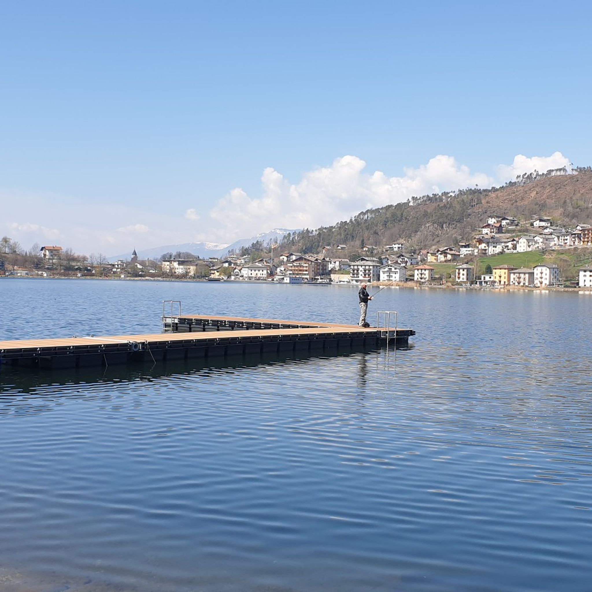
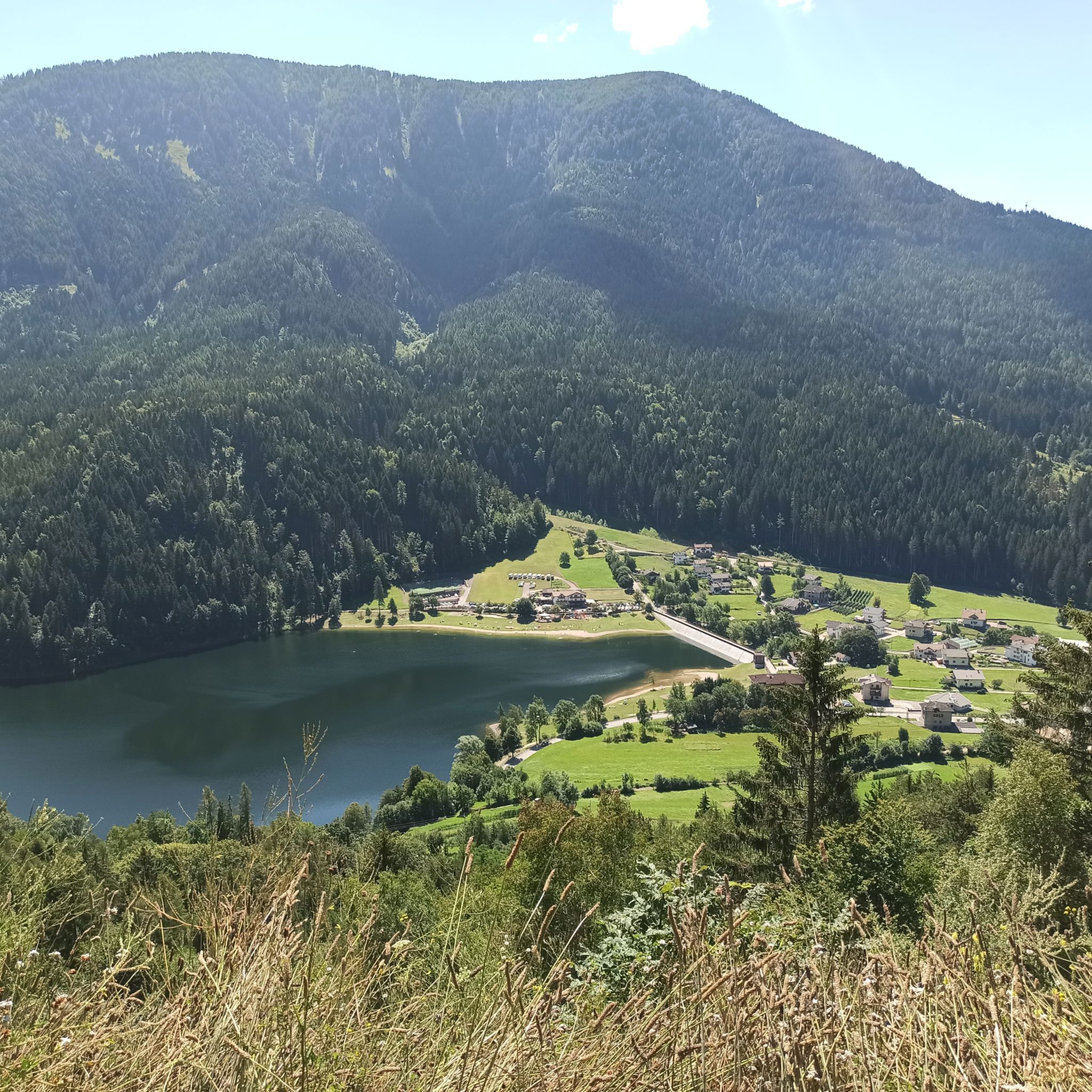
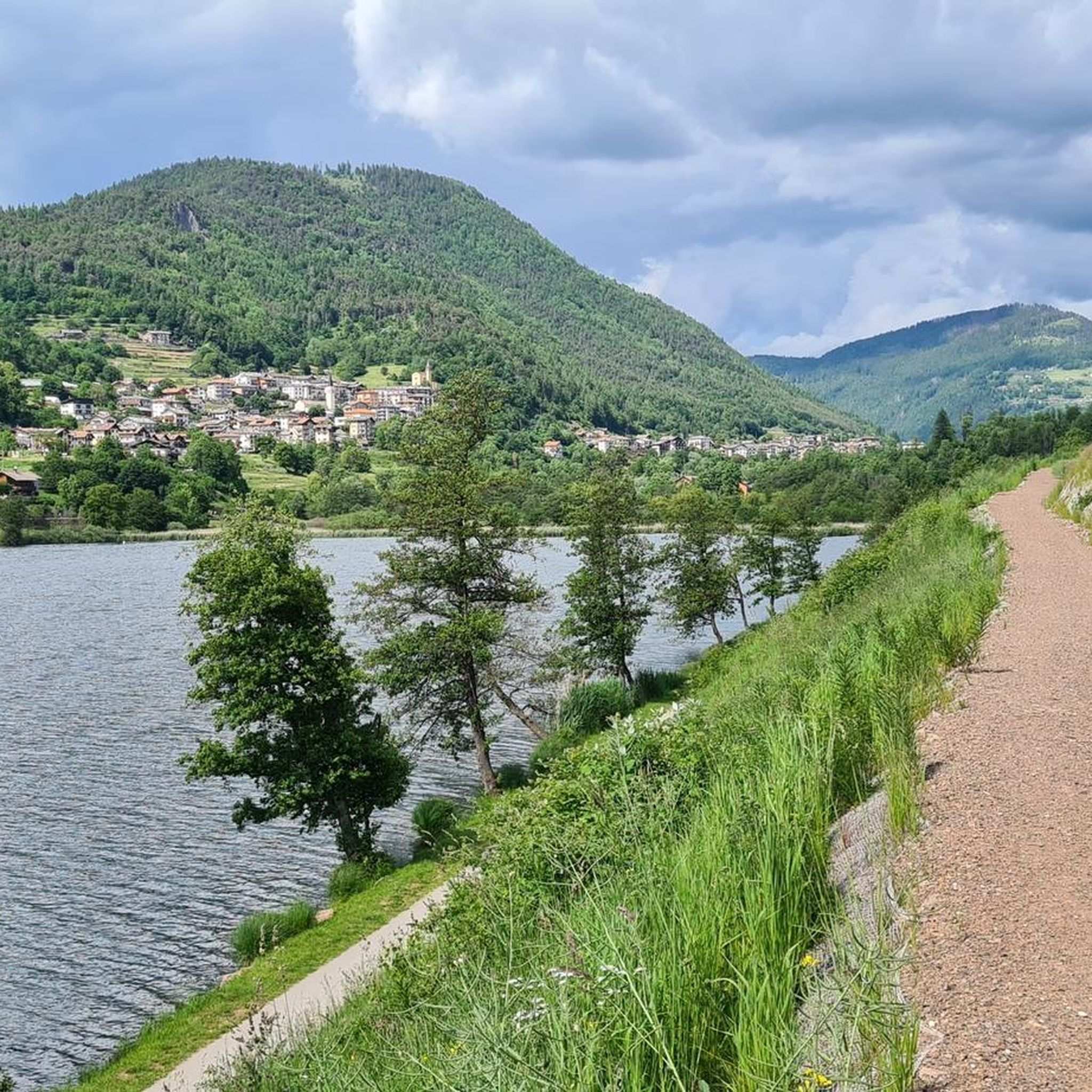
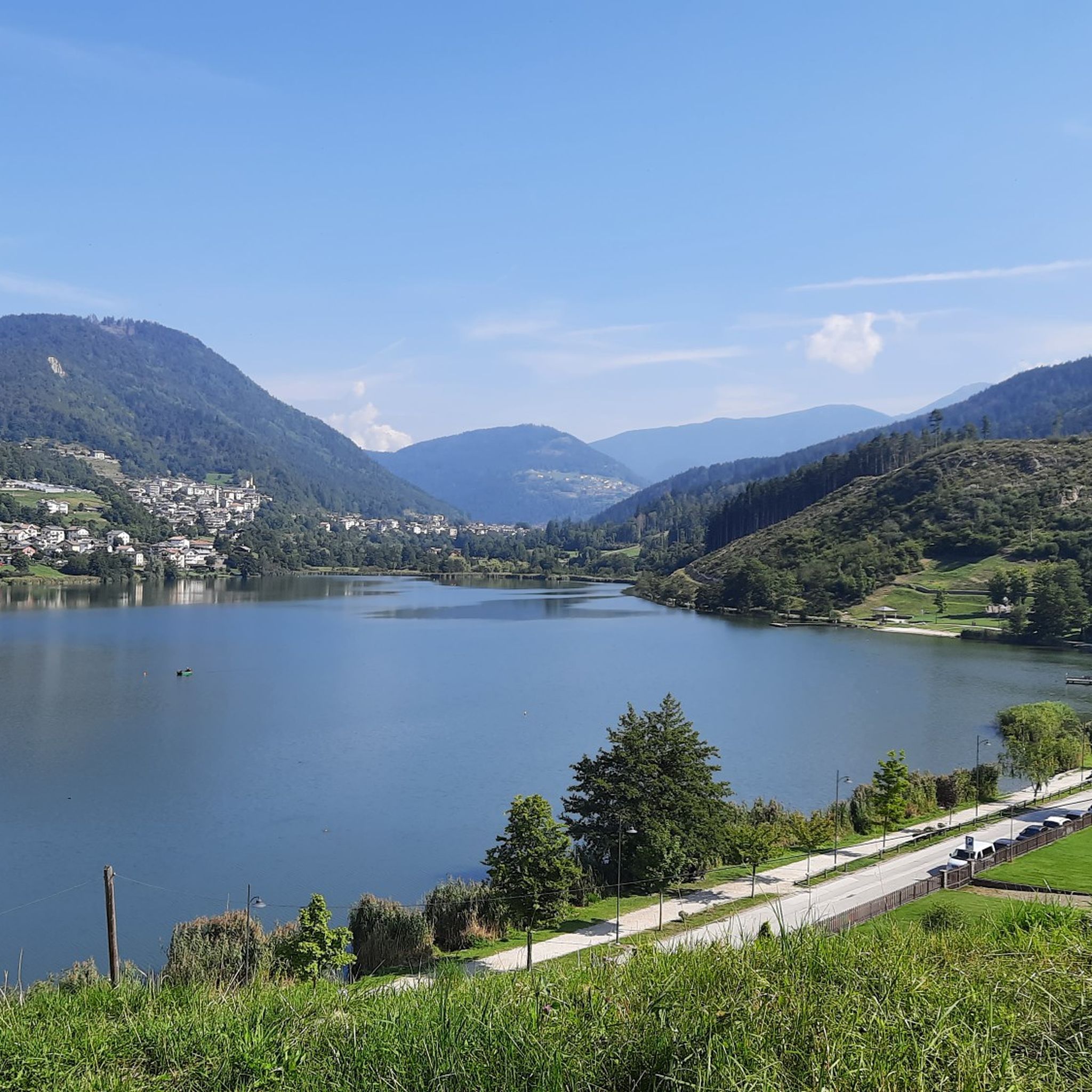
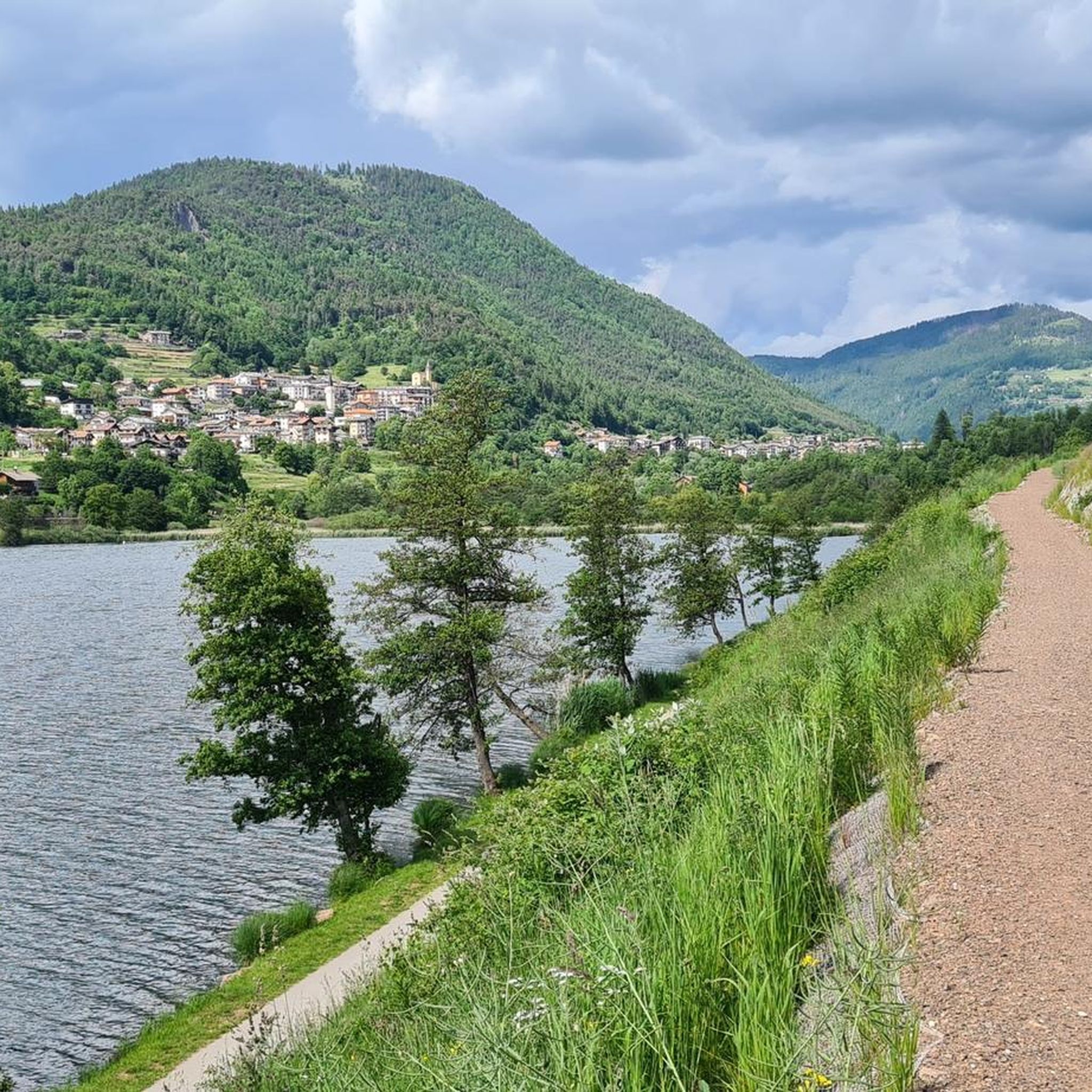
Mountaineering routes around Lago della Serraia are situated on the Piné plateau in Trentino, Italy, at an elevation of 974 meters above sea level. This area is characterized by its glacial origin, surrounded by woods, meadows, and reeds, forming part of the Paludi di Sternigo biotope. The region serves as a gateway to the broader Alpine environment, offering access to more demanding mountainous terrain within the Trentino-Alto Adige/Südtirol region.
Best mountaineering routes around Lago della Serraia
- The most popular mountaineering…
Last updated: July 1, 2026
6
hikers
Hard mountaineering route. Very good fitness required. Mostly accessible paths. Sure-footedness required.
4
hikers
12.1km
06:02
1,040m
1,040m
Hard mountaineering route. Very good fitness required. Sure-footedness, sturdy shoes and alpine experience required.

Sign up for free
5.0
(1)
19
hikers
Hard mountaineering route. Very good fitness required. Sure-footedness, sturdy shoes and alpine experience required.
5.0
(1)
16
hikers
Hard mountaineering route. Good fitness required. Sure-footedness, sturdy shoes and alpine experience required.
14
hikers
Moderate mountaineering route. Good fitness required. Mostly accessible paths. Sure-footedness required.
Get access to more routes and recommendations from other explorers.
Sign up for free
Already have an account?
Our route recommendations are based on thousands of hikes, rides, and runs completed by other people on komoot.
Start today with a free account
Your next adventure awaits.
Login or Signup

Tips from the Community

The main center with the seat of the museum and the Cimbrian cultural institute.
0
0
Easily accessible refuge, nestled in a basin with a semicircle of rare beauty mountains
0
0
Junction point for the low crossing to Erdemolo lake
0
0

Beautiful, the right compromise for an easy outing for a beginner who seeks the wild mood of the Lagorai.
1
0

the beautiful climb of the "Vertical Casara"
0
0

from the Miola Ice Palace to the Dosso di Costalta beautiful and easy
0
0

Easy and pleasant excursion, accessible all year round. 360° panorama and with support points at Malga Cambroncoi and Passo Redebus.
0
0

Frequently Asked Questions
What is the general difficulty level of mountaineering routes around Lago della Serraia?
The mountaineering routes featured around Lago della Serraia are generally considered difficult. They often involve significant elevation gain and require good fitness, sturdy shoes, and alpine experience to complete safely.
Are there any circular mountaineering routes available?
Yes, several mountaineering routes around Lago della Serraia are circular. For example, you can explore the Dosso di Costalta (1,955 m) – Panoramic Picnic Area loop from Baselga di Piné, which offers panoramic views, or the challenging Cima Ruioch loop from Piazzola "A".
What kind of landscapes can I expect to see on these mountaineering routes?
Mountaineering routes around Lago della Serraia offer diverse landscapes, from dense woodlands and meadows to high Alpine peaks. The region is characterized by its glacial origin, and you'll encounter enchanting Alpine scenery typical of the Piné Plateau and the broader Trentino area.
How long do these mountaineering routes typically take to complete?
The duration of these routes varies depending on the specific trail and your pace. For instance, the Dosso di Costalta (1,955 m) – Panoramic Picnic Area loop from Baselga di Piné typically takes around 5 hours and 45 minutes, while the Hoamut – Monte Gronlait loop from Palù del Fersina - Palai en Bersntol is often completed in about 5 hours and 43 minutes.
What do other mountaineers say about the routes in Lago della Serraia?
The mountaineering routes in Lago della Serraia are highly rated by the komoot community, with an average score of 4.7 stars from over 6 reviews. Many mountaineers appreciate the challenging ascents and the rewarding Alpine vistas.
Are there any routes that offer expansive views of the Alpine landscape?
Absolutely. The Cima Ruioch loop from Piazzola "A" is known for ascending to Cima Ruioch, providing expansive vistas of the surrounding Alpine landscape. Similarly, the Dosso di Costalta (1,955 m) – Panoramic Picnic Area loop from Baselga di Piné offers panoramic views from its high elevation.
Can I find mountaineering routes that start from different locations around the lake?
Yes, the routes originate from various points. For example, you can start the Dosso di Costalta (1,955 m) – Panoramic Picnic Area loop from Baselga di Piné, or the Cima Ruioch loop from Piazzola "A". Other routes, like the Hoamut – Monte Gronlait loop, begin from Palù del Fersina - Palai en Bersntol.
What is the highest point reached on these mountaineering routes?
One of the highest points reached on these routes is Dosso di Costalta, at an elevation of 1,955 meters, which you can experience on the Dosso di Costalta (1,955 m) – Panoramic Picnic Area loop from Baselga di Piné.
Are there any other activities available around Lago della Serraia besides mountaineering?
Yes, Lago della Serraia and the Piné Plateau offer a wide range of activities. You can enjoy gentle hiking and cycling paths, water sports like swimming, stand-up paddleboarding, and kayaking, or even ice skating and cross-country skiing in winter. The area is also perfect for relaxation and picnics.
Is Lago della Serraia a good base for accessing more challenging alpine terrain?
While Lago della Serraia itself is surrounded by more gentle recreational paths, its location within the Piné Plateau makes it an excellent base for accessing more demanding mountainous terrain and alpine experiences in the broader Trentino-Alto Adige/Südtirol region.
What is the typical elevation gain on these mountaineering routes?
The mountaineering routes around Lago della Serraia feature significant elevation gains. For example, the Hoamut – Monte Gronlait loop from Palù del Fersina - Palai en Bersntol involves over 1,000 meters of ascent, and the Cima Ruioch loop from Palù del Fersina - Palai en Bersntol also has over 1,000 meters of elevation gain.
Are there any routes that explore the area between two peaks?
Yes, the Between the Two Peaks loop from Palù del Fersina - Palai en Bersntol is a challenging route that takes you through mountainous terrain, exploring the landscape between two prominent peaks in the region.
Most popular routes around Lago della Serraia

Get inspired with the komoot mobile app


Explore more
Browse the best Mountain Hikes & Routes in other regions.
