The best walks and hikes in the Bashchelakskiy Khrebet
4.5
(2)
43
hikers
4
hikes
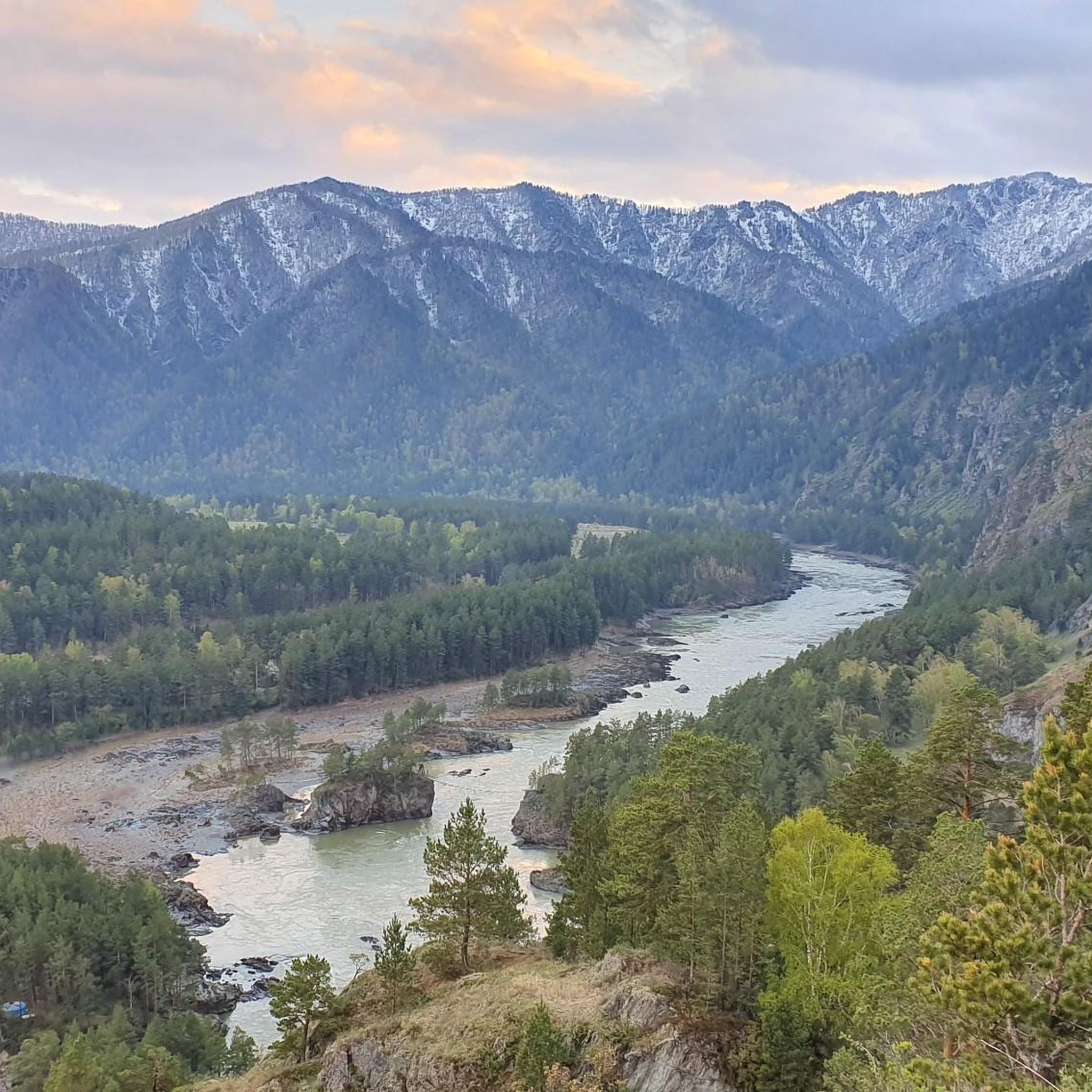
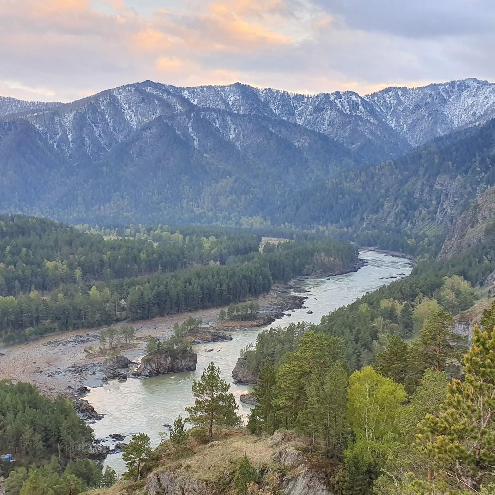
Hiking in the Bashchelakskiy Khrebet offers diverse landscapes within the northwestern Altai Mountains. This mountain range, approximately 120 kilometers long, features varied topography shaped by crystalline schists and granite. Elevations reach up to 2,423.4 meters, transitioning from mountain forest-steppes to dark coniferous taiga, larch forests, and alpine meadows. The region is characterized by distinctive rock formations, vast boulder fields, and pristine glacial lakes.
Best hiking trails in the Bashchelakskiy Khrebet
- The most popular hiking route is Kamyshlinsky Waterfall loop from…
Last updated: July 1, 2026
4.0
(1)
33
hikers
5.60km
01:31
70m
70m
Easy hike. Great for any fitness level. Easily-accessible paths. Suitable for all skill levels.
3
hikers
3.47km
01:45
400m
400m
Moderate hike. Good fitness required. Easily-accessible paths. Suitable for all skill levels.

Sign up for free
2
hikers
5.69km
01:38
120m
120m
Easy hike. Great for any fitness level. Easily-accessible paths. Suitable for all skill levels.
5.0
(1)
5
hikers
16.2km
04:39
410m
410m
Moderate hike. Good fitness required. Easily-accessible paths. Suitable for all skill levels.
Our route recommendations are based on thousands of hikes, rides, and runs completed by other people on komoot.
Start today with a free account
Your next adventure awaits.
Login or Signup
Popular around Bashchelakskiy Khrebet
Frequently Asked Questions
What kind of terrain can I expect when hiking in the Bashchelakskiy Khrebet?
The Bashchelakskiy Khrebet offers a diverse range of landscapes. You'll encounter mountain forest-steppes in the northwestern sections, dark coniferous taiga on northern and northeastern slopes, and larch forests further south. At elevations above 2,000 meters, these transition into mountain tundras and alpine meadows. The geological composition of crystalline schists and granite has also created distinctive rock formations.
Are there any unique natural features or landmarks to look out for?
Yes, the region is known for several unique natural features. One of the most remarkable is the "Great Wall," a series of remnant rock formations along the ridge that resemble ancient ruins due to natural erosion. Butachikha Mountain features fascinating "stone rivers" (kurumy), which are vast fields of boulders appearing to flow down the slopes. Additionally, you can find the pristine Bashchelakskoye Lake at 1,750 meters, and the impressive Shinnok Waterfalls.
What is the best time of year to go hiking in the Bashchelakskiy Khrebet?
The Bashchelakskiy Khrebet is suitable for challenging, multi-day hikes. A recommended two-day, 30-kilometer hike is suggested for late autumn to avoid the high summer grass. Generally, the warmer months from late spring to early autumn would offer the most favorable conditions, but be prepared for varying weather.
Are there any easy hiking trails suitable for beginners or a relaxed walk?
Yes, there are easy options available. For a gentle introduction to the area, consider the Kamyshlinsky Waterfall loop from Barangol. This route is about 5.6 km long with gentle elevation changes, typically taking around 1 hour 30 minutes. Another easy option is the Hiking loop from Чемал, which is approximately 5.7 km.
What are the more challenging hiking options in the Bashchelakskiy Khrebet?
For those seeking a more challenging experience, the Bashchelakskiy Khrebet offers routes with sustained climbing. The Перевал Семинский loop from Озёрное is a moderate 16.2 km path with an elevation gain of over 400 meters. Another moderate option is the Вид на Чемал и Катунь loop from Чемал, a 3.5 km trail with significant elevation gain, often completed in about 1 hour 45 minutes.
Are there any waterfalls in the Bashchelakskiy Khrebet region?
Yes, the Bashchelakskiy Khrebet is home to the impressive Shinnok Waterfalls, located in the upper reaches of the Shinnok River. You can experience a part of the region's natural beauty by hiking the Kamyshlinsky Waterfall loop from Barangol.
What kind of wildlife or protected areas can be found here?
The highest parts of the ridge are home to the Bashchelakskiy Nature Reserve, which protects a diverse ecosystem. This reserve is a haven for a wide array of flora and fauna, including species listed in the Red Book of Russia, such as the Siberian Kandyk flower, Altai Rhubarb, black stork, and golden eagle.
What should I pack for a hike in the Bashchelakskiy Khrebet?
Given that some routes can be quite remote and challenging, thorough preparation is essential. You should pack sufficient water, food, appropriate clothing for varying weather conditions, sturdy hiking shoes, and if planning multi-day trips, tents. Experience and self-sufficiency are highly recommended.
Are there any caves to explore in the area?
Yes, beyond traditional hiking, the Bashchelakskiy Khrebet region features intriguing caves. Notable examples include the Museum Cave (Музейная пещера) and Razboynichya Cave (Разбойничья пещера), offering additional opportunities for exploration.
What do other hikers say about the trails in Bashchelakskiy Khrebet?
The routes in Bashchelakskiy Khrebet are highly rated by the komoot community, with an average score of 4.5 stars. Hikers often praise the diverse landscapes, from forest-steppes to alpine meadows, and the unique natural features like rock formations and glacial lakes.
How many hiking trails are available in the Bashchelakskiy Khrebet on komoot?
There are currently 4 hiking trails available in the Bashchelakskiy Khrebet on komoot, offering a mix of easy and moderate options to explore the region's diverse terrain.
Most popular routes in the Bashchelakskiy Khrebet

Get inspired with the komoot mobile app


Explore more
Browse the best Hikes in other regions.
