The best mountain hikes in Moselle
5.0
(6)
16
hikers
6
hikes
Mountaineering routes in Moselle traverse a diverse landscape characterized by the winding Moselle River valley, steep vineyard-covered slopes, and extensive forests. The region features impressive rock formations and elevated plateaus, including parts of the Eifel foothills and Hunsrück range. This varied terrain offers numerous opportunities for exploration, from gentle ascents to more challenging climbs.
Best mountaineering routes in Moselle
- The most popular mountaineering route is Emperor's Steps – Donon Temple loop from Grandfontaine, a 3.6 miles (5.8 km) trail…
Last updated: August 25, 2026
5.0
(2)
10
hikers
5.84km
01:53
260m
260m
Easy mountaineering route. Great for any fitness level. Easily-accessible paths. Suitable for all skill levels.
5.0
(2)
2
hikers
12.9km
04:03
480m
490m
Moderate mountaineering route. Good fitness required. Mostly accessible paths. Sure-footedness required.

Sign up for free
1
hikers
12.3km
04:02
490m
500m
Moderate mountaineering route. Good fitness required. Mostly accessible paths. Sure-footedness required.
5.0
(1)
1
hikers
3.33km
00:55
50m
50m
Easy mountaineering route. Great for any fitness level. Easily-accessible paths. Suitable for all skill levels.
1
hikers
11.2km
03:41
400m
400m
Moderate mountaineering route. Good fitness required. Mostly accessible paths. Sure-footedness required.
5.0
(1)
1
hikers
12.2km
03:25
230m
230m
Moderate mountaineering route. Good fitness required. Easily-accessible paths. Suitable for all skill levels.
Our route recommendations are based on thousands of hikes, rides, and runs completed by other people on komoot.
Start today with a free account
Your next adventure awaits.
Login or Signup
Popular around Moselle
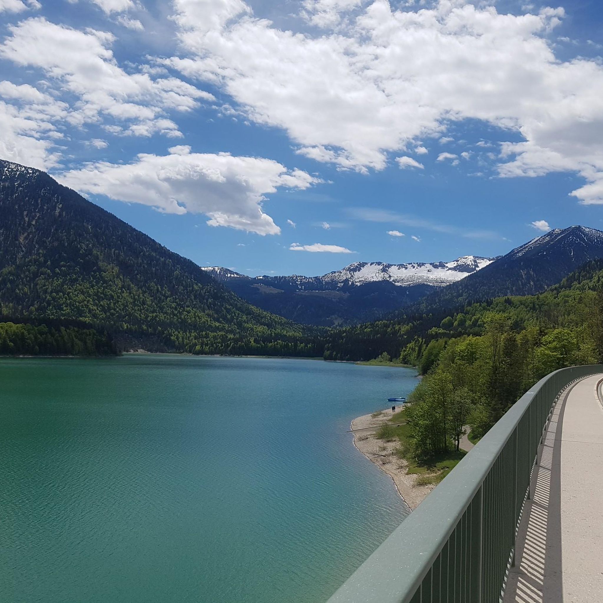
Mountain Hikes in Vosges Du Nord
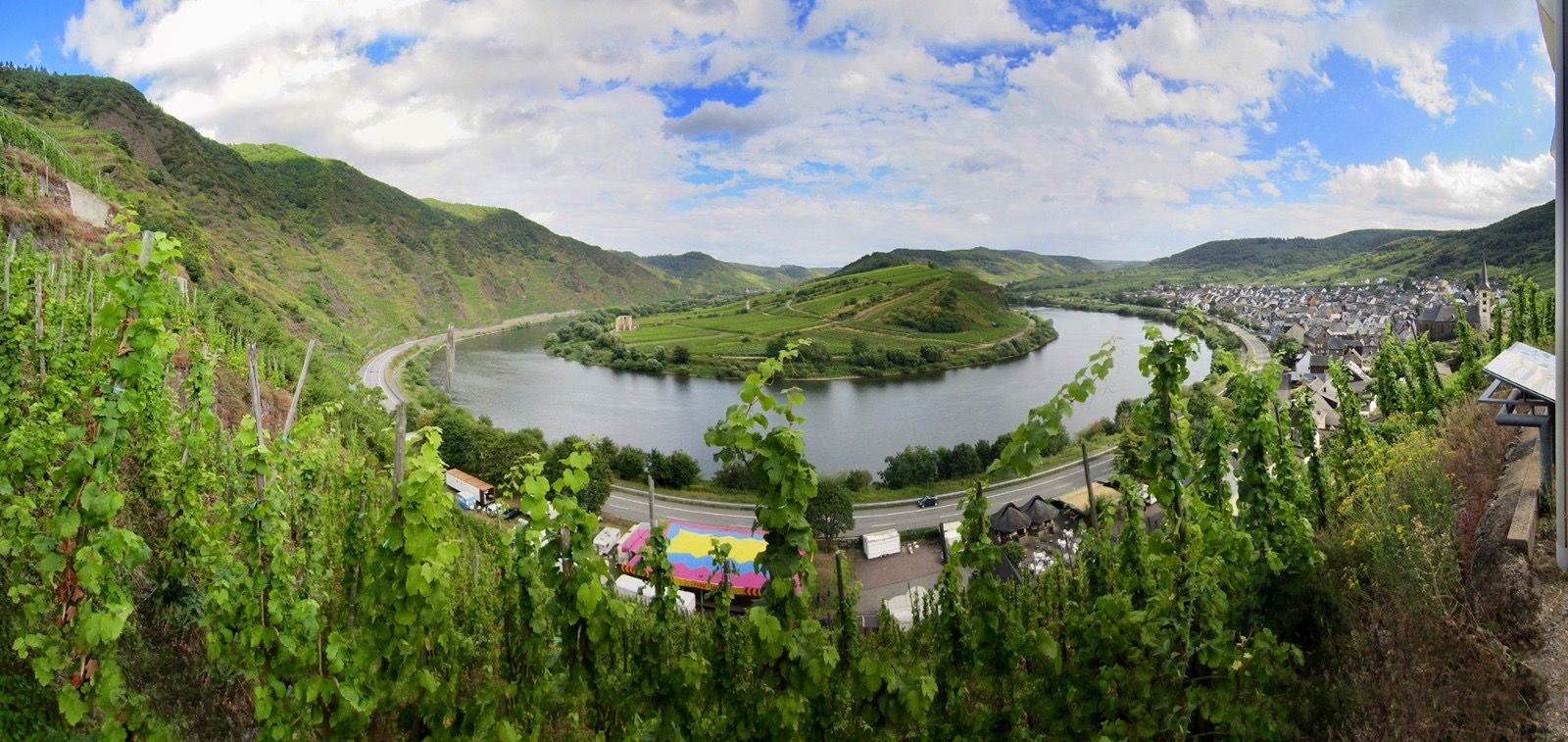
The Moselle cycle path — from the Vosges to the Rhine in 18 stages
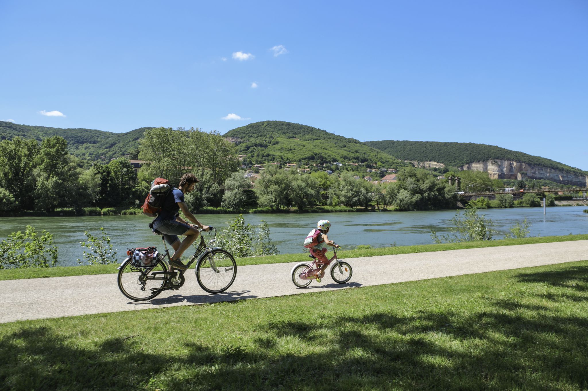
The Voie Bleue – Moselle-Saône by bike
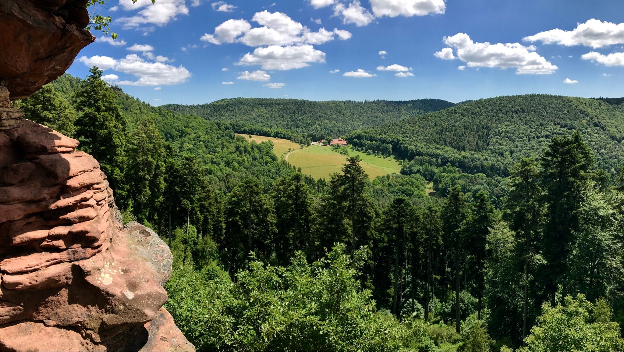
Hike the GR 53 – Explore castles along the Franco-German border

GR 5 – The Europe Trail from the Mediterranean to Germany
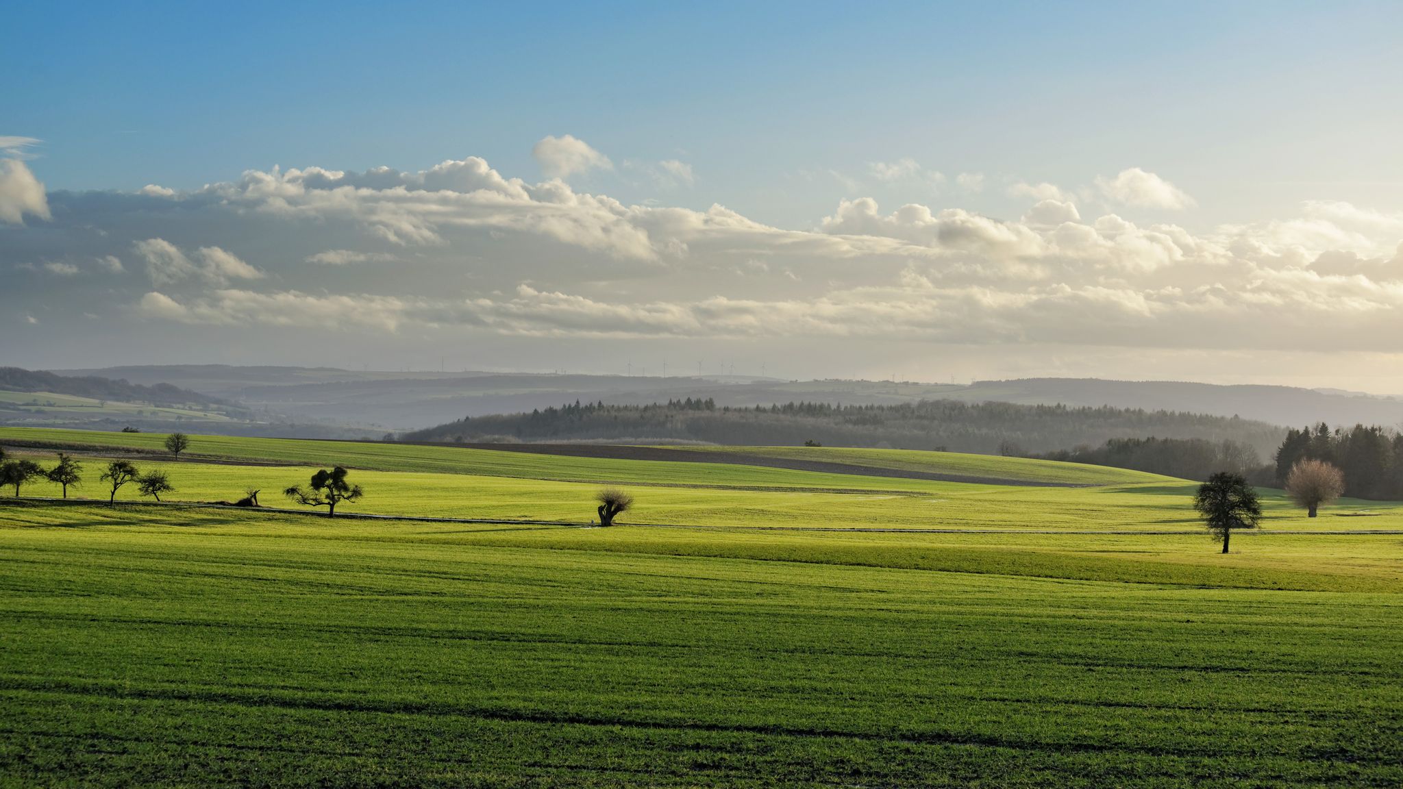
GR5 — The Europe Trail from Abreschviller to Apach

Naples to North Cape — Two friends, one purpose and many scoops of ice-cream
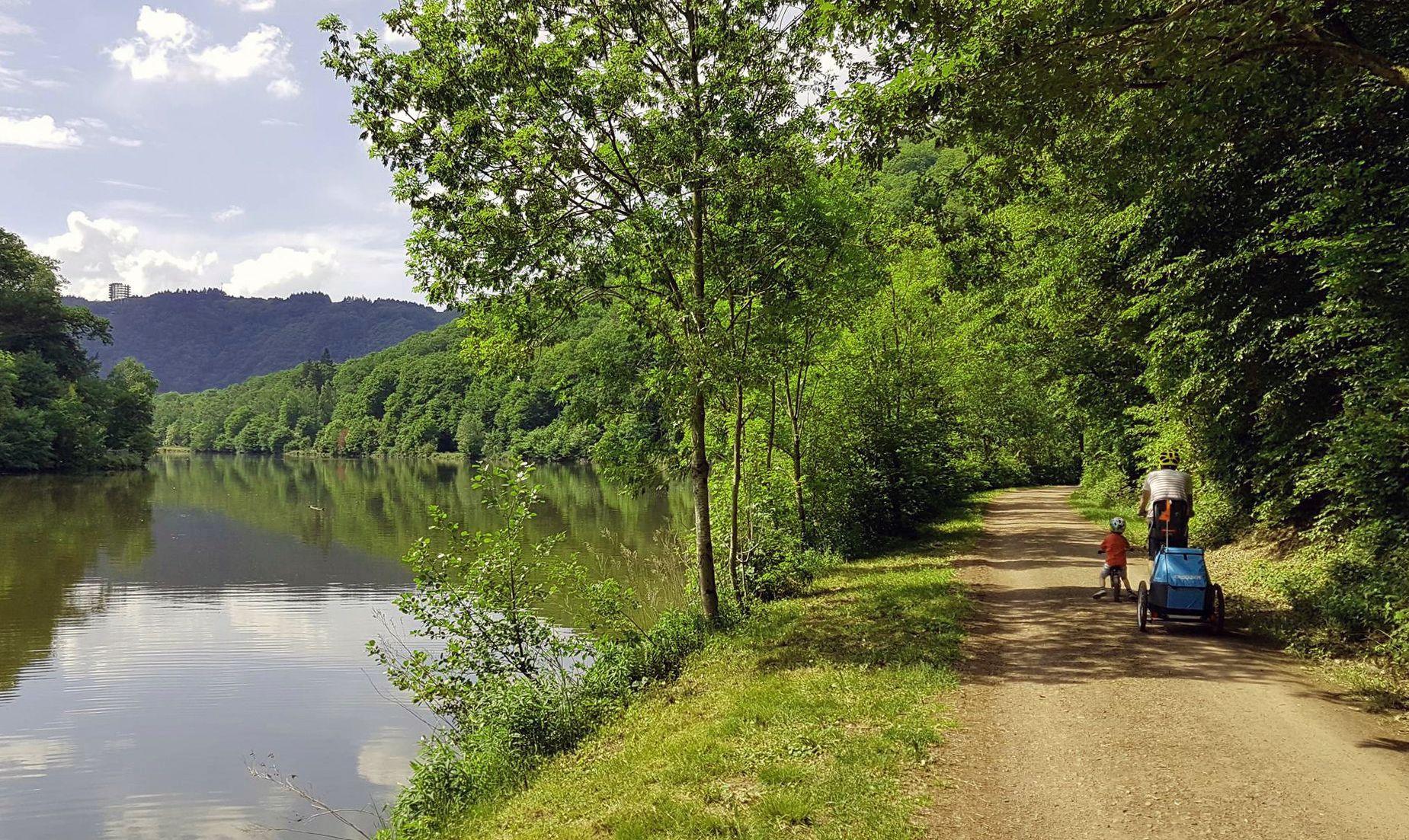
Saar Cycle Route — through the Saarland to the Moselle
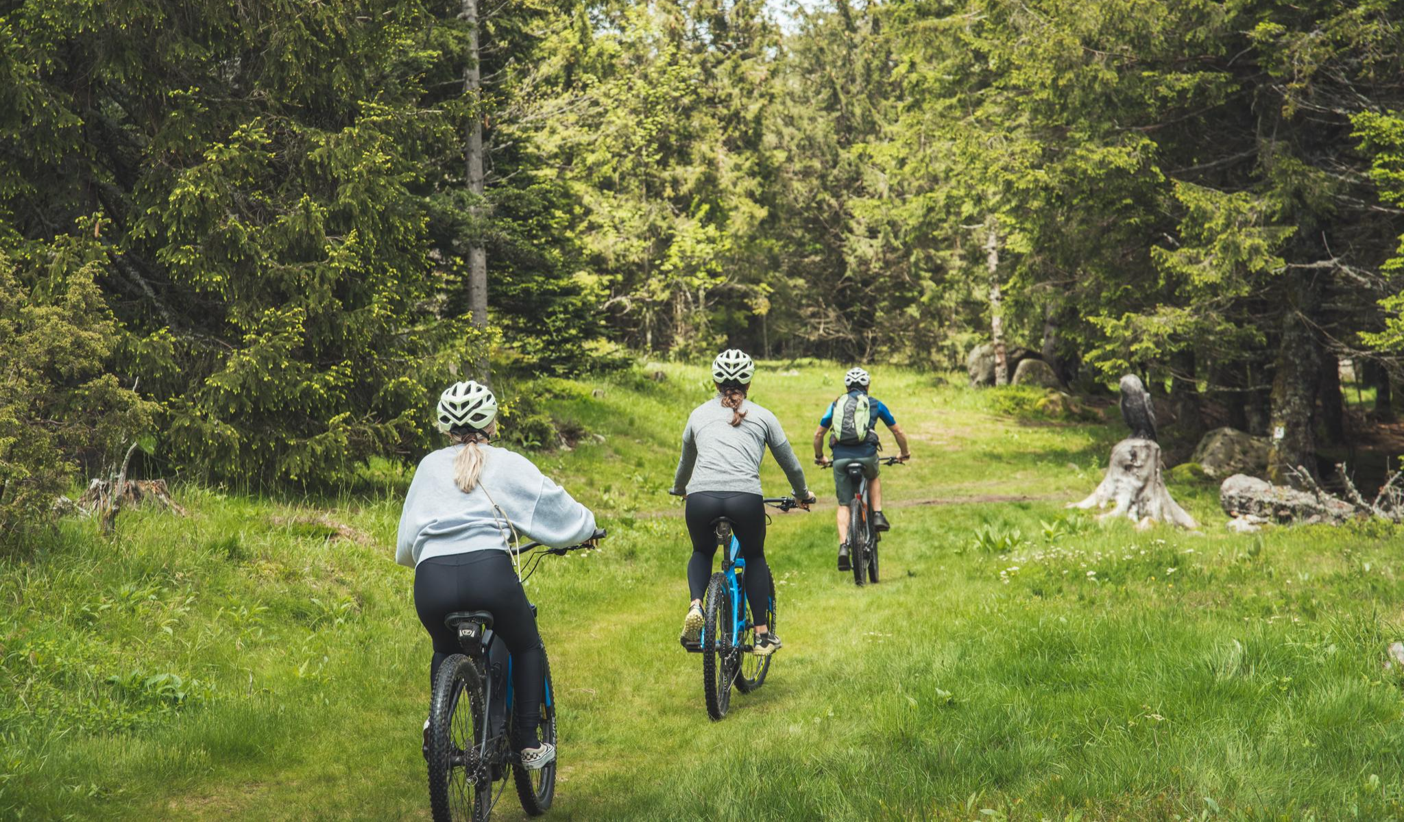
MTB and gravel in the Grand Est – the joy of the low mountains
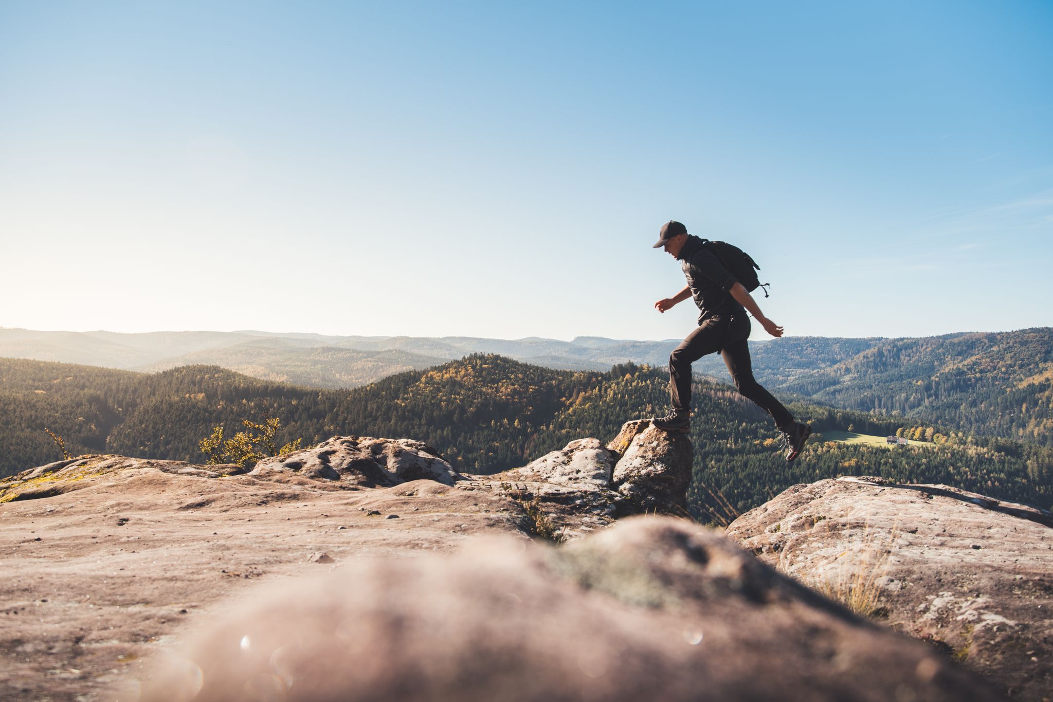
Trail running in the Grand Est – the region's most beautiful hilly trails
Other adventures in Moselle


Tips from the Community

Imposing remains of a Celtic rampart system with an annex wall around a spring/spring sanctuary. Little researched and with a "Celtic sacrificial stone".... As of July 2026, many trees have fallen after a tornado-like storm. Paths closed. Take care.
0
0


Gienanth fountain from 1842 in front of the manor house in Schönau. In 1835, Ludwig von Gienanth acquired the smelting works, which went bankrupt in 1883.
1
1

Beautiful hiking destination, there is also a cycling route
0
0

A great place for camping, a good restaurant, a great welcome, beautiful hiking and biking trails. Thanks to the owners, very accommodating.
0
0

The Wegelnburg Castle is located at an altitude of 572 meters, stretching along a mountain ridge. It is the highest castle complex in the Palatinate region, offering panoramic views over the Palatinate Forest/Northern Vosges Biosphere Reserve. This imperial fortress was built in the 12th/13th centuries. Remains of gates, buildings, large rock chambers, and surrounding walls are worth seeing.
3
0
Not far from Hohenbourg Castle, near the German-French border, lies the Maiden's Fountain, which bears witness to a tragic story: For a long time, the lords of Hohenbourg and Wegelnburg were enemies. And as fate would have it, the squire Robert von Wegehiburg fell in love with Edwige, daughter of the lord of Hohenbourg. She often lingered at the abundant spring between the two castles. One day, Robert went hunting. He chased a wild boar that was heading towards the spring where Edwige was. In the heat of the moment, the boar leaped at Edwige, but Robert, a skilled hunter, managed to catch it just in time, and with this act, he won his beloved's heart. The two often spent time secretly at this spring between the feuding castles. But one day, the lord of Hohenbourg surprised his daughter in the arms of his arch-enemy's son. In a blind rage, he stabbed Robert to death before Edwige's eyes. She collapsed with grief and died on the spot, instantly following her lover into the realm of the dead. Since that terrible day, two forget-me-not bushes have grown at this spring, which is now known as the Maiden's Fountain. It is not uncommon to see a white shadow above the Maiden's Fountain at dusk: this is the ghost of Edwige, descending from the cellars of Hohenbourg Castle to visit the place of her love. There she sings mournful words and sheds tears into the stream before being carried away by the wind.
8
0

Beautiful climb and lovely view at the pass - Altitude 728m Restaurants (inns) at the pass
0
0
Frequently Asked Questions
How many mountaineering routes are available in Moselle?
There are 10 mountaineering routes in Moselle featured in this guide, offering diverse experiences across the region's varied terrain.
What are the typical difficulty levels for mountaineering routes in Moselle?
The mountaineering routes in Moselle primarily range from easy to moderate. This guide features 2 easy routes and 8 moderate routes, making the region accessible for various skill levels. You'll find paths through steep vineyards, extensive forests, and past impressive rock formations.
Are there any family-friendly mountaineering routes in Moselle?
Yes, Moselle offers several routes suitable for families. For an easier option, consider the Emperor's Steps – Donon Temple loop from Grandfontaine, which is 3.6 miles (5.8 km) long and features steady climbs with scenic views. Another easy route is the Mountaineering loop from Montauville, which is shorter at 3.3 miles (3.3 km).
What kind of natural features can I expect to see on these routes?
Moselle's mountaineering routes showcase a rich array of natural features. You'll encounter the dramatic Moselle River valley, steep vineyard-covered slopes, and extensive forests. Impressive rock formations are common, such as those on the Tziganes Rock – Klingelfels Rock Formation loop from Schönau (Pfalz). The region also includes parts of the Eifel foothills and Hunsrück range, offering diverse landscapes.
Are there any notable viewpoints or landmarks along the mountaineering trails?
Absolutely. Many routes offer stunning panoramic views and pass by significant landmarks. For instance, the Orkelsfels – Saarschleife / Cloef loop from Orscholz leads through the iconic Saarschleife (Saar Loop). You can also find breathtaking vistas from highlights like the Rocher de Dabo and Chapel Saint-Léon IX or the Tour de Drince Observation Tower.
What do other mountaineers enjoy most about the routes in Moselle?
The mountaineering routes in Moselle are highly rated by the komoot community, with an average score of 4.9 stars. Reviewers often praise the diverse terrain, from river valleys to forests and rock formations, and the well-maintained paths that offer both challenging and relaxing experiences. The scenic beauty, especially the views of the vineyards and the Moselle River, is frequently highlighted.
Are there any circular mountaineering routes available?
Yes, many of the mountaineering routes in Moselle are designed as circular loops, allowing you to start and end at the same point. Examples include the Altschloss Rocks – Altschlossfelsen loop from Eppenbrunn and the Hohenbourg Castle – View from Wegelnburg Castle loop from Schönau (Pfalz), both offering engaging round trips.
What is the best time of year for mountaineering in Moselle?
The Moselle region is beautiful year-round, but spring (April-May) and autumn (September-October) are particularly popular for mountaineering. During these seasons, the weather is generally mild, and the landscapes are vibrant with blooming flowers or rich autumn colors. Summer can also be pleasant, though some routes might be warmer, especially in the open vineyards.
Are the mountaineering routes in Moselle dog-friendly?
Many trails in the Moselle region are dog-friendly, allowing you to enjoy the outdoors with your canine companion. However, it's always recommended to keep dogs on a leash, especially in nature reserves, near livestock, or in areas with steep terrain. Check specific route details on komoot for any restrictions or recommendations.
Is public transport available to access the mountaineering trails in Moselle?
Public transport options are available in the Moselle region, particularly along the river valley, which can help you reach starting points for some trails. For detailed information on bus and train connections to specific trailheads, it's best to consult local transport schedules or tourist information resources for the Moselle Valley, such as rlp-tourismus.com or visitmoselle.lu.
Are there any routes that pass by historical sites or castles?
Yes, the Moselle region is rich in history, and some mountaineering routes offer glimpses of historic castles and charming villages. For example, the Hohenbourg Castle – View from Wegelnburg Castle loop from Schönau (Pfalz) takes you past impressive castle ruins. The wider Moselle Valley is dotted with historic sites like Metternich Castle and Reichsburg Castle, which can be explored in conjunction with your hikes.
What are some of the longer, more challenging moderate routes in the area?
For those seeking a longer moderate challenge, the Ave Maria Chapel – TÜV Trail on the Kondeler Bach loop from Beckingen (Saar) covers 8.8 miles (14.2 km) and offers a substantial elevation gain. Another excellent option is the Peace Cross on the Maimont – Wolfsfelsen Rock loop from Obersteinbach, which is 6.9 miles (11.2 km) long and features significant ascents through varied terrain.
Most popular routes in Moselle
Most popular attractions in Moselle

Get inspired with the komoot mobile app


Didn’t find what you were looking for?
Check out more Mountain Hikes & Routes throughout Moselle below and find the perfect route in your destination.
Explore more
Browse the best Mountain Hikes & Routes in other regions.
