The best waterfall hikes and walks in Campobasso
4.3
(352)
2,619
hikers
7
hikes
Waterfall hiking trails in Campobasso are primarily found within the Matese Regional Park, a mountainous area characterized by limestone formations, dense forests, and significant water features. The region's terrain includes both gentle slopes and more challenging ascents, offering diverse landscapes for hikers. Waterfalls and lakes, such as the long lake of Matese, are prominent natural attractions. The trails often traverse varied elevations, providing views of the surrounding Molise countryside.
Best waterfall hiking trails in Campobasso
- The most popular waterfall hiking…
Last updated: May 11, 2026
5.0
(1)
8
hikers
Embark on a difficult 9.2-mile (14.8 km) loop tour to Pianellone and Gallinola, a challenging hike that demands 6 hours and 10 minutes of your time and features a substantial…
4.0
(2)
6
hikers
5.11km
01:32
150m
150m
Easy hike. Great for any fitness level. Easily-accessible paths. Suitable for all skill levels.

Sign up for free
5.0
(2)
6
hikers
7.51km
02:14
230m
220m
Moderate hike. Good fitness required. Easily-accessible paths. Suitable for all skill levels.
4.5
(2)
9
hikers
6.29km
02:45
340m
340m
Hard hike. Good fitness required. Sure-footedness, sturdy shoes and alpine experience required.
2.0
(1)
8
hikers
14.3km
06:58
940m
940m
Hard hike. Very good fitness required. Sure-footedness, sturdy shoes and alpine experience required.
Get access to more routes and recommendations from other explorers.
Sign up for free
Already have an account?
Our route recommendations are based on thousands of hikes, rides, and runs completed by other people on komoot.
Start today with a free account
Your next adventure awaits.
Login or Signup

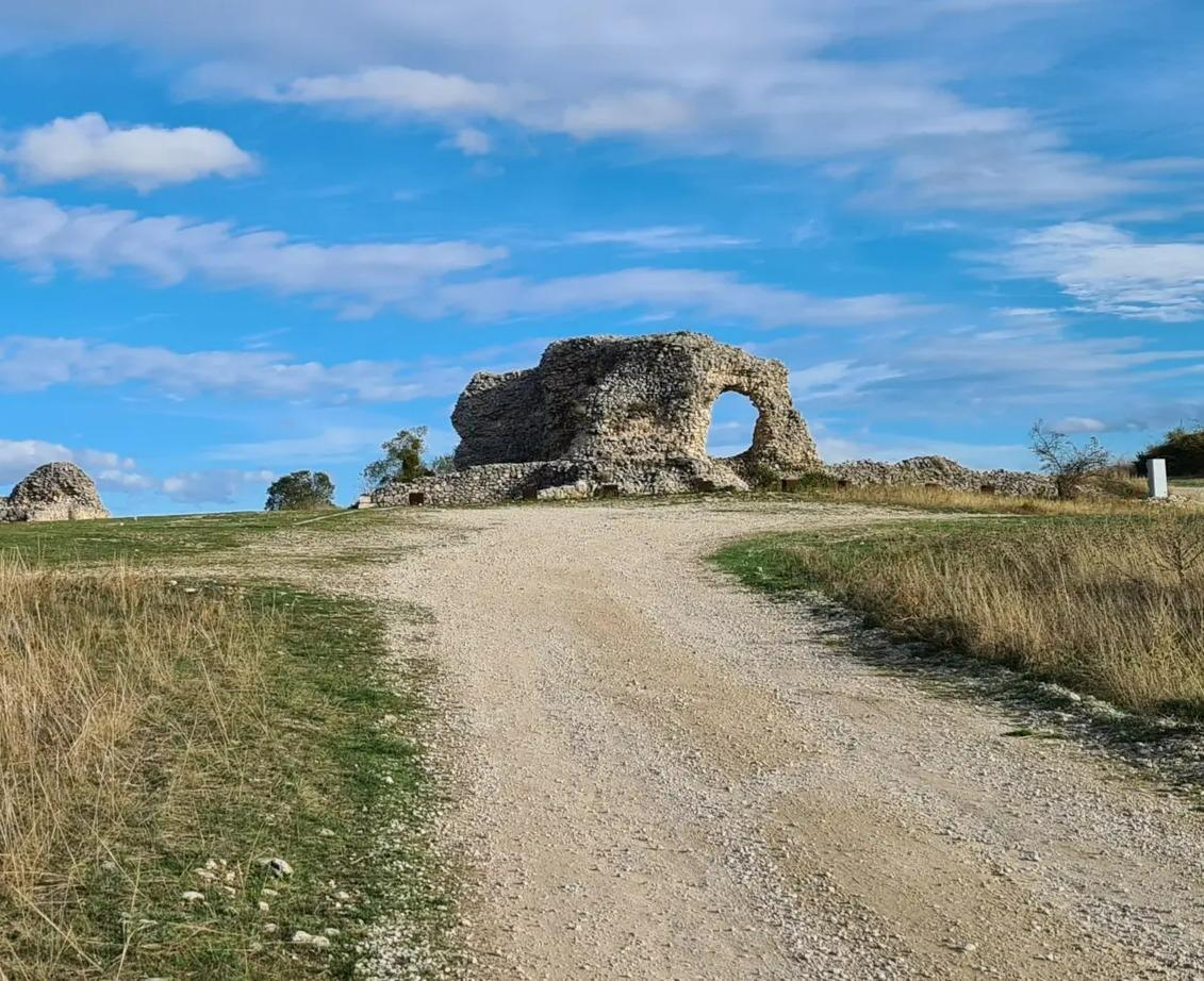
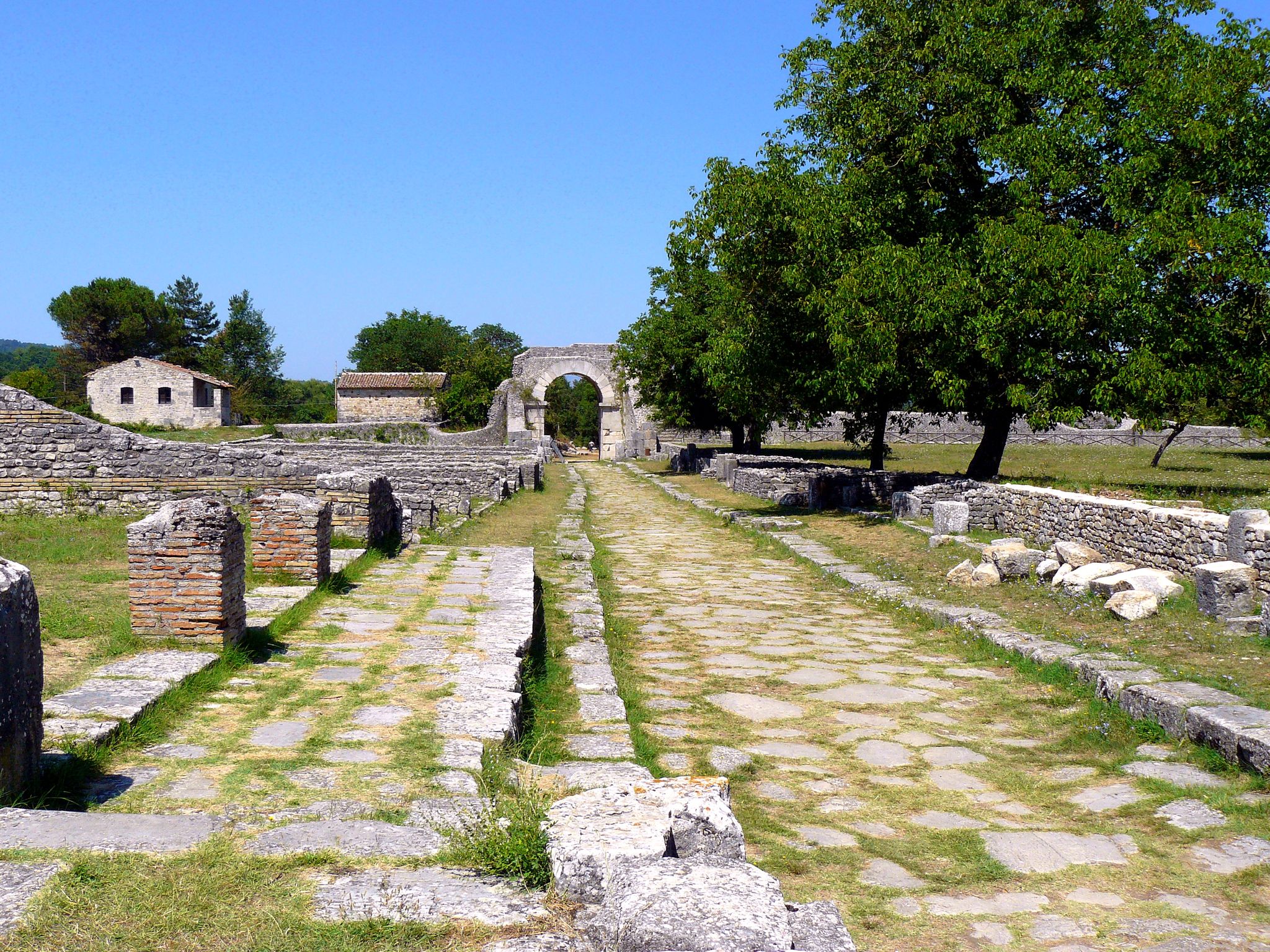
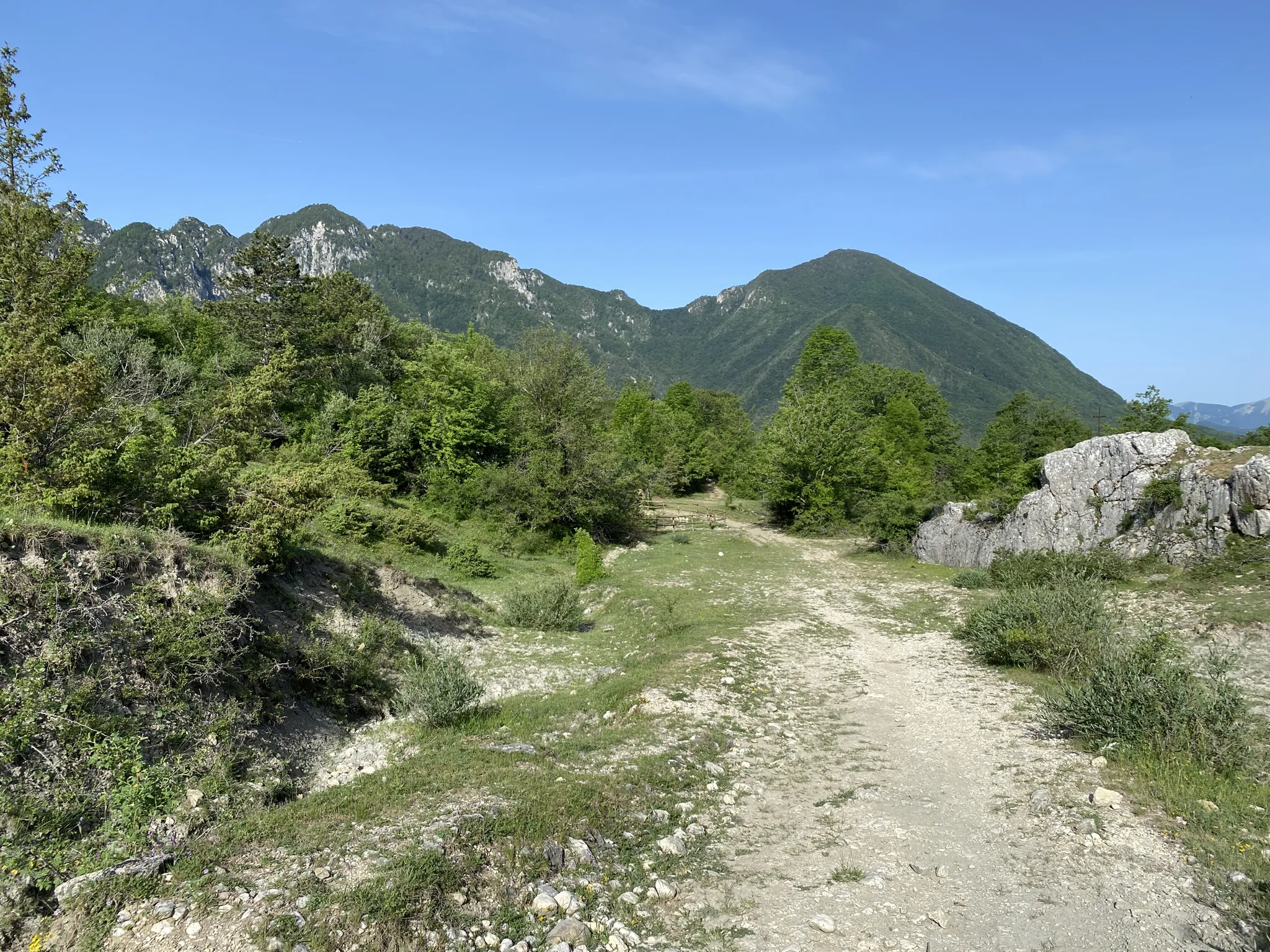


Tips from the Community

Warning! The descent into the cave is dangerous...you have to be very careful...not for everyone.
0
0

Gallinola (1,923 m above sea level) is the second highest peak in the Matese range and is located in Molise. It can be reached from Campitello Matese via a 5.5 km hike and an elevation gain of just under 500 meters. The view from the summit is spectacular, stretching from the Maiella to the Tyrrhenian Sea, clearly visible in good weather.
1
0

Challenging route with a difference in altitude of about 600m, starting from the Ecocamous refuge located in the Santa Maria valley. During the route you will encounter woods, valleys and a beautiful view of Lake Matese. The route leads to the highest peak in Campania, La Gallinola (1923m)
0
0

View overlooking the valley of Lake Matese
0
0
Getting there from the Santa Maria refuge was a slog but when you admire the view you understand that it's worth it
3
0

Easy dirt path that runs alongside the pastures occupied by the horses of the Falode Farmhouse
0
0
Beautiful view of Lake Matese. It is the highest lake of karst origin in Italy, being located at around 1000 meters above sea level.
0
0

Gallinola is part of the Matese massif, and with its 1923 meters it is the highest point in Campania. From here the breathtaking panorama is guaranteed.
4
0
Frequently Asked Questions
How many waterfall hiking trails are available in Campobasso?
There are 7 waterfall hiking trails in the Campobasso region, offering a variety of experiences. These routes are primarily found within the Matese Regional Park, known for its limestone formations and dense forests.
Are there any easy waterfall hikes suitable for families in Campobasso?
Yes, for families or those seeking a gentle walk, the Vallantica Waterfall - Matese Regional Park trail is an excellent choice. It's an easy 3.2-mile (5.1 km) route that takes about 1 hour 31 minutes to complete, leading directly to the beautiful Vallantica Waterfall.
What are the typical durations and distances for waterfall hikes in Campobasso?
Waterfall hikes in Campobasso vary significantly in length and duration. You can find shorter, easier trails like the Vallantica Waterfall at 3.2 miles (5.1 km) taking about 1.5 hours, up to more challenging, longer routes such as the Pianellone and Gallinola loop, which is 9.2 miles (14.8 km) and can take over 6 hours.
Are there any challenging waterfall hikes for experienced hikers in Campobasso?
Absolutely. For experienced hikers seeking a challenge, the Pianellone and Gallinola from the long lake of Matese – loop tour is a difficult 9.2-mile (14.8 km) path offering expansive views of the Long Lake of Matese and the surrounding mountainous landscape. Another demanding option is the View of Lake Matese – La Gallinola Summit loop from Falode, which covers 14.2 km with significant elevation gain.
What is the best time of year to go waterfall hiking in Campobasso?
The best time for waterfall hiking in Campobasso is typically during spring and early summer when snowmelt contributes to fuller waterfalls and the surrounding nature is vibrant. Autumn also offers beautiful foliage. While possible, winter hikes may present icy conditions, especially at higher elevations within the Matese Regional Park.
Are there any circular waterfall walks in the Campobasso area?
Yes, several routes in the region are designed as circular walks, allowing you to start and end at the same point. An example is the challenging Pianellone and Gallinola loop tour, which provides a comprehensive experience of the Matese Regional Park. The Hiking loop from San Giovanni Lipioni is another moderate circular option.
What can I expect to see along the waterfall hiking trails in Campobasso?
Beyond the waterfalls themselves, trails in Campobasso often traverse dense woodlands, limestone formations, and offer views of significant water bodies like the Long Lake of Matese. You might also encounter historical sites or natural landmarks. For instance, some routes offer views of peaks like La Gallinola Summit or pass near the Bear Cave.
Are there any nearby attractions or points of interest to visit after a waterfall hike?
Yes, the Campobasso region offers several attractions. You could explore historical sites like the Svevo Castle or the Old Town of Termoli. For nature lovers, the area boasts impressive mountain peaks such as Mount Mutria, offering additional exploration opportunities.
What do other hikers say about the waterfall trails in Campobasso?
The waterfall trails in Campobasso are highly regarded by the komoot community, with an average rating of 4.2 stars from over 148 reviews. Hikers often praise the diverse landscapes, the beauty of the Matese Regional Park, and the rewarding views of the waterfalls and surrounding Molise countryside.
Is public transport available to reach the waterfall hiking trailheads in Campobasso?
Access to trailheads within the Matese Regional Park, where many waterfall hikes are located, can be challenging via public transport. While some larger towns in the Campobasso province have bus services, reaching specific, more remote trail starting points often requires a car. It's advisable to check local bus schedules for routes to the nearest villages and plan accordingly.
Are dogs allowed on the waterfall hiking trails in Campobasso?
Generally, dogs are permitted on hiking trails in the Campobasso region, especially within the Matese Regional Park, provided they are kept on a leash and owners adhere to responsible pet practices, such as cleaning up after them. However, it's always recommended to check specific park regulations or individual trail rules before heading out, as some protected areas might have restrictions.
Most popular routes in Campobasso
Most popular attractions in Campobasso

Get inspired with the komoot mobile app


Didn’t find what you were looking for?
Check out more Hikes throughout Campobasso below and find the perfect route in your destination.
Explore more
Browse the best Hikes in other regions.
