The best walks and hikes in Targovishte Region
5.0
(2)
38
hikers
7
hikes
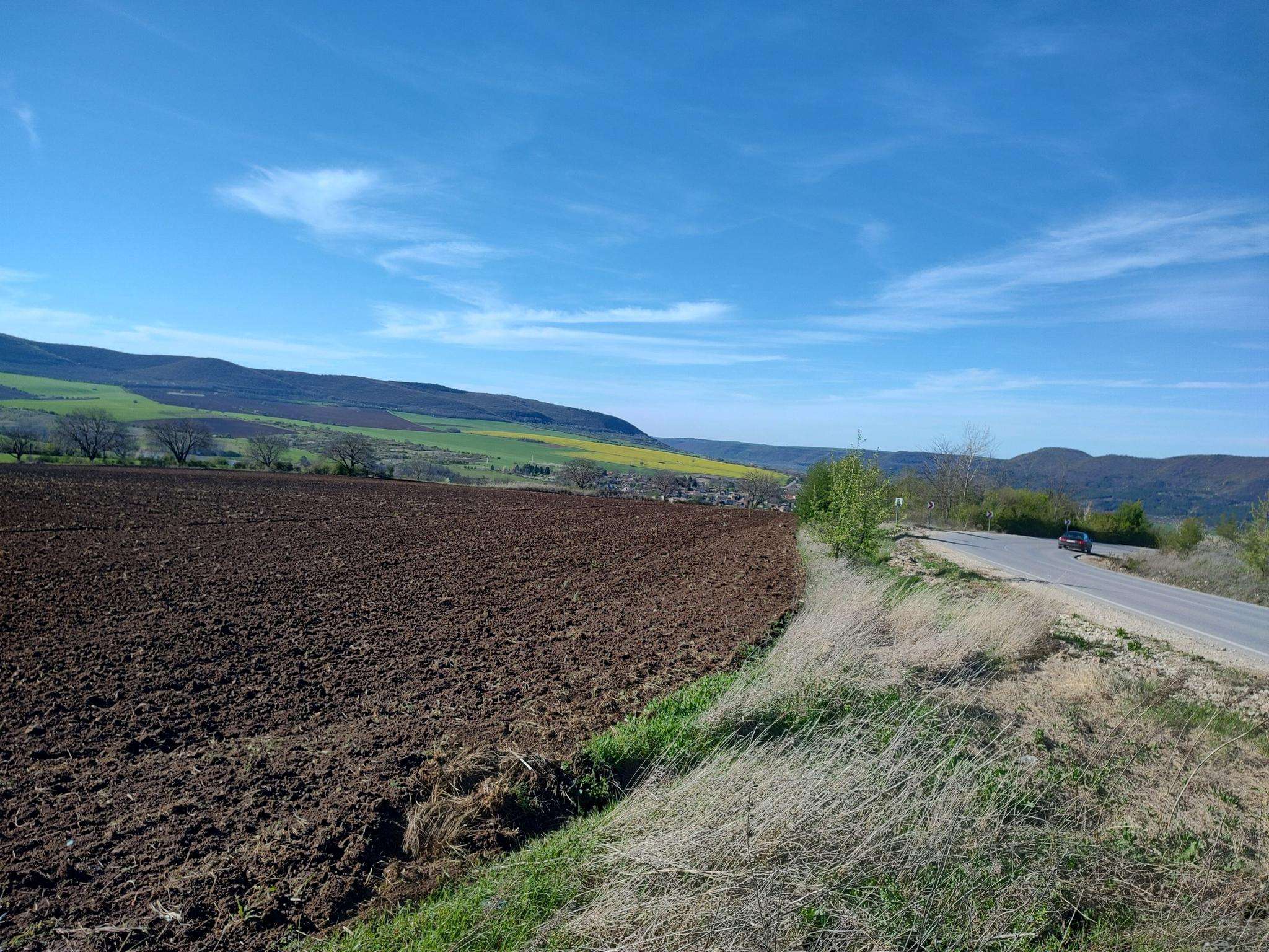
Hiking in Targovishte Region offers diverse landscapes, transitioning from the Danube Plain to the Razgrad hills and the eastern Fore Balkan Mountains. The region features varied topography, including the Preslavska Mountain, which provides numerous hiking opportunities. Hikers can explore areas characterized by forests, artificial lakes, and the steep gorge of the Vrana River. This blend of hills and mountain foothills creates a scenic environment for outdoor exploration.
Best hiking trails in Targovishte Region
- The most popular hiking route is Коджакуз – Мисионис loop from Скално образувание Коня, a 5.2 miles (8.3 km) moderate trail that takes 2 hours 47 minutes to complete. This route explores the area around the Misionis Fortress.
- Another top favourite among local hikers is Костадинов манастир loop from Osmar, an easy 4.1 miles (6.6 km) path. This trail offers views of the surrounding natural landscape and the Kostadinov Monastery.
- Local hikers also love the Mladost Hut loop from Скално образувание Коня, a 2.9 miles (4.7 km) trail leading through forested terrain, often completed in about 1 hour 34 minutes.
- Hiking in Targovishte Region is defined by the Preslavska Mountain, the Vrana River gorge, and extensive forests. The network of trails offers options for various ability levels, from easy walks to more moderate hikes.
- The routes in Targovishte Region are highly rated by the komoot community with an average score of 5.0 stars from 2 reviews. More than 30 hikers have used komoot to explore Targovishte Region's varied terrain.
Last updated: July 1, 2026
5.0
(1)
11
hikers
8.34km
02:47
420m
420m
Moderate hike. Good fitness required. Easily-accessible paths. Suitable for all skill levels.
9
hikers
6.56km
01:59
210m
210m
Easy hike. Great for any fitness level. Easily-accessible paths. Suitable for all skill levels.

Sign up for free
5
hikers
10.4km
02:55
220m
220m
Moderate hike. Good fitness required. Easily-accessible paths. Suitable for all skill levels.
1
hikers
8.77km
02:57
440m
440m
Moderate hike. Good fitness required. Easily-accessible paths. Suitable for all skill levels.
3
hikers
7.26km
02:30
380m
380m
Moderate hike. Good fitness required. Easily-accessible paths. Suitable for all skill levels.
5.0
(1)
3
hikers
4.70km
01:34
230m
230m
Easy hike. Great for any fitness level. Easily-accessible paths. Suitable for all skill levels.
3
hikers
11.6km
03:10
170m
170m
Moderate hike. Good fitness required. Easily-accessible paths. Suitable for all skill levels.
3
hikers
5.59km
01:51
260m
260m
Easy hike. Great for any fitness level. Easily-accessible paths. Suitable for all skill levels.
10.2km
02:56
220m
220m
Moderate hike. Good fitness required. Easily-accessible paths. Suitable for all skill levels.
Our route recommendations are based on thousands of hikes, rides, and runs completed by other people on komoot.
Start today with a free account
Your next adventure awaits.
Login or Signup
Popular around Targovishte Region
Frequently Asked Questions
How many hiking trails are available in the Targovishte Region?
The Targovishte Region offers a selection of hiking routes, with komoot currently listing 7 distinct trails. These range from easy walks to more moderate hikes, providing options for various skill levels and preferences.
Are there any family-friendly hiking trails in the Targovishte Region?
Yes, the region has several easy trails suitable for families. For a pleasant walk, consider the Костадинов манастир loop from Osmar, which is 6.6 km long and offers views of the surrounding natural landscape. Another good option is the shorter Mladost Hut loop from Скално образувание Коня, covering 4.7 km through forested terrain.
What kind of terrain can I expect on hikes in the Targovishte Region?
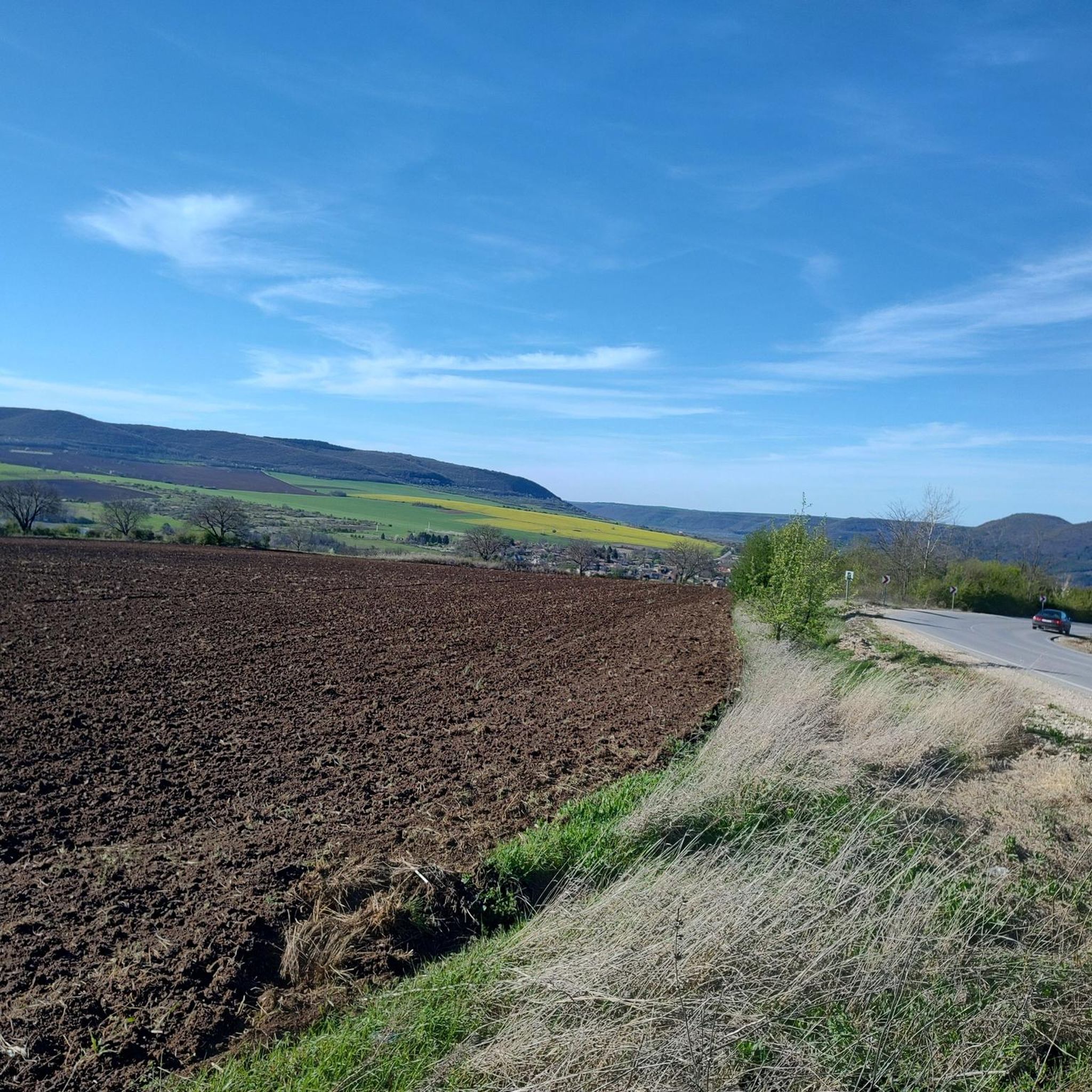
The Targovishte Region is characterized by diverse terrain, transitioning from the Danube Plain to the Razgrad hills and the eastern Fore Balkan Mountains. You can expect a blend of gentle hills and more rugged mountain foothills, particularly in the Preslavska Mountain area. Trails often lead through forests, past artificial lakes, and along the steep gorge of the Vrana River, offering varied landscapes.
Are there any circular hiking routes available?
Yes, many of the trails in the Targovishte Region are designed as loops, allowing you to start and end at the same point. Examples include the popular Коджакуз – Мисионис loop from Скално образувание Коня, which explores the area around the Misionis Fortress, and the Яз. Пчелина 2 loop from х. Пчелина, offering a moderate 10.3 km hike around the Pchelina Dam.
What natural landmarks or points of interest can I see while hiking?
The region boasts several notable natural features. The unique 'White Horse' natural formation, a landslide-exposed scar resembling a horse, is located at the base of the hills south of Targovishte. You might also encounter the scenic Boaza Waterfall, which adds to the natural beauty of the area. Many trails also offer views of the Vrana River gorge and the extensive forests.
Are there any historical sites accessible via hiking trails?
Absolutely. The Misionis Fortress is a significant historical site located 7 km from Targovishte, overlooking the Vrana River gorge. Several hiking paths lead to and around these ruins, allowing you to combine cultural exploration with scenic walks. The Х. Соколите – Мисионис loop from Скално образувание Коня is one such route that takes you past this historic landmark.
What is the typical duration for hikes in the Targovishte Region?
Hikes in the region vary in length and duration. Shorter, easy trails like the Mladost Hut loop from Скално образувание Коня can be completed in about 1 hour 34 minutes. Moderate routes, such as the Коджакуз – Мисионис loop, typically take around 2 hours 47 minutes. Longer moderate hikes, like the Търнов табия loop from Shumensko Plato, can take closer to 3 hours 10 minutes.
Are there any trails that offer good viewpoints?
Given the region's varied topography, including the Preslavska Mountain and parts of the Fore Balkan Mountains, many trails offer elevated sections with scenic viewpoints. Routes that traverse higher ground or follow ridges, such as those around the Misionis Fortress or leading to Mladost Hut, are likely to provide expansive views of the surrounding forests and valleys.
What do other hikers say about the trails in Targovishte Region?
The routes in Targovishte Region are highly rated by the komoot community, with an average score of 5.0 stars from 2 reviews. Hikers often praise the diverse landscapes, the blend of gentle hills and more rugged terrain, and the opportunity to combine nature with historical exploration.
Is there public transport access to hiking trailheads?
While specific public transport routes directly to all trailheads are not extensively detailed, the city of Targovishte serves as a central hub. From there, local transport or short taxi rides might be necessary to reach some of the more remote starting points. It's advisable to check local schedules for the most up-to-date information.
What is the best time of year to go hiking in the Targovishte Region?
The Targovishte Region offers pleasant hiking conditions during spring, summer, and autumn. Spring brings lush greenery and blooming wildflowers, while autumn showcases vibrant foliage. Summer is generally warm, ideal for early morning or late afternoon hikes. Winter hiking is possible but may require appropriate gear for snow and colder temperatures, especially in higher elevations.
Most popular routes in Targovishte Region

Get inspired with the komoot mobile app


Explore more
Browse the best Hikes in other regions.
