The best mountain hikes around Wyhl
5.0
(4)
12
hikers
5
hikes
Mountaineering routes around Wyhl offer access to diverse landscapes, situated in the Rhine Plain with convenient proximity to both the Black Forest in Germany and the Vosges Mountains in France. The immediate area around Wyhl features the Kaiserstuhl hills, characterized by vineyards and volcanic formations, providing local elevation. For more challenging ascents, the nearby mountain ranges present rugged terrain and significant elevation gains suitable for varied mountaineering experiences.
Best mountaineering routes around Wyhl
- The most popular mountaineering route is Neunlinden…
Last updated: August 23, 2026
4
hikers
Moderate mountaineering route. Good fitness required. Easily-accessible paths. Suitable for all skill levels.
4
hikers
Moderate mountaineering route. Good fitness required. Easily-accessible paths. Suitable for all skill levels.

Sign up for free
5.0
(1)
1
hikers
8.01km
02:30
310m
310m
Moderate mountaineering route. Good fitness required. Easily-accessible paths. Suitable for all skill levels.
5.0
(1)
1
hikers
8.09km
02:27
260m
260m
Moderate mountaineering route. Good fitness required. Easily-accessible paths. Suitable for all skill levels.
5.0
(1)
1
hikers
17.9km
05:23
560m
560m
Hard mountaineering route. Very good fitness required. Mostly accessible paths. Sure-footedness required.
Our route recommendations are based on thousands of hikes, rides, and runs completed by other people on komoot.
Start today with a free account
Your next adventure awaits.
Login or Signup
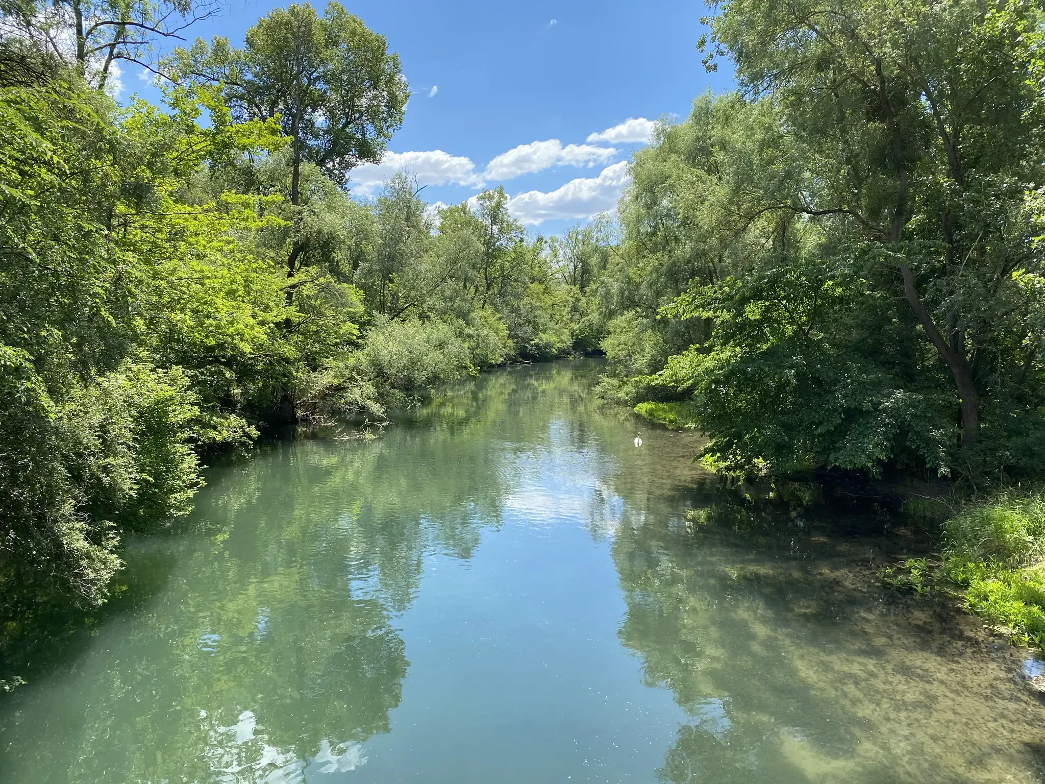
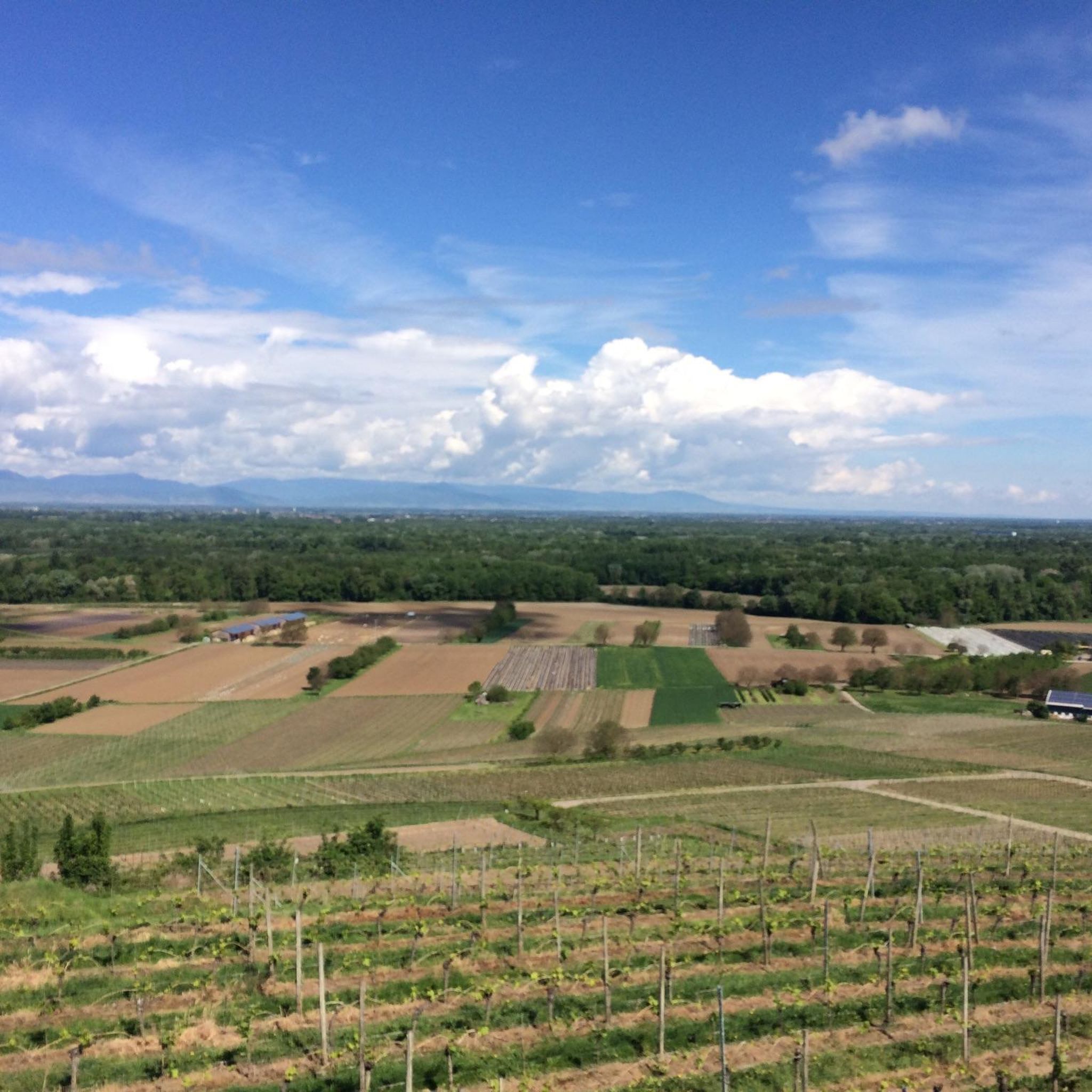
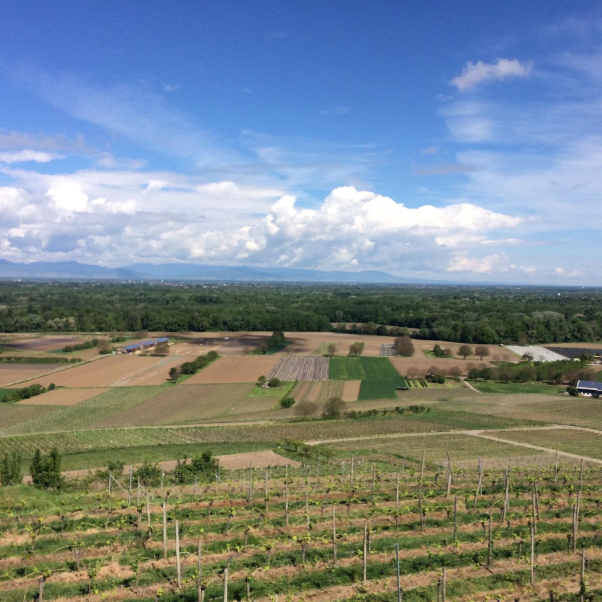
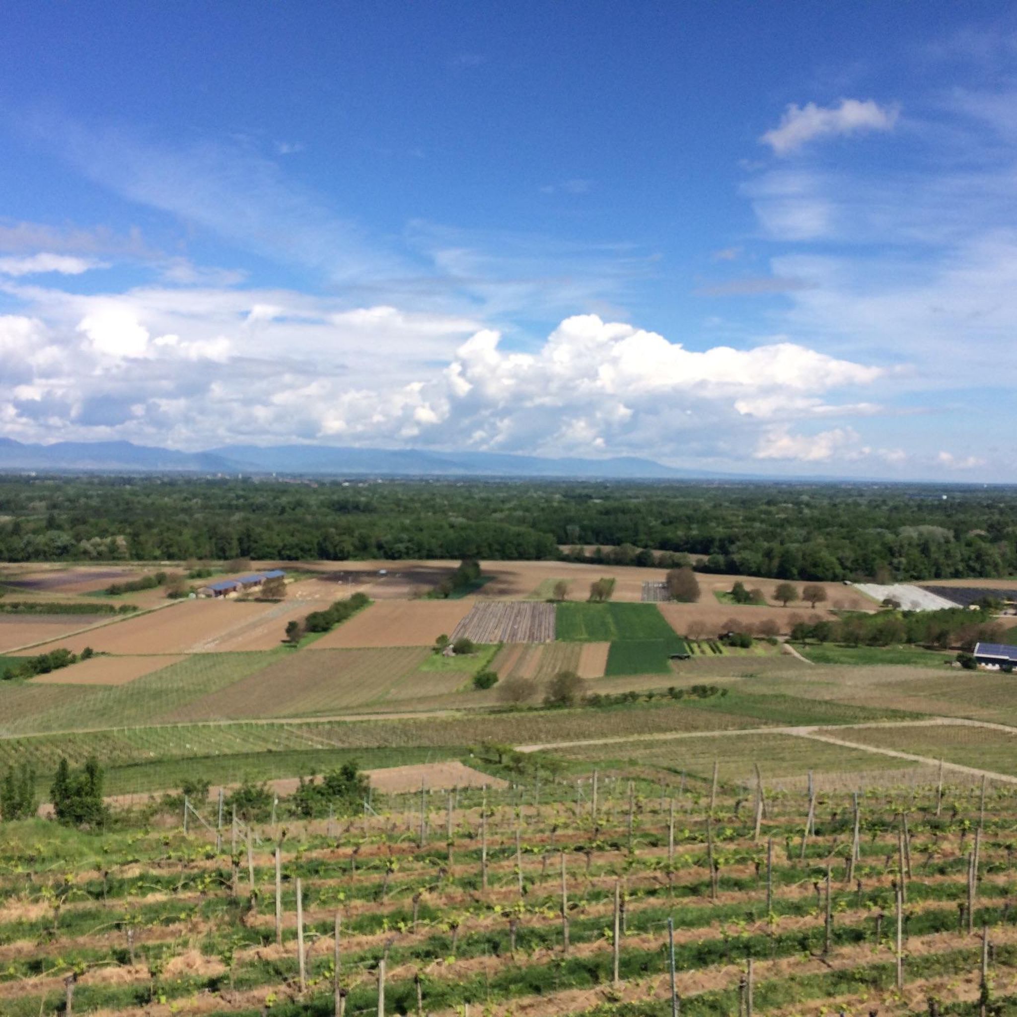
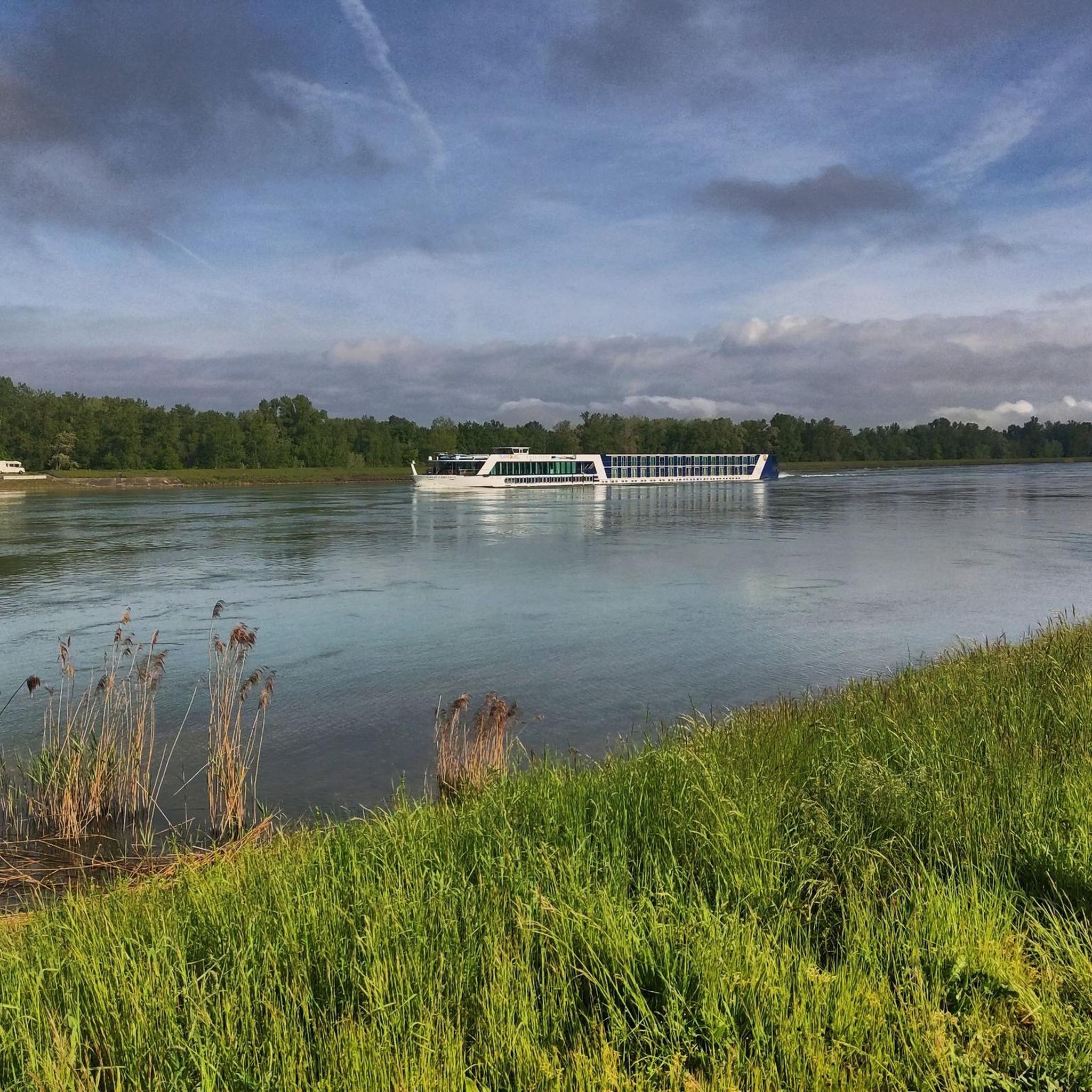
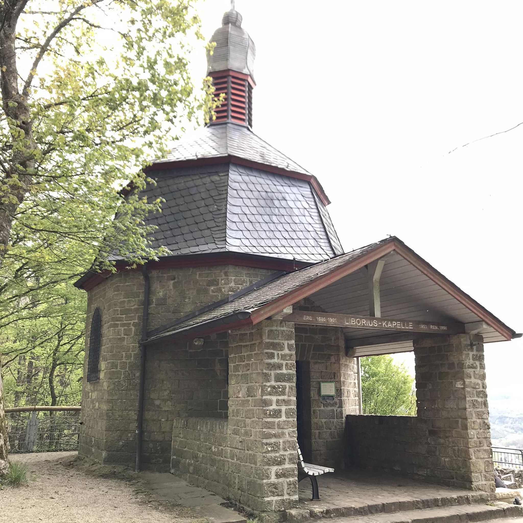
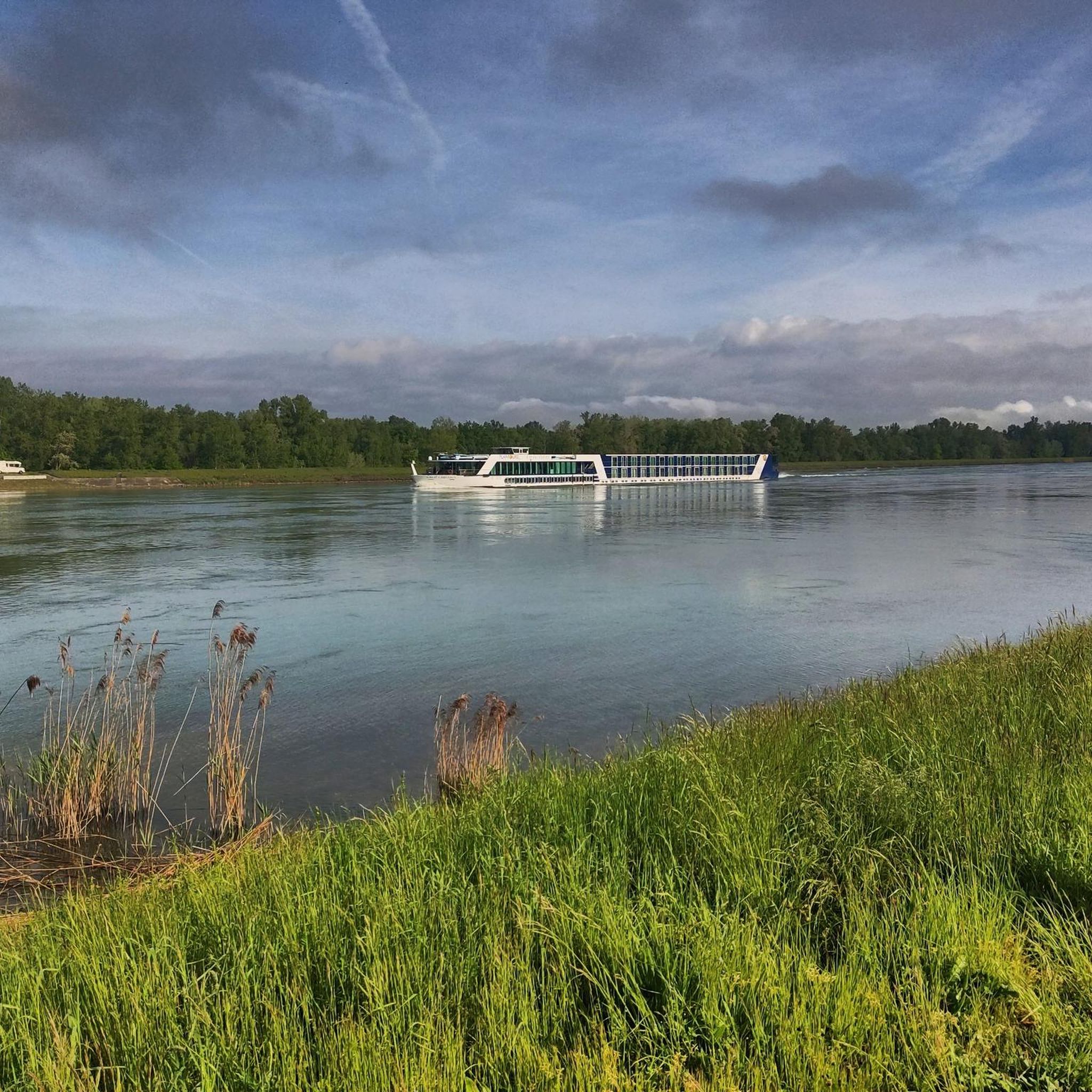
Other adventures around Wyhl

Tips from the Community

Beautiful place with a great view over the mountain ridges and the Rhine plain.
0
0

The legendary pass on the Kaiserstuhl. A must for every road bike fan
0
0

A very beautiful and deep hollow lane, especially at the upper end, very overgrown and nice to walk through - definitely a better alternative to the main path running parallel.
1
0
A very beautiful path through the forest up the Totenkopf to the Neulindenturm. The steep and somewhat rocky climb is much more enjoyable than the wide path from the south, which I then continued on.
1
0

The Texas Pass connects the two towns of Oberbergen and Kiechlinsbergen in the Kaiserstuhl region. The connecting road was named Texas Pass because of its distinctive switchbacks.
0
0

just stop and enjoy
1
0

Highest point point around, worth the visit for the view!
0
0
Highest point of the Kaiserstuhl offering great views, and a perfect road to enjoy a decline on either bike.
0
0
Frequently Asked Questions
What types of mountaineering routes can I find around Wyhl?
Wyhl offers access to a diverse range of mountaineering experiences. You'll find routes in the rolling Kaiserstuhl hills, which are closer to Wyhl, as well as more rugged terrain in the nearby Black Forest and the granite cliffs of the Vosges Mountains in France. The routes vary from moderate ascents to more difficult, longer excursions.
Are there any challenging mountaineering routes near Wyhl?
Yes, for those seeking a challenge, the region provides several demanding options. The Neunlinden Tower – Totenkopf Observation Tower loop from Ohrberg is a difficult 11-mile (17.7 km) route with significant elevation gain and panoramic views. Further afield, the Black Forest offers trails on Feldberg, and the Vosges Mountains feature the Spitzkoepfe Ridge, known for its scrambling sections.
Can I find easier or moderate mountaineering routes suitable for beginners?
Absolutely. Many routes in the Kaiserstuhl region are well-suited for those looking for moderate ascents. For example, the Texas Pass (Texaspass) – Weinlauben Street in Oberbergen loop from Oberrotweil is a moderate 7.2-mile (11.5 km) path winding through scenic vineyards. Another moderate option is the Vogelsang Pass Viewpoint – Neunlinden Tower loop from Kaiserstuhl, which is about 5.1 miles (8.2 km) long.
Are there circular mountaineering routes available?
Yes, all the mountaineering routes listed in this guide are circular, allowing you to start and end at the same point. This includes routes like the Texas Pass (Texaspass) – Weinlauben Street in Oberbergen loop from Kaiserstuhl and the Liliental Arboretum Trail – Neunlinden Tower loop from Kaiserstuhl.
What interesting sights or natural features can I expect to see along the routes?
The routes around Wyhl offer a variety of attractions. In the Kaiserstuhl hills, you'll encounter picturesque vineyards and volcanic formations. You can also explore several mountain passes, such as the Texaspass (Auf dem Eck) and Vogelsang Pass. The area also features unique geological formations like the Romantic sunken lane in the Liliental and various loess hollow ways.
What do other mountaineers say about the routes around Wyhl?
The mountaineering routes around Wyhl are highly regarded by the komoot community, holding an average rating of 5.0 stars. Users frequently praise the diverse landscapes, from the vineyards of Kaiserstuhl to the more challenging ascents and panoramic views offered by the nearby Black Forest and Vosges Mountains.
What are the best times of year for mountaineering in this region?
The spring, summer, and autumn months generally offer the most favorable conditions for mountaineering around Wyhl. During these seasons, trails are typically clear, and the weather is more stable. While winter mountaineering is possible, especially in higher elevations of the Black Forest and Vosges, it requires appropriate gear and experience due to snow and ice conditions.
Are there any specific gear recommendations for mountaineering in this area?
Given the varied terrain, sturdy hiking boots with good ankle support are essential. For routes in the Black Forest or Vosges, especially those with scrambling sections like the Karlsruher Grat or Spitzkoepfe Ridge, a head for heights and potentially technical equipment might be necessary. Always carry sufficient water, snacks, and appropriate layers for changing weather conditions.
Is public transport available to reach the starting points of mountaineering routes?
While Wyhl itself is in the Rhine Plain, accessing the more challenging mountaineering routes in the Black Forest or Vosges Mountains often requires a car. Some local routes in the Kaiserstuhl area might be reachable by regional buses, but it's advisable to check local public transport schedules for specific starting points.
Where can I find parking for mountaineering routes near Wyhl?
For routes within the Kaiserstuhl region, you can typically find parking in the villages near the trailheads, such as Oberrotweil or Kaiserstuhl. When venturing into the Black Forest or Vosges Mountains, designated parking areas are usually available at popular starting points like Feldberg or near Lac Blanc. It's always a good idea to check specific route descriptions for parking information.
Are there any permits required for mountaineering in the Black Forest or Vosges Mountains?
Generally, no specific permits are required for hiking or mountaineering on marked trails in the Black Forest or Vosges Mountains. However, if you plan to engage in activities like rock climbing in designated areas such as Martinswand, specific regulations or access rules might apply. Always respect local signage and protected areas. For the Black Forest National Park, you can find more information on their guidelines.
Are there opportunities for guided mountaineering tours in the region?
While this guide focuses on self-guided routes, the popularity of the Black Forest and Vosges Mountains means that local tourism offices and outdoor activity providers in larger towns often offer guided hiking and mountaineering tours. These can be a great option for those new to the area or seeking expert guidance on more challenging terrain.
Most popular attractions around Wyhl

Get inspired with the komoot mobile app


Explore more
Browse the best Mountain Hikes & Routes in other regions.
