The best mountain hikes around Dechantskirchen
4.8
(4)
63
hikers
8
hikes
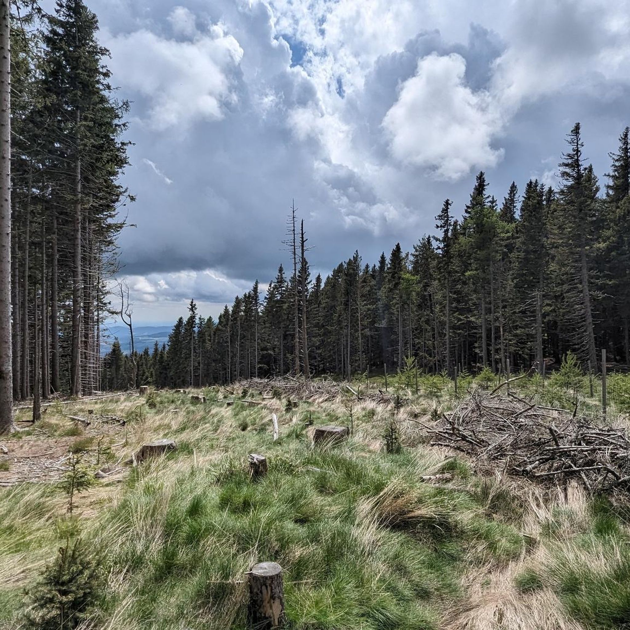
Mountaineering routes around Dechantskirchen are set within the Hartberg-Fürstenfeld district of Styria, Austria, characterized by rolling hills, lush meadows, and dense forests. The region is part of the Wechsel mountain range, offering diverse terrain from gentle ascents to more demanding mountain hikes. The prominent Hochwechsel mountain, at 1,743 meters, provides significant elevation, while the Hochkogel (1,314 m) marks the southernmost "thousand-meter mountain" within the municipality's territory.
Best mountaineering routes around Dechantskirchen
- The most popular mountaineering route is Hochwechsel Summit –…
Last updated: May 17, 2026
16
hikers
Moderate mountaineering route. Good fitness required. Mostly accessible paths. Sure-footedness required.
4.0
(1)
9
hikers
Moderate mountaineering route. Good fitness required. Mostly accessible paths. Sure-footedness required.

Sign up for free
11
hikers
22.6km
07:05
870m
870m
Hard mountaineering route. Very good fitness required. Easily-accessible paths. Suitable for all skill levels.
5.0
(1)
9
hikers
Moderate mountaineering route. Good fitness required. Easily-accessible paths. Suitable for all skill levels.
5.0
(1)
8
hikers
Hard mountaineering route. Very good fitness required. Easily-accessible paths. Suitable for all skill levels.
Get access to more routes and recommendations from other explorers.
Sign up for free
Already have an account?
Our route recommendations are based on thousands of hikes, rides, and runs completed by other people on komoot.
Start today with a free account
Your next adventure awaits.
Login or Signup
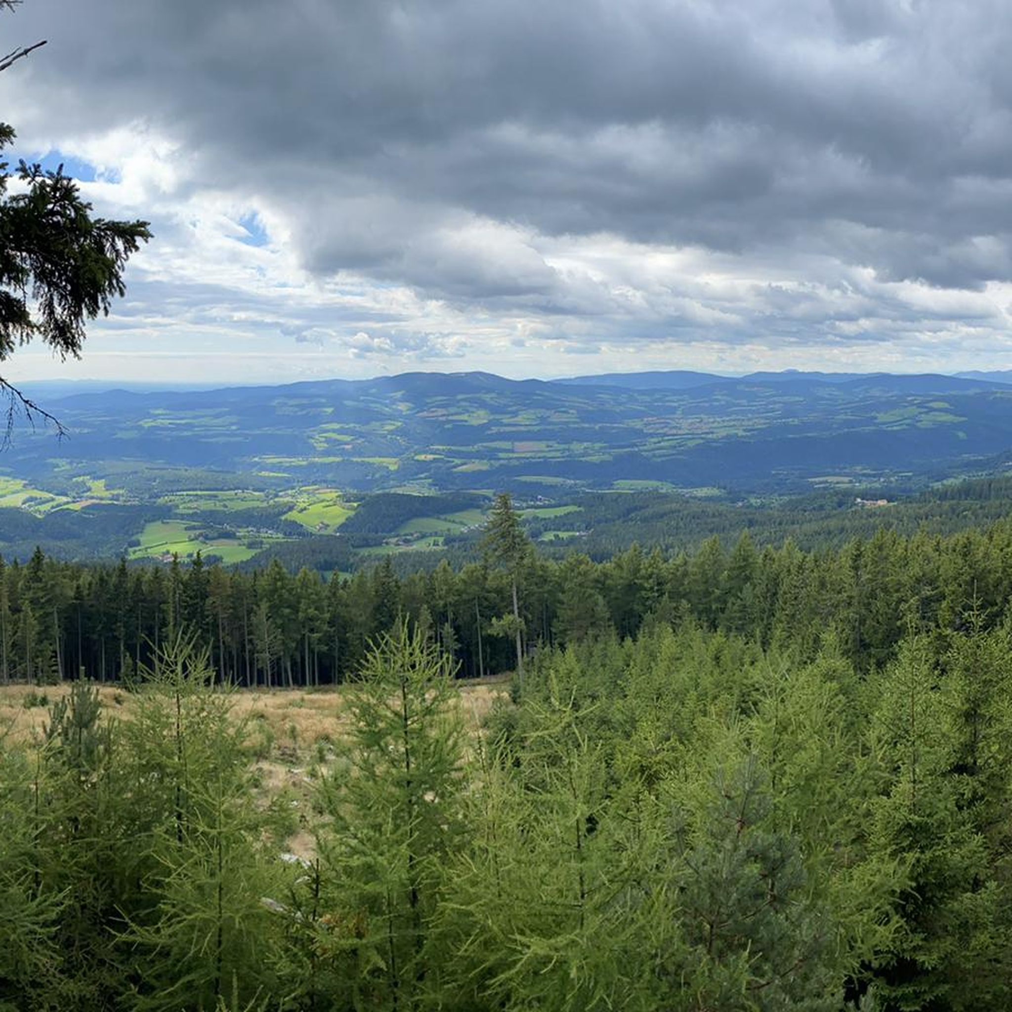
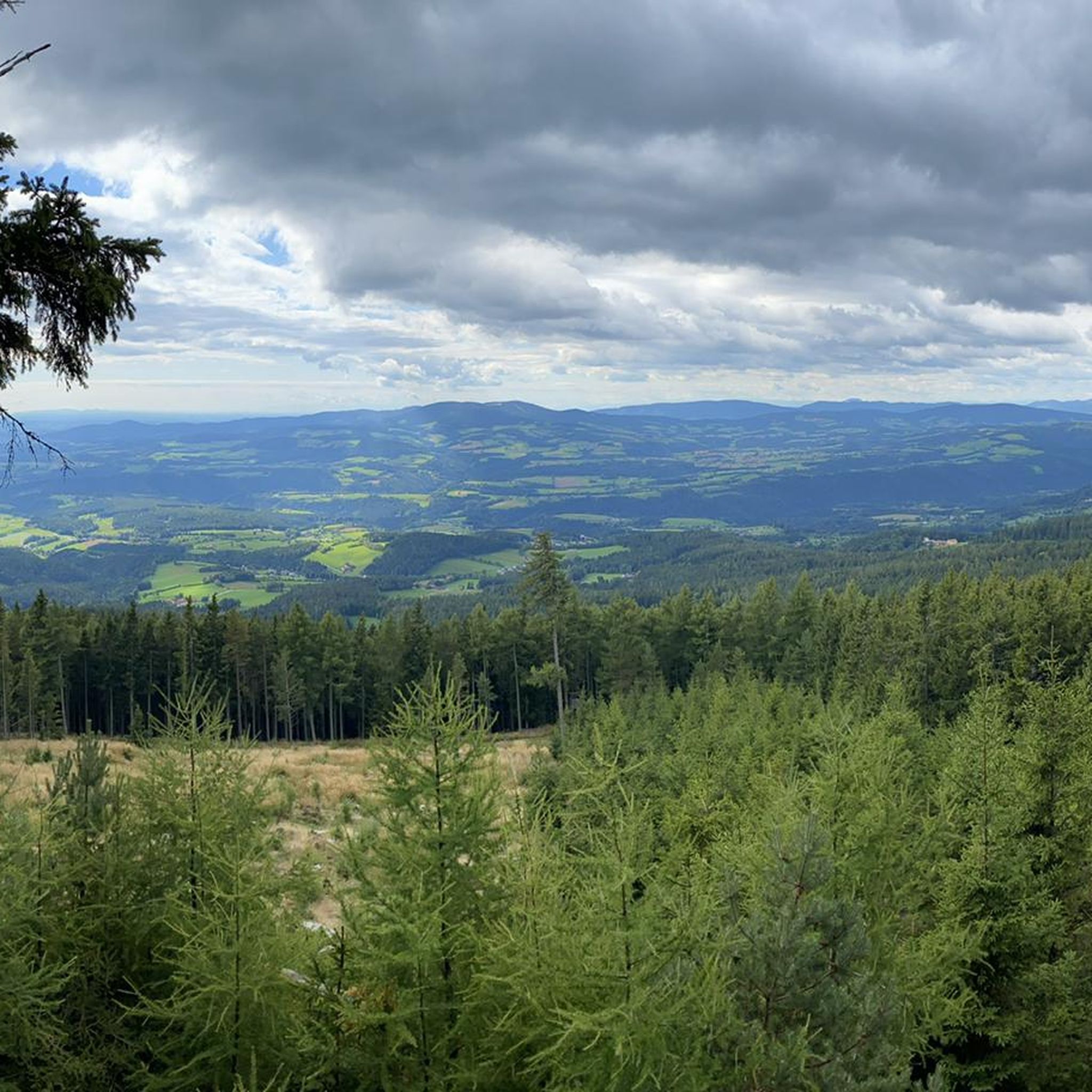
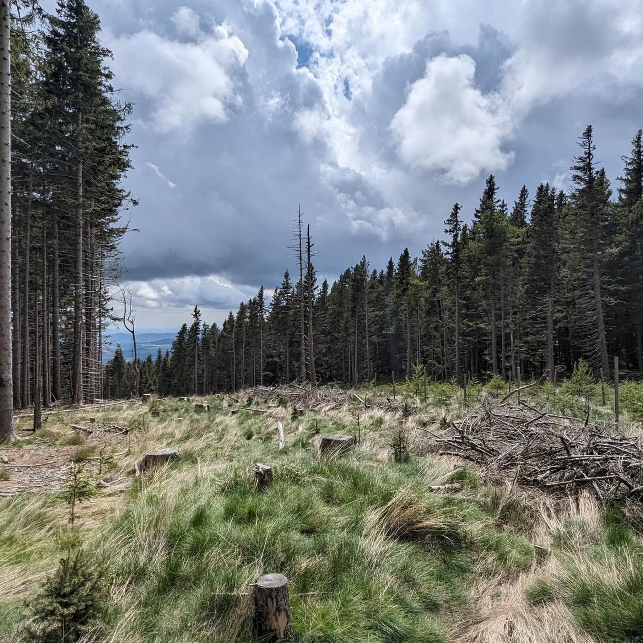
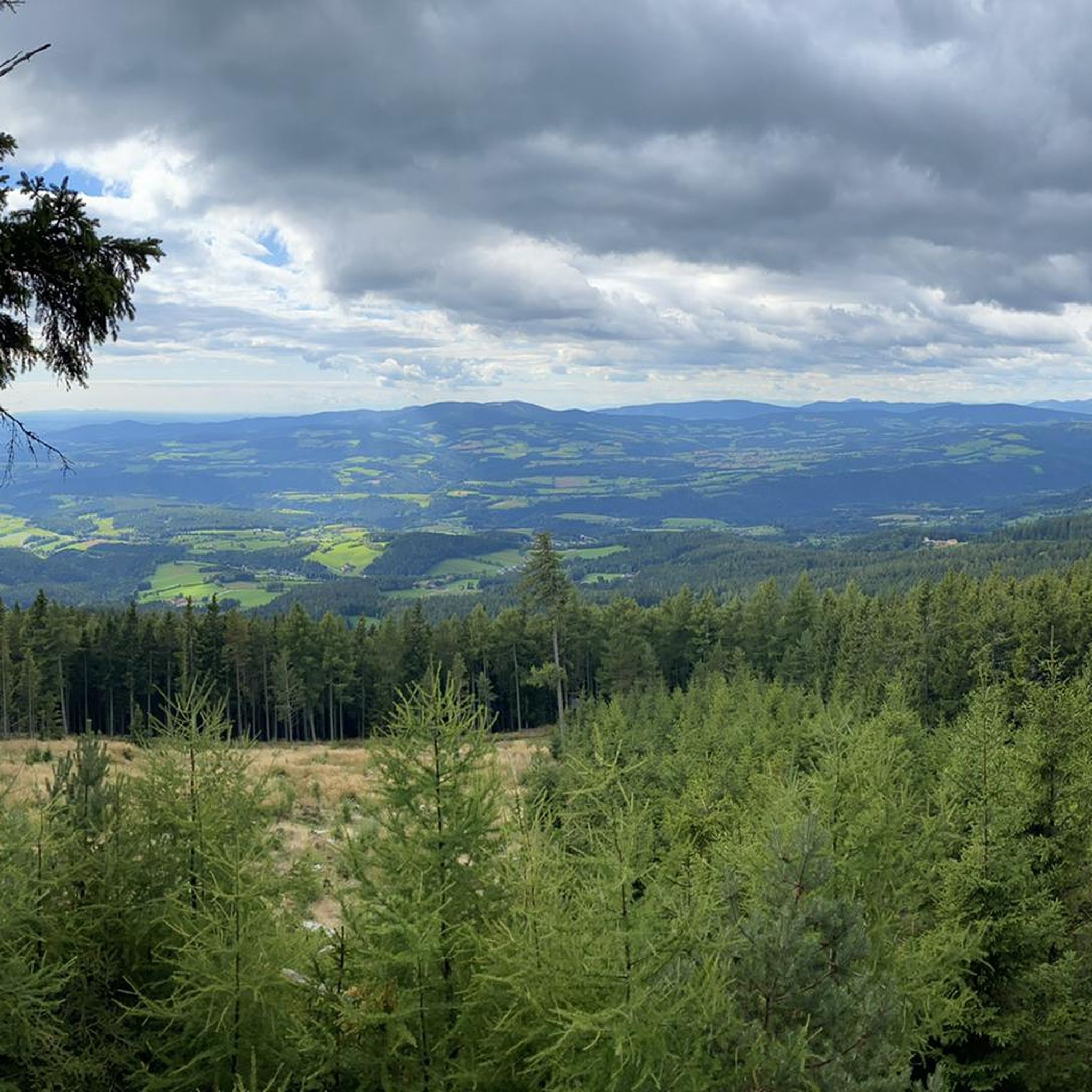

Tips from the Community

Beautiful location, good place to stop for a break, right next to the mountain bike trails and the start of the "Haller Trail".
0
0

A knife was stuck in front of the memorial stone. We used it for our own purposes and then returned it to the memorial stone for future visitors to this murder scene.
0
0

A super nice tour highly recommended
3
1

The Alpenhotel Enzian, with its own swimming pond, is the ideal starting point for varied mountain bike adventures. Nestled in the idyllic landscape of the Mönichkirchner Schwaig, you can enjoy a wonderful cycling holiday with your family. Access to the Wexl Trails and EuroVelo 9 is right on your doorstep. If you're looking for relaxation after your tour, you can find it in the hotel's wellness area with sauna or with a delicious dinner. Additional amenities such as a pick-up and drop-off service, luggage transport, an e-bike charging station, and a rich breakfast buffet round out the offer. More information and contact details for the accommodation can be found at https://www.wieneralpen.at/bett-und-bike-alpenhotel-enzian.
0
0

The mountain ridge of the Wechsel stretches for over 15 km - the eastern Austrian low mountain range on the border between Lower Austria and Styria 🌲 Its three most lofty peaks each rise over 1,700 m ⛰️ Thanks to its mountain landscapes, which range from lovely to challenging, the Wechsel is considered a hiking destination for families on the one hand - and a local recreation area for experienced hikers and climbers on the other 🥾 The Hochwechsel, as the highest peak, offers particularly worthwhile views: the panoramic view stretches from Semmering and Rax to the Schneeberg 🌄 In good weather, even Burgenland, Styria, Hungary and Slovenia can be seen 😎 From mid-May to mid-November, a wonderful rest in the Wetterkoglerhaus is also tempting 🧃 www.wieneralpen.at/ausflugsziel-in-den-wiener-alpen-entdecken/a-hochwechsel-im-wechselgebirge
10
0
The Hochwechsel summit not only offers an impressive panoramic view of the surrounding landscape of Styria and Lower Austria, but is also known for its picturesque chapel, which invites visitors to reflect and relax 🌄 Inside, the chapel surprises with colorful paintings, coats of arms and inscriptions that are painted directly onto the wood of the dome and reach all the way to the top ⛪ Source www.steiermark.com/de/Oststeiermark/Urlaub-planen/Ausflugsziele/Hochwechsel-Gipfel_isd_42403458
9
0
Altitude 📕 1743 m Rooms/beds 📗 9 Mattresses 📘 26 Winter room 📙 The winter room is not locked (3 places, heated). 3 places, electric fan heater with coin slot, no cooking facilities. Emergency room 📓 The emergency room is unlocked. Is the same as the winter room. www.alpenverein.at/wetterkoglerhaus
8
0
Frequently Asked Questions
How many mountaineering routes are available around Dechantskirchen?
There are currently 8 mountaineering routes listed around Dechantskirchen, offering a range of experiences from moderate to difficult. These trails are set within the picturesque rolling hills, lush meadows, and dense forests of the Wechsel mountain range.
What kind of terrain can I expect on mountaineering routes in Dechantskirchen?
The terrain around Dechantskirchen is diverse, characterized by picturesque rolling hills, lush green meadows, and dense forests. You'll find paths traversing wide mountain meadows and some areas with loose terrain. The region is part of the Wechsel mountain range, with the prominent Hochwechsel mountain offering significant elevation and challenging ascents.
Are there any challenging mountaineering routes for experienced hikers?
Yes, Dechantskirchen offers several challenging routes. For instance, the Hallerhaus Mountain Lodge – Vorauer Schwaig Alm loop from Mönichkirchen is a difficult 14.0-mile (22.6 km) path that traverses varied mountain terrain. Another demanding option is the Hochwechsel – Marienseer Schwaig loop from Katastralgemeinde Neustift am Alpenwald, a difficult 17.6 km route with significant elevation gain.
What are some notable landmarks or natural features to see along the mountaineering routes?
Many routes lead to the iconic Hochwechsel summit, where you can find the Chapel and summit cross on the Hochwechsel, offering breathtaking panoramic views. You might also encounter the Wechselgraben Waterfall or the unique Wise Man in Stone (Hochwechsel). Mountain huts like the Hallerhaus Mountain Lodge and Wetterkogler House are also popular points of interest.
Are there any circular mountaineering routes in the area?
Yes, many of the mountaineering routes around Dechantskirchen are designed as loops. For example, the Hochwechsel Summit – Chapel on Hochwechsel loop from Katastralgemeinde Neustift am Alpenwald is a moderate 7.0-mile (11.3 km) circular trail. Another option is the Trail Sign at Hochwechsel – Hochwechsel Trail Sign loop from Waldbach-Mönichwald, which is a moderate 7.9-mile (12.7 km) loop.
What is the best time of year for mountaineering in Dechantskirchen?
The best time for mountaineering in Dechantskirchen is generally from late spring to early autumn (May to October), when the weather is most favorable for hiking. During these months, you can enjoy the lush landscapes and clear panoramic views. While winter mountaineering is possible, conditions can be challenging with snow and ice, requiring appropriate gear and experience.
Are there any family-friendly mountaineering options?
While many routes involve significant elevation, some sections or shorter trails might be suitable for families with older children who are accustomed to hiking. The region offers a range of experiences, from gentle walks through pastoral settings to more demanding ascents. It's best to check the difficulty and length of individual routes to ensure they match your family's fitness level.
Can I bring my dog on the mountaineering trails?
Generally, dogs are welcome on hiking trails in Styria, but it's always advisable to keep them on a leash, especially in areas with livestock or wildlife. Be sure to check local regulations for specific routes or protected areas, and always carry water for your dog.
Are there mountain huts or places to rest along the routes?
Yes, the region is well-equipped with mountain huts that provide rest and refreshments. Notable huts include the Hallerhaus Mountain Lodge and the Wetterkogler House on Hochwechsel, which are popular stops for hikers. The Rabl-Kreuz-Hütte is another notable mountain hut on the way to Hochwechsel.
What do other mountaineers enjoy most about the routes in Dechantskirchen?
The mountaineering routes in Dechantskirchen are highly rated by the komoot community, with an average score of 4.7 stars. Users often praise the diverse natural features, from rolling hills and lush meadows to dense forests, and the rewarding summit experiences with breathtaking panoramic views from peaks like Hochwechsel.
Is public transport available to reach the trailheads?
While specific public transport options directly to every trailhead might be limited, Dechantskirchen is part of a regional network. It's recommended to research local bus services or regional transport links that connect to the villages or starting points of the trails. Planning ahead is key for using public transport in this mountainous region.
Are there any permits required for mountaineering in this area?
Generally, no specific permits are required for hiking or mountaineering on the established trails in the Wechsel region around Dechantskirchen. However, always respect private property, follow marked paths, and adhere to any local signage regarding access or protected areas.
Most popular routes around Dechantskirchen
Most popular attractions around Dechantskirchen

Get inspired with the komoot mobile app


Explore more
Browse the best Mountain Hikes & Routes in other regions.
