The best mountain hikes around Herzogsdorf
20
hikers
6
hikes
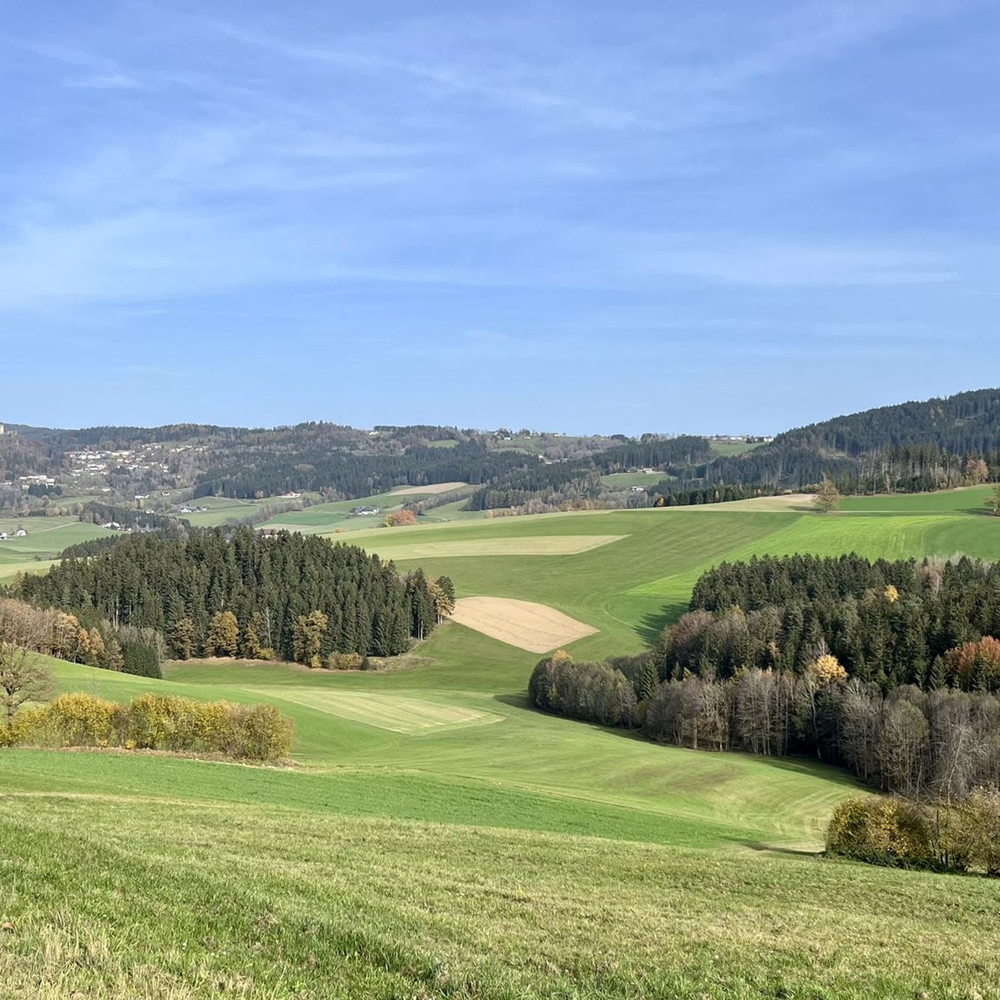
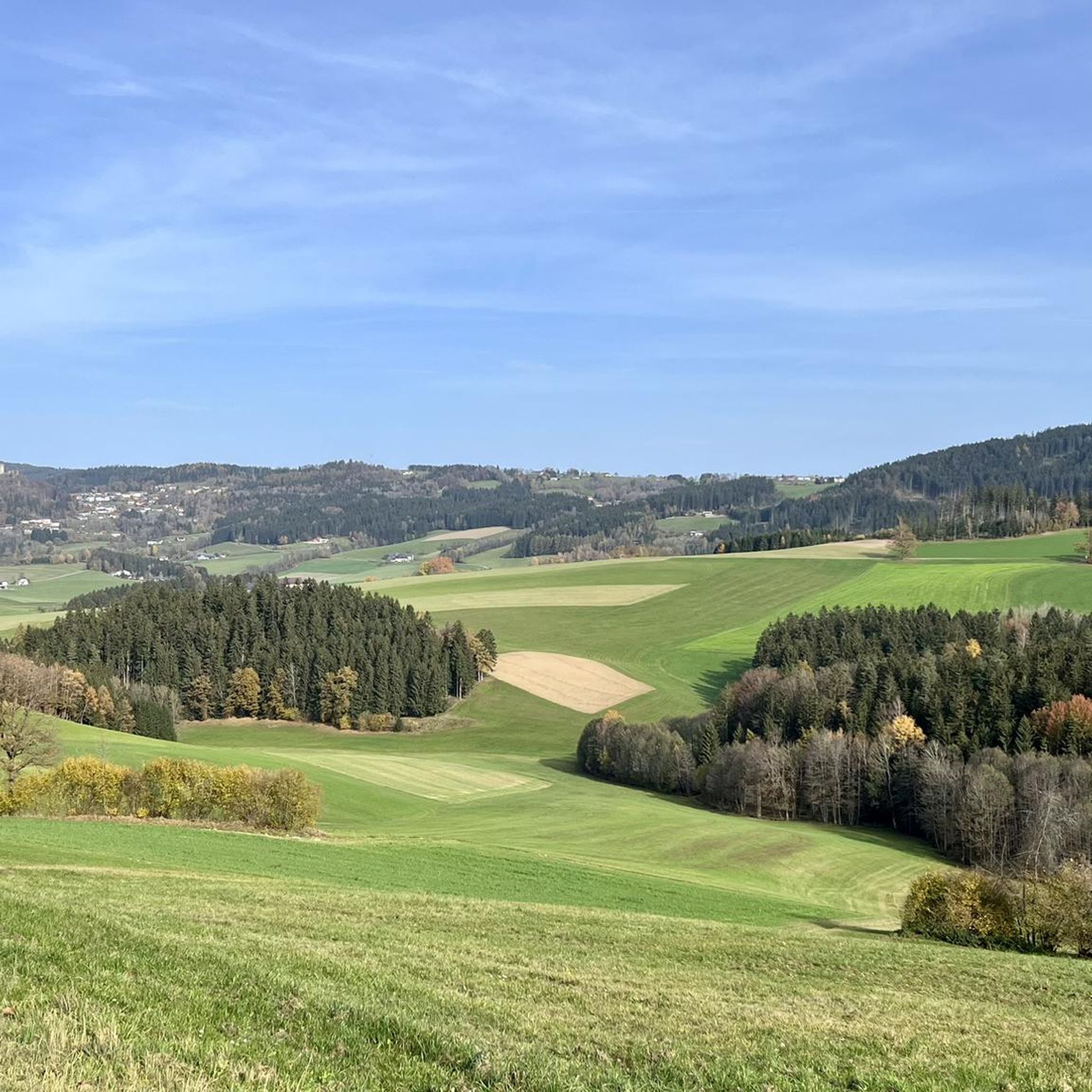
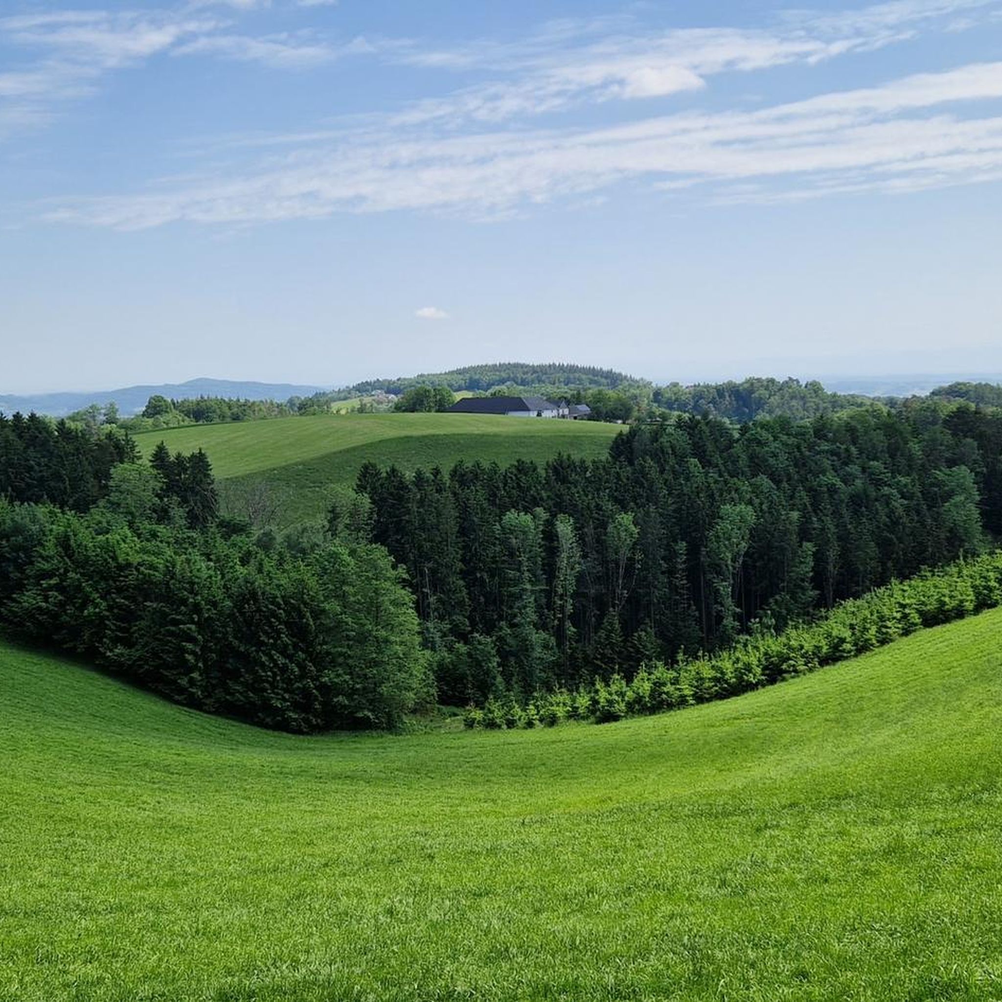
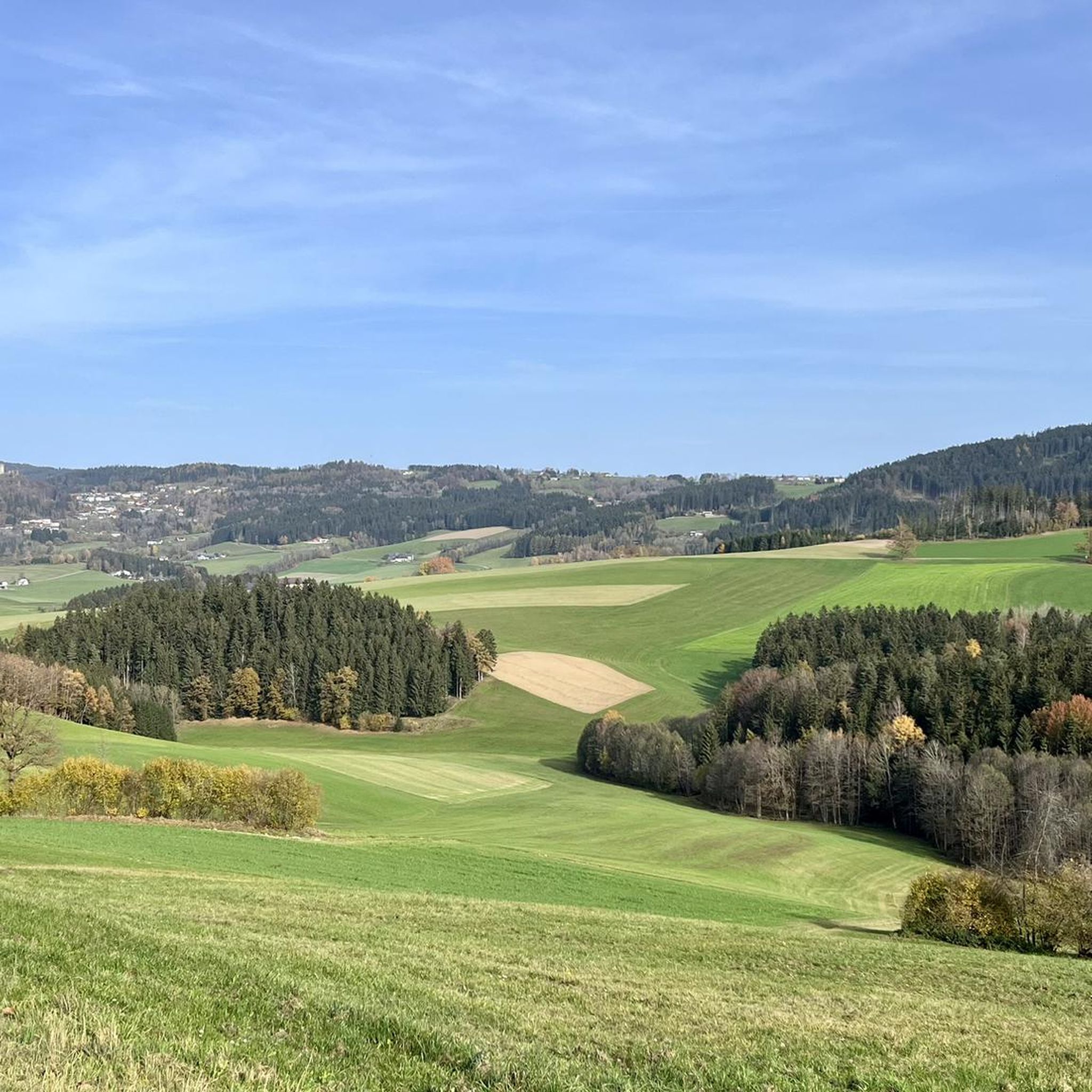
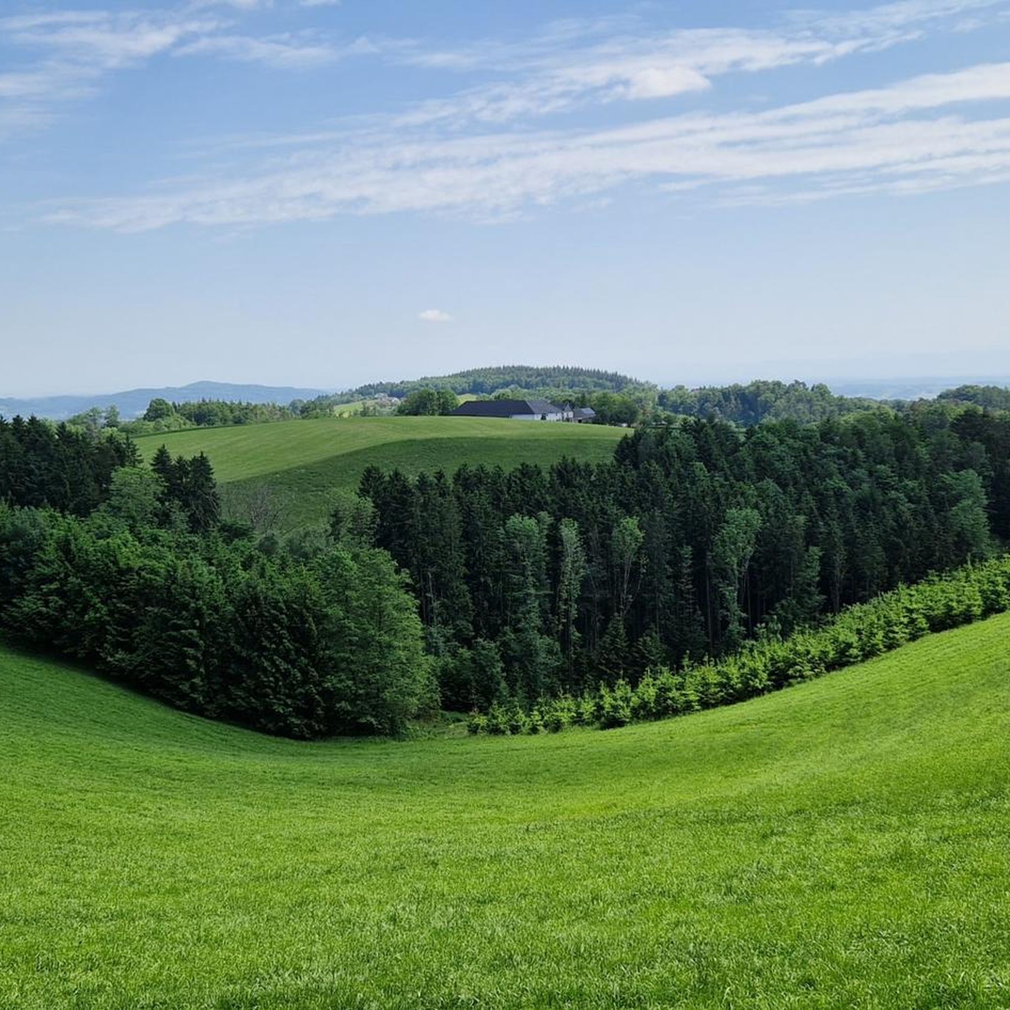
Mountaineering routes around Herzogsdorf traverse a diverse landscape characterized by hilly terrain and natural features. The region offers numerous established trails with significant elevation gains, indicating a varied vertical relief suitable for elevated treks. These routes often lead through areas with "Natural Monuments" and "Mountain Peaks," providing a compelling environment for outdoor activities. The infrastructure includes both easily accessible paths and more challenging trails.
Best mountaineering routes around Herzogsdorf
- The most popular mountaineering route is Green Pond – Pesenbachsteig Trail loop from Ruine Oberwallsee, a 4.8 miles (7.7 km) trail that takes 2 hours 11 minutes to complete. This moderate route features varied terrain and elevation changes.
- Another top favourite among local mountaineers is Waxenberg Castle Ruins – St. Veit Church in Mühlkreis loop from St. Veit im Mühlkreis, a moderate 5.3 miles (8.5 km) path. This route offers views of historical sites and the surrounding countryside.
- Local mountaineers also love the Zur Gis Inn – Giselawarte loop from Lichtenberg, a 5.4 miles (8.6 km) trail leading through varied landscapes, often completed in about 2 hours 40 minutes.
- Mountaineering around Herzogsdorf is defined by diverse landscapes, hilly terrain, and established trails. The network offers options for different ability levels, from moderate treks to more demanding routes.
- The guide includes highly-rated routes that showcase the best of the region's landscape. More than 20 mountaineers have used komoot to explore Herzogsdorf's varied terrain.
Last updated: June 29, 2026
9
hikers
7.74km
02:12
180m
180m
Moderate mountaineering route. Good fitness required. Easily-accessible paths. Suitable for all skill levels.
3
hikers
Moderate mountaineering route. Good fitness required. Easily-accessible paths. Suitable for all skill levels.

Sign up for free
3
hikers
Moderate mountaineering route. Good fitness required. Easily-accessible paths. Suitable for all skill levels.
2
hikers
8.65km
02:40
310m
310m
Moderate mountaineering route. Good fitness required. Easily-accessible paths. Suitable for all skill levels.
2
hikers
16.5km
04:56
520m
520m
Moderate mountaineering route. Good fitness required. Easily-accessible paths. Suitable for all skill levels.
Our route recommendations are based on thousands of hikes, rides, and runs completed by other people on komoot.
Start today with a free account
Your next adventure awaits.
Login or Signup

Tips from the Community

The summit cross on the Gis (Lichtenberg) was completely renewed and re-consecrated in June 2026!
3
0
The Giselawarte was built in 1856 and named after Princess Gisela, a daughter of Emperor Franz Joseph. In 1960, it was extended by two floors.
3
0
Giselawarte was built in 1856 and named after Princess Gisela, a daughter of Emperor Franz Joseph. In 1960, it was increased by two stories.
3
0
Built in 1856 and named after Princess Gisela, a daughter of Emperor Franz Joseph. In 1960, two stories were added.
3
0

There must have been a little emergency landing there 🤣
0
0
Great trail, only the railings could do with a repair.
0
0
Beautiful what nature can create
0
0

Frequently Asked Questions
What kind of mountaineering routes can I expect around Herzogsdorf?
Herzogsdorf offers a diverse landscape with established trails featuring significant elevation gains, suitable for elevated treks. You'll find routes that traverse hilly terrain and lead through areas with natural monuments and mountain peaks. The region provides options for various ability levels, from moderate treks to more demanding routes.
Are there any family-friendly mountaineering options in Herzogsdorf?
While the mountaineering routes listed in this guide are generally moderate and require good fitness, the broader Herzogsdorf area is known for offering a wide range of outdoor activities, including easier, family-friendly walks. For specific mountaineering routes, consider options that are shorter in distance and elevation, or explore other hiking guides on komoot for less strenuous family-oriented trails.
Can I find circular mountaineering routes in the Herzogsdorf area?
Yes, many of the mountaineering routes around Herzogsdorf are designed as loops, allowing you to start and end at the same point. For example, the Green Pond – Pesenbachsteig Trail loop from Ruine Oberwallsee is a moderate circular route that takes you through varied terrain.
What are some notable landmarks or attractions I can see along the mountaineering routes?
The routes often pass by or offer views of interesting landmarks. You can explore historical sites like the Waxenberg Castle Ruins, or enjoy panoramic views from the Gisela Tower and Gisela Cross on Lichtenberg. The Koglerauer Spitz is another prominent summit you might encounter.
What is the best season for mountaineering in Herzogsdorf?
The region is generally suitable for mountaineering during most of the year, with spring, summer, and autumn offering pleasant conditions. The diverse landscapes and established trails make it enjoyable across seasons, though specific conditions can vary. Always check local weather forecasts before heading out.
Are there any routes that offer views of natural monuments or unique geological features?
Absolutely. The Herzogsdorf area is characterized by 'Natural Monuments' and 'Mountain Peaks'. Routes like the Green Pond – Pesenbachsteig Trail loop will take you through the scenic Pesenbachsteig Trail, which is part of the Aschach Valley, known for its natural beauty.
Are the mountaineering routes around Herzogsdorf suitable for beginners?
The mountaineering routes highlighted in this guide are generally classified as moderate, requiring good fitness and sure-footedness. While not technically difficult, they do involve significant elevation changes. Beginners with a reasonable level of fitness can tackle these, but those new to mountaineering might prefer to start with shorter, less strenuous hikes in the broader Herzogsdorf region before attempting these routes.
Where can I find parking for the mountaineering trails?
Many trailheads in Herzogsdorf and the surrounding villages offer designated parking areas. For specific routes, it's advisable to check the individual tour details on komoot, as starting points often have nearby parking facilities. For example, routes starting from Ruine Oberwallsee or St. Veit im Mühlkreis typically have accessible parking.
Are there any cafes or inns along the mountaineering routes in Herzogsdorf?
Yes, some routes pass by or are close to local inns and cafes where you can take a break. The Zur Gis Inn – Giselawarte loop from Lichtenberg, for instance, starts near the Zur Gis Inn, offering an opportunity for refreshments before or after your tour.
What is the longest mountaineering route in this guide?
The longest route featured in this guide is the Koglerau – Koglerauer Spitz loop from Gramastetten, covering approximately 16.5 kilometers (10.3 miles) with over 500 meters of elevation gain.
How challenging are the elevation gains on these routes?
The mountaineering routes in this guide feature varied elevation gains. For example, the St. Veit Church in Mühlkreis – Hansberg Viewpoint loop from Burgruine Waxenberg involves an ascent of over 460 meters, providing a good workout and rewarding views.
Most popular routes around Herzogsdorf
Most popular attractions around Herzogsdorf

Get inspired with the komoot mobile app


Explore more
Browse the best Mountain Hikes & Routes in other regions.
