The best mountain hikes around Friedberg
4.8
(4)
55
hikers
3
hikes
Mountaineering routes around Friedberg are situated in Styria, Austria, nestled within the wooded, hilly, and mountainous landscape of the Wechselgebirge. This region features peaks exceeding 1,700 meters, offering direct opportunities for mountain-oriented activities. The terrain is characterized by varied mountain landscapes, including the notable Hochwechsel Summit, providing challenging ascents and panoramic views.
Best mountaineering routes around Friedberg
- The most popular mountaineering route is Hochwechsel Summit – Chapel on Hochwechsel loop from Katastralgemeinde Neustift am Alpenwald, a 7.0 miles (11.3…
Last updated: August 22, 2026
16
hikers
Moderate mountaineering route. Good fitness required. Mostly accessible paths. Sure-footedness required.
4.0
(1)
10
hikers
Moderate mountaineering route. Good fitness required. Mostly accessible paths. Sure-footedness required.

Sign up for free
10
hikers
22.4km
07:02
870m
870m
Hard mountaineering route. Very good fitness required. Easily-accessible paths. Suitable for all skill levels.
5.0
(1)
8
hikers
Moderate mountaineering route. Good fitness required. Easily-accessible paths. Suitable for all skill levels.
5.0
(1)
8
hikers
Hard mountaineering route. Very good fitness required. Easily-accessible paths. Suitable for all skill levels.
Our route recommendations are based on thousands of hikes, rides, and runs completed by other people on komoot.
Start today with a free account
Your next adventure awaits.
Login or Signup
Popular around Friedberg
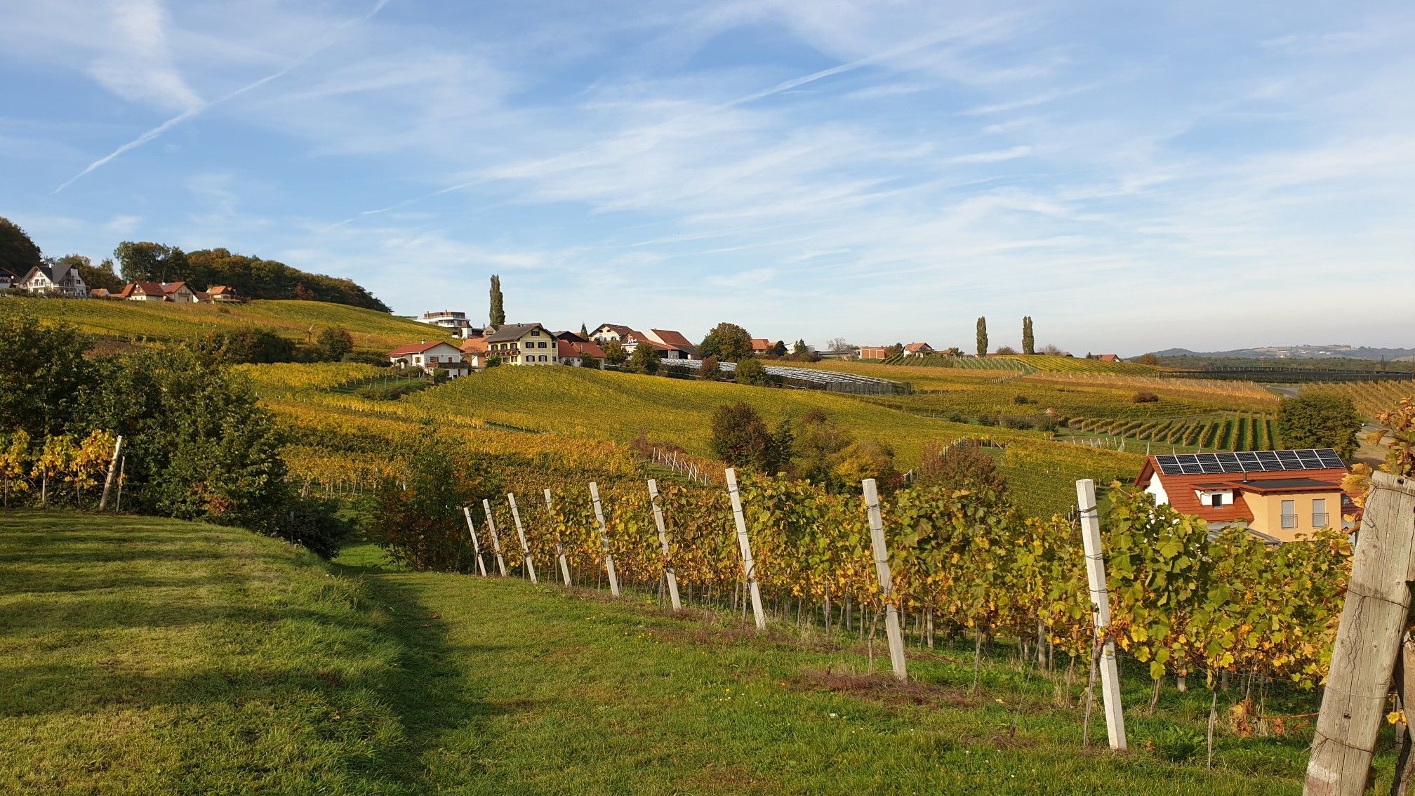
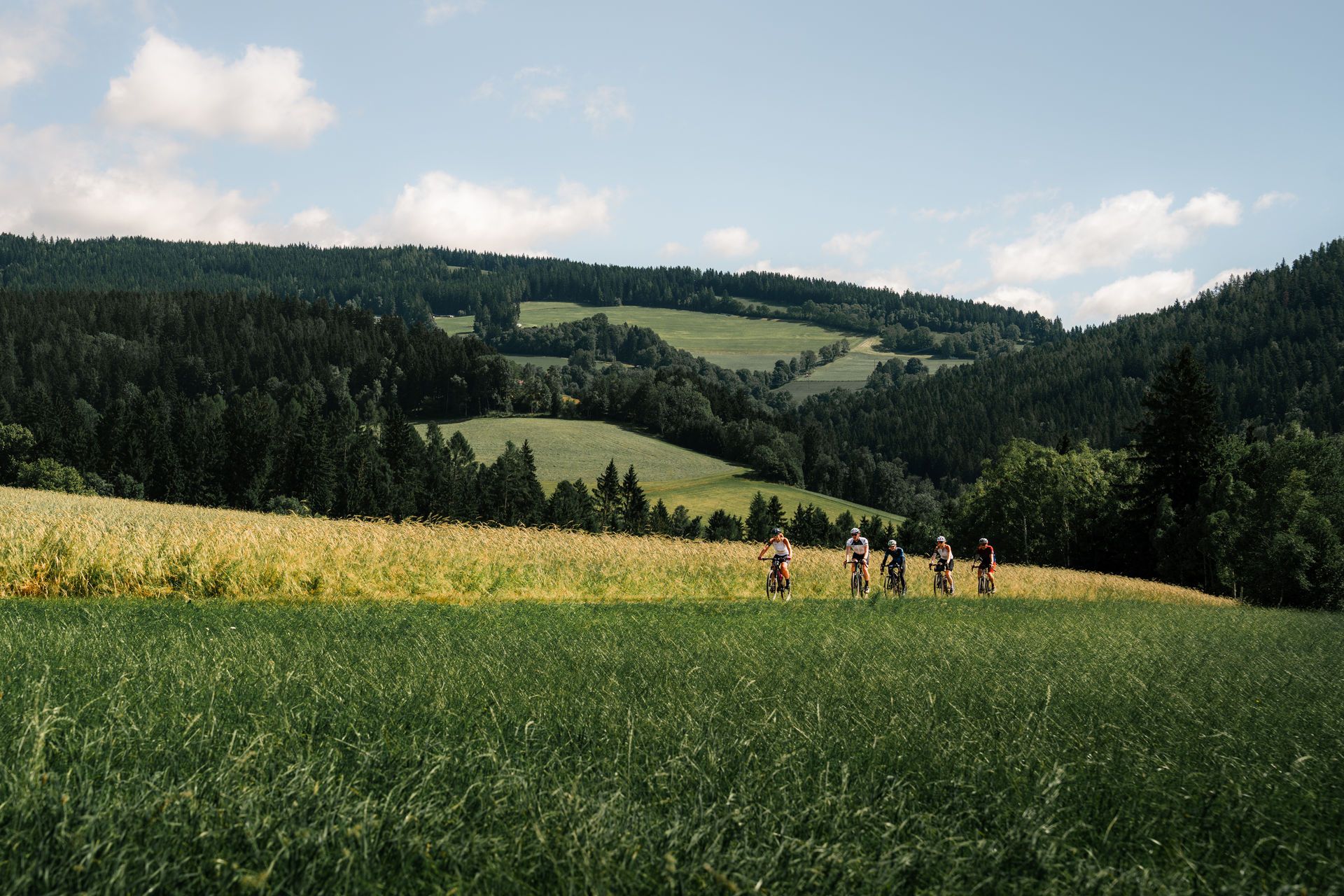
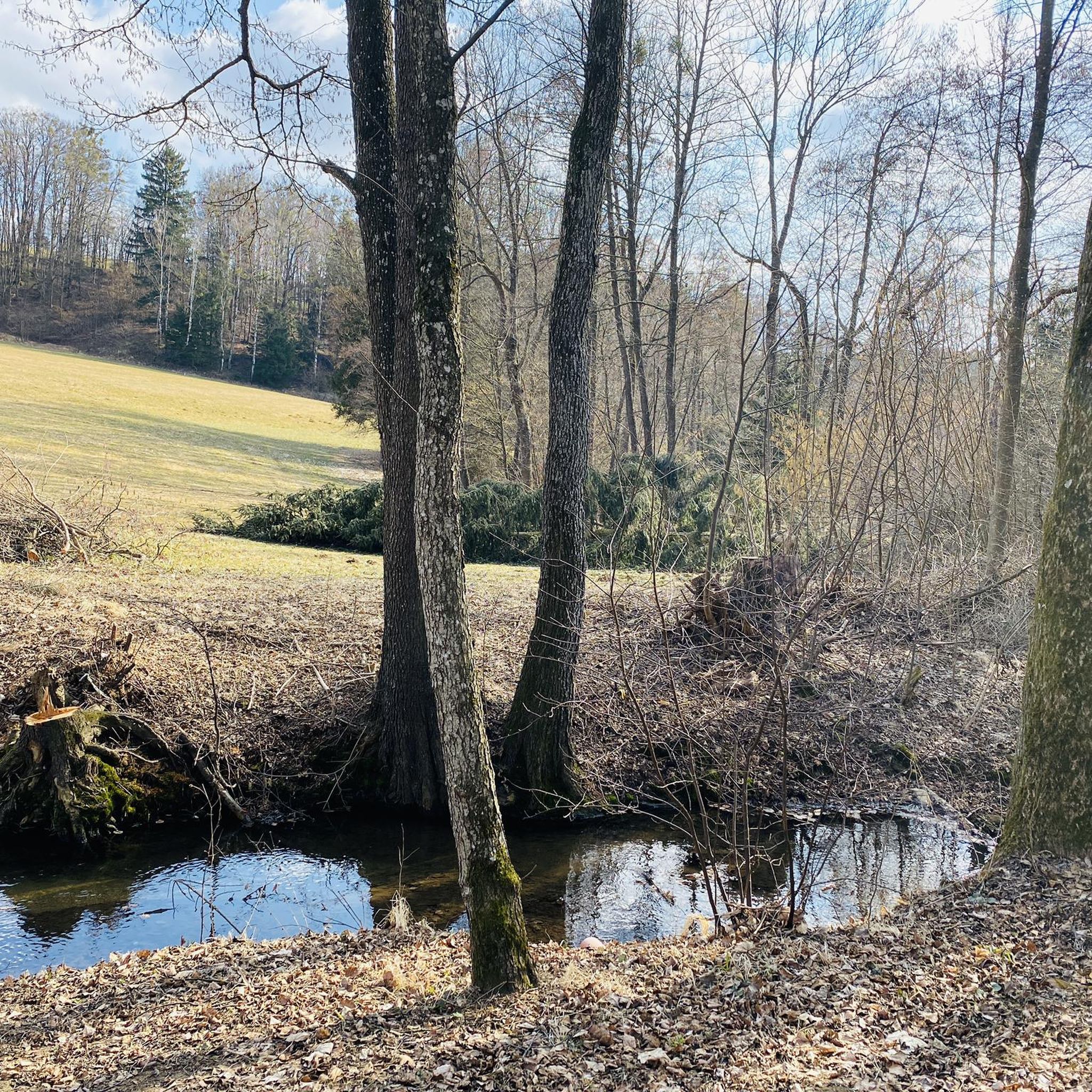
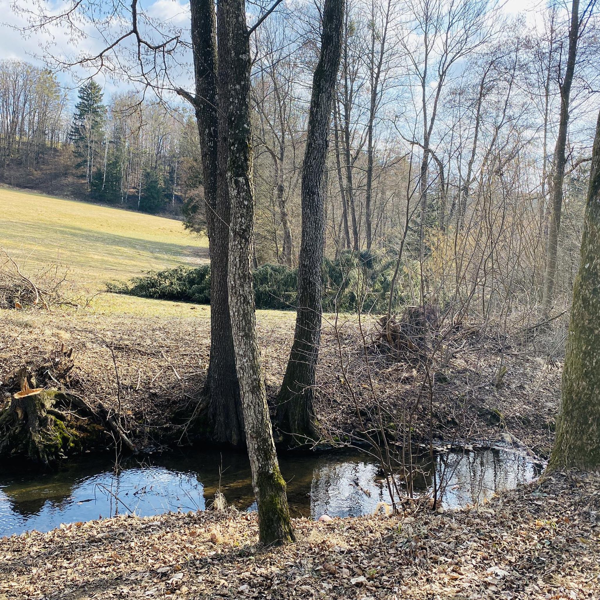
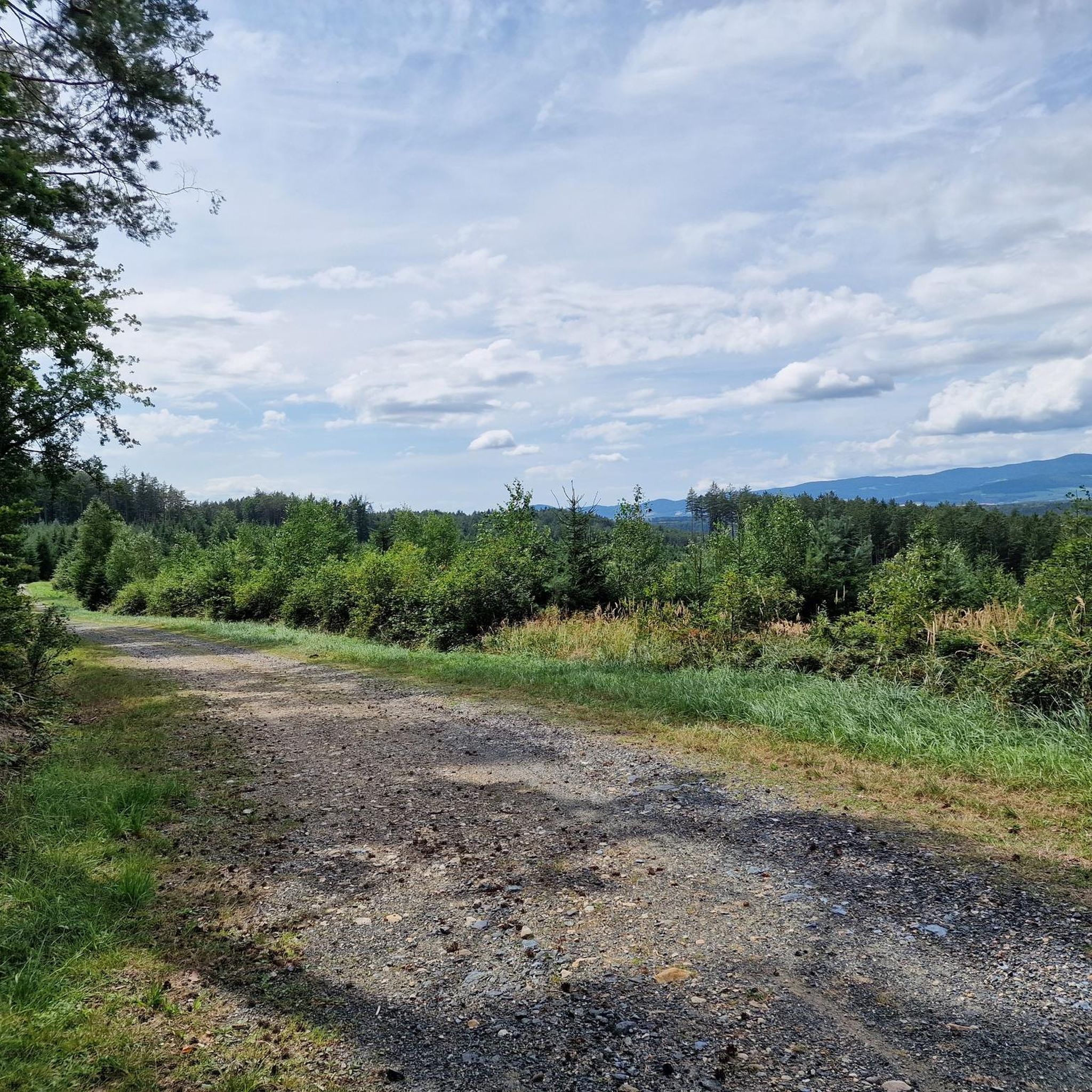
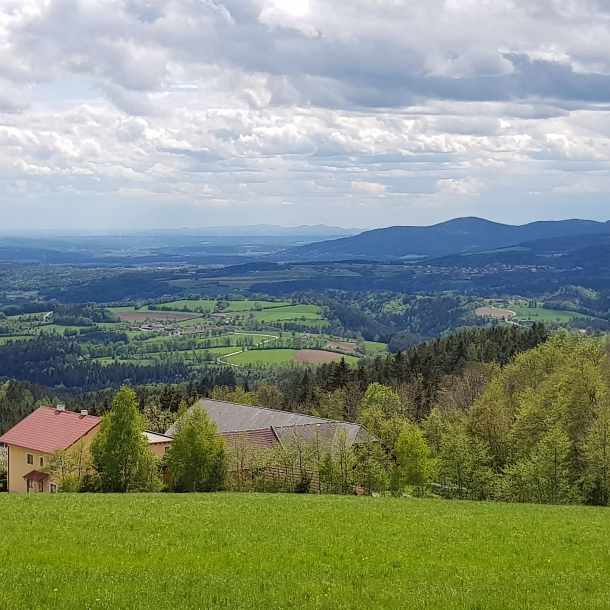



Tips from the Community

The Hallerhaus is a cozy mountain hut on the Wechsel and a popular resting point for hikers. The hut is located in the middle of the quiet forest and alpine landscape and is ideally suited for a stop during a tour over the Niederwechsel. A beautiful place to take a break and enjoy the typical landscape of the Wechsel region.
4
0
The Stoa Alm is a rustic alpine pasture on the Niederwechsel and a beautiful resting point along the hiking route. Surrounded by meadows and the gentle mountain landscape of the Wechsel region, it offers a pleasant opportunity for a break. The quiet, original atmosphere away from the more frequented paths is particularly charming.
4
0
The Festenburg summit is located on the Niederwechsel and is a rather inconspicuous, natural point along the ridge. Instead of a distinct summit structure, forest and the gentle landscape of the Wechselland characterize this section. A quiet waypoint away from the more prominent peaks – typical for the elongated ridges of the Wechsel Mountains.
3
0
The border stone on the Grünberg marks a transition between Lower Austria and Styria. It lies directly on the state border and is a small, but interesting landmark along the hiking route. An inconspicuous detail on the path that makes it visible that you are switching from one federal state to another here.
3
0
The Wetterkoglerhaus is located directly on the summit of the Hochwechsel at 1,743 meters and is a hut of the Austrian Alpine Club. With good visibility, the hut offers a magnificent panorama over the Wechsel region to Schneeberg, Rax, and Hochschwab. Due to its immediate proximity to the summit cross and chapel, the Wetterkoglerhaus is an ideal resting and refreshment stop at the highest point of the tour.
4
0

It is always open during the ski season, including Fridays.
1
0

Beautiful location, good place to stop for a break, right next to the mountain bike trails and the start of the "Haller Trail".
2
0

Frequently Asked Questions
What kind of mountaineering routes can I expect around Friedberg (Styria)?
The mountaineering routes around Friedberg in Styria, Austria, are primarily located within the Wechselgebirge. This region offers a varied mountain landscape with peaks exceeding 1,700 meters, including the notable Hochwechsel Summit. You can expect challenging ascents and panoramic views, with routes generally categorized as moderate to difficult, requiring good fitness and sure-footedness.
Are there any family-friendly mountaineering options in the Friedberg area?
While the routes listed in this guide are generally moderate to difficult, the Wechselgebirge region does offer some hiking trails suitable for families. However, for the specific mountaineering routes highlighted here, such as the Hochwechsel Summit – Chapel on Hochwechsel loop, they are better suited for those with some mountaineering experience due to significant elevation gain and varied terrain.
What are some of the highlights or natural monuments I can see along the mountaineering routes?
The Friedberg area is rich in natural beauty. Along your mountaineering adventures, you might encounter the majestic Hochwechsel summit itself, offering expansive views. Another notable natural monument is the idyllic Bärengraben, a nature reserve with tranquil forests and streams. You could also discover the Festenburg Summit (Niederwechsel).
Are there any circular mountaineering routes available?
Yes, several of the mountaineering routes around Friedberg are designed as loops, allowing you to start and end at the same point. Examples include the Hochwechsel Summit – Chapel on Hochwechsel loop from Katastralgemeinde Neustift am Alpenwald and the Trail Sign at Hochwechsel – Hochwechsel Trail Sign loop from Waldbach-Mönichwald. These circular paths offer a convenient way to explore the varied mountain terrain.
What do other mountaineers say about the routes in Friedberg?
The mountaineering routes in Friedberg are highly rated by the komoot community, with an average score of 4.7 stars from 3 reviews. Mountaineers often praise the challenging ascents, the rewarding panoramic views from peaks like Hochwechsel, and the diverse mountain landscapes of the Wechselgebirge.
Are there any specific mountain lodges or huts along the routes?
Yes, some routes incorporate mountain lodges, providing potential rest stops or destinations. For instance, the Hallerhaus Mountain Lodge – Vorauer Schwaig Alm loop from Mönichkirchen traverses sections around the Hallerhaus Mountain Lodge, which can be a welcome sight during a longer, more difficult tour.
What is the best time of year for mountaineering in the Friedberg area?
The Wechselgebirge, where Friedberg (Styria) is located, is recognized as a hiking destination for much of the year. While specific data for mountaineering isn't provided, generally, late spring through early autumn (May to October) offers the most favorable conditions with less snow and more stable weather for mountain activities. Winter mountaineering is possible but requires specialized equipment and experience due to snow and ice.
Are there any historical sites or castles near the mountaineering trails?
Yes, the region around Friedberg also boasts historical sites. While not directly on the mountaineering trails, you can find several castles nearby. Notable examples include Reitenau Castle, Thalberg Castle, and the Willersdorf Castle Ruins, which offer a glimpse into the area's rich history.
Can I bring my dog on the mountaineering routes?
While many hiking trails in Austria are dog-friendly, it's always advisable to check local regulations for specific mountaineering routes, especially those in nature reserves or protected areas. Given the challenging nature of these routes, ensure your dog is fit for mountain terrain and that you carry enough water for both of you.
Are there any longer, more difficult mountaineering routes for experienced climbers?
Absolutely. For experienced mountaineers seeking a significant challenge, routes like the Hochwechsel Summit – Wetterkoglerhaus loop from Aspangberg-St. Peter are available. This route is classified as difficult, covering a substantial distance and elevation gain, making it suitable for those with good fitness and alpine experience.
How many mountaineering routes are featured in this guide for Friedberg?
This guide features a selection of five distinct mountaineering routes around Friedberg (Styria), all located within the challenging and scenic Wechselgebirge mountain range. These routes offer a variety of experiences for those looking to explore the high peaks of the region.
Most popular routes around Friedberg
Most popular attractions around Friedberg

Get inspired with the komoot mobile app


Explore more
Browse the best Mountain Hikes & Routes in other regions.
