The best mountain hikes around Grasellenbach
3
hikers
2
hikes
Mountaineering routes around Grasellenbach are situated within the Odenwald, a low mountain range characterized by extensive forests and significant elevation changes. The terrain features numerous ascents and descents, providing challenging trails for outdoor enthusiasts. This region also includes diverse natural features such as springs and the last remaining moor in the Odenwald. The landscape is predominantly covered by woodlands, offering shaded paths and a rich natural environment.
Best mountaineering routes around Grasellenbach
- The most popular mountaineering route is Gersprenz Spring…
Last updated: August 8, 2026
1
hikers
5.61km
01:34
110m
110m
Easy mountaineering route. Great for any fitness level. Easily-accessible paths. Suitable for all skill levels.
1
hikers
Moderate mountaineering route. Good fitness required. Easily-accessible paths. Suitable for all skill levels.

Sign up for free
1
hikers
Easy mountaineering route. Great for any fitness level. Easily-accessible paths. Suitable for all skill levels.
Moderate mountaineering route. Good fitness required. Easily-accessible paths. Suitable for all skill levels.
Our route recommendations are based on thousands of hikes, rides, and runs completed by other people on komoot.
Start today with a free account
Your next adventure awaits.
Login or Signup
Popular around Grasellenbach
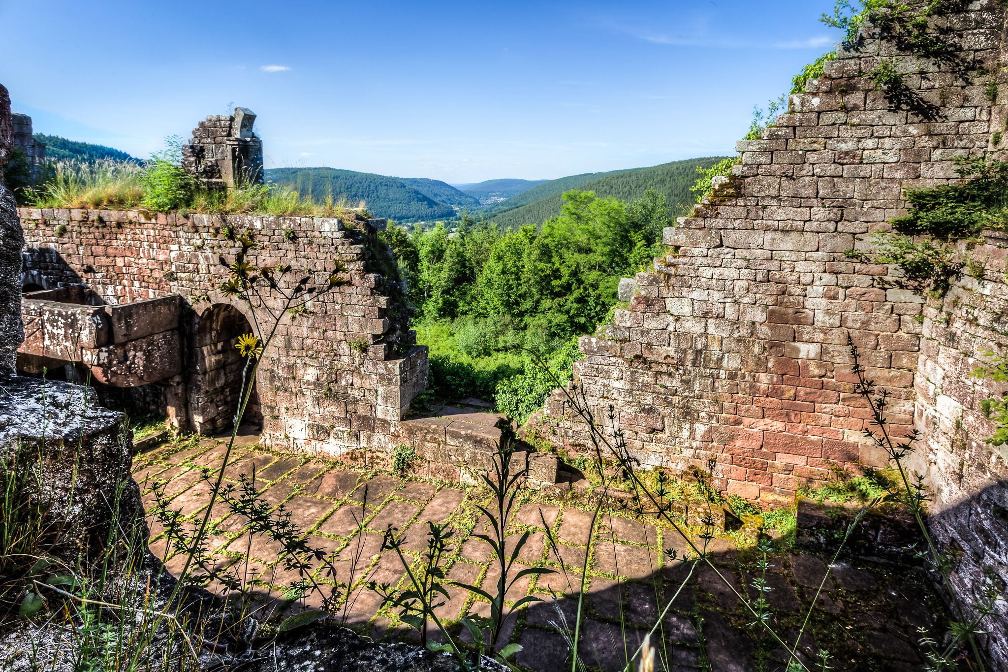
The Nibelungensteig in 7 stages – Simply legendary!
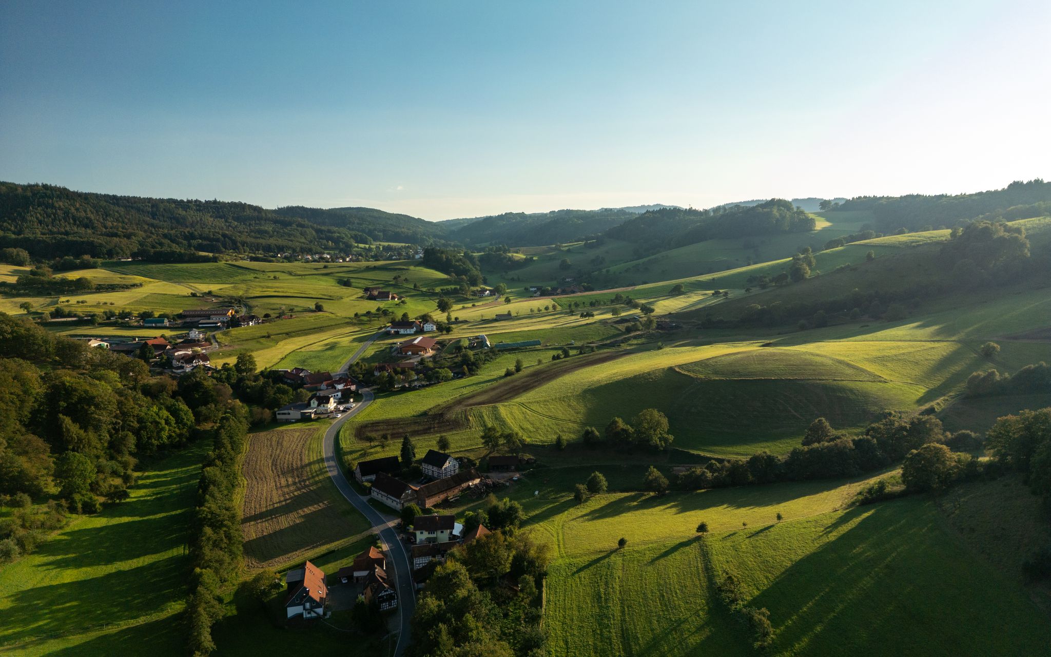
Hiking fun in the Vordere Odenwald – nature and history

Out into spring – glorious hikes with the RMV
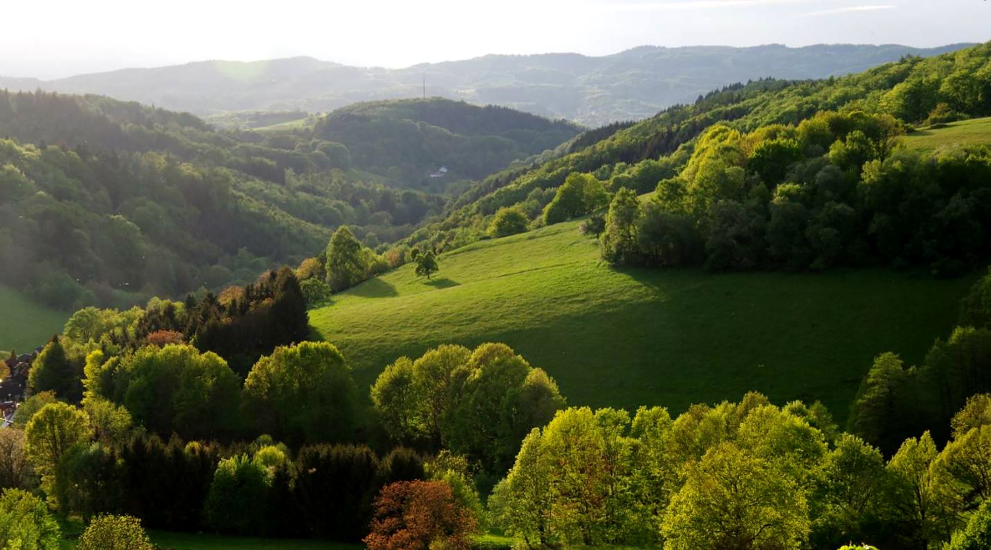
Breathtaking landscapes – a double dose of adventure on the Trans Odenwald
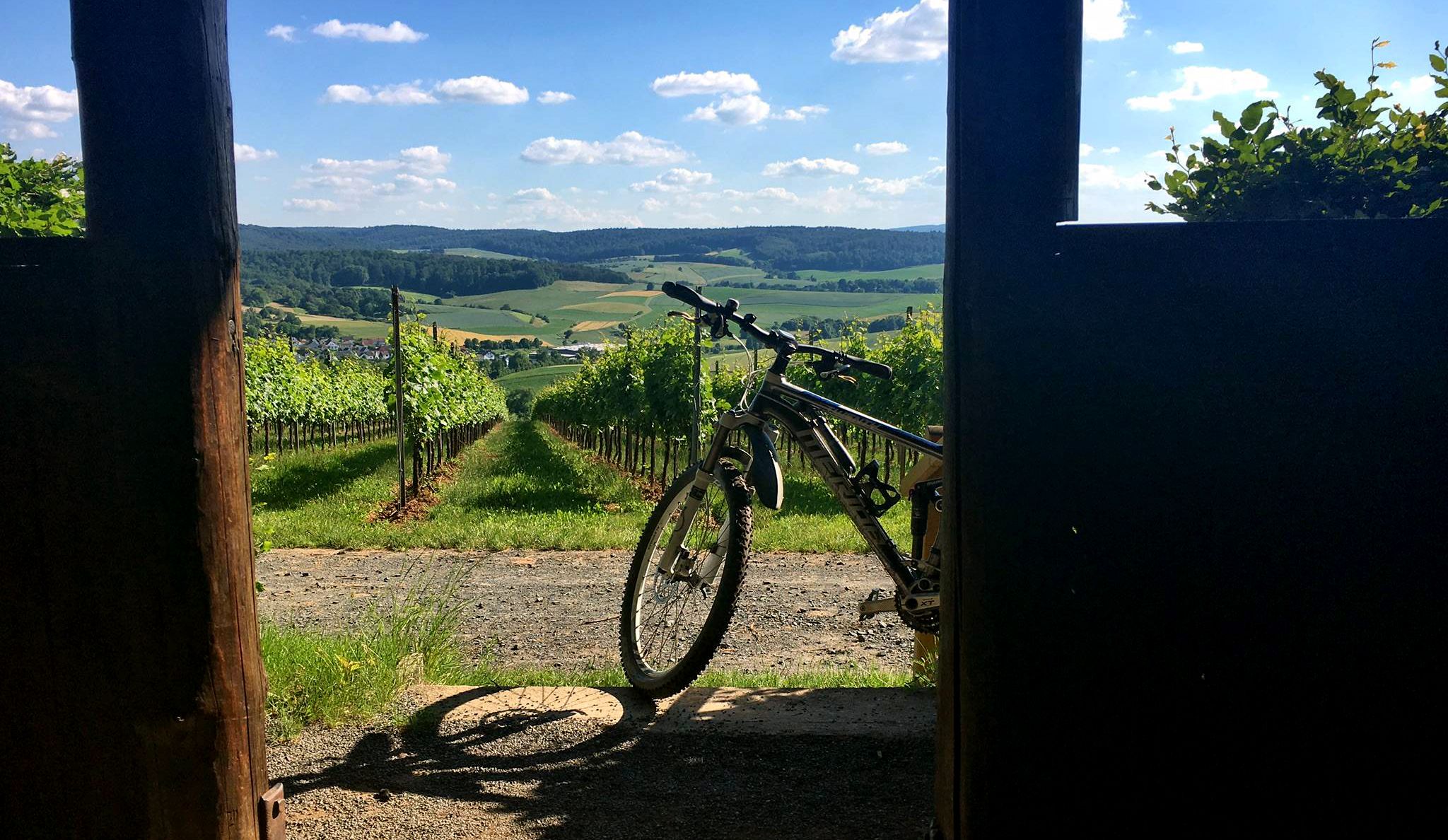
Twelve undiscovered mountain bike gems in the Odenwald and on the Bergstrasse
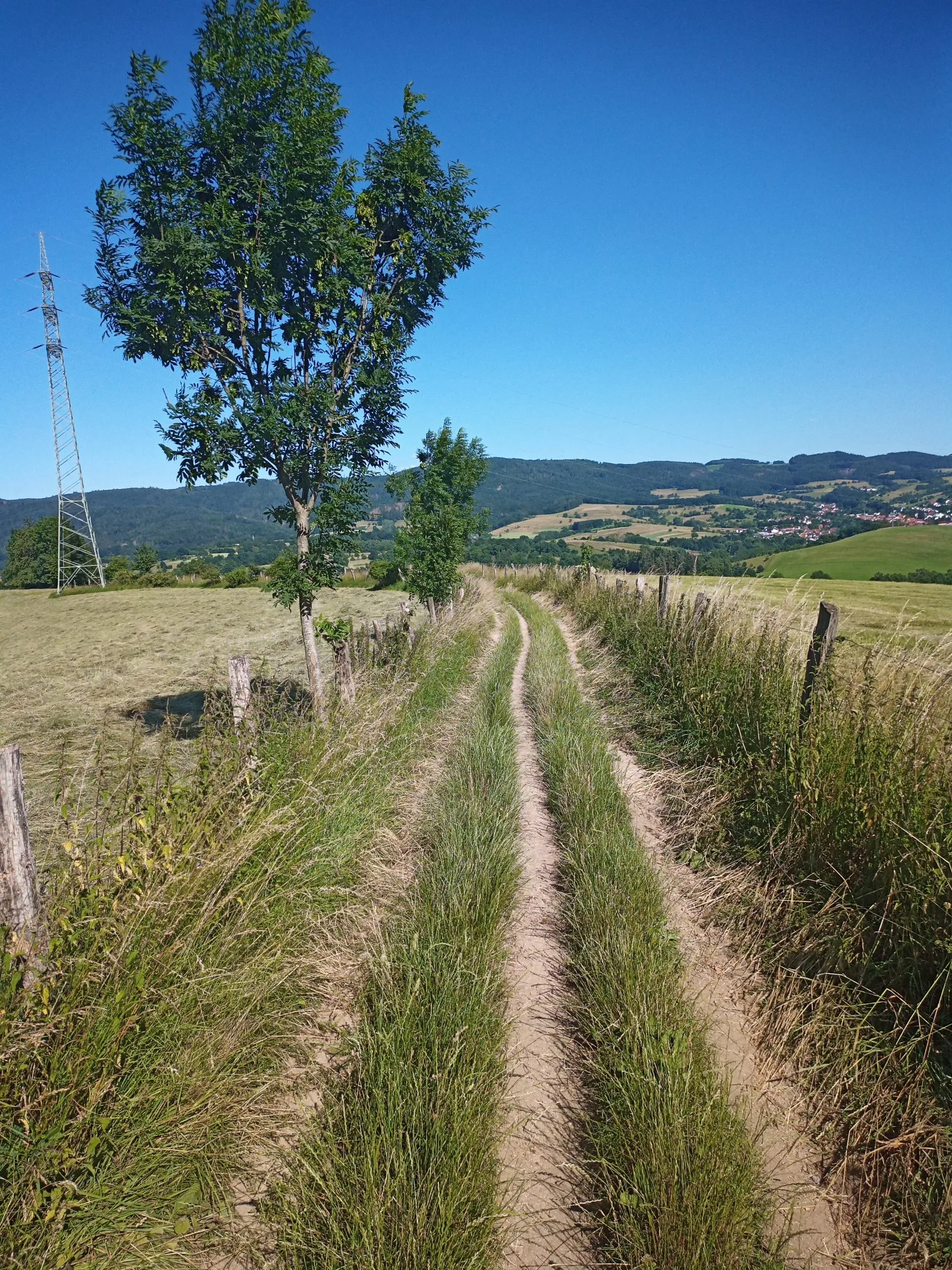
In the middle of Germany — biking in the Odenwald Geo-Nature Park
Hiking around Grasellenbach
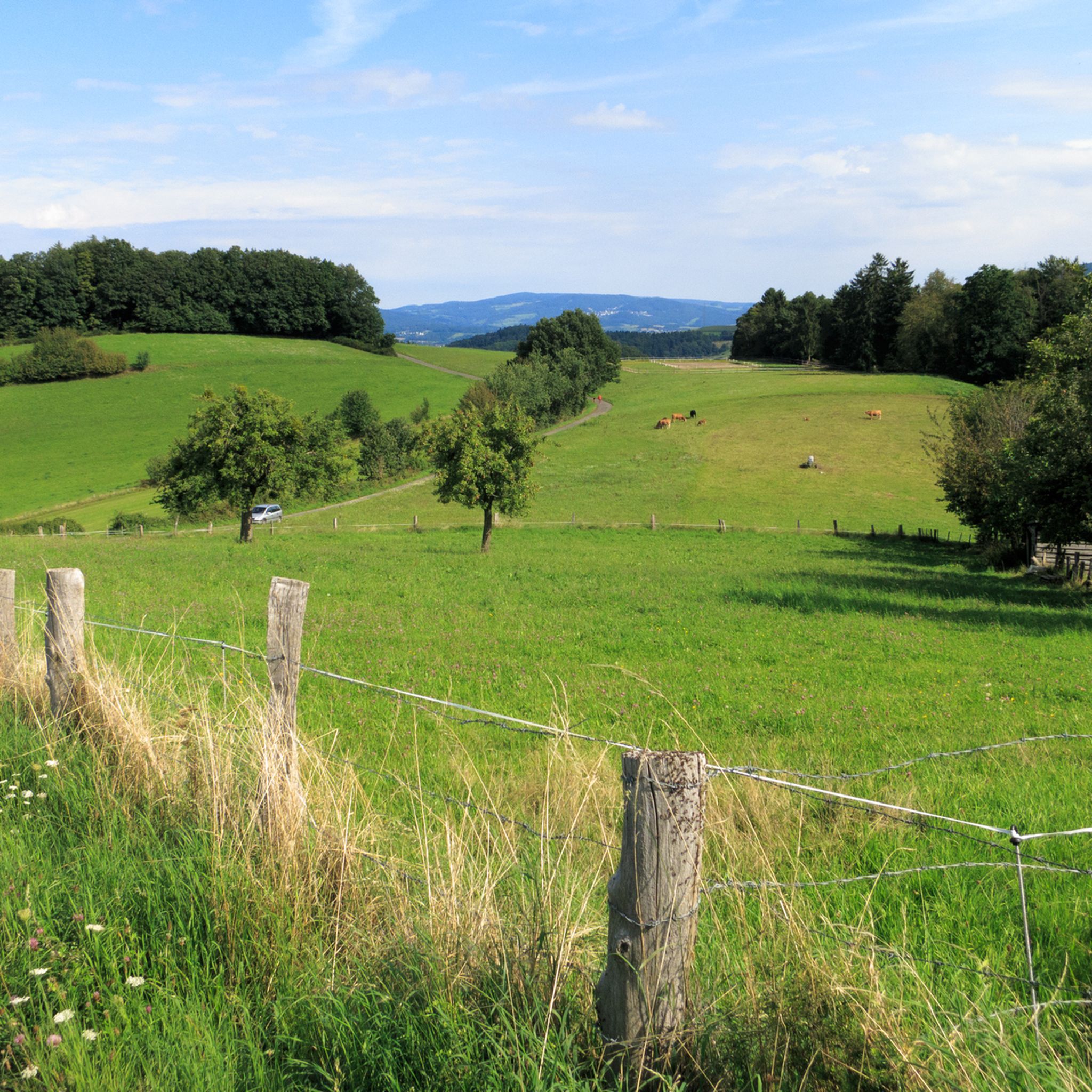
Cycling around Grasellenbach
MTB Trails around Grasellenbach
Road Cycling Routes around Grasellenbach
Other adventures around Grasellenbach


Tips from the Community

A sun lounger with a great view
0
0

in the Hessian Odenwald
0
0

From here you can continue or start your 🚲 bike tours to many destinations.
1
0
Peace and quiet with a view. Here and there a bench in the sunshine.
0
1

Parking lot from which you can start a beautiful hike
1
1

Unfortunately, due to the dense fog today, nothing could be seen.
1
0

Don't forget sunscreen before going to sleep 🦀 🦀 🦀
0
1
There is a nice variety on the route
0
0
Frequently Asked Questions
What kind of terrain can I expect on mountaineering routes around Grasellenbach?
The mountaineering routes around Grasellenbach are set within the Odenwald, a low mountain range characterized by extensive forests and significant elevation changes. You'll encounter numerous ascents and descents, providing a challenging yet rewarding experience. The landscape is predominantly covered by woodlands, offering shaded paths and a rich natural environment.
Are there any easy mountaineering routes suitable for beginners?
Yes, there are easy routes available. For instance, the Gersprenz Spring – View of the Taunus loop from Neunkirchen is an easy 3.4-mile (5.5 km) trail that takes about 1 hour 32 minutes to complete, offering views towards the Taunus region. Another easy option is the Mörlenbach Art Trail – Kreiswald Reservoir loop from Das kleine Felsenmeer, which is 2.5 miles (4.1 km) long and takes around 1 hour 8 minutes.
Are there any circular mountaineering routes in the area?
Yes, many routes around Grasellenbach are designed as loops. For example, the Gersprenz Spring – View of the Taunus loop from Neunkirchen and the Mörlenbach Art Trail – Kreiswald Reservoir loop from Das kleine Felsenmeer are both circular trails. The Brudergrund Wildlife Park – Mossauer Höhe Viewpoint loop from Erbach (Odenwald) is another popular moderate circular path.
What natural features or landmarks can I see along the mountaineering routes?
The region boasts diverse natural features. You can explore the last remaining moor in the Odenwald, and many trails highlight important spring areas. The Fallbach Waterfall – Rodenstein castle ruins loop from Reichelsheim (Odenwald) passes by the impressive Fallbach Waterfall and the historic Rodenstein castle ruins. Other highlights include the Marbach Reservoir and various springs like the Weschnitz Spring.
Are there any routes that pass by waterfalls?
Yes, the Fallbach Waterfall – Rodenstein castle ruins loop from Reichelsheim (Odenwald) is a moderate 5.6-mile (8.9 km) route that takes you past the beautiful Fallbach Waterfall. The region also features other waterfalls like Berndsbrunnen and Waldwasserwand Waterfall, which can be explored on other routes.
What is the best time of year for mountaineering in Grasellenbach?
The Odenwald region, including Grasellenbach, is beautiful throughout the warmer months, from spring to autumn. The extensive forests provide ample shade during summer, making it pleasant even on hotter days. Spring brings lush greenery, while autumn offers vibrant foliage. Winter mountaineering is possible, but conditions can be challenging due to snow and ice on higher elevations and shaded forest paths.
Are the mountaineering routes around Grasellenbach suitable for families?
Many of the routes are suitable for families, especially the easier, shorter loops. The varied landscapes and natural features like springs and the last moor in the Odenwald can be engaging for children. Always check the specific route's distance and elevation gain to ensure it matches your family's fitness level.
Can I bring my dog on the mountaineering trails?
Generally, dogs are welcome on the hiking and mountaineering trails in the Odenwald. However, it's always advisable to keep your dog on a leash, especially in nature reserves, near wildlife parks, or in areas with livestock. Be mindful of local regulations and ensure your dog is well-behaved around other hikers and wildlife.
Are there any viewpoints along the routes?
Yes, several routes offer excellent viewpoints. The Brudergrund Wildlife Park – Mossauer Höhe Viewpoint loop from Erbach (Odenwald) includes a notable viewpoint at Mossauer Höhe. The Erlebniswanderweg Fürth-Grasellenbach, a longer regional trail, is known for its views from Walburgiskapelle.
What do other mountaineers enjoy most about the routes in Grasellenbach?
Mountaineers using komoot often praise the varied terrain, the extensive Odenwald forests providing shaded paths, and the significant elevation changes that offer a good workout. The presence of diverse water features like springs and the last moor in the Odenwald also adds to the unique appeal of the region's routes.
Is there parking available near the trailheads?
Parking is generally available in and around Grasellenbach, particularly near popular trailheads and villages. Specific parking information can often be found on individual route descriptions or local tourism websites. It's recommended to check for designated parking areas before starting your tour.
Are there opportunities for wildlife spotting on the trails?
The extensive forests and natural landscapes of the Odenwald provide a habitat for various wildlife. While specific sightings are never guaranteed, you might encounter deer, wild boar, and a variety of bird species. The Brudergrund Wildlife Park – Mossauer Höhe Viewpoint loop from Erbach (Odenwald) even passes through the Brudergrund Wildlife Park, increasing your chances of seeing local fauna.
Most popular routes around Grasellenbach
Most popular attractions around Grasellenbach

Get inspired with the komoot mobile app


Explore more
Browse the best Mountain Hikes & Routes in other regions.
