The best mountain hikes around Bingen am Rhein
5.0
(1)
8
hikers
3
hikes
Mountaineering routes around Bingen am Rhein are set within the dramatic landscapes of the Romantic Middle Rhine Valley, a UNESCO World Heritage Site. The region is characterized by the confluence of the Rhine and Nahe rivers, wild vineyards, lower mountain ranges, and steep valleys. The Bingen Forest offers varied terrain, while areas like the Morgenbach Valley feature natural climbing rocks and challenging ascents. These physical features provide a diverse environment for mountaineering activities.
Best mountaineering routes around Bingen am Rhein
…Last updated: July 12, 2026
6
hikers
Hard mountaineering route. Very good fitness required. Easily-accessible paths. Suitable for all skill levels.
1
hikers
14.5km
04:12
350m
350m
Moderate mountaineering route. Good fitness required. Mostly accessible paths. Sure-footedness required.

Sign up for free
5.0
(1)
1
hikers
Moderate mountaineering route. Good fitness required. Easily-accessible paths. Suitable for all skill levels.
Our route recommendations are based on thousands of hikes, rides, and runs completed by other people on komoot.
Start today with a free account
Your next adventure awaits.
Login or Signup
Popular around Bingen am Rhein
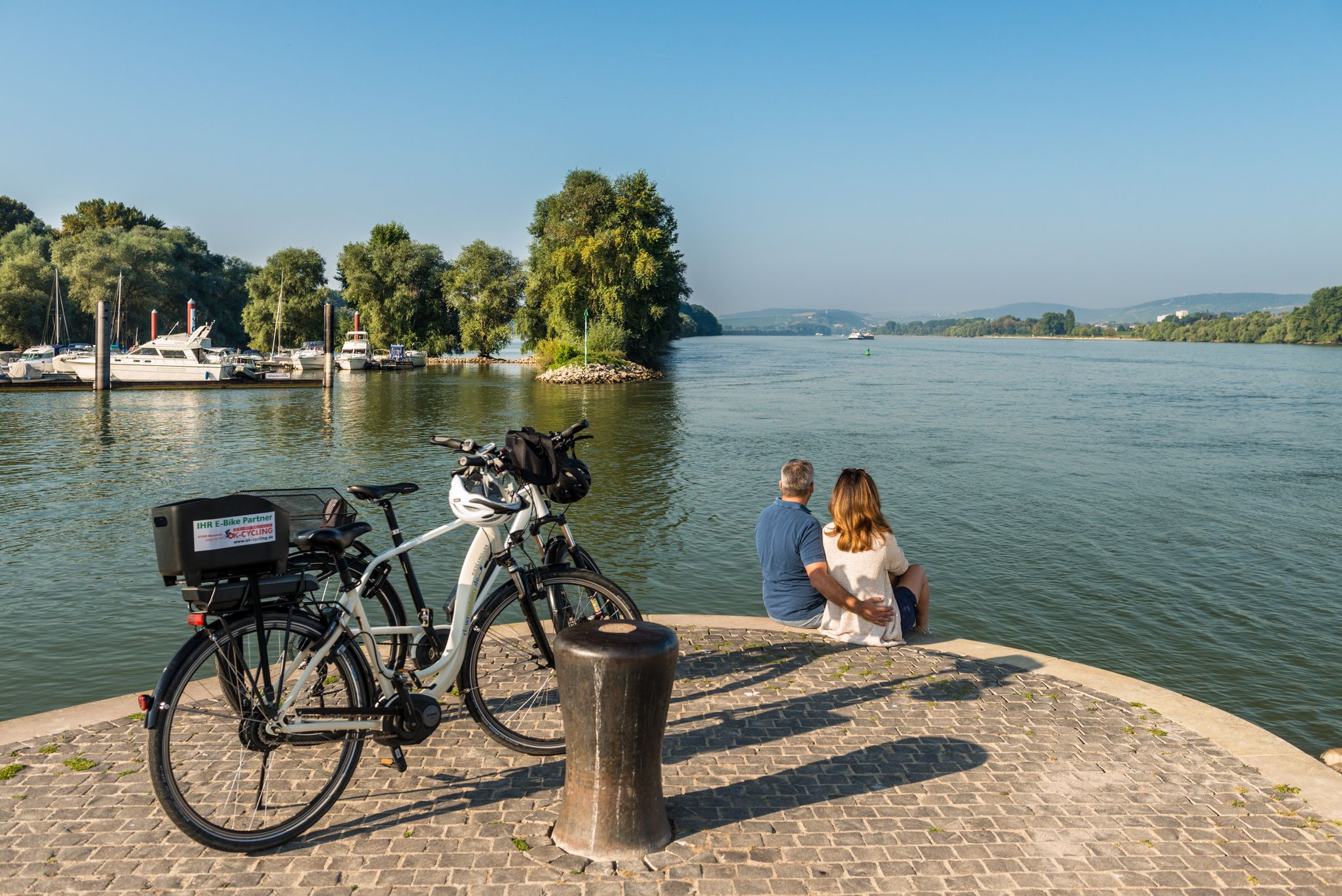
Cycling in Rheinhessen between Rhine and wine
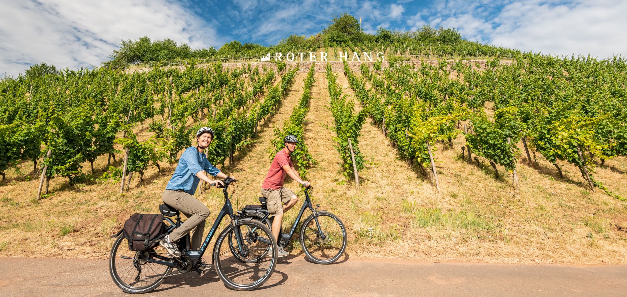
From the city to a sea of vines – cycling Tours in Rheinhessen

Out into spring – glorious hikes with the RMV
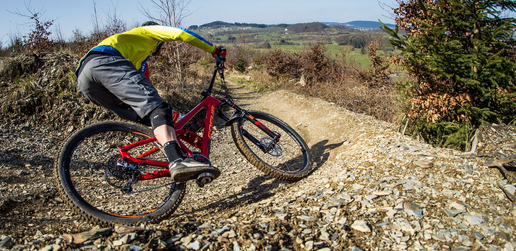
Flow Rider — trail fun for everyone
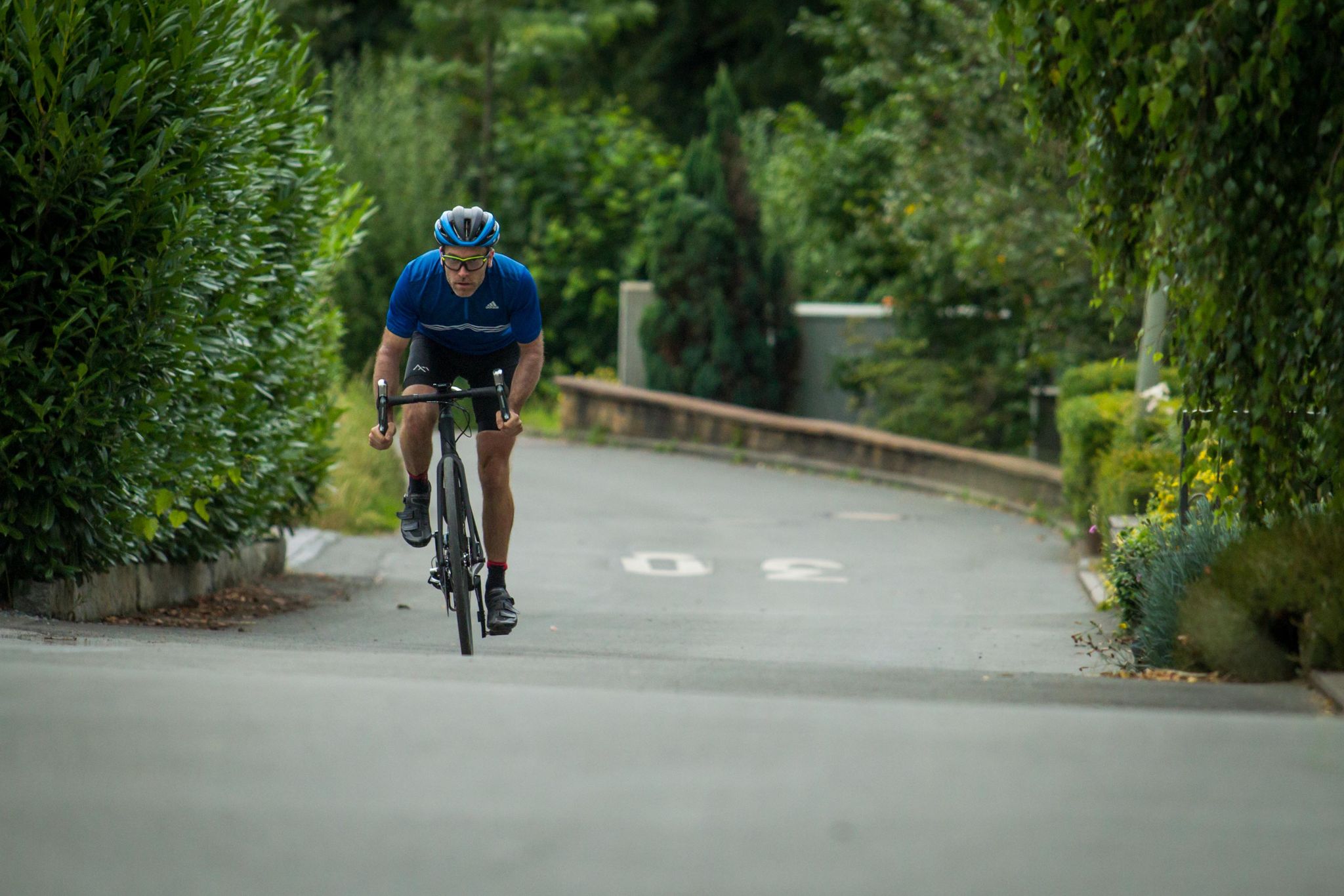
Who needs the Alps? 8 great climbs around Germany
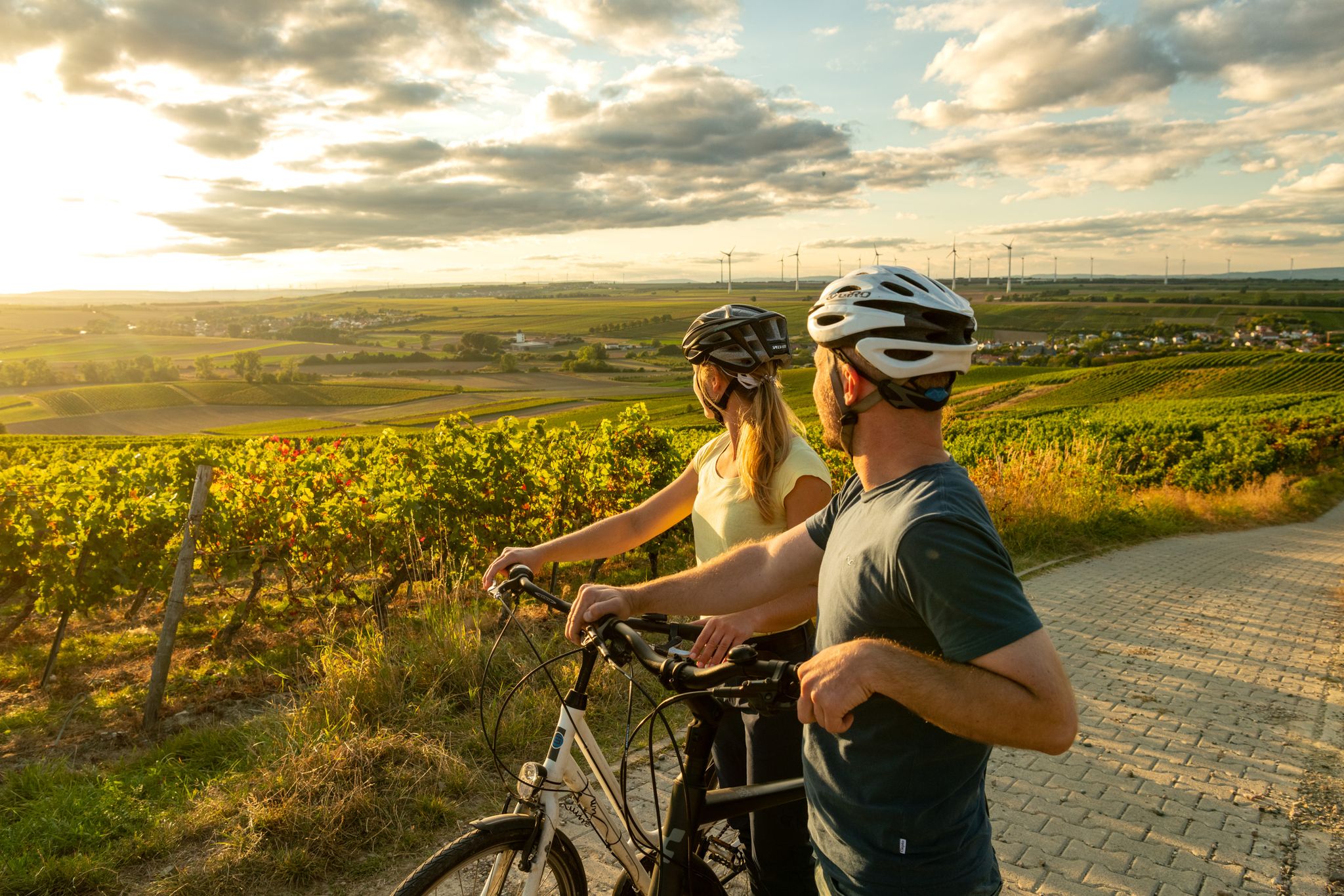
Rheinhessen mit Aussicht - Die schönsten Panoramatouren in Rheinhessen
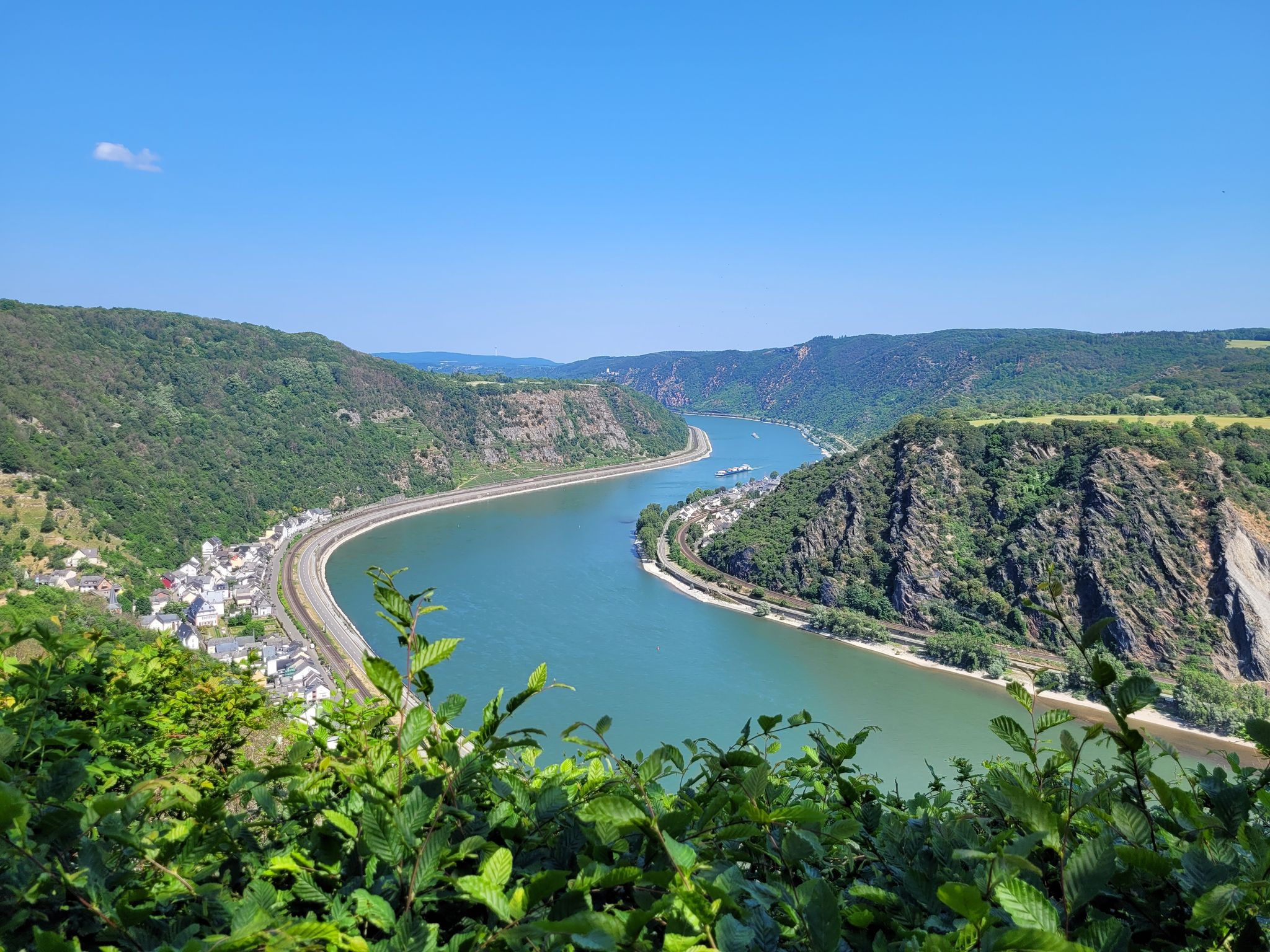
Welterbesteig Oberes Mittelrheintal
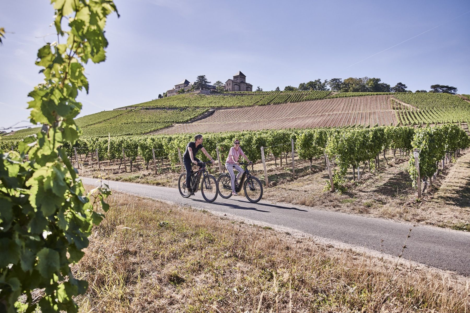
Wald, Wein und Weite – Genussvolle Radrouten im Rheingau
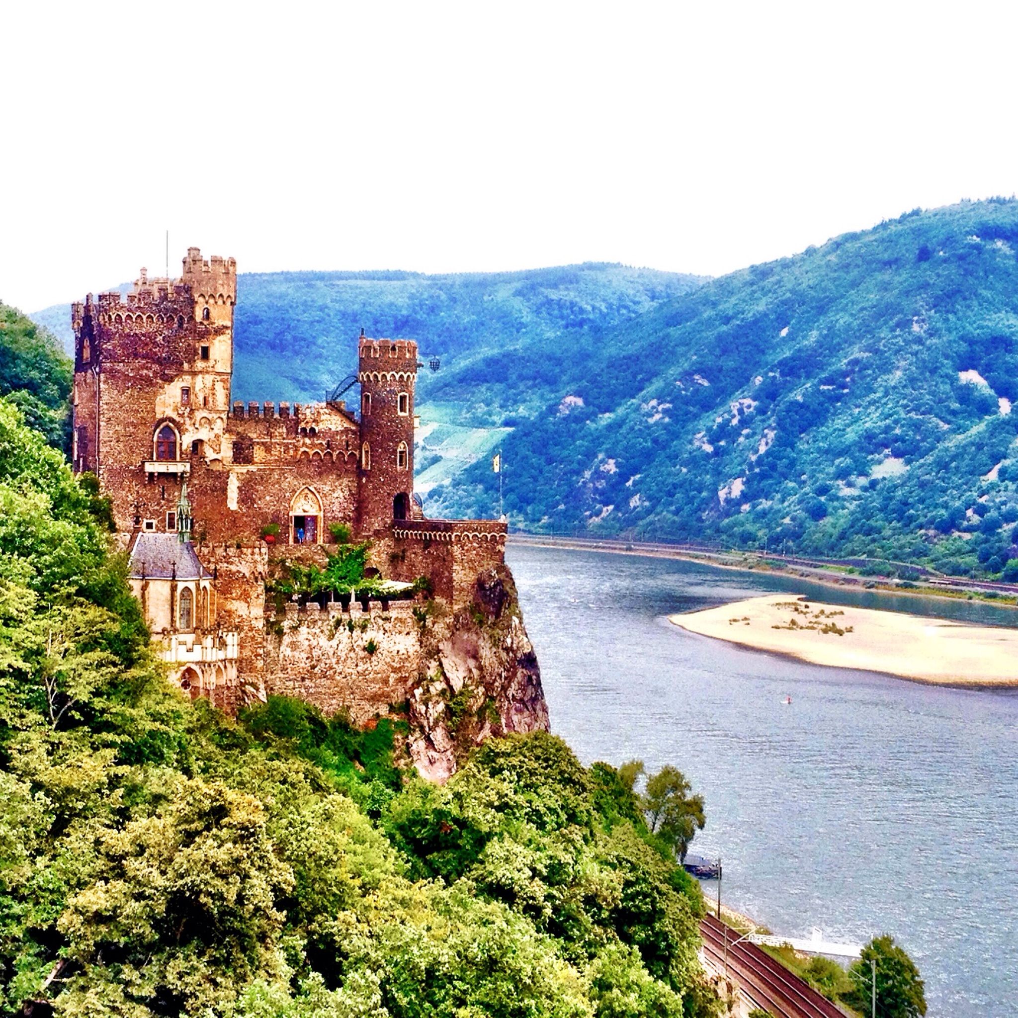
Cycling around Bingen am Rhein
Hiking around Bingen am Rhein
Other adventures around Bingen am Rhein


Tips from the Community


Extreme CAUTION when swimming the Rhine can be very dangerous with its invisible currents and shallows
1
0

It is no longer possible to drive on it as it is overgrown with thorn bushes. Fallen trees are also blocking the way. It is better to go around the outside of the road to the junction.
0
0

Now looks completely closed, run down
0
0

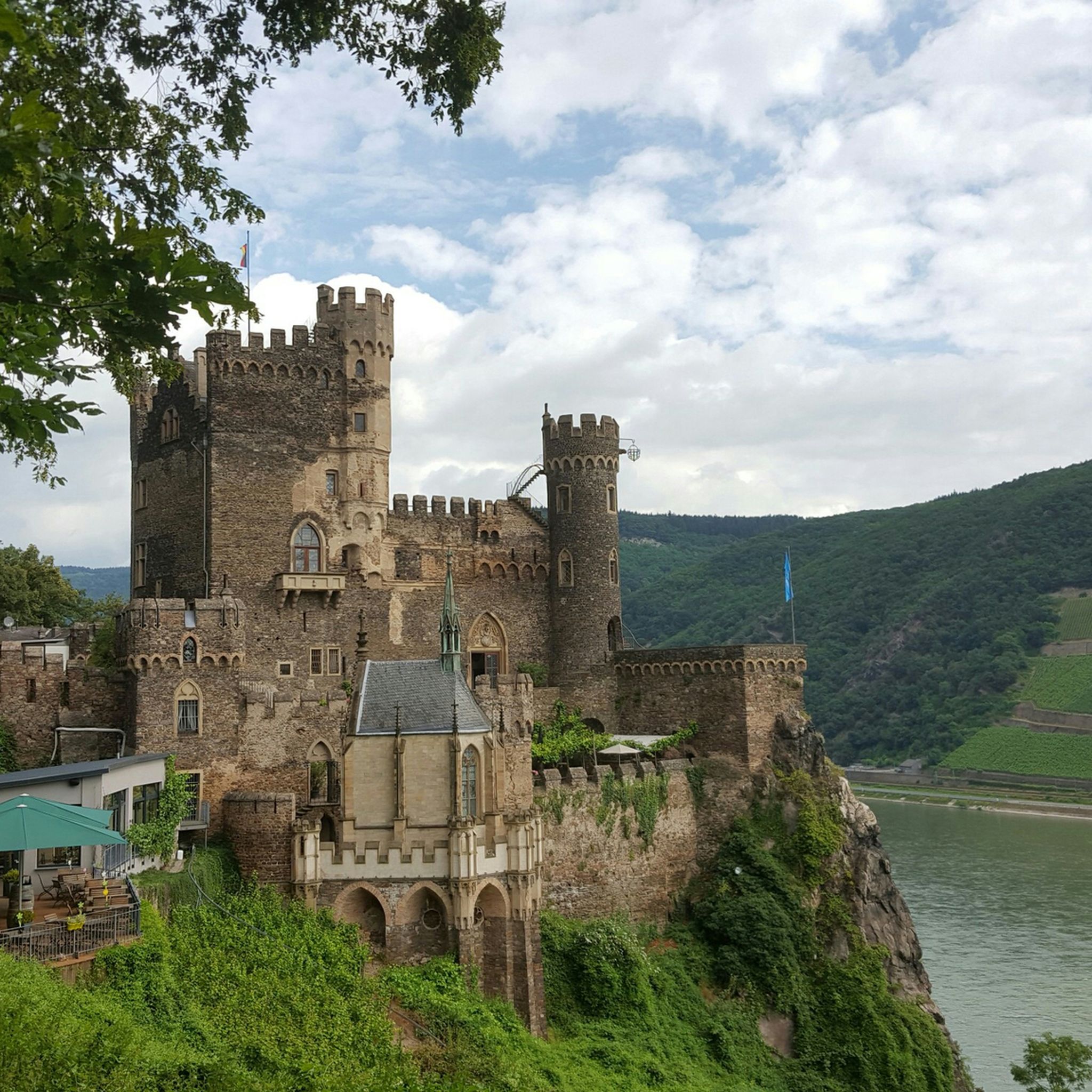
Great hiking trail. Rheinstein Castle is built on a rock, so it is a must to visit the castle and walk the hiking trail. Great view of the Rhine.
2
0

The Swiss House is closed
2
0

From the castle you have wonderful views of the Rhine
2
0

I pushed the bike here. No problem when it's dry, the path is wide enough.
1
0
Frequently Asked Questions
What kind of terrain can I expect on mountaineering routes around Bingen am Rhein?
The mountaineering routes in Bingen am Rhein traverse a diverse landscape, characteristic of the Romantic Middle Rhine Valley. You'll encounter wild vineyards, lower mountain ranges, and steep river valleys. The Bingen Forest offers varied terrain, while areas like the Morgenbach Valley feature natural climbing rocks and challenging ascents, providing a mix of strenuous hikes and vertical elements.
Are there any circular mountaineering routes available in the Bingen am Rhein area?
Yes, several circular routes are popular for mountaineering. For a challenging experience, consider the Prinzenkopf – Damianskopf loop from Bingen (Rhein) Hauptbahnhof, which covers 20.2 km. A moderate option is the Damianskopf loop from Wanderparkplatz Steckeschlääferklamm, a 11.9 km trail through the Bingen Forest.
What are some notable landmarks or viewpoints I can discover along the mountaineering routes?
The region is rich with natural and historical landmarks. You can enjoy panoramic views from the Niederwald monument, or explore the unique Steckeschlääferklamm — Tree Spirits Trail. Historic sites like Rheinstein Castle also offer scenic outlooks over the Rhine Valley.
Are there any routes suitable for beginners or those looking for a moderate challenge?
While some routes are difficult, there are excellent moderate options. The Prinzenkopf – Schloss Burg Rheinstein loop from Bingen is a moderate 14.4 km path offering views of the Rhine and historic castles. Another moderate choice is the Damianskopf loop from Wanderparkplatz Steckeschlääferklamm.
What is the highest point or most significant elevation gain I can expect on a mountaineering route here?
The region features 'mountainous peaks' and summits, including the Kalte Herberge, the highest point in the Rheingau at 619 meters. For a route with significant elevation gain, the Prinzenkopf – Damianskopf loop from Bingen (Rhein) Hauptbahnhof involves an ascent of nearly 668 meters, offering a challenging climb.
Are there any gorges or waterfalls to see on the mountaineering trails?
Yes, the region is known for its dramatic natural features. The Morgenbachtal Gorge and Waterfalls is a notable highlight, offering a picturesque natural experience. Additionally, the mystical Steckeschlääferklamm gorge in the Bingen Forest is famous for its carved tree spirits.
What do other mountaineers enjoy most about the routes in Bingen am Rhein?
The mountaineering routes around Bingen am Rhein are highly rated by the komoot community, with an average score of 5.0 stars. Reviewers often praise the dramatic landscapes of the Romantic Middle Rhine Valley, the challenging ascents, and the panoramic views of the Rhine and Nahe rivers.
Are there any places to eat or rest near the mountaineering trails?
Yes, you can find several spots to refuel or relax. Options include the Heiligkreuz Forest Inn, the Lauschhütte Restaurant & Outdoor Park, and the Rhine and Wisper View Hut, many of which offer scenic views.
What are the best seasons for mountaineering in Bingen am Rhein?
The region offers beautiful conditions across multiple seasons. Spring and autumn provide pleasant temperatures and vibrant foliage, ideal for exploring the vineyards and forests. Summer is also popular, though some routes might be more exposed to the sun. Winter mountaineering is possible, but conditions can be more challenging due to snow and ice, especially on higher elevations and steeper paths.
Are there opportunities for rock climbing or via ferrata in the Bingen am Rhein area?
Yes, for those seeking vertical challenges, the Morgenbach Valley offers natural climbing rocks like Mainzer Turm, Herkules, and Frankfurter Wand. Additionally, the Lauschhütte Outdoor Park features a climbing forest, and Hotel Papa Rhein hosts a 17-meter-high climbing wall with via ferrata sections across three difficulty levels.
How many mountaineering routes are available to explore around Bingen am Rhein?
There are several dedicated mountaineering routes around Bingen am Rhein, with three featured in this guide. However, the broader region offers an extensive network of trails that can be adapted for mountaineering, providing numerous options for various skill levels.
Can I reach the mountaineering trailheads using public transport?
Bingen am Rhein is well-connected, and some trailheads are accessible via public transport. For example, the challenging Prinzenkopf – Damianskopf loop starts directly from Bingen (Rhein) Hauptbahnhof, making it convenient for those arriving by train.
Most popular routes around Bingen am Rhein
Most popular attractions around Bingen am Rhein

Get inspired with the komoot mobile app


Explore more
Browse the best Mountain Hikes & Routes in other regions.
