The best walks and hikes around Fontanarosa
4.8
(14)
20
hikers
4
hikes
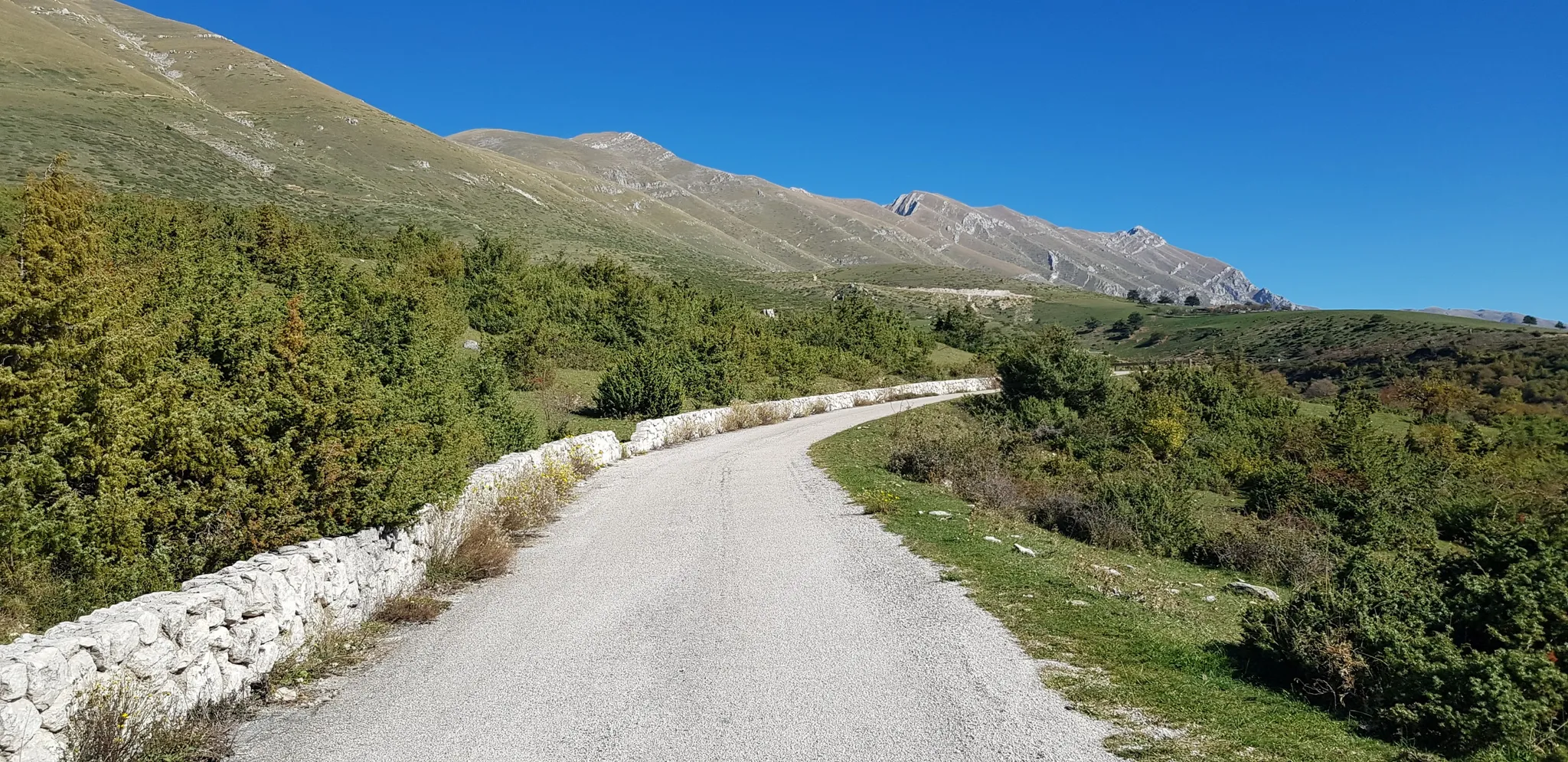
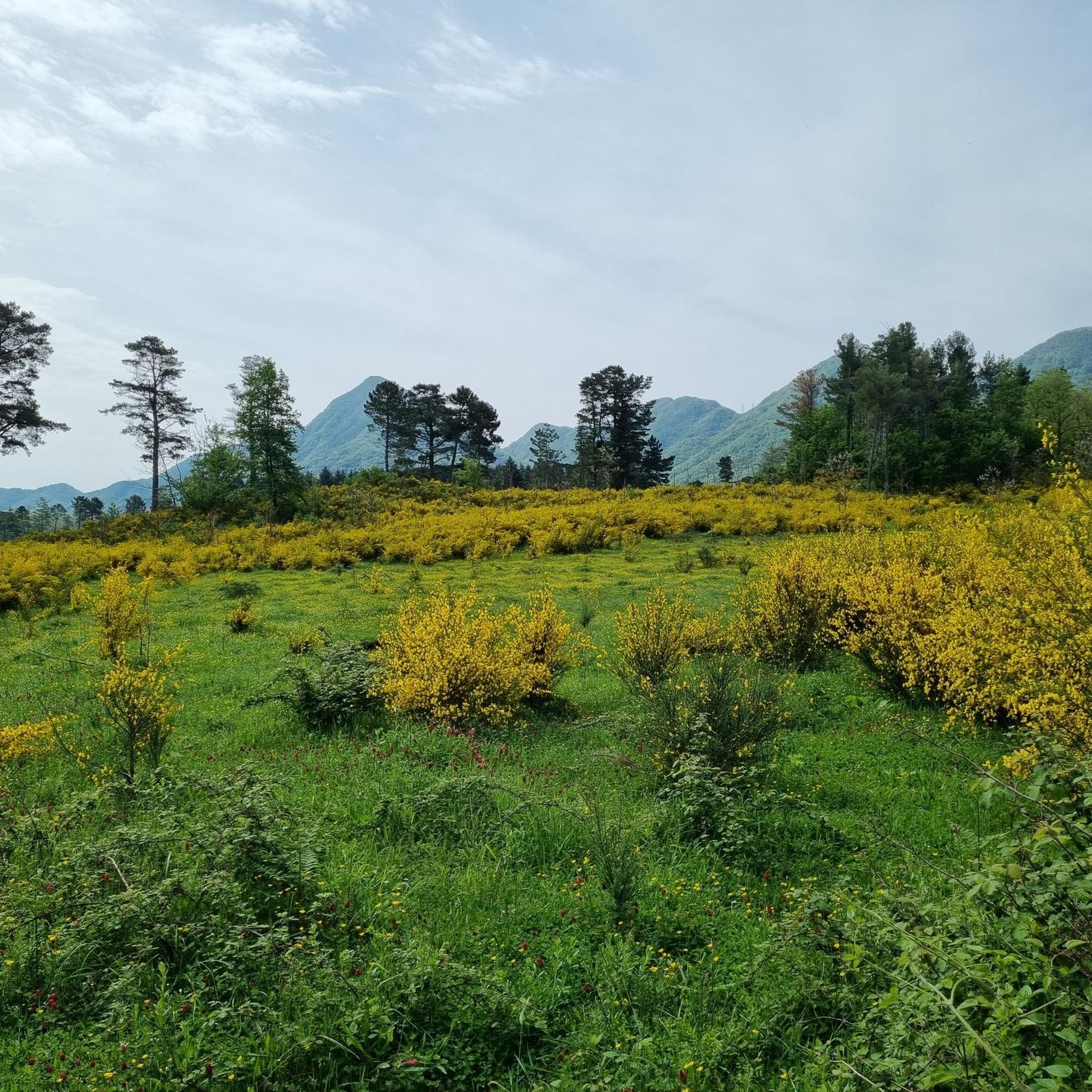
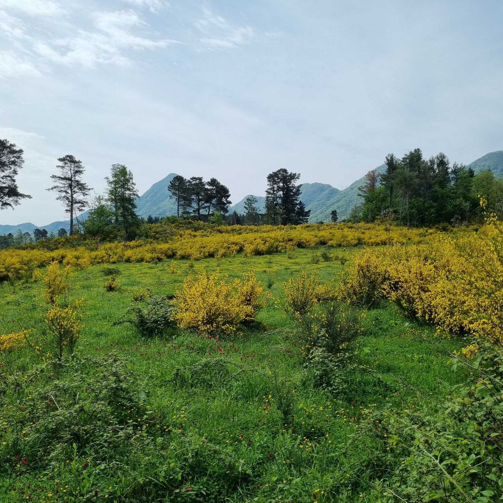
Hiking around Fontanarosa offers access to the natural beauty of the Calore Valley and the broader Irpinia region in southern Italy. The town itself is situated at 480 meters above sea level, with the surrounding area characterized by diverse landscapes including river gorges, mountainous terrain, and verdant valleys. This region is part of the Monti Picentini Regional Park, providing varied outdoor experiences.
Best hiking trails around Fontanarosa
- The most popular hiking route is Monte Tuoro loop from Castelvetere sul Calore…
Last updated: August 22, 2026
4.5
(2)
7
hikers
13.3km
04:21
630m
630m
Moderate hike. Good fitness required. Easily-accessible paths. Suitable for all skill levels.
5.0
(11)
8
hikers
7.18km
02:02
160m
160m
Moderate hike. Good fitness required. Easily-accessible paths. Suitable for all skill levels.

Sign up for free
4
hikers
9.57km
02:48
260m
260m
Moderate hike. Good fitness required. Easily-accessible paths. Suitable for all skill levels.
5.0
(1)
1
hikers
7.23km
02:14
260m
260m
Moderate hike. Good fitness required. Easily-accessible paths. Suitable for all skill levels.
Our route recommendations are based on thousands of hikes, rides, and runs completed by other people on komoot.
Start today with a free account
Your next adventure awaits.
Login or Signup

Other adventures around Fontanarosa

Tips from the Community

Frequently Asked Questions
What kind of terrain can I expect on hikes around Fontanarosa?
The hiking trails around Fontanarosa traverse a diverse landscape. You'll find paths through the Calore Valley, featuring river gorges and pristine wilderness, as well as mountainous terrain within the Monti Picentini Regional Park. Expect a mix of verdant valleys, rural paths, and areas with natural water elements.
Are there any easy hiking trails suitable for beginners near Fontanarosa?
While all the routes listed in this guide are rated as moderate, the region offers varied terrain. For a moderate introduction to the rural landscapes of Irpinia, consider the La taverna rossa loop from Sturno, which is about 7.2 km long and takes around 2 hours.
What are some notable natural features or landmarks to see while hiking in the Fontanarosa area?
The region boasts several unique natural and historical features. You can explore the spectacular Calore Valley and Gorges, known for their pristine wilderness and diverse flora. A unique natural attraction is the Mefite of Valle d'Ansanto, a sulphurous phenomenon with bubbling waters and gaseous exhalations. Historically, the Ponte Principe, a 19th-century iron bridge over the Calore river, offers impressive views.
Are there any circular hiking routes available around Fontanarosa?
Yes, many of the routes in the area are circular. For example, the Monte Tuoro loop from Castelvetere sul Calore is a popular circular route offering views from Mount Tuoro. Another option is the Masseria Di Chiara – La taverna rossa loop from Frigento, which takes you through agricultural and natural areas.
What is the best time of year to go hiking around Fontanarosa?
The region's diverse landscapes, from river valleys to mountainous terrain, are enjoyable across different seasons. Spring and autumn generally offer pleasant temperatures for hiking. The Calore Valley and Monti Picentini Regional Park provide varied experiences, with lush greenery in warmer months and potentially unique views in cooler seasons.
Are there any viewpoints or panoramic spots on the trails near Fontanarosa?
Yes, the mountainous landscapes of Irpinia, accessible from Fontanarosa, offer stunning panoramic views. Towns like Castelvetere sul Calore, from where the Monte Tuoro loop starts, are known for being 'terraces' overlooking the expansive Irpinia landscape and surrounding villages.
How long do hikes typically take around Fontanarosa?
The duration of hikes varies depending on the route. For instance, the La taverna rossa loop from Sturno can be completed in about 2 hours, while the longer Monte Tuoro loop from Castelvetere sul Calore typically takes around 4 hours 23 minutes.
What do other hikers say about the trails in Fontanarosa?
The hiking routes around Fontanarosa are highly rated by the komoot community, with an average score of 4.75 stars from 14 reviews. Hikers often praise the varied terrain, from river valleys to mountainous paths, and the opportunity to explore the rural beauty of the Irpinia region.
Are there opportunities for river trekking or exploring waterfalls in the area?
Yes, the Calore Valley is renowned for its spectacular gorges, offering opportunities for river trekking with waterfalls and crystal-clear waters. The Monti Picentini Regional Park also features experiences like river trekking in the Zagarone Canyon, which has waterfalls and natural pools.
What is the elevation gain like on hikes around Fontanarosa?
The elevation gain varies across the moderate trails in the region. For example, the Monte Tuoro loop from Castelvetere sul Calore involves an ascent of over 600 meters, while the La taverna rossa loop from Sturno has a more gentle climb of around 158 meters.
Can I find accommodation or places to eat near the hiking trails in Fontanarosa?
Fontanarosa itself has a historic center, and the broader Irpinia region offers various towns and villages. While specific cafes or pubs directly on trailheads are not detailed, you can find accommodation and dining options in Fontanarosa and nearby towns like Castelvetere sul Calore or Frigento, which serve as starting points for some routes.
Are there any historical sites or villages worth visiting near the hiking routes?
Absolutely. The region is rich in history. You can visit the Historic Center of Fontanarosa itself, known for its ancient stone processing traditions. The Historic Village of Castelvetere sul Calore is another charming spot, offering panoramic views and serving as a starting point for hikes like the Monte Tuoro loop.
Most popular attractions around Fontanarosa

Get inspired with the komoot mobile app


Explore more
Browse the best Hikes in other regions.
