Réserve Biologique Dirigée De Mal-Infernet
Réserve Biologique Dirigée De Mal-Infernet
The best mountain hikes in Réserve Biologique Dirigée De Mal-Infernet
4.0
(2)
15
hikers
4
hikes
Mountaineering routes in Réserve Biologique Dirigée De Mal-Infernet traverse a landscape characterized by the red rock formations of the Esterel mountains and panoramic views of the Mediterranean Sea. The reserve features diverse terrain with pines and eucalyptus trees, offering a compelling environment for mountain hiking. Notable features include ravines, peaks, and viewpoints such as Pic du Cap Roux and Col du Cap Roux. The area provides a range of routes for exploring its unique geological formations and coastal vistas.
Best…
Last updated: July 10, 2026
5.0
(1)
6
hikers
Moderate mountaineering route. Great for any fitness level. Mostly accessible paths. Sure-footedness required.
3.0
(1)
3
hikers
Moderate mountaineering route. Great for any fitness level. Mostly accessible paths. Sure-footedness required.

Sign up for free
4
hikers
8.78km
03:01
450m
450m
Moderate mountaineering route. Good fitness required. Easily-accessible paths. Suitable for all skill levels.
2
hikers
10.2km
03:21
430m
430m
Moderate mountaineering route. Good fitness required. Mostly accessible paths. Sure-footedness required.
Our route recommendations are based on thousands of hikes, rides, and runs completed by other people on komoot.
Start today with a free account
Your next adventure awaits.
Login or Signup
Popular around Réserve Biologique Dirigée De Mal-Infernet
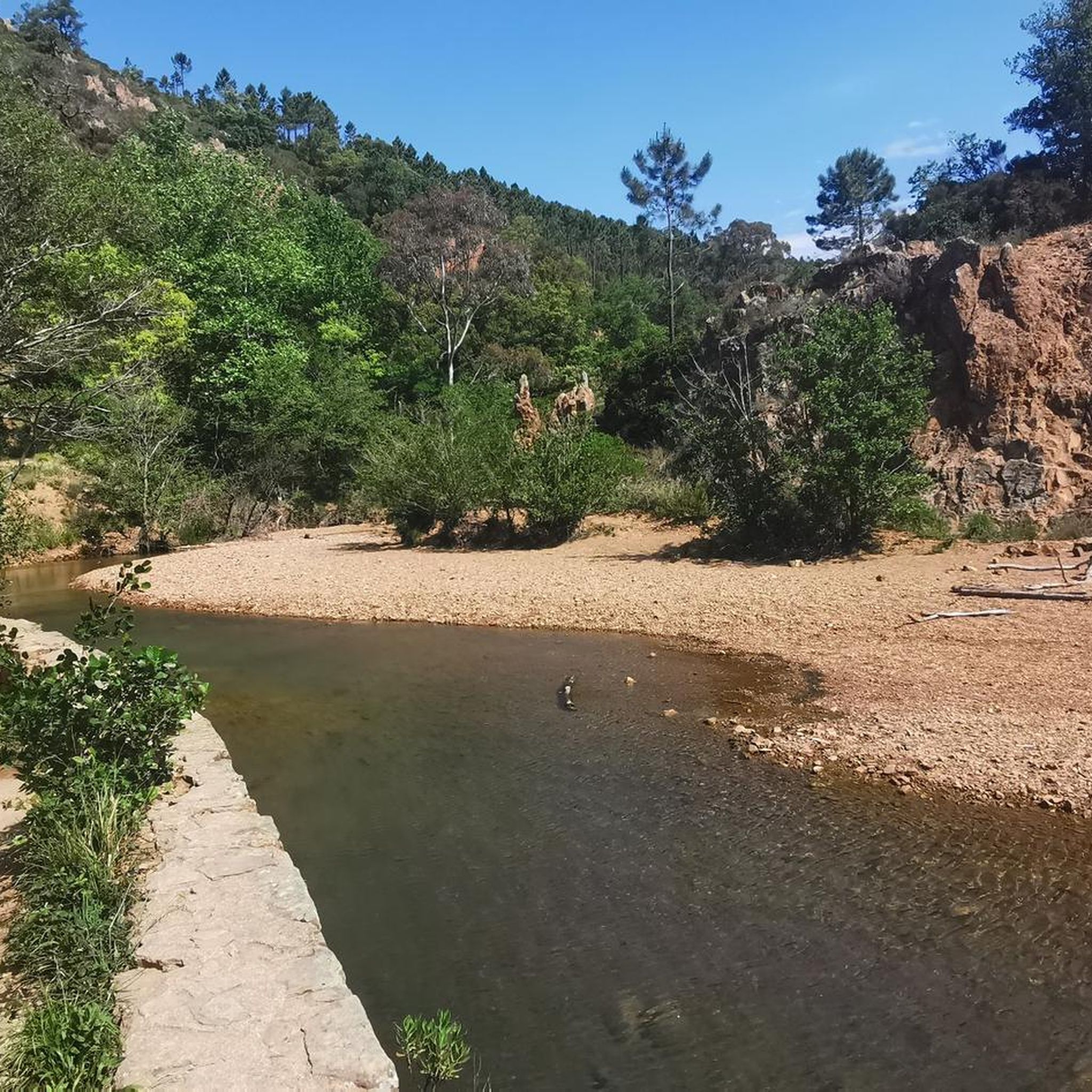
Road Cycling Routes in Réserve Biologique Dirigée De Mal-Infernet
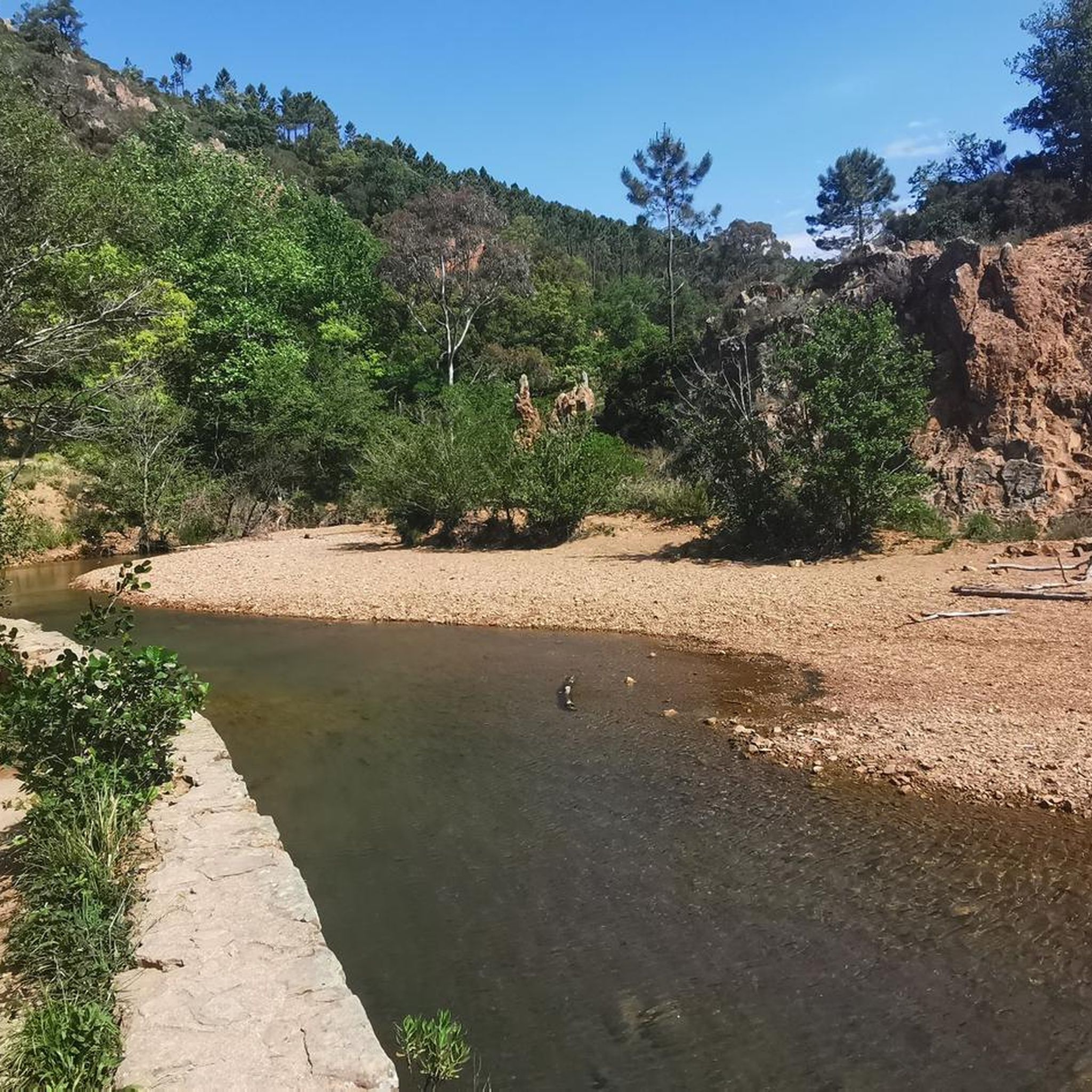
Hiking in Réserve Biologique Dirigée De Mal-Infernet
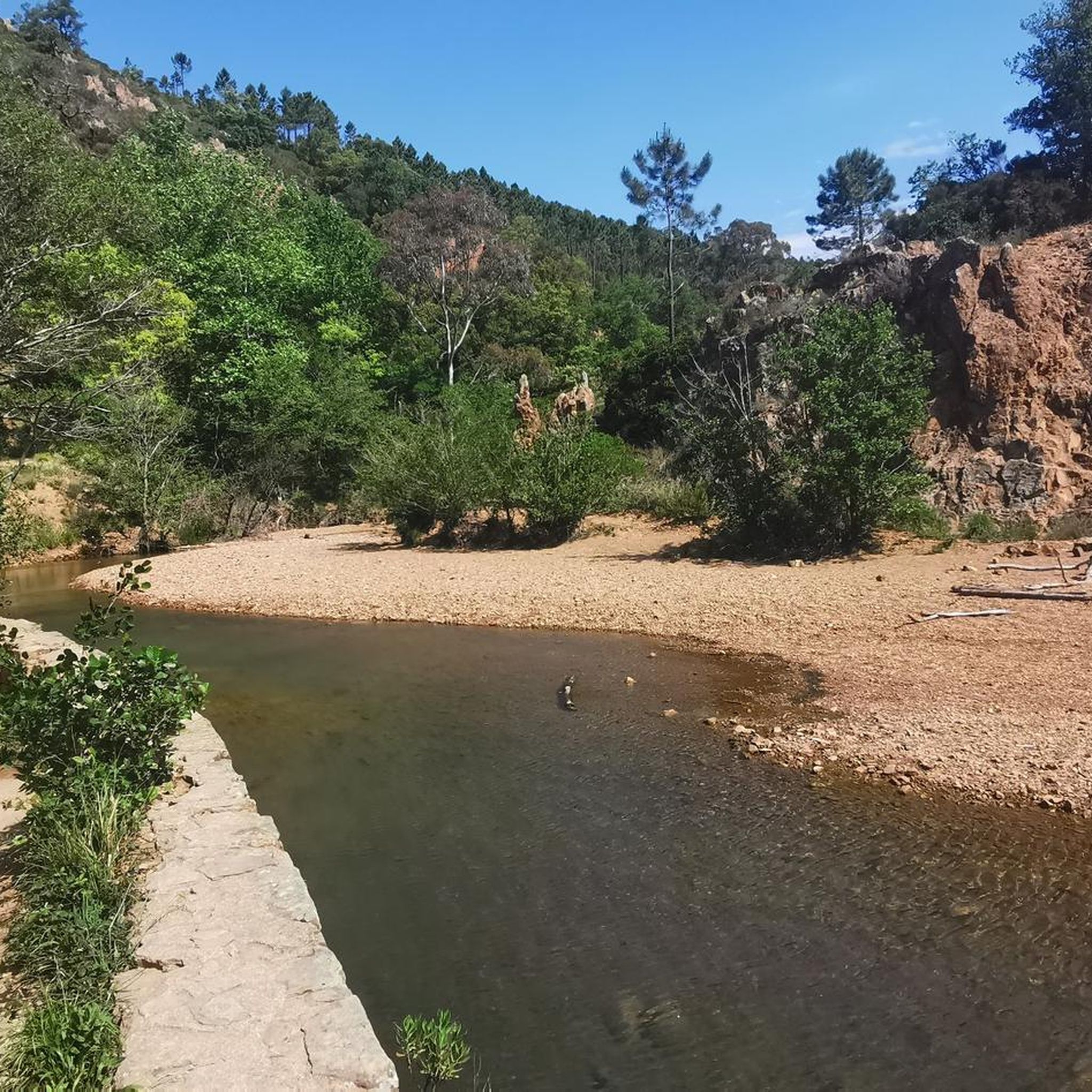
MTB Trails in Réserve Biologique Dirigée De Mal-Infernet
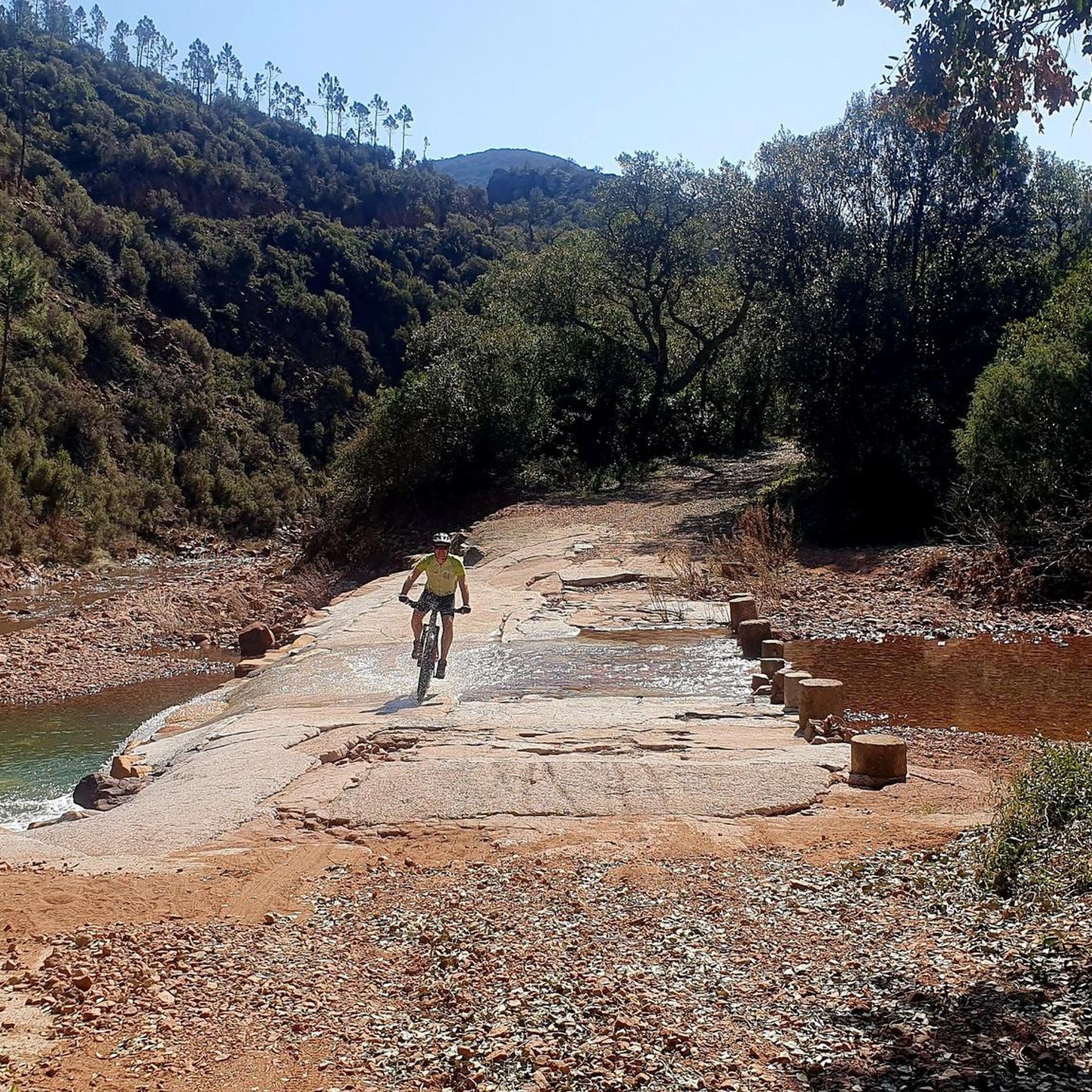
Cycling in Réserve Biologique Dirigée De Mal-Infernet
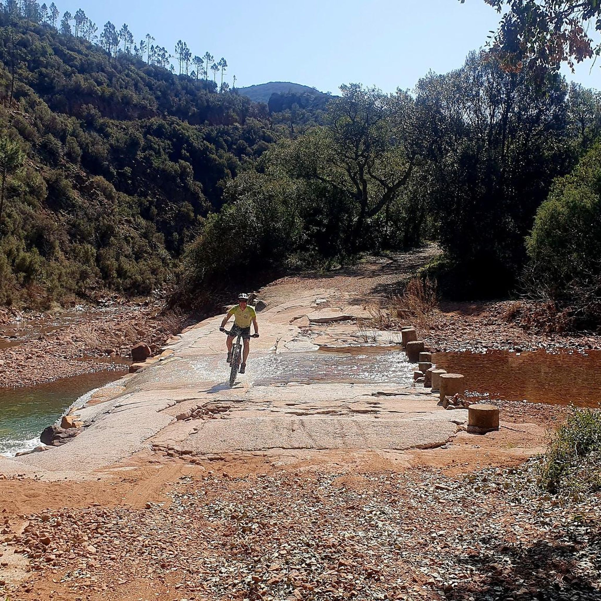
Running Trails in Réserve Biologique Dirigée De Mal-Infernet
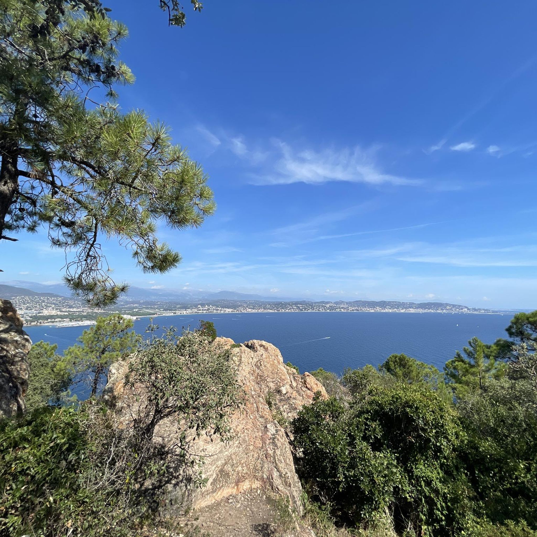
Gravel biking in Réserve Biologique Dirigée De Mal-Infernet
Tips from the Community

Indeed, there are many beautiful landscapes in the region and beautiful hikes also on the Esterel or the Mercantour 👍👍
0
0

superb view of ochre color
0
0
Incredible view
1
0
It's truly magnificent. I go there every year and I never tire of the view that I captured on my phone.
0
0

June 2025, a thin trickle at the source.
0
0

Access is quite tricky, with exposed sections equipped with ropes and cables, making it unsuitable for those prone to vertigo or who lack mountaineering skills. Beyond the access challenges, the site offers a magnificent panorama.
0
0
Please note that access is not easy and requires mountain feet. Avoid if you are afraid of heights. The route involves ropes and cables. But otherwise, it is magnificent.
0
0
Frequently Asked Questions
What are the general difficulty levels for mountaineering routes in Réserve Biologique Dirigée De Mal-Infernet?
The mountaineering routes in Réserve Biologique Dirigée De Mal-Infernet primarily feature moderate difficulty. While the guide data shows all listed routes as moderate, the region itself offers a range, with some trails like the Pic du Cap Roux - Small Loop being described as intermediate to difficult. This allows for varied experiences depending on your skill level.
Are there any specific access restrictions or permits required for mountaineering in the Réserve Biologique Dirigée De Mal-Infernet?
While general hiking is encouraged, it's worth noting that some purely pedestrian trails within the 'réserve biologique' may have restricted access. For specific mountaineering routes, always check local signage and official park information before heading out to ensure compliance with any regulations.
Can I bring my dog on the mountaineering trails in Réserve Biologique Dirigée De Mal-Infernet?
The region's policy regarding dogs on trails can vary. While the guide data doesn't specify, it's generally advisable to check with local park authorities or specific trail regulations within the Réserve Biologique Dirigée De Mal-Infernet before bringing your dog, especially in protected areas.
Are there longer mountaineering routes available for more extended adventures?
Yes, for those seeking longer excursions, routes like the View of the Mountains – Mount Vinaigre loop from Col du Testanier cover about 6.3 miles (10.2 km) and typically take around 3 hours 20 minutes. Another option is the Pic de l'Ours – Dent de l'Ours loop from Le Trayas, which is 5.4 miles (8.7 km) long.
Where can I find parking for the mountaineering routes in Réserve Biologique Dirigée De Mal-Infernet?
Many routes in the Réserve Biologique Dirigée De Mal-Infernet start from accessible points with parking. For example, the Pic du Cap Roux – Col du Cap Roux loop begins near Rocher de Saint-Barthélemy, and the Pic de l'Ours – Dent de l'Ours loop starts from Le Trayas. It's recommended to check the specific tour details on komoot for parking information at the trailhead.
What are some family-friendly mountaineering options in the Réserve Biologique Dirigée De Mal-Infernet?
While all listed routes are moderate, the shorter, scenic loops can be suitable for families with some hiking experience. The Pic du Cap Roux – Col du Cap Roux loop from Rocher de Saint-Barthélemy, at 2.6 miles (4.2 km), offers magnificent vistas and is a good option for a family outing, typically taking under two hours.
What is the best time of year for mountaineering in Réserve Biologique Dirigée De Mal-Infernet?
The Provence-Alpes-Côte d'Azur region, where the reserve is located, generally offers pleasant conditions for outdoor activities for much of the year. Spring and autumn provide milder temperatures, ideal for mountaineering. Summers can be hot, so early morning or late afternoon hikes are recommended, while winters are generally mild but can have occasional cooler, wetter days.
Are there any circular mountaineering routes in the reserve?
Yes, several routes in Réserve Biologique Dirigée De Mal-Infernet are circular, allowing you to return to your starting point without retracing your steps. Examples include the Pic du Cap Roux – Col du Cap Roux loop from Rocher de Saint-Barthélemy and the Pic de l'Ours – Dent de l'Ours loop from Le Trayas.
What interesting landmarks or natural features can I see along the mountaineering routes?
The reserve is rich in natural beauty. Along the routes, you can encounter the scenic Mal-Infernet Ravine, enjoy views from the Baladou Pass, and explore the Mal-Infernet Nature Reserve itself. The region is known for its red rock formations and panoramic views of the Mediterranean Sea.
How many mountaineering routes are available in Réserve Biologique Dirigée De Mal-Infernet?
There are at least 4 distinct mountaineering routes detailed in this guide for Réserve Biologique Dirigée De Mal-Infernet, all rated as moderate. These routes offer diverse experiences through the Esterel mountains.
What do other mountaineers enjoy most about the routes in Réserve Biologique Dirigée De Mal-Infernet?
The area is highly rated by the komoot community, with an average score of 4.0 stars. Reviewers often praise the magnificent vistas of the Mediterranean Sea and the Esterel peaks, as well as the diverse terrain featuring red rock formations, pines, and eucalyptus trees.
Are there any routes that offer particularly stunning views of the Mediterranean Sea?
Absolutely. The Pic du Cap Roux – Col du Cap Roux loop from Rocher de Saint-Barthélemy is specifically highlighted for its magnificent vistas of the Mediterranean Sea and the Esterel peaks, making it a popular choice for breathtaking coastal panoramas.
Most popular routes in Réserve Biologique Dirigée De Mal-Infernet
Most popular attractions in Réserve Biologique Dirigée De Mal-Infernet

Get inspired with the komoot mobile app


Explore more
Browse the best Mountain Hikes & Routes in other regions.
