The best mountain hikes in Rieka Orava
4.6
(23)
159
hikers
8
hikes
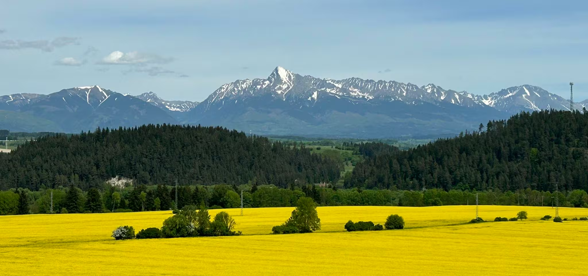
Mountaineering in Orava region Slovakia offers diverse and dramatic landscapes, characterized by significant mountain ranges and river ecosystems. The region features the Western Tatras (Roháče), known for their challenging peaks and passes, alongside the Malá Fatra and Chočské vrchy ranges. Geological formations include flysch rocks in the north and limestone cliffs, particularly prominent where the Orava River has eroded the landscape. These varied terrains provide extensive opportunities for mountaineering.
Best mountaineering routes in Rieka Orava
- The most popular mountaineering route is Chleb Peak – Na Grúni Hut loop from Malá Fatra National Park, a 7.2 miles (11.7 km) trail that takes 4 hours 50 minutes to complete. This route offers significant elevation gain through rugged mountain terrain.
- Another top favourite among local mountaineers is Veľký Kriváň – Chleb Peak loop from Malá Fatra National Park, a difficult 9.7 miles (15.6 km) path. It features substantial ascents and panoramic views across the Malá Fatra range.
- Local mountaineers also love the Vrátna Hut – Veľký Kriváň loop from Malá Fatra National Park, a 6.4 miles (10.3 km) trail leading through dramatic mountain passes, often completed in about 4 hours 52 minutes.
- Mountaineering in Rieka Orava is defined by dramatic mountain ranges, limestone cliffs, and river valleys. The network offers options for different ability levels, from moderate ascents to challenging ridge traverses.
- The routes in Rieka Orava are highly rated by the komoot community with an average score of 4.6 stars from more than 20 reviews. More than 150 mountaineers have used komoot to explore Rieka Orava's varied terrain.
Last updated: June 26, 2026
4.7
(3)
33
hikers
11.7km
04:50
930m
940m
Hard mountaineering route. Very good fitness required. Easily-accessible paths. Suitable for all skill levels.
5.0
(6)
28
hikers
15.6km
06:29
1,130m
1,130m
Hard mountaineering route. Very good fitness required. Mostly accessible paths. Sure-footedness required.

Sign up for free
5.0
(1)
14
hikers
10.2km
04:51
970m
980m
Hard mountaineering route. Very good fitness required. Mostly accessible paths. Sure-footedness required.
4.0
(2)
14
hikers
16.2km
06:19
1,170m
1,170m
Hard mountaineering route. Very good fitness required. Easily-accessible paths. Suitable for all skill levels.
5.0
(1)
9
hikers
8.47km
04:19
930m
930m
Hard mountaineering route. Very good fitness required. Mostly accessible paths. Sure-footedness required.
Get access to more routes and recommendations from other explorers.
Sign up for free
Already have an account?
Our route recommendations are based on thousands of hikes, rides, and runs completed by other people on komoot.
Start today with a free account
Your next adventure awaits.
Login or Signup

Other adventures in Rieka Orava

Tips from the Community


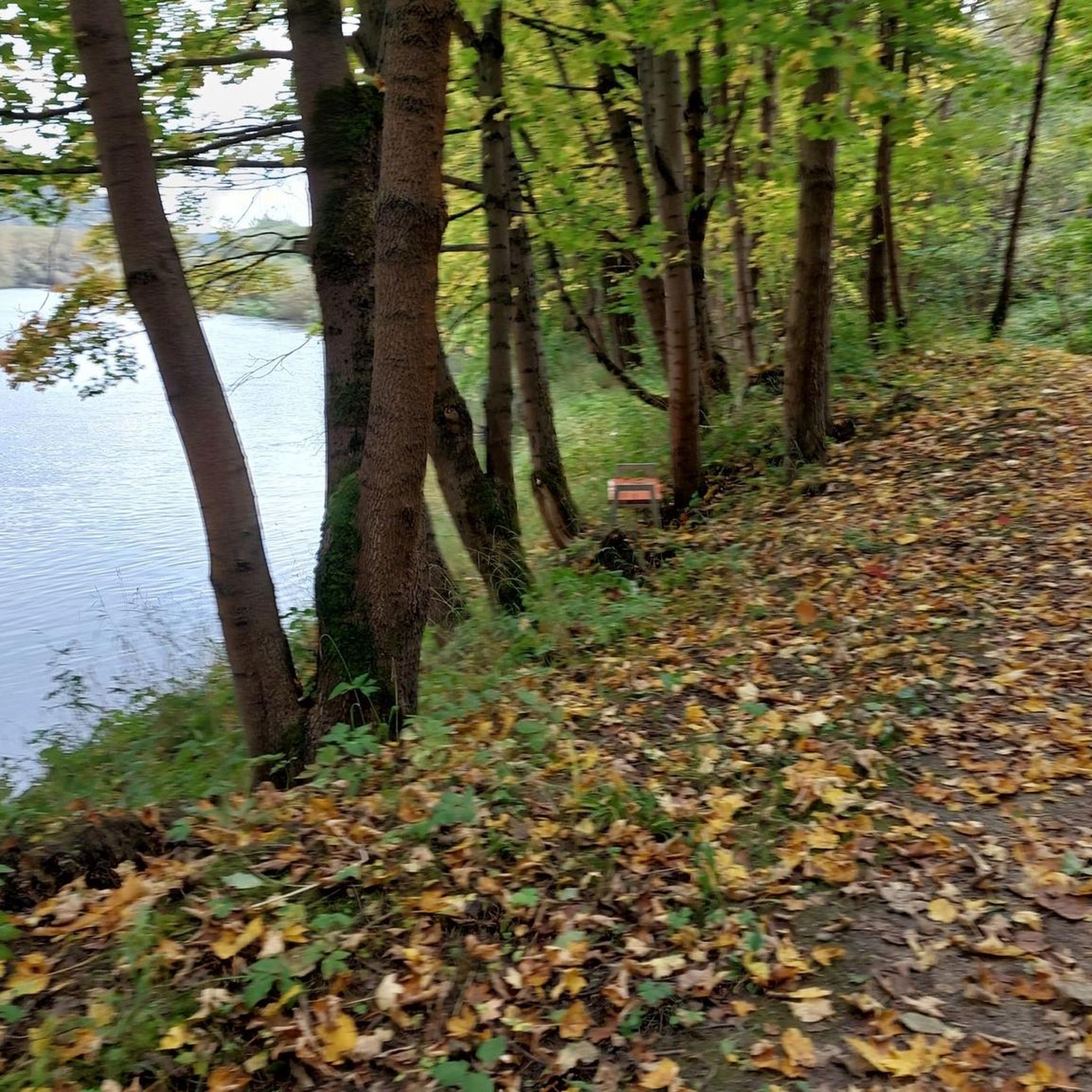
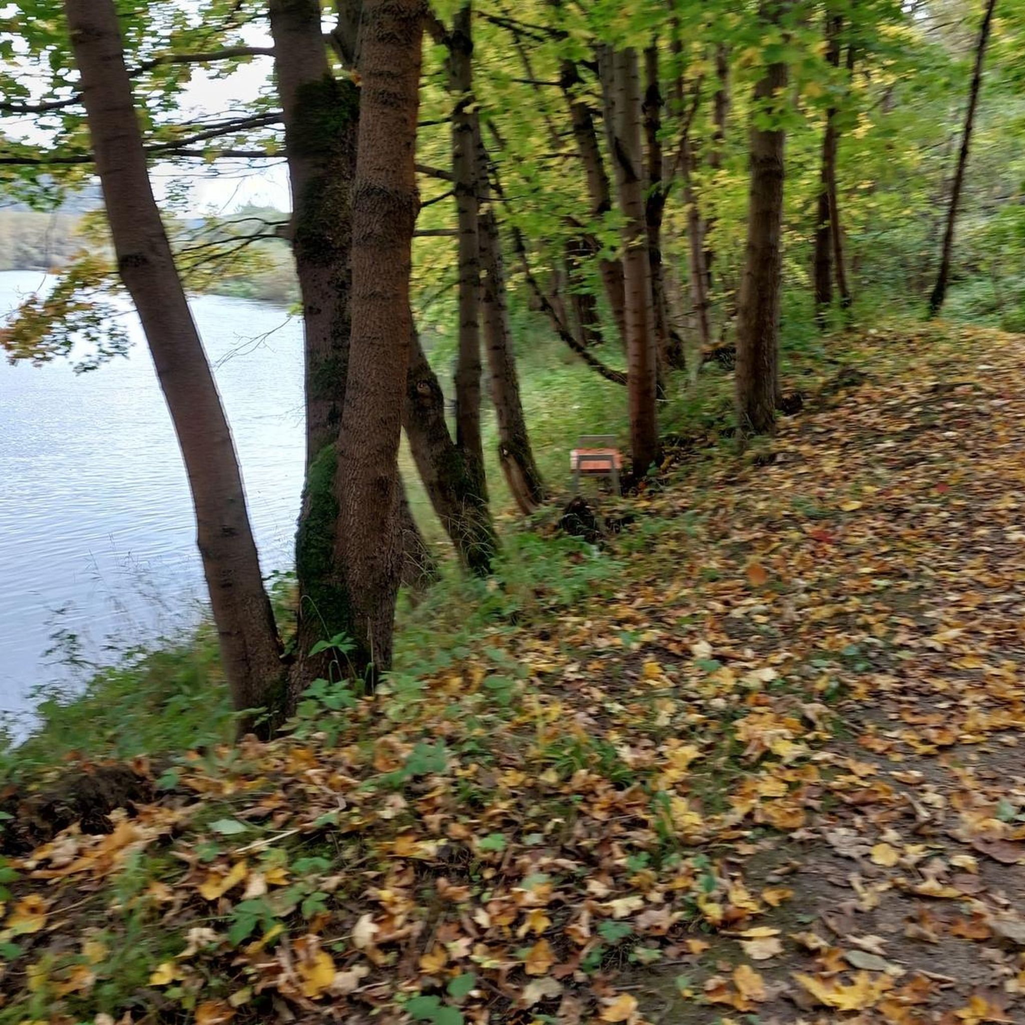
Here you can clean your dirty slippers!
0
0


Stage destination on the European long-distance hiking trail E3
0
0
Frequently Asked Questions
How many mountaineering routes are available in Rieka Orava?
There are 8 mountaineering routes available in Rieka Orava, offering a range of experiences from moderate ascents to challenging ridge traverses. These routes are highly rated by the komoot community.
What makes mountaineering in Rieka Orava unique?
Mountaineering in Rieka Orava is unique due to its diverse and dramatic landscapes. You'll find significant mountain ranges like the Western Tatras (Roháče) with challenging peaks and passes, alongside the Malá Fatra and Chočské vrchy. The region also features striking limestone cliffs, particularly where the Orava River has eroded the landscape, creating picturesque scenery.
What is the overall difficulty level of mountaineering routes in Rieka Orava?
The majority of mountaineering routes in Rieka Orava are considered difficult, with 6 out of 8 routes falling into this category. These often involve substantial ascents and rugged mountain terrain. There are also 2 moderate routes available for those seeking a less strenuous, yet rewarding, experience.
What do other mountaineers say about the routes in Rieka Orava?
The mountaineering routes in Rieka Orava are highly regarded by the komoot community, holding an average rating of 4.6 stars from over 20 reviews. Mountaineers often praise the dramatic mountain passes, panoramic views, and the challenging nature of the terrain.
Are there any challenging mountaineering routes for experienced climbers?
Yes, for experienced climbers seeking a challenge, the Vrátna Hut – Spring below Chata na Grúni loop from Malá Fatra National Park is a difficult 16.1 km route with over 1,100 meters of elevation gain. It offers a demanding experience through rugged mountain terrain.
Are there any moderate mountaineering routes suitable for those looking for a less strenuous climb?
Yes, for a moderate mountaineering experience, consider the Veľký Kriváň loop from Malá Fatra National Park. This route is 4.7 km long with around 260 meters of elevation gain, offering a rewarding climb without the extreme demands of the more difficult trails.
What interesting landmarks or attractions can I see near the mountaineering routes?
Beyond the trails, Rieka Orava offers several notable attractions. You can visit the majestic Orava Castle, perched dramatically on a limestone hill above the Orava River. Other points of interest include the Kubiński Covered Bridge and the natural monument of Biela Skala. The Riverside Path Along the Orava River also offers scenic views.
Is public transport available to reach mountaineering trailheads in Rieka Orava?
Public transport options exist, particularly to larger towns and villages in the Orava region. However, reaching specific, more remote trailheads for mountaineering routes often requires local bus services or pre-arranged transport. It's advisable to check local bus schedules in advance, especially for routes leading into the Western Tatras (Roháče) or Malá Fatra National Park.
Where can I find parking for mountaineering routes in Rieka Orava?
Designated parking areas are typically available at popular trailheads and near major attractions like Orava Castle or the Orava Dam. For routes within national parks or protected areas, look for official parking lots, which may require a fee. Always ensure you park in designated spots to avoid fines and protect the natural environment.
Are there any permits required for mountaineering in the Rieka Orava region?
While general hiking in most areas of Rieka Orava does not require specific permits, some parts of the Western Tatras (Roháče) fall within the Tatra National Park, where certain regulations apply. It's always best to check with local park authorities or information centers for the latest rules, especially if you plan to venture into more sensitive or protected zones.
Are there any family-friendly mountaineering options in Rieka Orava?
While many mountaineering routes in Rieka Orava are challenging, the region also offers easier hiking trails suitable for families. For instance, educational trails like the Educational Trail of Forest Transformation or the Juráňová Valley provide a less strenuous experience. When choosing a route, consider the distance and elevation gain to ensure it matches your family's ability.
Can I bring my dog on mountaineering routes in Rieka Orava?
Bringing dogs on trails in Rieka Orava is generally permitted, but specific rules apply in national parks and protected areas, such as parts of the Western Tatras. Dogs must typically be kept on a leash. Always check local regulations for the specific area you plan to visit, as some sensitive wildlife zones may have stricter restrictions.
What is the best time of year for mountaineering in Rieka Orava?
The best time for mountaineering in Rieka Orava is typically from late spring to early autumn (May to October). During these months, the weather is generally more stable, and trails are free of snow and ice. Autumn offers stunning foliage, while summer provides warmer temperatures. Winter mountaineering is possible but requires specialized equipment and experience due to snow and ice conditions.
Are there any circular mountaineering routes in Rieka Orava?
Yes, many of the mountaineering routes in Rieka Orava are designed as circular loops, allowing you to start and end at the same point. Examples include the Chleb Peak – Na Grúni Hut loop and the Veľký Kriváň – Chleb Peak loop, both offering comprehensive tours of the mountain landscape.
Most popular routes in Rieka Orava
Most popular attractions in Rieka Orava

Get inspired with the komoot mobile app


