The best mountain hikes in Pr Travný
5.0
(4)
68
hikers
6
hikes
Mountaineering routes in Pr Travný are centered around Praděd, the highest peak in the Hrubý Jeseník range, standing at 1,491 meters (4,892 ft). The landscape features an alpine tundra environment above 1,300 meters, characterized by treeless expanses and distinctive peak rocks. Below the treeline, diverse forests of beech and spruce dominate, transitioning into deep river valleys like the Bílá Opava, known for its waterfalls and cascades. This region offers varied terrain for mountaineering, from challenging ascents to paths through protected…
Last updated: June 26, 2026
5.0
(1)
9
hikers
11.1km
04:21
810m
810m
Moderate mountaineering route. Good fitness required. Easily-accessible paths. Suitable for all skill levels.
9
hikers
16.4km
05:43
880m
880m
Hard mountaineering route. Very good fitness required. Easily-accessible paths. Suitable for all skill levels.

Sign up for free
5.0
(2)
27
hikers
14.9km
05:15
840m
840m
Hard mountaineering route. Very good fitness required. Mostly accessible paths. Sure-footedness required.
6
hikers
15.8km
05:42
960m
960m
Hard mountaineering route. Very good fitness required. Mostly accessible paths. Sure-footedness required.
13
hikers
16.0km
05:34
900m
900m
Hard mountaineering route. Very good fitness required. Easily-accessible paths. Suitable for all skill levels.
Our route recommendations are based on thousands of hikes, rides, and runs completed by other people on komoot.
Start today with a free account
Your next adventure awaits.
Login or Signup
Tips from the Community


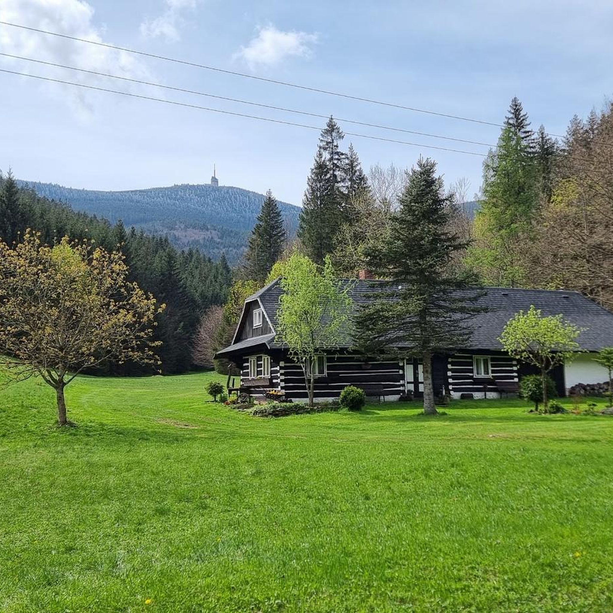
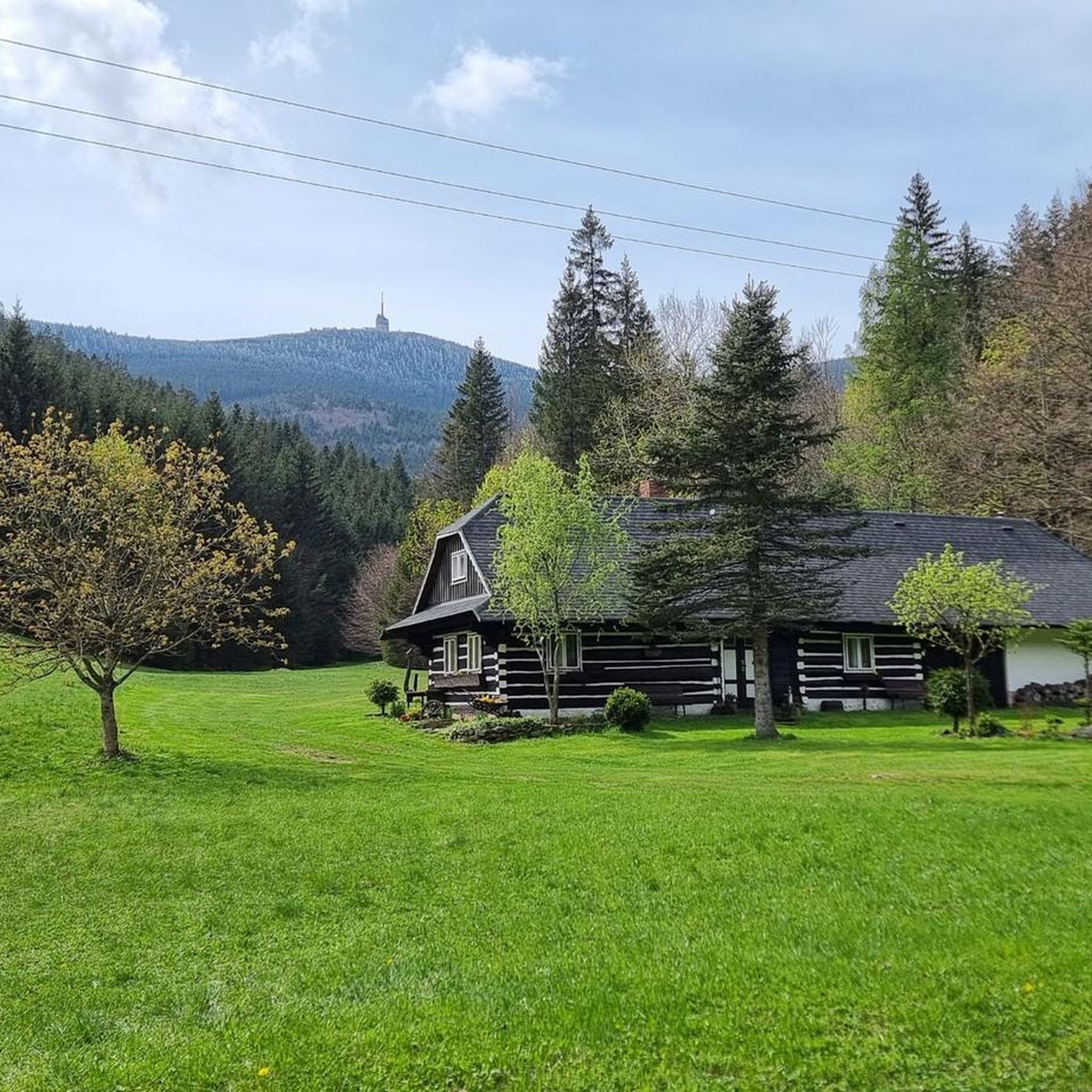
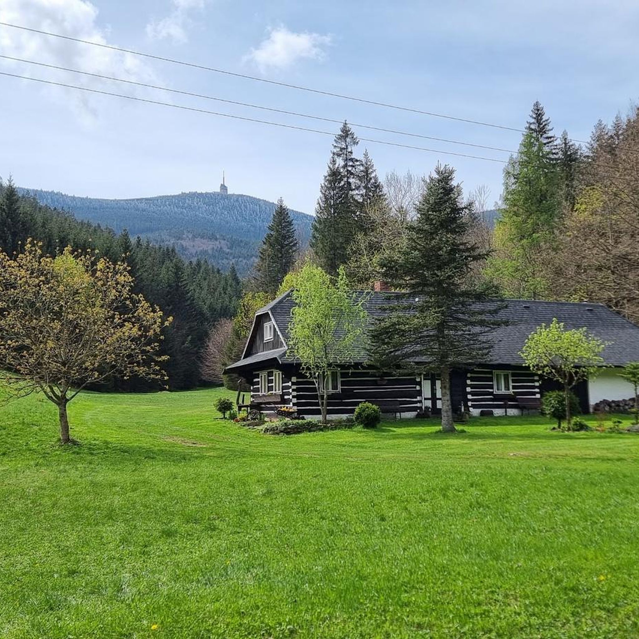
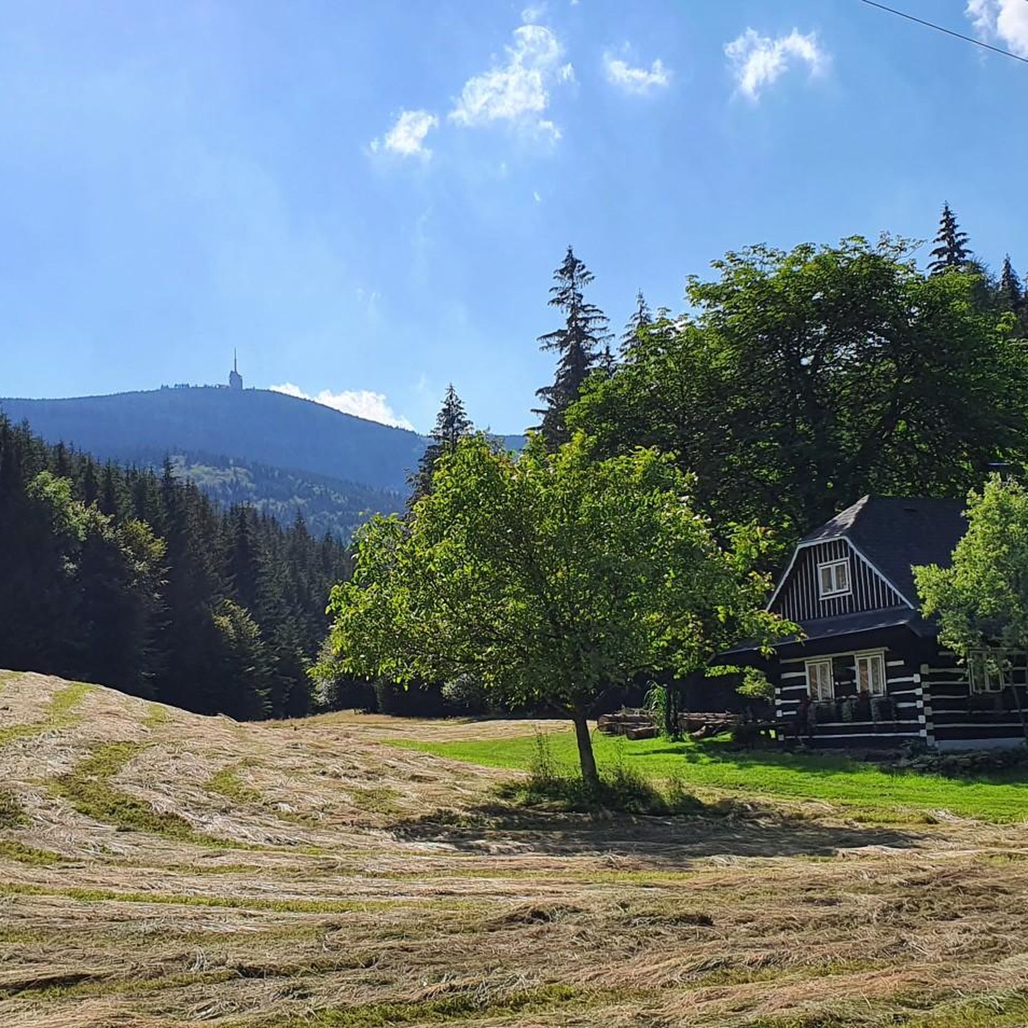
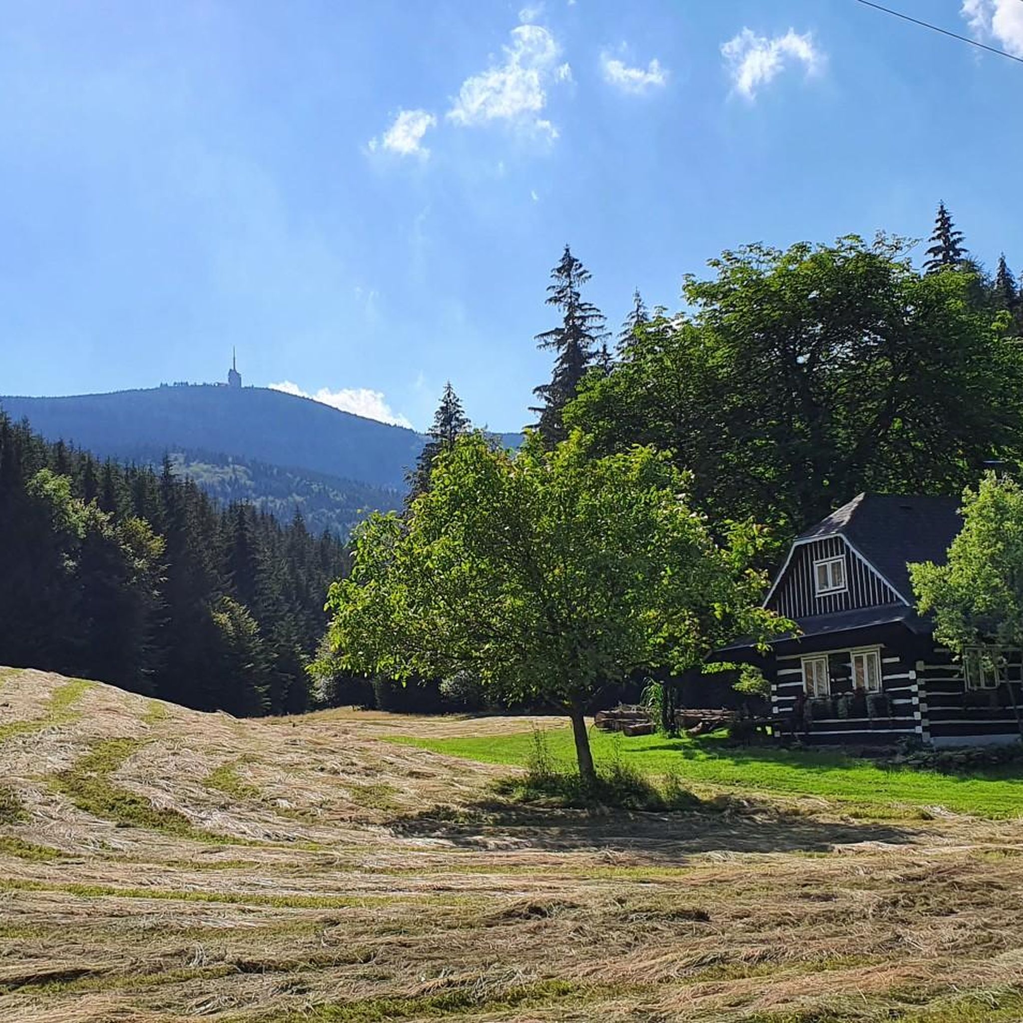
Lysá hora is the highest point of the Moravian-Silesian Beskydy Mountains (1324 metres). The summit part, the so-called Gigula, is located above the tree line.
1
0
Yes, it is worth approaching from this side as well
0
0
Beautiful place. Iconic mountain of our neighbors. Several trails from different sides. Worth it
2
0


Frequently Asked Questions
Are there mountaineering routes suitable for beginners in Pr Travný?
While many routes in Pr Travný are considered difficult, there are options for those with moderate experience. For example, the Malchor – Chata Emil Zátopek - Maraton loop from Krásná is a moderate 6.7-mile trail that offers a significant elevation gain but is manageable for those with a good fitness level.
What are some challenging mountaineering routes for experienced climbers in Pr Travný?
For experienced mountaineers seeking a challenge, Pr Travný offers several difficult routes. The Lysá Hora summit (1,324 m) loop from Krásná is a demanding 10.2-mile path with expansive views. Another excellent option is the Lysá Hora summit (1,324 m) loop from Ostravice, which features over 950 meters of elevation gain.
Are there any family-friendly mountaineering options or attractions in Pr Travný?
While many mountaineering routes are challenging, the region offers natural attractions that can be enjoyed by families. The educational trail along the Bílá Opava river is particularly noteworthy, featuring numerous waterfalls and cascades. This area provides a more accessible way to experience the natural beauty of the Jeseníky Mountains, though some sections may involve footbridges and ladders.
Can I find circular mountaineering routes in Pr Travný?
Yes, all the featured mountaineering routes in Pr Travný are designed as circular loops, allowing you to start and end at the same point. This includes popular options like the U Veličků Hut – Lysá Hora Summit loop from Malenovice and the Lysá Hora Summit loop from Ostravice.
When is the best time of year for mountaineering in Pr Travný?
The best time for mountaineering in Pr Travný is typically from late spring to early autumn (May to October), when the trails are clear of snow and the weather is generally more stable. This allows you to fully appreciate the alpine tundra and diverse forest stands. However, conditions can change rapidly at higher elevations, so always check the forecast.
What are the conditions like for winter mountaineering in Pr Travný?
Pr Travný transforms into a popular winter sports destination, but winter mountaineering requires specific preparation. The area experiences significant snowfall, and conditions can be challenging, with trails often covered in snow and ice. The highest ski resort in the Czech Republic is nearby, and the season often runs from late October to early May, indicating the severity of winter conditions at altitude.
Where can I find parking for mountaineering routes in Pr Travný?
Mountaineering routes in Pr Travný often start from towns like Krásná, Malenovice, or Ostravice. While specific parking details for each trailhead are not provided, these towns typically offer designated parking areas for visitors accessing the mountains. It's advisable to check local signage upon arrival for the most accurate parking information.
Are there places to eat or rest along the mountaineering routes in Pr Travný?
Yes, at the summit of Praděd, you'll find the prominent TV Transmitter which houses a hotel and a restaurant. This provides an excellent opportunity for a meal or a rest stop with breathtaking panoramic views during or after your mountaineering adventure.
What natural features or landmarks can I expect to see on the trails in Pr Travný?
The region is rich in unique natural features. You can expect to encounter the distinctive alpine tundra environment above 1,300 meters, characterized by treeless expanses. Notable geological formations include Petrovy kameny ('Peter's stones'), a gneiss stone formation near the peak. The Bílá Opava River valley also offers stunning natural weirs, waterfalls, and cascades.
What do other mountaineers enjoy the most about mountaineering in Pr Travný?
The area is highly rated by the komoot community, with an average score of 5.0 stars from over 3 reviews. Reviewers often praise the diverse terrain, from challenging ascents to paths through protected natural reserves, and the expansive views from the summits. The unique alpine tundra environment and the natural beauty of river valleys with waterfalls are frequently highlighted.
Is wildlife spotting possible while mountaineering in Pr Travný?
Praděd and its surroundings are part of the Praděd National Nature Reserve, the largest national nature reserve in the Czech Republic. This reserve protects crucial ecosystems and is home to rare alpine communities. While specific wildlife sightings are not guaranteed, the preserved natural environment offers opportunities to observe local flora and fauna, particularly in the quieter sections of the trails.
Are there any educational trails in the Pr Travný region?
Yes, the educational trail along the Bílá Opava river is a notable feature. It leads through a lush valley with numerous waterfalls and cascades, providing insights into the local ecosystem. This trail involves footbridges, ladders, and even chains for climbing rocky gorges, offering an engaging experience for those interested in the region's natural history.

Get inspired with the komoot mobile app


Explore more
Browse the best Mountain Hikes & Routes in other regions.
