The best MTB trails in Upper Trent River Woodlands
5.0
(8)
564
riders
19
rides
Mountain biking in Upper Trent River Woodlands, located near Cumberland in British Columbia, offers a diverse network of trails. The region is characterized by rugged terrain, dense forests, and significant elevation changes, with trails often winding alongside creeks and the Trent River. This landscape provides a variety of technical features, including roots and challenging descents, catering primarily to experienced riders. Dedicated climbing trails also facilitate access to downhill sections within the area's extensive trail systems.
Best mountain bike trails in…
Last updated: July 4, 2026
5.0
(3)
184
riders
32.6km
03:23
790m
790m
Hard mountain bike ride. Good fitness required. Advanced riding skills necessary. Some portions of the route may require you to push your bike.
21
riders
27.4km
02:44
580m
580m
Hard mountain bike ride. Good fitness required. Advanced riding skills necessary. Some portions of the route may require you to push your bike.

Sign up for free
23
riders
7.44km
00:43
130m
130m
Moderate mountain bike ride. Great for any fitness level. Advanced riding skills necessary.
14
riders
11.9km
01:07
240m
240m
Moderate mountain bike ride. Great for any fitness level. Advanced riding skills necessary.
8
riders
10.8km
01:02
220m
220m
Hard mountain bike ride. Great for any fitness level. Advanced riding skills necessary. Some portions of the route may require you to push your bike.
Get access to more routes and recommendations from other explorers.
Sign up for free
Already have an account?
Our route recommendations are based on thousands of hikes, rides, and runs completed by other people on komoot.
Start today with a free account
Your next adventure awaits.
Login or Signup

Tips from the Community

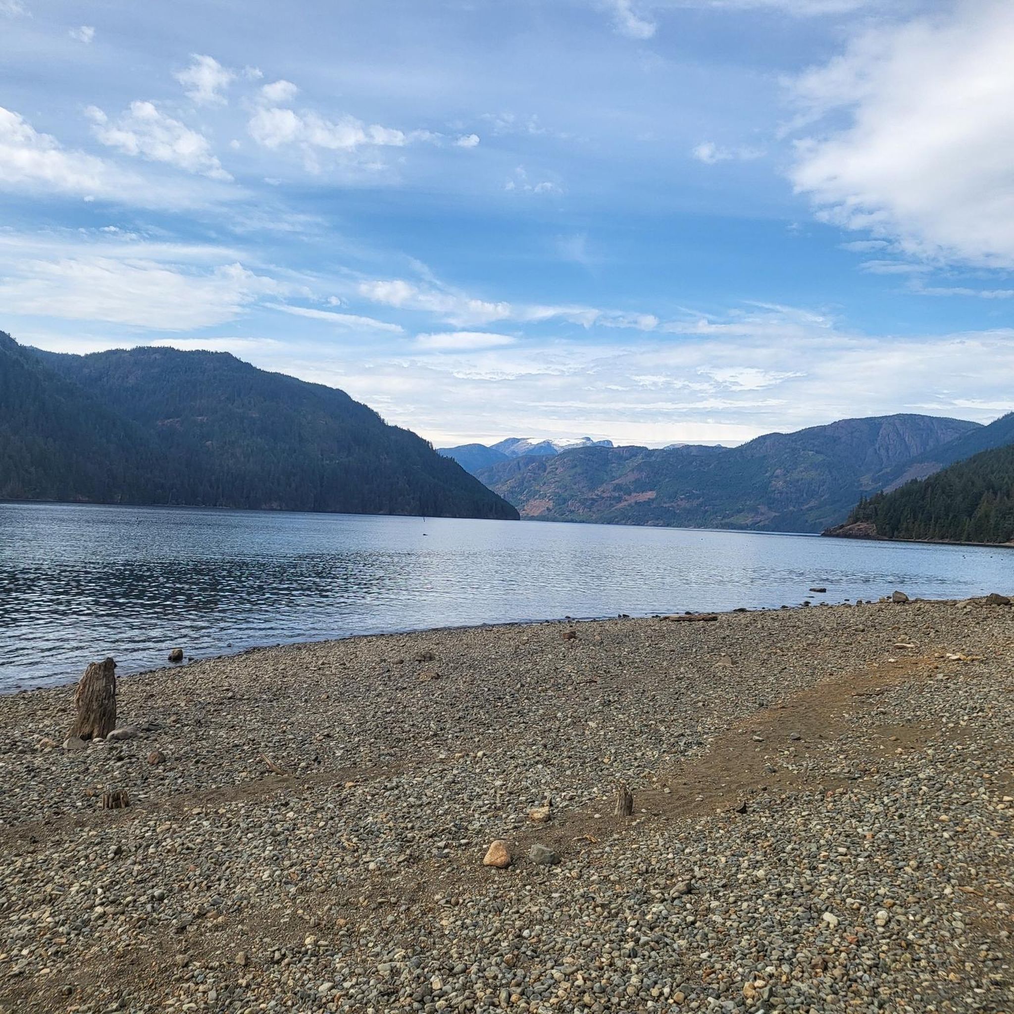
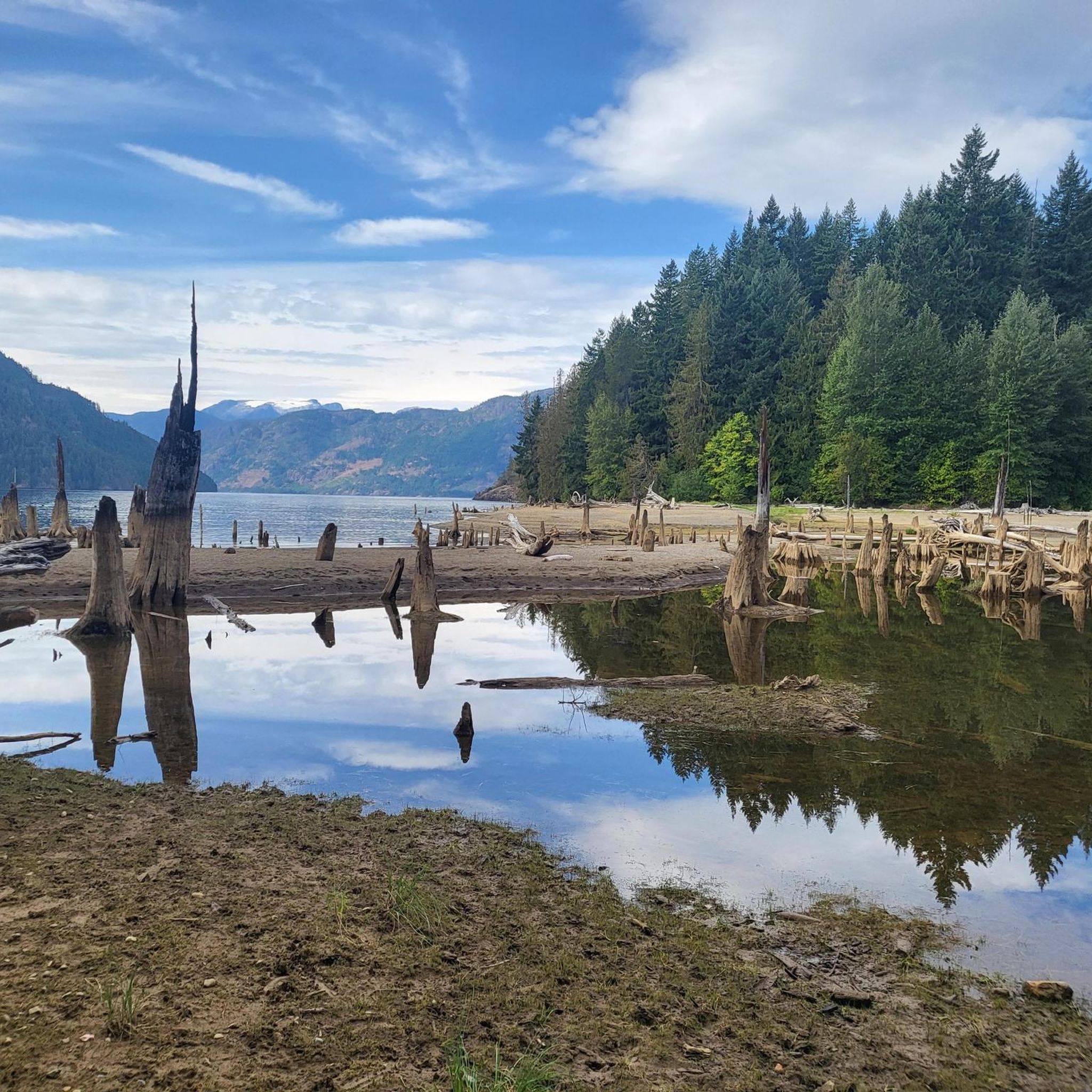
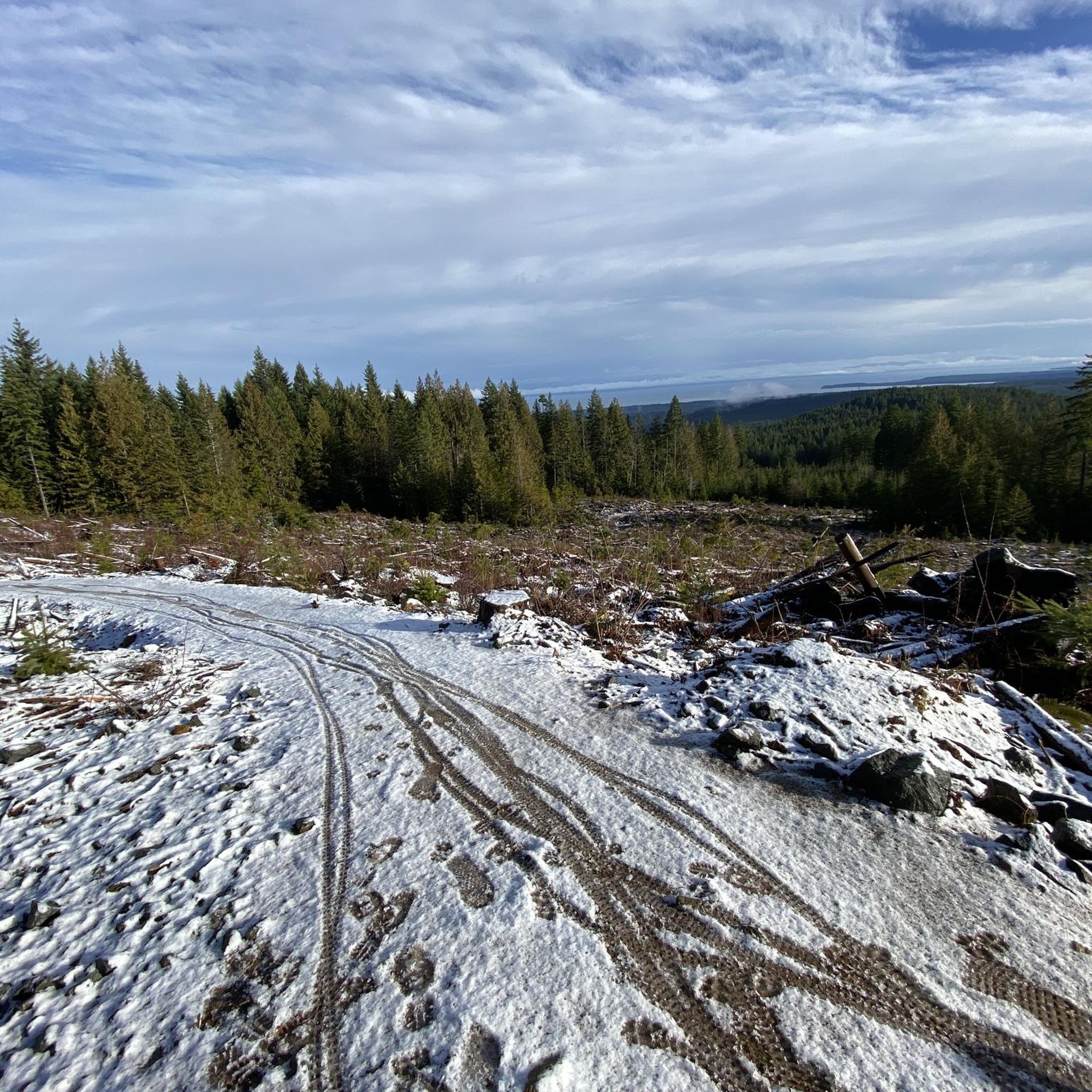
Davis Lake Main is an old, wide gravel logging road, now used for recreation. It is usually smooth but after heavy rain it can become rutted, and muddy. It takes hikers and bikers through forests of Douglas fir and western hemlock, and past Perseverance Creek and China Pools.
0
0
Cumberland Community Forest stretches more than 500 acres, and is mostly second-growth coastal forest with a web of well-maintained trails. These trails are open to hiking, mountain biking, trail running.
0
0
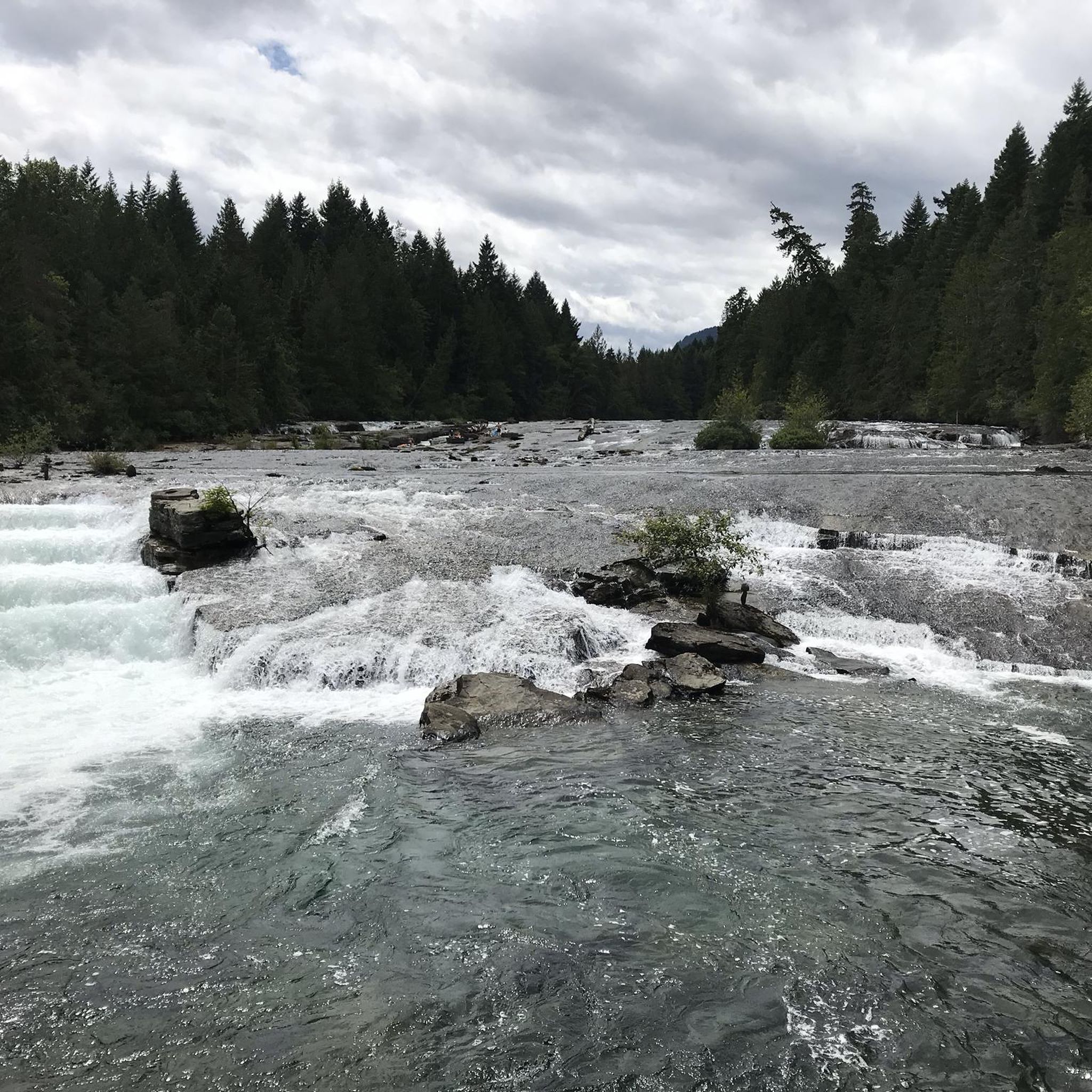
The China Bowls are created by Perseverance Creek, which flows with cold and clear water, smoothing stone ledges into deep basins that glow turquoise when the sun hits them. The pools are named after the nearby historic Chinatown site, and are surrounded by ferns, cedars, and Douglas fir.
0
0

Frequently Asked Questions
How many mountain bike trails are there in Upper Trent River Woodlands?
The Upper Trent River Woodlands area offers over 20 mountain bike trails. These routes are primarily designed for moderate to difficult skill levels, providing a diverse network for riders.
What is the typical terrain like for mountain biking in Upper Trent River Woodlands?
The terrain is characterized by rugged landscapes, dense forests, and significant elevation changes. Trails often wind alongside creeks and the Trent River, featuring technical sections with roots and challenging descents. Some trails, like the Upper Trent Canyon, are known for their 'full-on' nature and proximity to the water.
Are there mountain bike trails suitable for beginners in Upper Trent River Woodlands?
The trails in Upper Trent River Woodlands are predominantly for moderate to difficult ability levels. While there are 6 moderate routes, the region is more geared towards experienced riders due to its challenging features and technical sections. There are no trails classified as easy in the provided data.
What are some challenging mountain bike routes for experienced riders?
Experienced riders will find plenty of challenging options. The Davis Lake Main – China Bowls loop from Cumberland is a difficult 20.3-mile route with significant elevation changes. Another demanding option is the Cumberland Community Forest – China Bowls loop from Cumberland, a difficult 17.0-mile path known for its technical sections. The Cumberland Community Forest loop from Cumberland also offers a difficult 10.7-mile ride.
Are there any circular mountain bike routes in the area?
Yes, many of the mountain bike routes in Upper Trent River Woodlands are loops. Examples include the Davis Lake Main – China Bowls loop from Cumberland, the Fuji Jim Mountain loop from Cumberland, and the Cumberland Community Forest – Davis Lake Main loop from Cumberland.
Can I bring my dog on the mountain bike trails?
Information regarding specific dog policies for mountain bike trails in Upper Trent River Woodlands is not explicitly provided in the guide data or regional research. It's always best to check local regulations or signage at trailheads, especially in areas managed by groups like the United Riders of Cumberland (UROC), as rules can vary.
Are there family-friendly mountain bike options?
The Upper Trent River Woodlands area primarily features trails for moderate to difficult skill levels, with a strong emphasis on challenging routes. While some moderate trails exist, the rugged terrain and technical features might be less suitable for younger children or beginner family riders. It's advisable to assess individual trail descriptions carefully for suitability.
What natural features or landmarks can I expect to see while mountain biking?
You can expect to encounter a rich natural environment. Trails often offer views of the Upper Trent Canyon, winding through forests, including old-growth sections with abundant roots. The presence of creeks and the Trent River itself adds to the scenic beauty, with some trails riding directly beside the water after significant descents.
Is there parking available near the mountain bike trails?
While the guide data does not specify exact parking locations, the trails are located near Cumberland, British Columbia, a known mountain biking hub. It is common for such areas to have designated parking facilities at or near trailheads. We recommend checking local Cumberland resources or trail network maps for specific parking information.
What is the best time of year to go mountain biking in Upper Trent River Woodlands?
The guide data does not specify the best time to visit. However, given the region's natural occurrences like fallen trees from heavy rain, it's generally advisable to check local trail conditions before heading out, especially during or after periods of significant precipitation. Spring through fall typically offers the most favorable conditions for mountain biking in similar regions.
What do other mountain bikers say about the trails in Upper Trent River Woodlands?
The area is highly rated by the komoot community, with an average score of 5.0 stars from 8 reviews. Over 500 mountain bikers have used komoot to explore the varied terrain, often praising the challenging nature, diverse landscapes, and the well-maintained network of trails, despite the demanding features.
How long are the mountain bike trails in Upper Trent River Woodlands?
Trail lengths vary significantly. For instance, the Davis Lake Main – China Bowls loop from Cumberland is 20.3 miles (32.6 km), while the Fuji Jim Mountain loop from Cumberland is 10.4 miles (16.8 km). There are also shorter moderate routes like the Cumberland Community Forest – Davis Lake Main loop from Cumberland at 7.4 miles (11.9 km).
Most popular routes in Upper Trent River Woodlands

Get inspired with the komoot mobile app


Explore more
Browse the best MTB trails in other regions.
