The best mountain hikes in Forêt De Saint-André
4.8
(9)
26
hikers
2
hikes
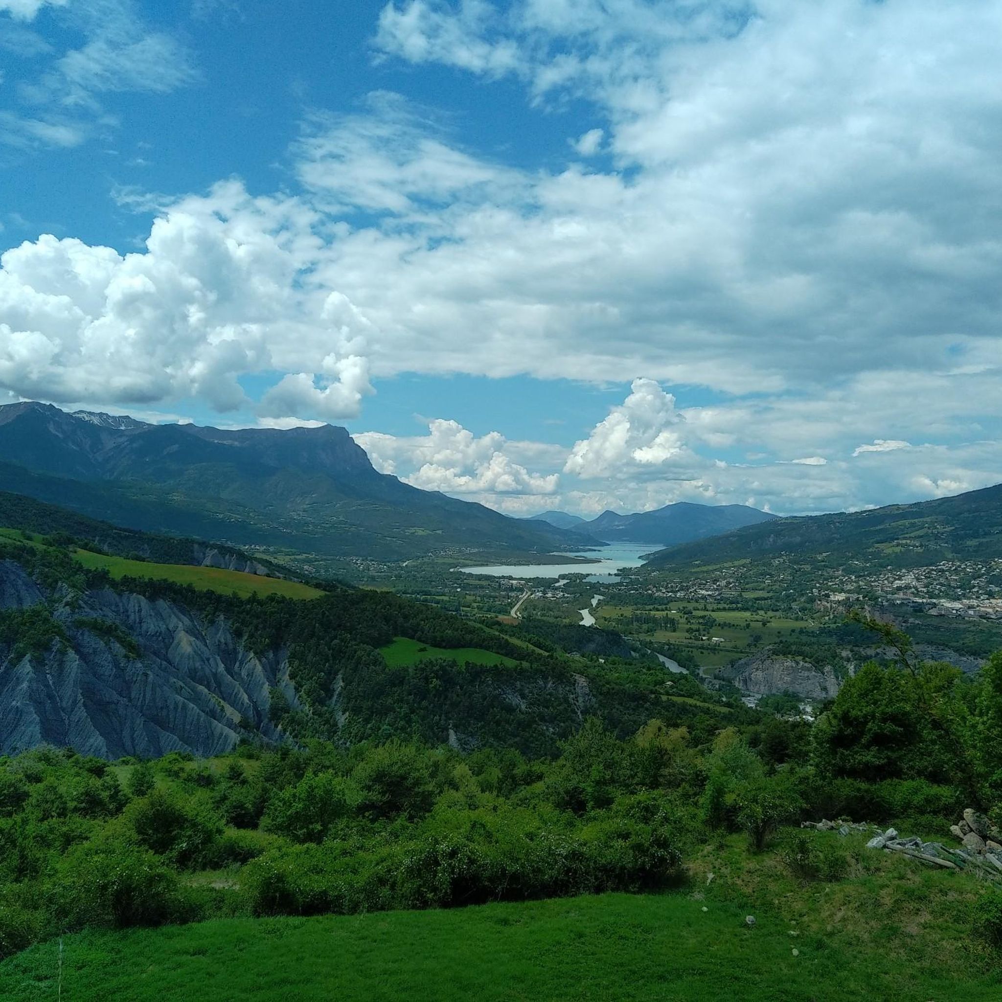
Mountaineering routes in Forêt De Saint-André are situated in a mountainous region of the French Alps, characterized by significant elevation changes and forested landscapes. The terrain includes challenging ascents and descents, with routes often leading through dense woodlands and offering expansive valley views. This area provides a range of mountaineering experiences, from moderate paths to more demanding trails requiring alpine experience.
Best mountaineering routes in Forêt De Saint-André
- The most popular mountaineering route is Mountaineering loop from Embrun, a…
Last updated: July 4, 2026
4.5
(2)
8
hikers
9.31km
04:16
760m
770m
Moderate mountaineering route. Good fitness required. Mostly accessible paths. Sure-footedness required.
5.0
(7)
14
hikers
11.3km
04:19
590m
590m
Moderate mountaineering route. Good fitness required. Mostly accessible paths. Sure-footedness required.

Sign up for free
4
hikers
11.2km
05:14
730m
730m
Hard mountaineering route. Very good fitness required. Mostly accessible paths. Sure-footedness required.
Our route recommendations are based on thousands of hikes, rides, and runs completed by other people on komoot.
Start today with a free account
Your next adventure awaits.
Login or Signup
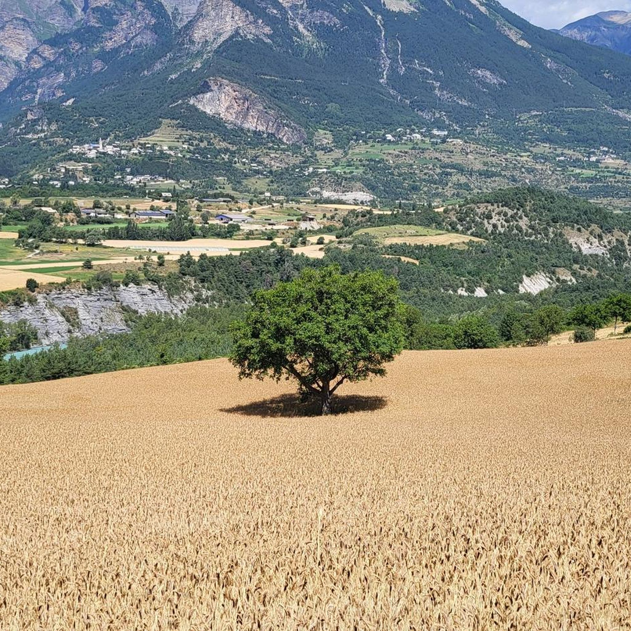
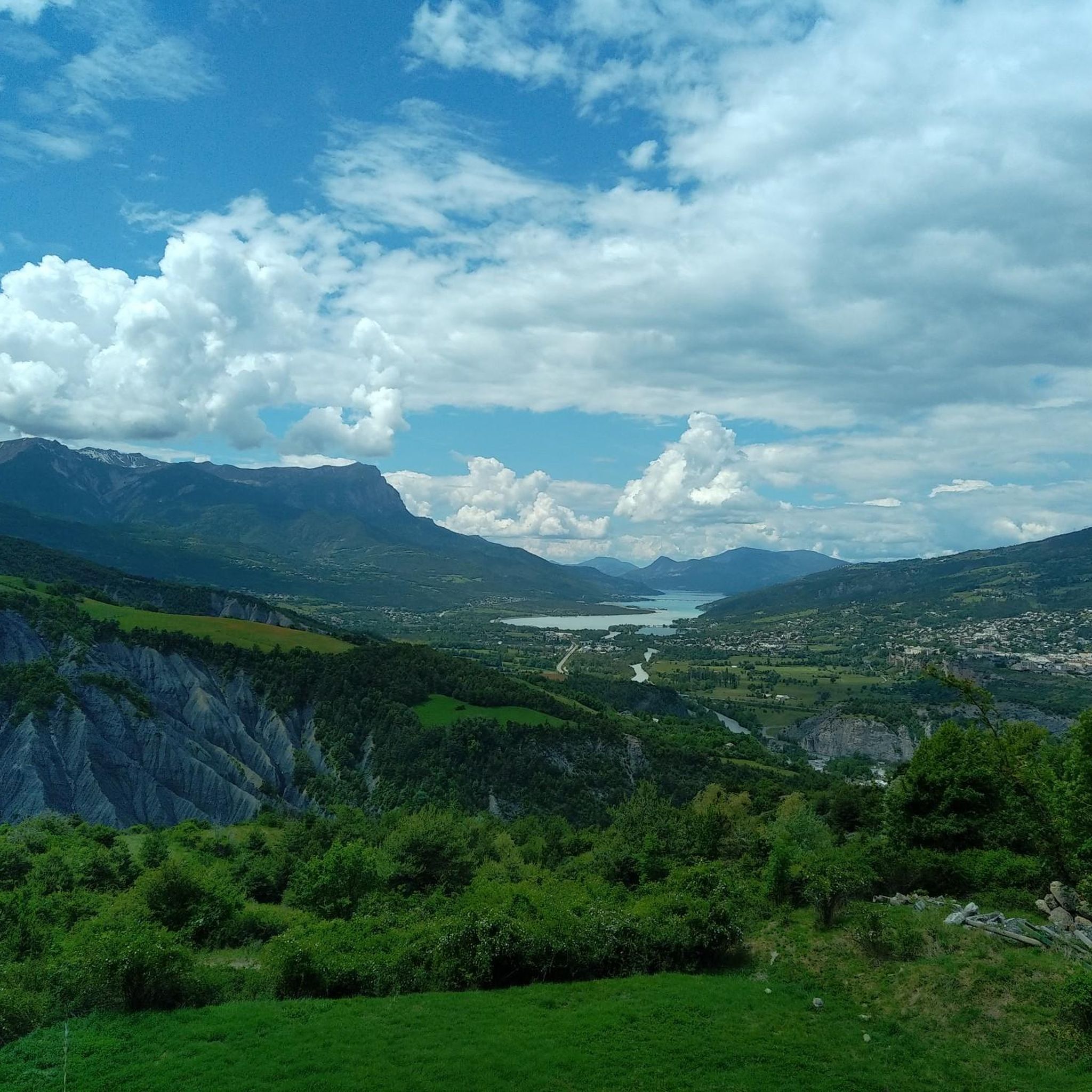

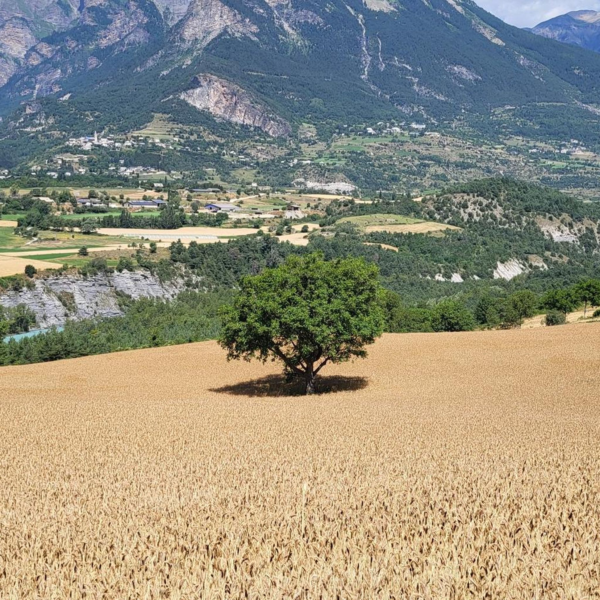
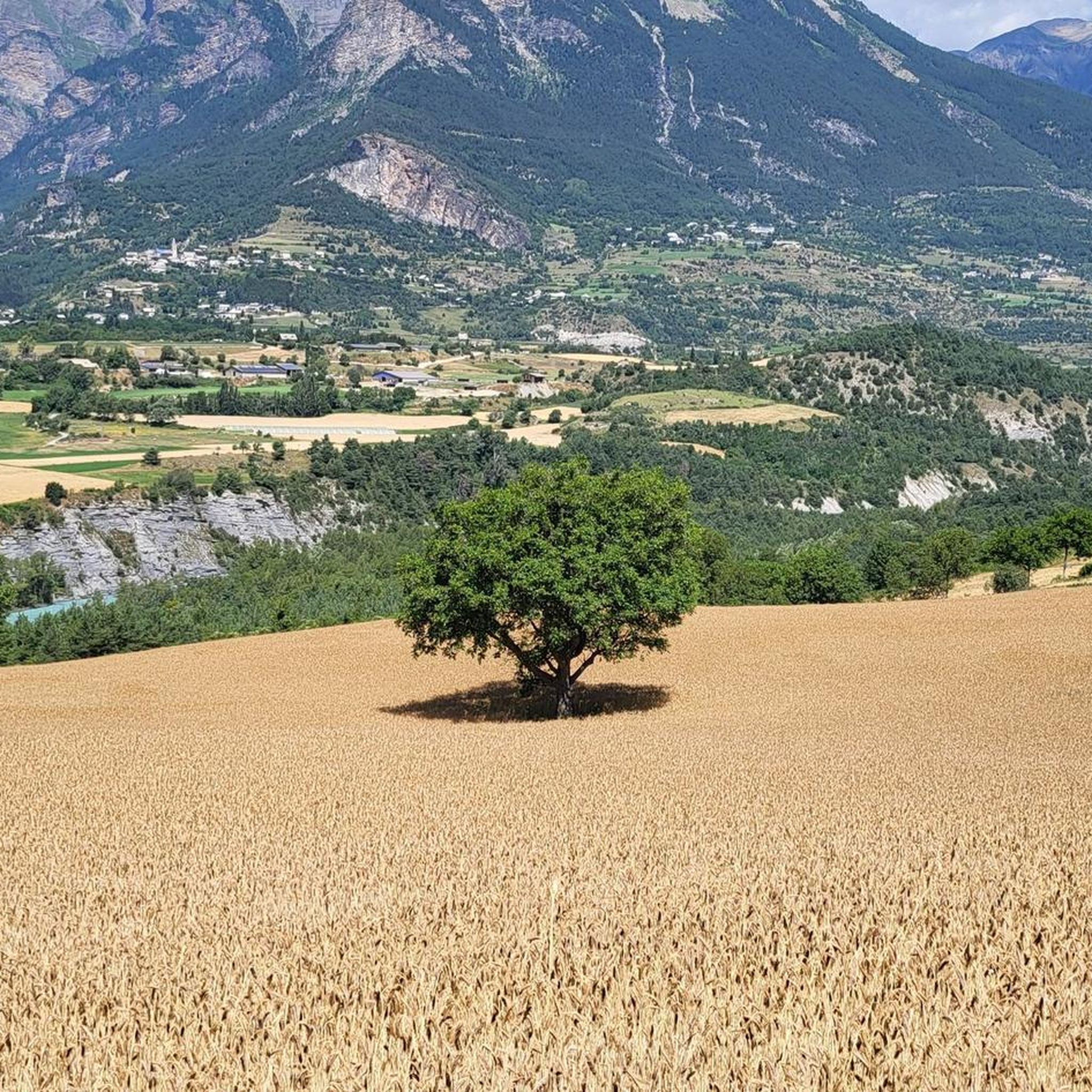
Tips from the Community

A summit with wonderful views: from the Barre des Ecrins to the Pic de Rochebrune. Reached from Ponteil, towards Cabane de l'Alp, and a portage from 2,700 m along the NE ridge. Technical descent (S3/S4) from the SW ridge.
0
0

Unfortunately, swimming is not allowed in the lake, it is prohibited
1
2
If you go there following "Waze", from Embrun, once you have taken the road which goes up (route de Caléyère), stay on the road and do not follow the Waze directions which send you onto unpaved private roads (which do not do not shorten the journey)
1
0

The Tête de Vautisse peaks at 3,156 meters above sea level. In good weather, you can enjoy a panorama of Mont Blanc, Mont Viso, and Mont Ventoux.
1
0

Steep up and beautiful nature, more awaits at the end of the route
2
1
Nice walk but beware if you have a dog, keep your distance from the cows, bulls are not so fond of it
2
1

a superb hike that can be done with the family. we can picnic and see marmots if we climb on the dish a little bit higher.
4
1
A small mountain lake perched in the middle of nowhere at 2370m. Here we are alone in the world, far from the noise, but in the company of marmots on the hill above. A superb view. Be careful though, this hike is quite difficult. Avoid with young children.
1
0
Frequently Asked Questions
How many mountaineering routes are available in Forêt De Saint-André?
There are 4 dedicated mountaineering routes in Forêt De Saint-André, offering a range of experiences from moderate to difficult challenges.
What is the best time of year for mountaineering in Forêt De Saint-André?
The ideal time for mountaineering in Forêt De Saint-André is generally from late spring to early autumn, specifically June to September. During these months, trails are typically free of snow, and weather conditions are more stable, making high mountain passes accessible.
Are there any beginner-friendly mountaineering routes in Forêt De Saint-André?
While there are no routes classified as 'easy', Forêt De Saint-André does offer moderate mountaineering options suitable for those with some experience. For example, the Lac de l'Hivernet loop from Parking de la Forêt is a moderate 9.2 km route that takes about 4 hours 15 minutes to complete, leading through alpine landscapes.
Are there any challenging mountaineering routes for experienced climbers?
Yes, Forêt De Saint-André features several difficult routes for experienced mountaineers. The Mountaineering loop from Embrun is a demanding 23.6 km trail with substantial elevation gain, typically requiring around 9 hours to complete. Another difficult option is the Mountaineering loop from Parking de la Forêt, a 11.8 km path with challenging ascents.
What kind of natural features can I expect to see along the mountaineering routes?
Mountaineering routes in Forêt De Saint-André offer diverse natural features. You'll encounter significant elevation changes, leading to panoramic views of surrounding peaks and valleys. The terrain includes dense woodlands, alpine meadows, and high-altitude lakes like Lac de l'Hivernet and Lac de Sainte-Marguerite. The region is also known for its rich biodiversity, especially within the Partias reserve, which hosts varied alpine flora and fauna.
Are there any circular mountaineering routes in the area?
Yes, several routes in Forêt De Saint-André are circular. Examples include the challenging Mountaineering loop from Embrun, the difficult Mountaineering loop from Parking de la Forêt, and the moderate Lac de l'Hivernet loop from Parking de la Forêt.
Are the mountaineering routes in Forêt De Saint-André suitable for families?
Mountaineering routes in Forêt De Saint-André are generally challenging due to significant elevation changes and rugged terrain. While there are moderate options, families with younger children or those seeking very easy walks might find these routes demanding. It's advisable to check the specific route's difficulty and elevation profile before setting out with a family.
Can I bring my dog on the mountaineering trails in Forêt De Saint-André?
The Forêt De Saint-André region, being part of the French Alps, generally welcomes dogs on trails, but specific regulations can vary, especially in protected areas like the Partias reserve. It's always recommended to keep dogs on a leash to protect wildlife and ensure their safety on challenging terrain. Check local signage for any restrictions before your trip.
What do other mountaineers say about the routes in Forêt De Saint-André?
The mountaineering routes in Forêt De Saint-André are highly rated by the komoot community, with an average score of 4.8 stars from over 10 reviews. Mountaineers often praise the challenging mountain paths, the beauty of the forested sections, and the stunning high-altitude lakes encountered along the way.
Are there any historical or cultural landmarks along the routes?
While the primary focus is on natural landscapes, the broader region around Forêt De Saint-André does feature historical elements. You might encounter ancient chapels, such as the Chapelle Saint-Blaise or Montruard chapel, and centuries-old open-air irrigation canals of the Briançonnais region, adding cultural interest to your exploration.
Is public transport available to access the mountaineering routes?
Access to specific trailheads in mountainous regions like Forêt De Saint-André often requires personal transport. While some larger towns in the Maurienne valley may have public transport links, direct access to many remote starting points for mountaineering routes is typically limited. Planning for car access or local taxi services is generally recommended.
Where can I find parking for the mountaineering routes?
Many mountaineering routes, such as the Mountaineering loop from Parking de la Forêt and the Lac de l'Hivernet loop from Parking de la Forêt, indicate starting points with available parking. It's common for trailheads to have designated parking areas, though capacity can vary. Always check the route details for specific parking information.
Most popular routes in Forêt De Saint-André

Get inspired with the komoot mobile app


Explore more
Browse the best Mountain Hikes & Routes in other regions.
