The best walks and hikes in Липовичка Шума
4.8
(23)
186
hikers
5
hikes
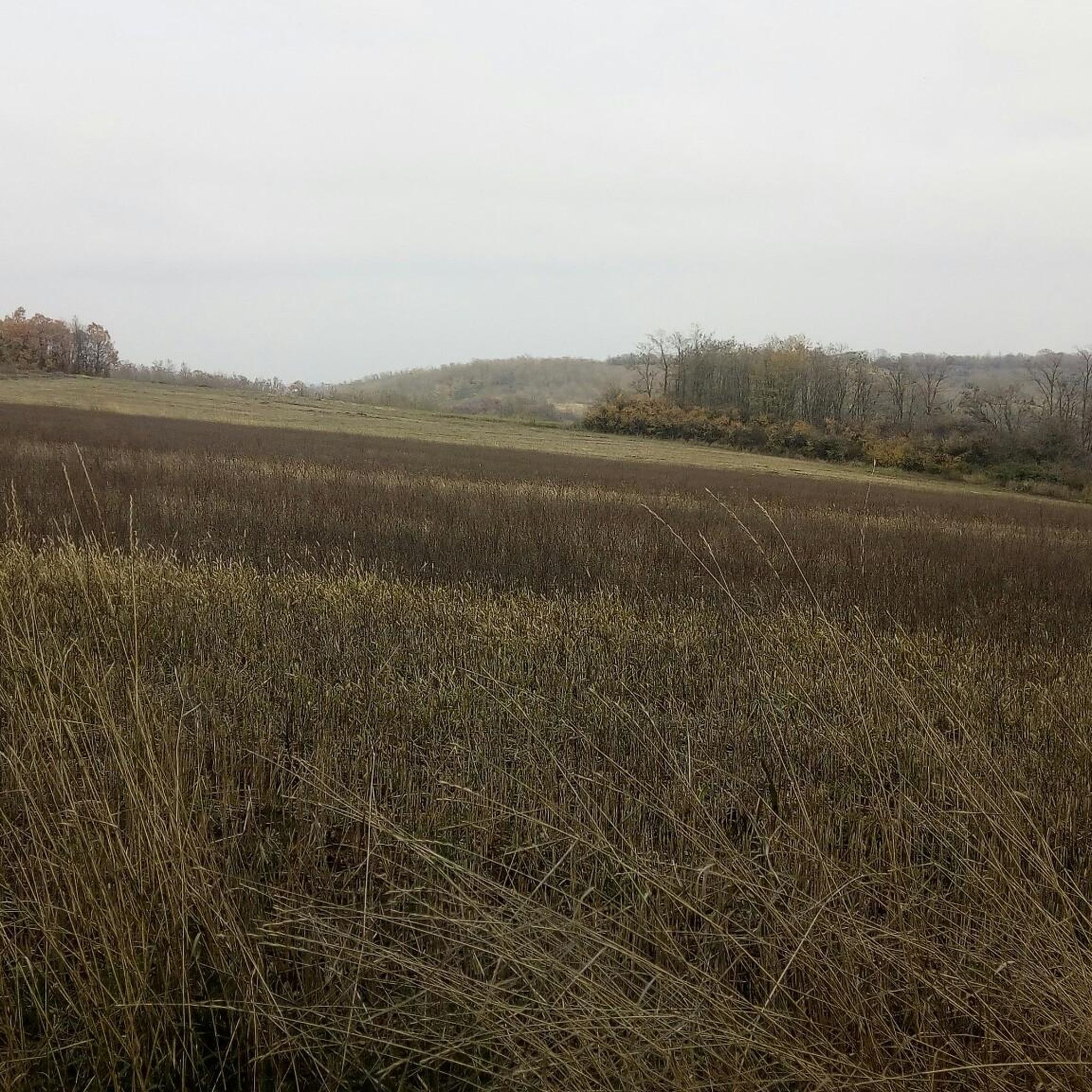
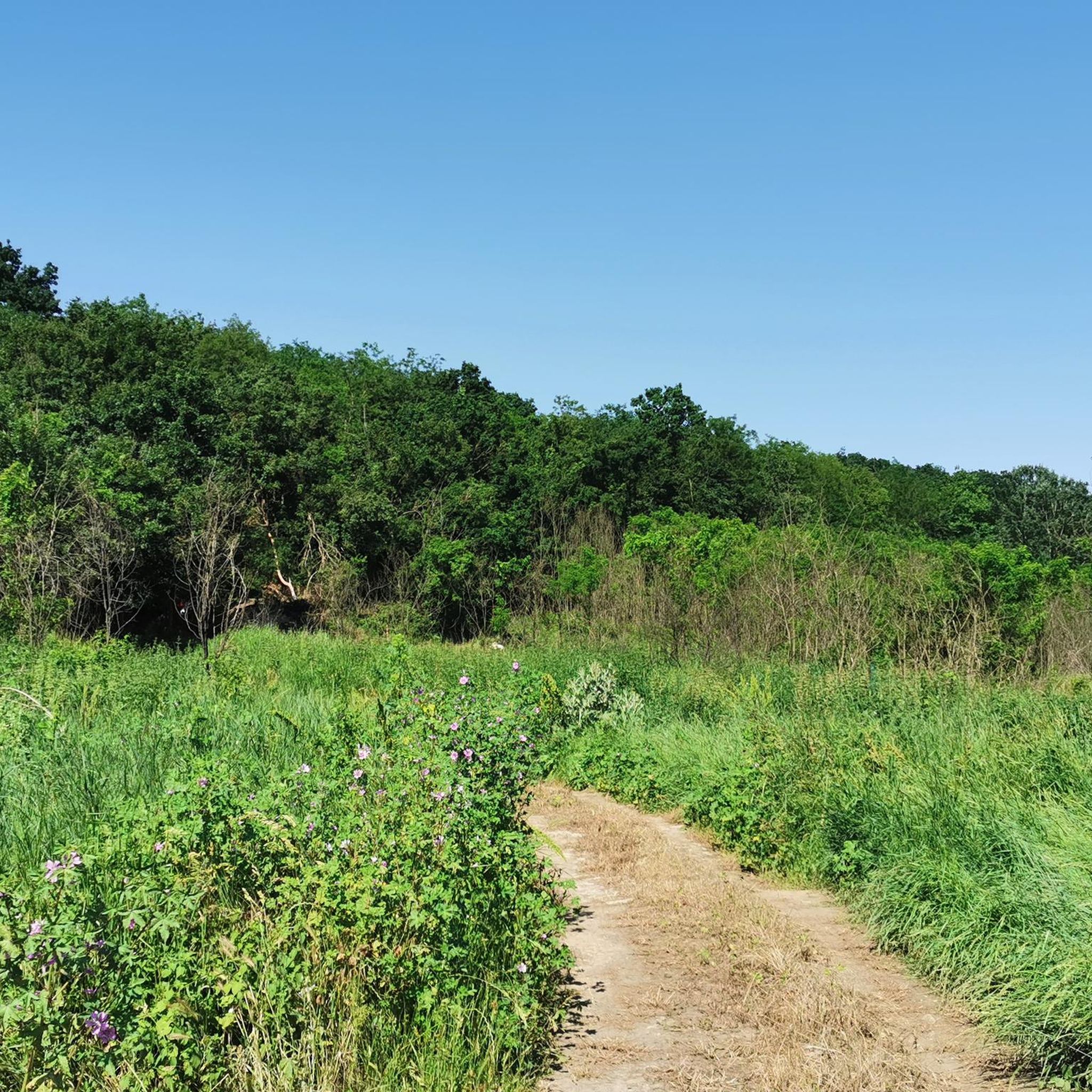
Hiking in Липовичка Шума offers access to a natural landscape approximately 20 to 25 kilometers southwest of Belgrade. This forest spans over 1,200 hectares, characterized by a gently undulating plateau with elevations ranging from 160 to 290 meters above sea level. The terrain features a mix of forests, open meadows, and pastures, with Hungarian oak and Turkish oak being the dominant tree species. Natural water sources, including several springs and the source of the Topčiderka river, are present within the…
Last updated: July 4, 2026
4.7
(7)
93
hikers
5.59km
01:47
230m
230m
Easy hike. Great for any fitness level. Easily-accessible paths. Suitable for all skill levels.
5.0
(2)
19
hikers
8.46km
02:34
280m
280m
Moderate hike. Good fitness required. Easily-accessible paths. Suitable for all skill levels.

Sign up for free
10
hikers
6.94km
02:08
240m
240m
Moderate hike. Good fitness required. Easily-accessible paths. Suitable for all skill levels.
4.5
(4)
3
hikers
6.87km
02:07
250m
250m
Moderate hike. Good fitness required. Easily-accessible paths. Suitable for all skill levels.
4.7
(3)
4
hikers
2.83km
01:00
160m
160m
Easy hike. Great for any fitness level. Easily-accessible paths. Suitable for all skill levels.
Our route recommendations are based on thousands of hikes, rides, and runs completed by other people on komoot.
Start today with a free account
Your next adventure awaits.
Login or Signup
Popular around Липовичка Шума
Tips from the Community

Once you get into the park, the ride is quite nice up and down. The road has been recently paved and it lightly travelled.
0
0

On the top of the Avala mountain, 511m, overlooking whole area, stands glorious Monument of the Unknown soldier of the WW1 1914-1918. Made from locally sourced black granite, mausoleum dominates the area. It's construction started 1934 and finished 1938. In 1987 was proclaimed as a monument of exceptional importance and protected by government. Enjoy and respect
0
1

The highest point in the whole area. Amazing views 360°, stretching hundred kilometers around. With 511m elevation, Avala is the mountain escape for the Belgrade residents. Countless hiking and biking trails traverse the mountain from all directions. At the top you must visit Unknown solder 1914-18 Memorial site with mesmerizing monument. Next to it is the TV transmission tower with sight seeing cupola at 125m height. Playground and sports courts are available free of charge next to the tower. Fun for whole family. Explore and respect. Thanks
1
0
Frequently Asked Questions
How many hiking trails are there in Липовичка Шума?
Липовичка Шума offers a network of over 5 hiking trails, ranging from easy walks to moderate paths. These routes are well-suited for exploring the diverse forest landscape.
What is the terrain like in Липовичка Шума?
The terrain in Липовичка Шума is characterized by a gently undulating plateau, with elevations typically ranging from 160 to 290 meters above sea level. You'll find a mix of forests, open meadows, and pastures, with many wide, straight paths suitable for walking.
Are there any easy hiking routes suitable for beginners in Липовичка Шума?
Yes, Липовичка Шума has several easy routes perfect for beginners. For example, the Avala Tower Bus Stop loop from Pinosava is an easy 5.5 km trail, and the Avala Mountain loop from Vozdovac Urban Municipality is a shorter, easy 2.8 km option.
What kind of natural features can I expect to see while hiking?
Hikers in Липовичка Шума will encounter expansive forests dominated by Hungarian and Turkish oak, along with other species like ash and elm. The area also features several natural water sources, including springs such as Kopilovac and Jasen, and is the source of the Topčiderka river. A section known as Dugi rt is a protected area, preserving its rich habitats.
Are there any circular walks available in Липовичка Шума?
Yes, many of the trails in Липовичка Шума are designed as loops, offering convenient circular walks. Examples include the Avala Tower Bus Stop loop from Pinosava and the Avala Mountain loop from Pinosava, allowing you to start and end at the same point.
Is Липовичка Шума suitable for family hikes?
Absolutely. The forest's gently undulating terrain and network of wide paths make it very suitable for families. Many routes, like the easy Avala loop from Vozdovac Urban Municipality, are manageable for children and offer a pleasant outdoor experience.
Can I bring my dog on the trails in Липовичка Шума?
While specific regulations for dogs are not detailed, Липовичка Шума is a natural forest area with extensive trails, generally welcoming to dogs. It's always recommended to keep your dog on a leash and clean up after them to preserve the natural environment for all visitors.
What is the best time of year to visit Липовичка Шума for hiking?
Липовичка Шума offers a pleasant hiking experience year-round. The changing seasonal colors provide a visually appealing environment, especially in spring and autumn. The forest's diverse plant life and natural water sources are enjoyable in warmer months, while the wide paths can also be suitable for winter walks, depending on conditions.
How long do hikes typically take in Липовичка Шума?
Hikes in Липовичка Шума vary in length and duration. Shorter, easy routes like the Avala Mountain loop from Vozdovac Urban Municipality can be completed in just over an hour, while moderate trails such as the Avala Tower Bus Stop – Avala loop from Авала might take around 2.5 hours.
What do other hikers enjoy most about Липовичка Шума?
The area is highly rated by the komoot community, with an average score of 4.8 stars. Reviewers often praise the quiet woodlands, the accessibility of the trails, and the opportunity for a peaceful escape into nature close to Belgrade. The varied terrain, from dense forest to open meadows, is also frequently highlighted.
Are there any facilities or places to eat near the trails?
While Липовичка Шума is primarily a natural area, it is considered an underutilized recreational spot with potential for future development. Currently, it's advisable to bring your own provisions. The forest is situated along the Ibarska magistrala, so options for catering might be found in nearby settlements.
How can I get to Липовичка Шума using public transport or find parking?
Липовичка Шума is conveniently located approximately 20-25 kilometers southwest of Belgrade, along the Ibarska magistrala, making it accessible by car. While specific public transport routes directly into the forest are not detailed, bus services from Belgrade towards the Ibarska magistrala region would likely be the closest option. Parking is generally available at common starting points for trails.

Get inspired with the komoot mobile app


Explore more
Browse the best Hikes in other regions.
