The best walks and hikes around Przysucha
4.7
(55)
559
hikers
71
hikes
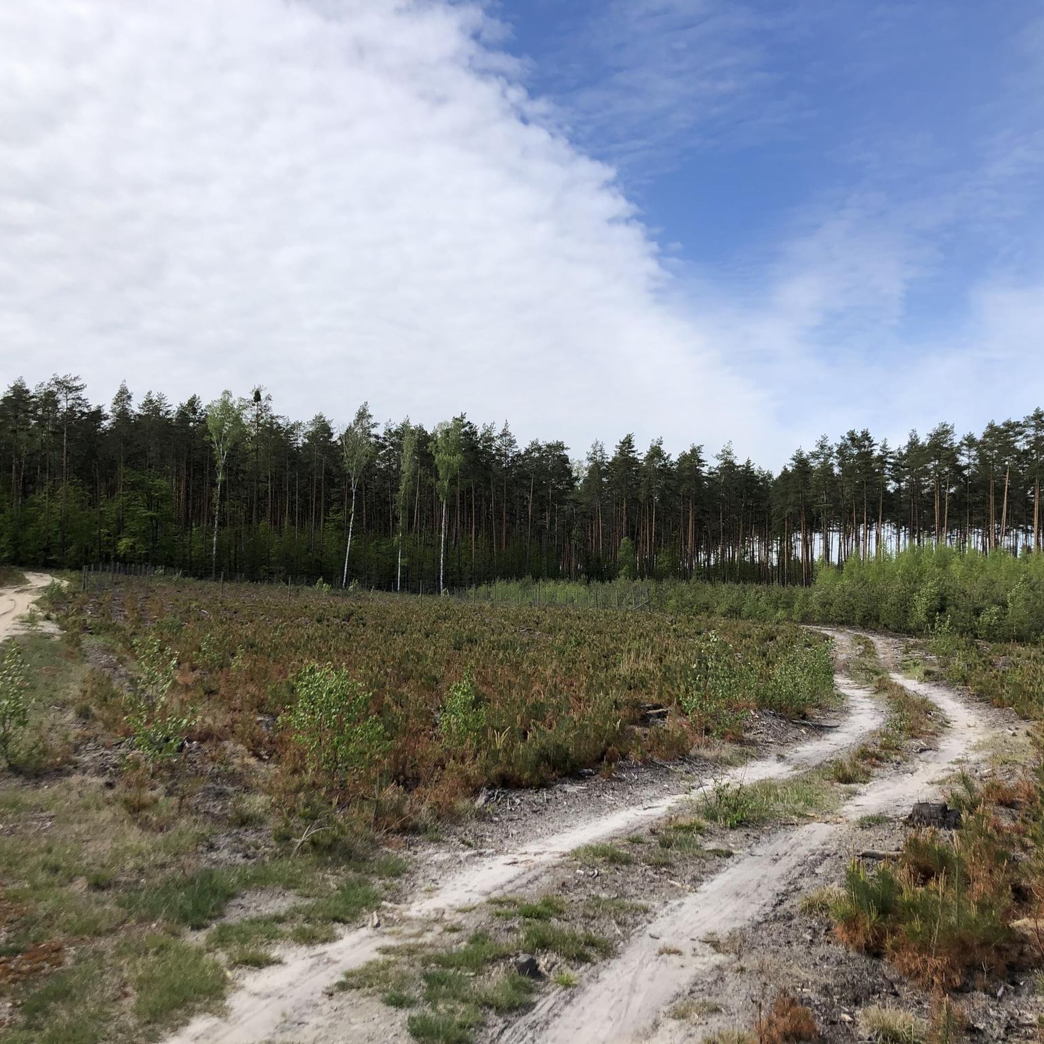
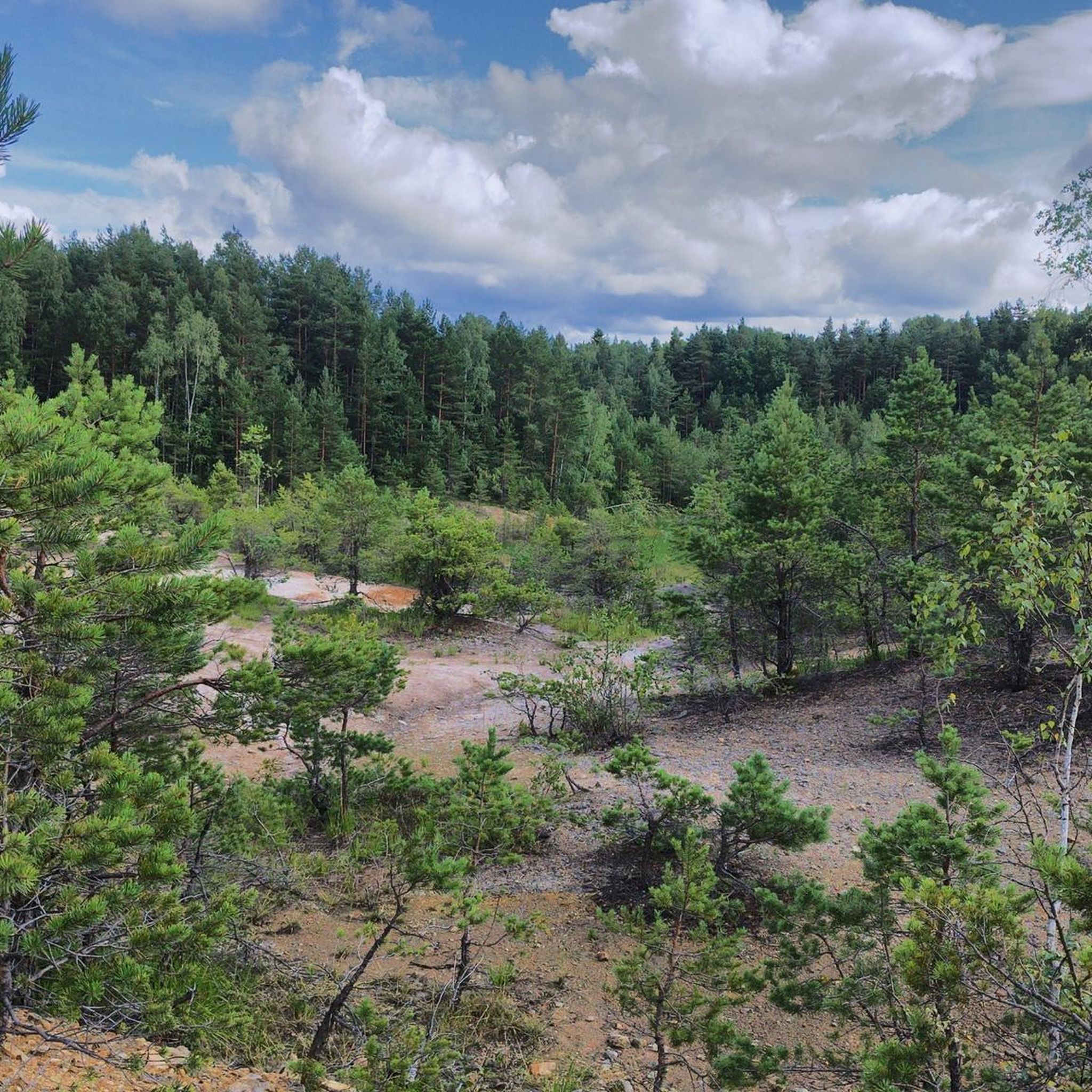
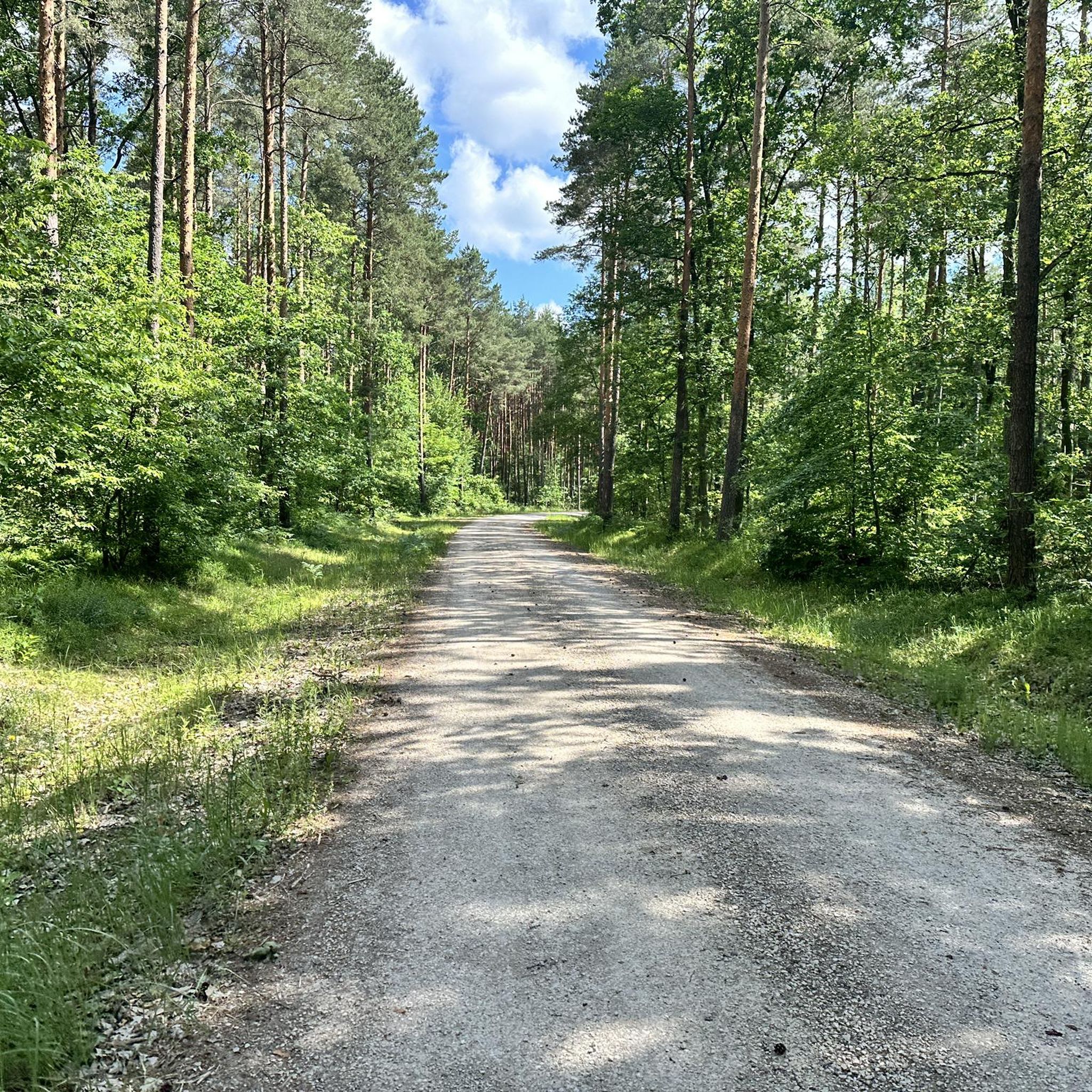
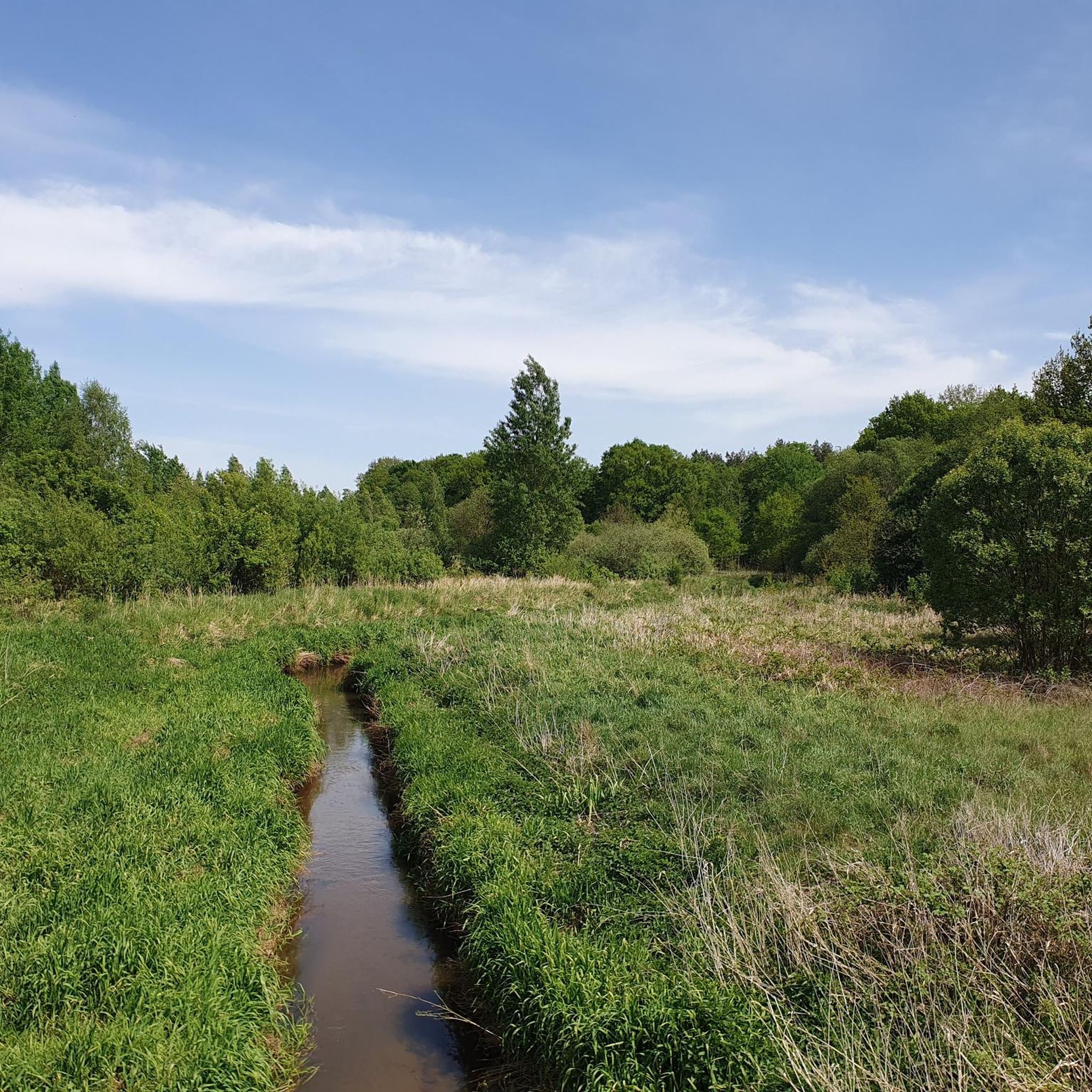
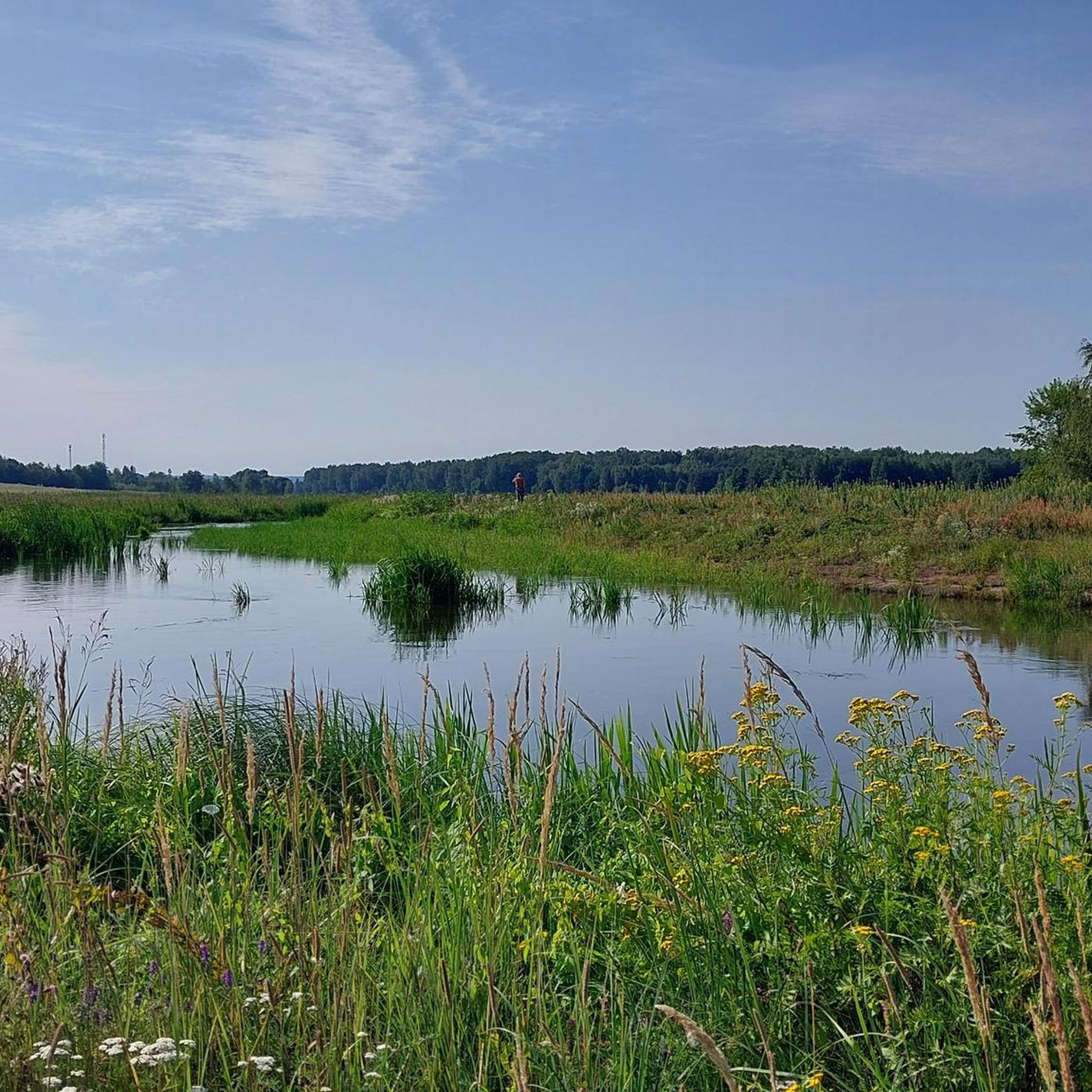
Hiking around Przysucha offers diverse terrain characterized by extensive forests and fields, including the gentle slopes of the Gielniów Hump. The region is situated on the Radomka River and features the Drzewiczka River, along with important nature reserves. Geological formations like the Skałki Przysuskie (Przysucha Rocks) contribute to the natural scenery.
Best hiking trails around Przysucha
- The most popular hiking route is Altana (408 m) loop from Hucisko, a 1.4 miles (2.3 km) trail that takes 39 minutes to…
Last updated: August 25, 2026
4.0
(2)
32
hikers
Easy hike. Great for any fitness level. Easily-accessible paths. Suitable for all skill levels.
5.0
(2)
12
hikers
8.79km
02:20
80m
80m
Moderate hike. Good fitness required. Easily-accessible paths. Suitable for all skill levels.

Sign up for free
5.0
(1)
9
hikers
8.46km
02:14
80m
80m
Moderate hike. Good fitness required. Easily-accessible paths. Suitable for all skill levels.
4.8
(6)
6
hikers
5.65km
01:28
30m
30m
Easy hike. Great for any fitness level. Easily-accessible paths. Suitable for all skill levels.
4.5
(2)
5
hikers
7.20km
01:52
40m
40m
Easy hike. Great for any fitness level. Easily-accessible paths. Suitable for all skill levels.
5.0
(1)
5
hikers
9.90km
02:41
130m
130m
Moderate hike. Good fitness required. Easily-accessible paths. Suitable for all skill levels.
3
hikers
3.96km
01:01
20m
20m
Easy hike. Great for any fitness level. Easily-accessible paths. Suitable for all skill levels.
3
hikers
2.83km
00:47
50m
50m
Easy hike. Great for any fitness level. Easily-accessible paths. Suitable for all skill levels.
Get access to more routes and recommendations from other explorers.
Sign up for free
Already have an account?
Our route recommendations are based on thousands of hikes, rides, and runs completed by other people on komoot.
Start today with a free account
Your next adventure awaits.
Login or Signup
Popular around Przysucha



Tips from the Community

country bar, nice simple food, good music and friendly service
1
0

Apparently this spring water will give you ability to over perform in bed and last 4 times longer. Legend says it will make you more fertile too. That's what old tales say here
0
0

An old sandstone quarry. A rest area with a shelter, and a short walk to the top of the escarpment (it's worth leaving your bike, but you'll have it in sight almost all the time).
0
0
The size is impressive, unfortunately the interior is inaccessible.
0
0

An inanimate nature reserve in the Konecko-Łopuszniański Protected Landscape Area in the Stąporków commune, in the Konecki district, in the northern part of the Świętokrzyskie province, near the town of Niekłań Wielki. The rocks stretch for about 1 kilometre, their height reaches 8 metres. The Skałki Piekło nature reserve under Niekłaniem is the starting point of the black tourist trail of the black tourist trail leading to the town of Wólka Plebańska. The blue tourist trail from Skarżysko-Kamienna (Pogorzałe) to Kuźniaki passes through the reserve. It is also a point on the Piekielny Szlak.
0
0

The building has undergone renovation of the façade and looks great from the outside. Unfortunately, the renovation inside has not been completed and it is not open to the public.
0
0

The "Skałki Piekło pod Niekłaniem" nature reserve was established on April 1, 1959, in order to preserve, for scientific and didactic reasons, the peculiar forms of sandstone rocks formed by wind erosion and the northern parrot fern (Asplenium Septentrionale) living in rock crevices, on the initiative of Eng. Teodor Zielinski. It is the oldest nature reserve operating in the Stąporków Forest District.
2
0

There are three other graves in the area. Repainted by history enthusiasts from Radom, the Traces of the Past group.
0
0
Frequently Asked Questions
What kind of terrain can I expect when hiking around Przysucha?
The region around Przysucha is characterized by extensive forests and fields, including the gentle slopes of the Gielniów Hump (Garb Gielniowski). You'll also find unique geological formations like the Skałki Przysuskie (Przysucha Rocks) and areas reminiscent of the Beskid Mountains. Rivers like the Radomka and Drzewiczka add to the natural diversity.
How many hiking trails are available in the Przysucha area?
There are over 40 hiking trails around Przysucha listed on komoot, catering to various skill levels. This includes 23 easy routes, 13 moderate routes, and 7 more challenging options.
Are there any family-friendly hiking options in Przysucha?
Yes, Przysucha offers several easy routes suitable for families. An example is the Altana (408 m) loop from Hucisko, which is a short 2.3 km (1.4 miles) trail that takes less than an hour to complete and leads to a scenic viewpoint.
What are some natural features or landmarks to look out for on the trails?
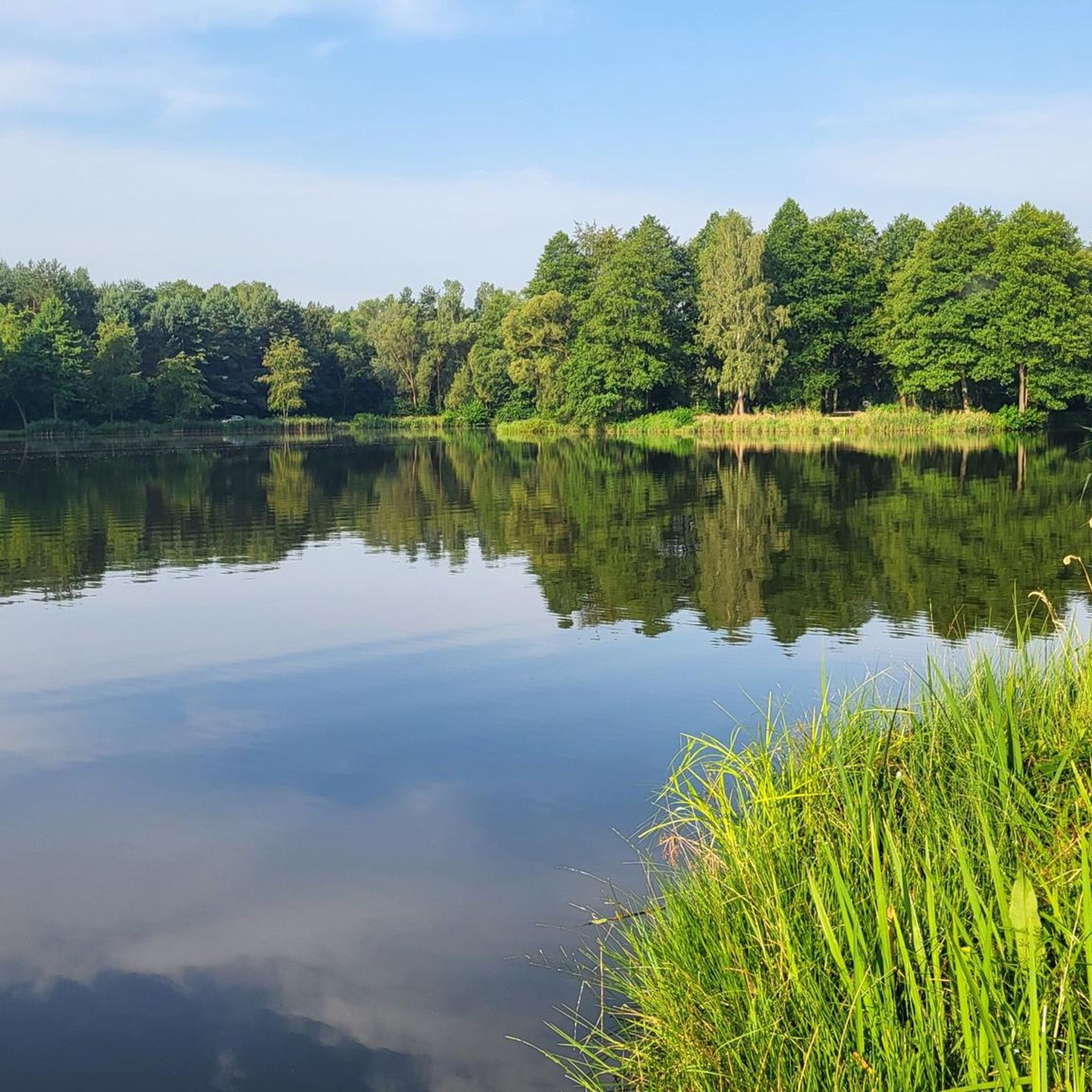
Hikers can explore the unique Przysucha Sandstone Rocks, which are a notable geological formation. The region also features the Gielniów Hump and extensive forests. For a tranquil experience, consider visiting the Piecyki Fish Ponds.
Are there any historical sites or cultural attractions accessible via hiking routes?
Yes, the area has historical significance. You can explore the 18th-Century Synagogue in Przysucha, which is part of an easy 7.2 km (4.5 miles) loop. The Red "PARTYZANCKI" Trail, a longer multi-day route, also passes through sites connected to Major Henryk Dobrzański "HUBAL" and the January Uprising.
Are there circular hiking routes available in Przysucha?
Many of the trails in Przysucha are circular, offering convenient starting and ending points. For instance, the Spring in Niekłań Wielki loop from Niekłań Wielki is a moderate 8.8 km (5.5 miles) route that explores natural areas.
What do other hikers say about the trails in Przysucha?
The trails in Przysucha are highly rated by the komoot community, with an average score of 4.7 stars from over 25 reviews. Hikers often praise the varied terrain, from gentle humps to unique geological formations, and the well-maintained network of trails suitable for different ability levels.
What is the best time of year to go hiking in Przysucha?
The region's extensive forests and diverse landscapes make it enjoyable for hiking throughout the warmer months, from spring to autumn. Spring offers lush greenery, while autumn brings vibrant fall colors. Winter hiking is also possible, though specific routes for snow conditions should be checked.
Are there any longer, more challenging hikes for experienced trekkers?
For those seeking a more challenging experience, Przysucha offers several longer routes. The Red "PARTYZANCKI" Trail, for example, is a significant 44.3 km (27.5 miles) trail that typically takes 2-3 days to complete, traversing forested areas and the Gielniów Hump.
Can I find trails that lead through the Przysucha Sandstone Rocks?
Yes, there's a specific route that takes you through this unique natural feature. The Gajówka Rawicz Memorial – Przysucha Sandstone Rocks loop from Przysucha is a moderate 9.7 km (6.0 miles) trail that highlights these geological formations.
Are there any trails near water features or reservoirs?
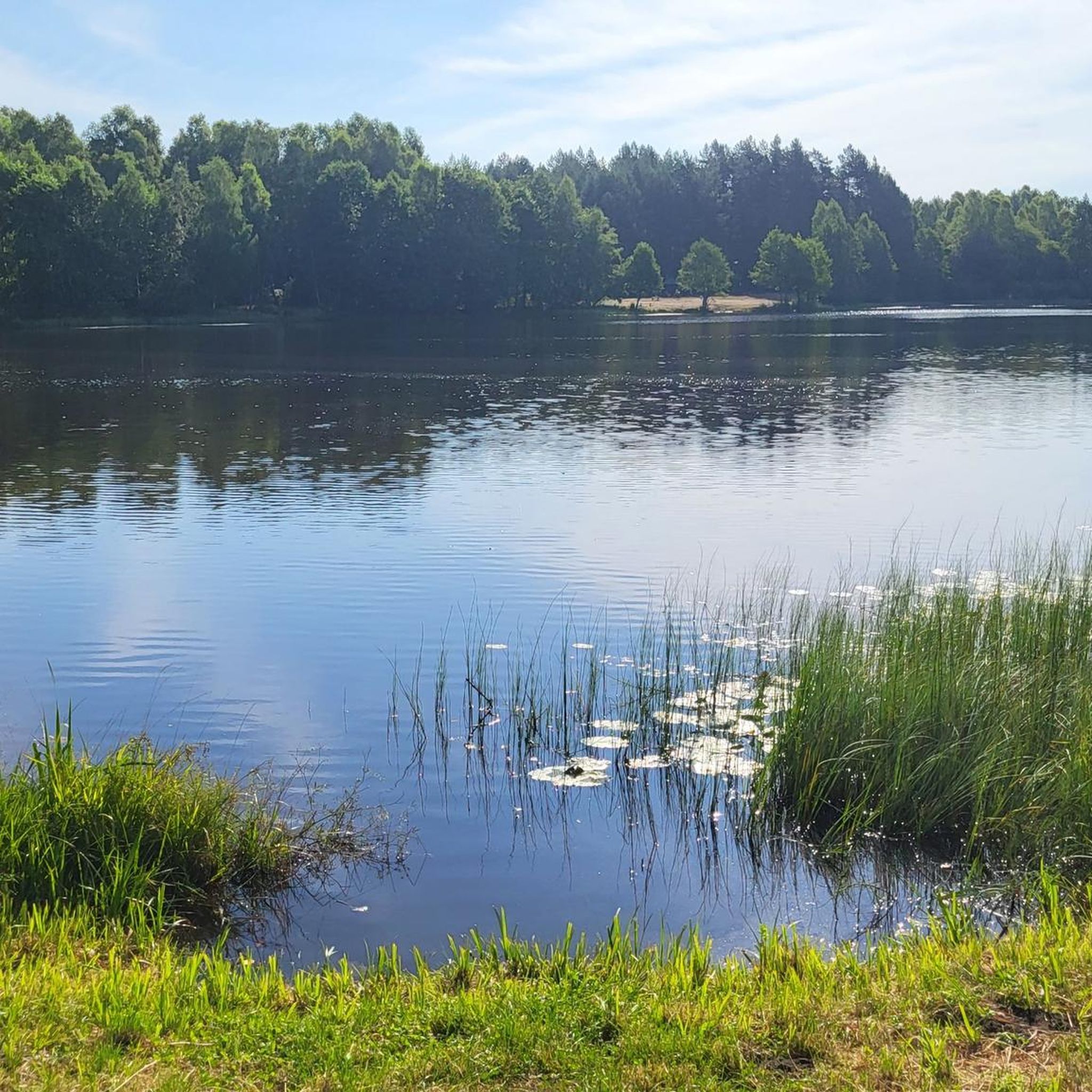
Yes, the region is home to rivers like the Radomka and Drzewiczka. You can find routes such as the Zalew w Jagodnie loop from Słowików, which is an easy 3.3 km (2.1 miles) hike near the Jagodno Reservoir.
Most popular routes around Przysucha
Most popular attractions around Przysucha

Get inspired with the komoot mobile app


Didn’t find what you were looking for?
Check out more Hikes throughout Przysucha below and find the perfect route in your destination.
Explore more
Browse the best Hikes in other regions.
