The best road cycling routes in Hermosa Creek Wilderness
5.0
(3)
298
riders
7
rides
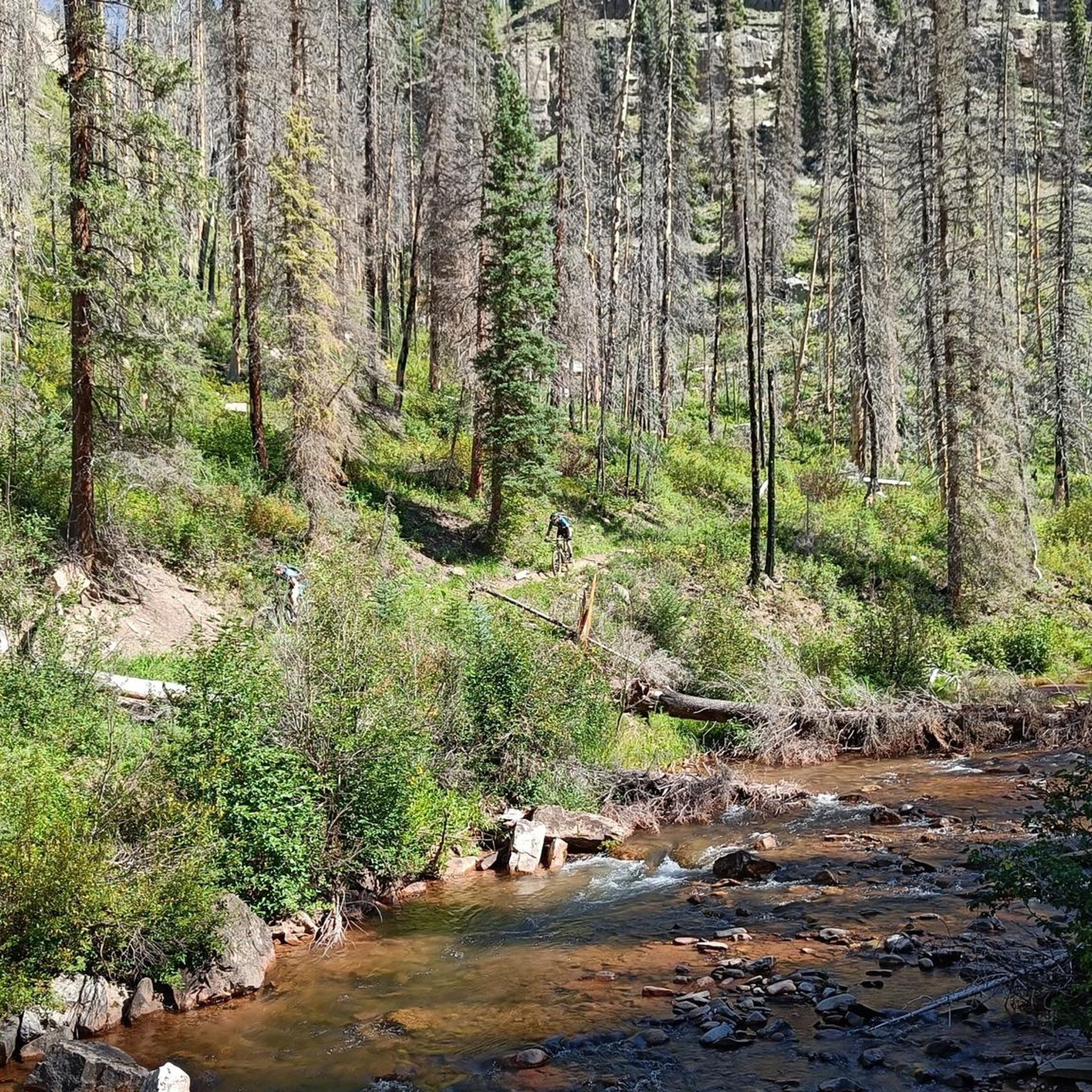
Road cycling in Hermosa Creek Wilderness features routes that navigate through varied terrain, including river valleys and areas near reservoirs. The landscape is characterized by natural parkland, offering a mix of gentle gradients and more challenging ascents. Road cyclists can expect to encounter open spaces and some forested sections, with routes often following established paths. The region provides a natural setting for road cycling, with elevation changes suitable for different skill levels.
Best road cycling routes in Hermosa Creek Wilderness
…Last updated: May 20, 2026
5.0
(2)
104
riders
35.1km
01:33
160m
160m
Easy road ride. Great for any fitness level. Mostly well-paved surfaces and easy to ride.
5.0
(1)
46
riders
86.8km
04:06
830m
830m
Moderate road ride. Good fitness required. Mostly well-paved surfaces and easy to ride.

Sign up for free
16
riders
82.3km
04:14
1,440m
1,440m
Cycle the difficult 51.1-mile Hermosa to Coal Bank Pass route in San Juan National Forest, gaining 4726 feet with alpine views.
50
riders
35.9km
01:35
280m
280m
Easy road ride. Great for any fitness level. Mostly well-paved surfaces and easy to ride.
22
riders
68.6km
03:29
900m
900m
Hard road ride. Very good fitness required. Mostly well-paved surfaces and easy to ride.
Get access to more routes and recommendations from other explorers.
Sign up for free
Already have an account?
Our route recommendations are based on thousands of hikes, rides, and runs completed by other people on komoot.
Start today with a free account
Your next adventure awaits.
Login or Signup
Other adventures in Hermosa Creek Wilderness

Tips from the Community

Coal Bank Pass sits at an elevation of 10,610 feet and serves as a link between the towns of Silverton and Durango. Situated along the renowned Million Dollar Highway, it offers travelers spectacular vistas of rugged peaks and stunning landscapes.
0
0

Durango, Colorado, is a famous mining town and railroad city that is an outdoor mecca today. There are towns of trails, roads, and paths for outdoor enthusiasts, and riding through downtown gives you a taste of old and new with old buildings and new businesses lining the streets.
0
0

The trail is a flat, paved multi-use path which follows the Animas River through Durango between Oxbow Park to the north and Dallabetta Park to the south. There are plenty of access points to jump on and off the trail and connect with other routes around town.
0
0
Oxbow Park marks the northern terminus of the Animas River Trail. The park is fairly new and features some singletrack paths along the water as well as a restroom and picnic tables.
0
0
This is a fantastic trailhead in the center of downtown Durango. There are restrooms, river access, and plenty of parking. From here you can cross the Fassbinder Bridge to follow the Animas River north or take a left at the water to wind south along the river through Durango.
0
0
Durango, Colorado, is a famous mining town and railroad city that is an outdoor mecca today. There are towns of trails, roads, and paths for outdoor enthusiasts, and riding through downtown gives you a taste of old and new with old buildings and new businesses lining the streets.
0
0
Lemon Reservoir is a popular spot for biking, running, walking, and off-road driving in San Juan National Forest. The road is paved the majority of the way (a recent addition), and it turns to dirt after passing the northern end of the lake.
0
0
CR 250 is a much quieter and more scenic alternative than the traffic-ridden US 550 that travels through the middle of the valley. There are tall mountain walls on one side of you and views across the valley towards the La Plata Mountain Range in the other direction.
0
0
Frequently Asked Questions
What types of road cycling routes can I find in Hermosa Creek Wilderness?
Hermosa Creek Wilderness offers a diverse range of road cycling routes, from easy rides along river valleys to more challenging ascents with significant elevation gain. You'll find options that navigate through natural parkland, near reservoirs, and along established paths, catering to various skill levels.
Are there road cycling routes suitable for beginners in Hermosa Creek Wilderness?
Yes, there are several easy road cycling routes perfect for beginners. An excellent option is the Oxbow Park and Preserve – Animas River Trail loop from Trimble, which is 22.7 miles (36.5 km) with minimal elevation gain along the Animas River. Another easy route is the Fassbinder Bridge – Durango, Colorado loop from Trimble, covering 22.3 miles (35.9 km).
What are some challenging road cycling routes for advanced riders in Hermosa Creek Wilderness?
For advanced road cyclists seeking a challenge, the Hermosa to Coal Bank Pass route is a demanding option. This route spans approximately 51.1 miles (82.3 km) and features significant elevation gain, offering a strenuous and rewarding experience.
Are there any loop road cycling routes in Hermosa Creek Wilderness?
Yes, many of the road cycling routes in the area are loops, providing a convenient way to explore without retracing your path. Popular loop options include the Oxbow Park and Preserve – Animas River Trail loop from Trimble and the longer Lemon Reservoir – Animas River Trail loop from Hermosa Creek.
What is the typical length of road cycling routes in Hermosa Creek Wilderness?
Road cycling routes in Hermosa Creek Wilderness vary significantly in length. You can find shorter, easy rides around 22 miles (35 km), such as the Oxbow Park and Preserve – Animas River Trail loop from Trimble. Longer, more challenging routes can extend up to 53.7 miles (86.4 km), like the Lemon Reservoir – Animas River Trail loop from Hermosa Creek.
What do other road cyclists say about their experience in Hermosa Creek Wilderness?
The road cycling routes in Hermosa Creek Wilderness are highly regarded by the komoot community, holding an average rating of 5.0 stars from several reviews. Cyclists often praise the varied terrain, scenic views, and the network of routes that cater to different ability levels.
What kind of scenery can I expect while road cycling in Hermosa Creek Wilderness?
Road cyclists in Hermosa Creek Wilderness can expect diverse scenery, including picturesque river valleys, views of reservoirs like Lemon Reservoir, and stretches through natural parkland. The routes often feature open spaces interspersed with forested sections, offering a blend of natural beauty.
Are there any road cycling routes that offer scenic viewpoints?
Many routes in Hermosa Creek Wilderness provide scenic vistas, particularly those that ascend to higher elevations or follow the contours of reservoirs. The Lemon Reservoir – Animas River Trail loop from Hermosa Creek is known for its scenic views around Lemon Reservoir, making it a great choice for those seeking picturesque landscapes.
What is the best time of year for road cycling in Hermosa Creek Wilderness?
While specific conditions can vary, the warmer months, typically late spring through early fall, generally offer the most favorable weather for road cycling in Hermosa Creek Wilderness. During these times, roads are usually clear of snow, and temperatures are conducive to longer rides.
Are there any road cycling routes that pass through parkland?
Yes, several routes in Hermosa Creek Wilderness traverse parkland. The Oxbow Park and Preserve – Dalla Mountain Park Trailhead loop from Trimble is a prime example, leading you through parkland and near the Animas River, offering a pleasant cycling experience in a natural setting.
How many road cycling routes are available in Hermosa Creek Wilderness?
There are 6 distinct road cycling routes documented in Hermosa Creek Wilderness, offering a range of experiences for different skill levels.

Get inspired with the komoot mobile app


Explore more
Browse the best Road cycling routes in other regions.
