The best gravel rides around Lincoln
4.7
(14)
186
riders
6
rides
Gravel biking around Lincoln is characterized by a diverse network of trails, many built on former railroad corridors, offering varied terrain from crushed limestone paths to unpaved sections. The region features gradual elevation changes and extends through floodplain forests, tallgrass prairies, and woodlands. Rolling gravel hills and dirt roads are also present in the surrounding rural areas, providing a range of experiences for gravel cyclists.
Best gravel bike trails around Lincoln
- The most popular gravel bike trail is Three Rivers…
Last updated: June 30, 2026
4.7
(6)
92
riders
139km
07:15
800m
800m
Hard gravel ride. Very good fitness required. Mostly paved surfaces. Suitable for all skill levels.
5.0
(2)
15
riders
44.9km
02:15
150m
150m
Moderate gravel ride. Good fitness required. Mostly paved surfaces. Suitable for all skill levels.

Sign up for free
4.5
(4)
51
riders
88.5km
04:42
560m
560m
Hard gravel ride. Very good fitness required. Mostly paved surfaces. Suitable for all skill levels.
4.5
(2)
17
riders
80.1km
04:06
350m
350m
Moderate gravel ride. Good fitness required. Mostly paved surfaces. Suitable for all skill levels.
11
riders
43.3km
02:12
160m
160m
Moderate gravel ride. Good fitness required. Mostly paved surfaces. Suitable for all skill levels.
Our route recommendations are based on thousands of hikes, rides, and runs completed by other people on komoot.
Start today with a free account
Your next adventure awaits.
Login or Signup

Tips from the Community

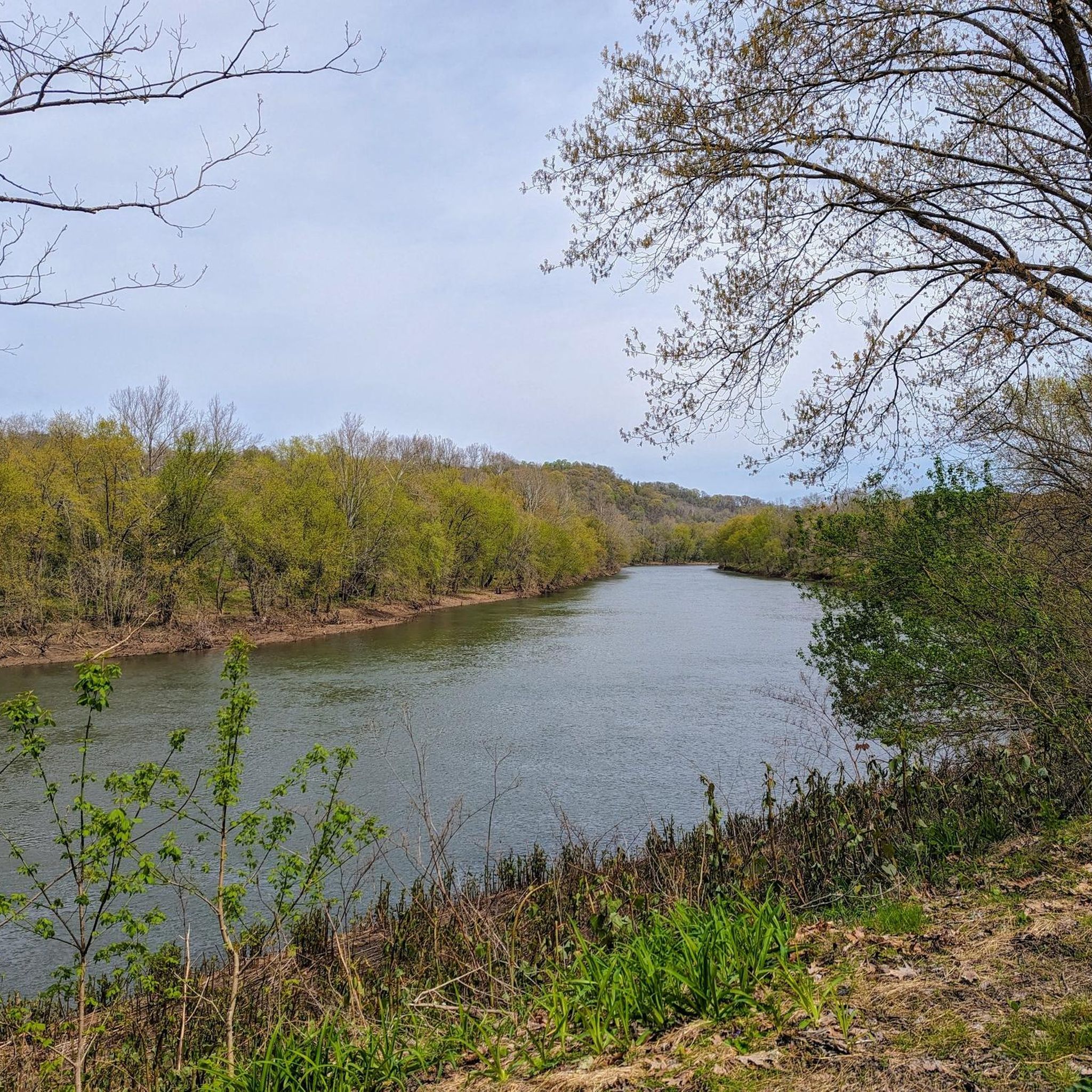
Great ride along the river with several places to pull off and enjoy the view.
0
0


This is a good place to take a break on a hot day, as the waterfall produces cold wind. DO NOT DRINK this water, It is from an acid mine and the red-orange color comes from iron and rust.
1
0

S THE WATERFALL Demonstrating acid mnine drainage The water here is acid and iron-rich, coming up to the surface from underground mines, stairung the-rocks ruspred. Acid mine drainage (AMID) is a major source of water pollution. Cause of extensive stream environmental damage. The Ocean Coal Company, a subsidiaries of Bevind- White Coal Company Philadelphia, PA, esaiblished several mines in this region including, in 1900, Ocean No. 2. It is purported that drainage from ocean No. 2 is the chief cause of the Red Waterfall Why is it acidic and full of iron? Hundreds of millions of years ago, the massive Pittsburgh Coal Seam formed underneath parts of Pennsylvania, West Virginia, and Ohiờ from ancient swamp plants. Sand, silts, shells, and other -matter were deposited and made a rock seal over the carbon-rich vegetation, This rock contained the mineral "pyrite," made of iron and sulfur Coal mining exposes pyrite to oxygen and ground water causing the formation of sulfuric acid and a number of red, orange, and yellow compound s. AMD occurs when this mine water seeps, or in this-case, bursts out into Streams. The yellow sulfur can be seen in the shale near coal seams. GRESCHIN DASSAGE SPONSORED BY: Southwestern PA Heritage Breservation- Commission Allegheny Trail Alliances Regional Trail Corpofation For moterinformation. www.gaptrail.org
0
0
its just a cemetery. i was riding for distance. and needed this place to keep the route on the GAP trail.
1
0
Gravel Path. Very flat. There as also many resting points and cities along the way.
0
0

The Cedar Creek Hiker-Biker Campground is one of several campsites free to GAP users. At this one, there is a grassy area for tents, picnic areas, fire rings, and drinking water. It is also possible to park at the campsite. If you want to leave your car overnight, you need to fill out a registration form at the registration kiosk to let the staff know you are on the GAP.
0
0
The Red Waterfall is one of the main highlights on the GAP between West Newton and McKeesport. The falls gets its name from the water that has been colored red by nearby underground coal mines, which has made the water acidic and iron-rich water.
0
0
Frequently Asked Questions
What kind of terrain can I expect on gravel bike trails around Lincoln?
Gravel biking around Lincoln offers a diverse network of trails. Many are built on former railroad corridors, featuring varied terrain from crushed limestone paths to unpaved sections. You'll encounter gradual elevation changes, floodplain forests, tallgrass prairies, and woodlands. The surrounding rural areas also provide rolling gravel hills and dirt roads for a more challenging experience.
How many gravel bike routes are available in the Lincoln area?
There are 9 gravel bike routes available around Lincoln, catering to various skill levels. This includes 2 easy routes, 5 moderate routes, and 2 difficult routes, ensuring options for every gravel biker.
Are there any easy gravel bike routes suitable for beginners or families?
Yes, there are easy gravel bike routes available. For a relatively gentle ride, consider the Red Waterfall – Red Waterfall loop from Versailles. This 29.5 km path offers an accessible experience through scenic landscapes.
What are some moderate gravel biking options for a good workout?
For a moderate challenge, you could try The Mailbox formation right beside the trail loop from Sutersville, which is 43.3 km long. Another excellent moderate option is the Red Waterfall – Homestead Pump House loop from Versailles, spanning 67.8 km with notable elevation changes.
Are there any challenging long-distance gravel routes in the region?
Absolutely. For experienced gravel bikers seeking a significant challenge, the Three Rivers Heritage Trail – Hot Metal Bridge loop from Elizabeth is a demanding 138.6 km route with substantial elevation gain. Another difficult option is the Three Rivers Heritage Trail – Hot Metal Bridge loop from Glassport, covering 113.3 km.
What do other gravel bikers enjoy most about the Lincoln trails?
The gravel biking routes around Lincoln are highly rated by the komoot community, with an average score of 4.6 stars. Reviewers often praise the diverse terrain, from smooth crushed limestone to challenging dirt roads, and the scenic beauty of the floodplain forests and prairies.
Are there any notable landmarks or attractions along the gravel routes?
Yes, several interesting landmarks and natural features can be found near the trails. You might encounter the historic McKeesport Connecting Railroad Bridge, the serene Red Waterfall, or the historic Dravo Cemetery. Some routes also offer views of the Phantom’s Revenge at Kennywood Park.
Can I find trails that are part of larger trail systems?
Many of Lincoln's trails are part of extensive networks. For instance, the Homestead Trail extends over 60 miles from Lincoln towards Kansas, and the MoPac Trail is a significant part of the broader system. You can also connect to sections of the Great Allegheny Passage near Sutersville.
What kind of natural environments will I experience while gravel biking in Lincoln?
You'll ride through a variety of natural settings, including 1,500-acre floodplain forests like Wilderness Park, 668-acre tallgrass prairies and woodlands at Pioneers Park Nature Center, and the 1,160-acre Spring Creek Prairie Audubon Center. These areas offer opportunities for birdwatching and observing diverse plant species.
Is Lincoln a good destination for gravel biking events?
Lincoln is renowned for its gravel biking culture and hosts 'Gravel Worlds,' an annual event that attracts cyclists of all levels. This event utilizes the region's scenic gravel roads and rolling hills, offering various distances, including beginner-friendly options and challenging long voyages.
Are there any circular gravel bike routes available?
Yes, many of the routes are designed as loops, allowing you to start and end at the same point. Examples include the Red Waterfall – Red Waterfall loop from Versailles and The Mailbox formation right beside the trail loop from Sutersville, providing convenient circular options for your ride.
Most popular routes around Lincoln
Most popular attractions around Lincoln

Get inspired with the komoot mobile app


Explore more
Browse the best Gravel rides in other regions.
