The best road cycling routes around Cherokee
1.0
(1)
33
riders
5
rides
Road cycling routes around Cherokee, North Carolina, navigate a mountainous landscape characterized by the Great Smoky Mountains and the Blue Ridge Parkway. The region features significant elevation changes, dense forests, and river valleys, offering challenging climbs and scenic descents. The Oconaluftee River flows through the area, providing natural landmarks.
Best road cycling routes around Cherokee
- The most popular road cycling route is Wolftown, Paint Town, & Cherokee loop, a 28.1 miles (45.2 km) trail that takes 2 hours 39…
Last updated: July 2, 2026
4
riders
45.2km
02:40
1,160m
1,170m
Hard road ride. Very good fitness required. Mostly well-paved surfaces and easy to ride.
10
riders
73.9km
04:57
1,460m
1,460m
Hard road ride. Very good fitness required. Some segments of this route may be unpaved and difficult to ride.

Sign up for free
1.0
(1)
11
riders
71.7km
04:57
1,630m
1,640m
Hard road ride. Very good fitness required. Mostly well-paved surfaces and easy to ride.
6
riders
40.6km
02:36
1,220m
1,220m
Hard road ride. Very good fitness required. Mostly well-paved surfaces and easy to ride.
2
riders
Hard road ride. Very good fitness required. Mostly well-paved surfaces and easy to ride.
Our route recommendations are based on thousands of hikes, rides, and runs completed by other people on komoot.
Start today with a free account
Your next adventure awaits.
Login or Signup
Popular around Cherokee
Tips from the Community

Ever wonder how old mills worked? This is your chance to find out. There's a miller on-site to do demonstrations daily at this 1886 grist mill.
0
0

This climb is a challenging road biking ascent through the Appalachian Mountains. You'll immediately begin climbing, ascending approximately 2,950 feet over about 8.2 miles to reach the Lickstone Ridge Overlook at around 5,150 feet, with a steep average gradient near 6.8% and sections hitting double digits. As you push upwards through dense forests, you'll pass through several tunnels and be rewarded with increasingly dramatic views of the surrounding mountain landscape and valleys from various overlooks, including the expansive vista from the Lickstone Ridge Overlook.
0
0

You made it to the end, take last few memories of your lifetime achievement. Bravo
0
1
You are almost at the end of your journey, take a time and soak some more of precious clean air before hitting the civilization.
1
0
Fantastic snack spot on hot summer days. Beautiful vegetation
0
0

Ben Morton Overlook on Newfound Gap Road North provides a breathtaking view of the Great Smoky Mountains National Park. The panoramic scenery includes majestic peaks, dense forests, and mist-shrouded valleys. Visitors are treated to an awe-inspiring vista that captures the beauty and grandeur of the Appalachian mountain range.
0
0

The Newfound Gap lies on the border between Tennessee and North Carolina. A special one in history, here President Theodore Roosevelt declared the Great Smoky Mountains a national park in 1940. The Rockefeller family built the Rockefeller Memorial here - a viewing platform and now a popular photo opportunity
3
0
Viewpoint located in a street parking lot with panoramic views of the valley
3
0
Frequently Asked Questions
What kind of terrain can I expect on road cycling routes around Cherokee?
Road cycling around Cherokee primarily involves mountainous terrain, characterized by the Great Smoky Mountains and the Blue Ridge Parkway. You can expect significant elevation changes, challenging climbs, and scenic descents through dense forests and river valleys. Routes often feature substantial climbs, such as those towards Newfound Gap.
Are there any easy or family-friendly road cycling routes in Cherokee?
The road cycling routes highlighted in this guide are generally considered difficult, featuring significant elevation gains. For a more relaxed experience, the Oconaluftee River Overlook area offers flatter, gentler paths like the Oconaluftee River Trail, which is suitable for an easy ride or walk.
What are some notable natural features or viewpoints I can see while road cycling in Cherokee?
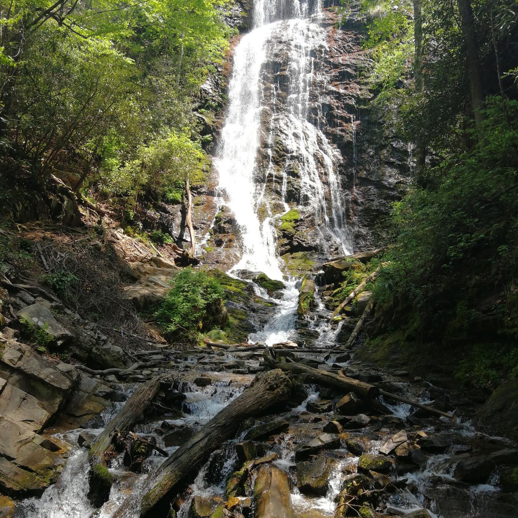
Cherokee's routes offer breathtaking natural features. You can experience panoramic views from overlooks along the Blue Ridge Parkway, such as Raven Fork, Thunderstruck Ridge, Waterrock Knob, and Richland Balsam. The View of Raven Fork – Oconaluftee River Overlook loop specifically highlights the Oconaluftee River Overlook. Additionally, the region is home to impressive waterfalls like Mingo Falls, one of the tallest in the Southern Appalachians.
When is the best time of year to go road cycling in Cherokee?
The Blue Ridge Parkway, a premier cycling destination near Cherokee, is often described as a "three-season road cycling paradise." Spring offers lush wildflowers, summer provides warm weather, and fall showcases vibrant foliage. Cyclists should be aware of seasonal closures on certain sections of the Blue Ridge Parkway, especially during winter months due to snow and ice.
Are there any specific regulations or permits required for road cycling in the Great Smoky Mountains National Park or on the Blue Ridge Parkway?
Generally, no special permits are required for road cycling on the Blue Ridge Parkway or within the Great Smoky Mountains National Park on paved roads. However, cyclists should always adhere to park regulations, traffic laws, and be mindful of vehicle traffic. For specific details on park rules, it's advisable to check the official Great Smoky Mountains National Park or Blue Ridge Parkway websites.
Where can I find parking for road cycling routes in Cherokee?
Many routes start from accessible points with parking. For example, the Mingus Mill – Newfound Gap and Overlook loop starts from Mingus Mill Parking. When cycling on the Blue Ridge Parkway, designated overlooks often provide parking spaces. Always check the specific route details for recommended starting points and parking availability.
What are some of the longer road cycling routes available in Cherokee?
For longer rides, the Oconaluftee Visitor Center – Newfound Gap and Overlook loop covers approximately 45.9 miles (73.8 km) with substantial climbs. Another option is the Mingus Mill – Newfound Gap and Overlook loop, which is about 44.5 miles (71.7 km) and leads through the Great Smoky Mountains National Park.
Can I bring my dog on road cycling routes in Cherokee?
While many outdoor areas in Cherokee are dog-friendly, specific regulations apply to national parks and certain trails. For instance, dogs are generally not permitted on most trails within the Great Smoky Mountains National Park, though they are allowed in campgrounds, picnic areas, and along roads. Always check local signage and park rules regarding pets before heading out on your ride.
Are there any cafes or places to refuel along the road cycling routes?
While specific cafes directly on the routes may be limited, especially on more remote sections of the Blue Ridge Parkway or within the National Park, the town of Cherokee itself offers various dining options. It's always recommended to carry sufficient water and snacks, especially on longer rides, and plan your stops in advance.
What is the overall difficulty level of road cycling in the Cherokee region?
Road cycling in the Cherokee region is generally considered challenging. The routes often feature significant elevation gains and long distances, making them suitable for experienced road cyclists seeking a demanding ride. For example, the Wolftown, Paint Town, & Cherokee loop is rated as difficult, with over 1100 meters of elevation gain.
Are there any mixed-surface cycling options near Cherokee?
Yes, beyond purely paved road cycling, the Heintooga Ridge Route offers a notable mixed-surface option. It climbs from the Oconaluftee River to over a mile high, passing through Blue Ridge Parkway tunnels and entering Great Smoky Mountains National Park, featuring a 17-mile descent on a one-way gravel road with spectacular scenery and roadside waterfalls.
What are some cultural or historical points of interest near the cycling routes?
Cherokee is located on the Qualla Boundary, the ancestral homeland of the Eastern Band of Cherokee Indians. While cycling, you are riding through a region rich in history and culture. The Oconaluftee Visitor Center, a starting point for some routes like the Oconaluftee Visitor Center – Newfound Gap and Overlook loop, provides insights into the region's heritage and the Great Smoky Mountains National Park.
Most popular routes around Cherokee
Most popular attractions around Cherokee

Get inspired with the komoot mobile app


