The best road cycling routes around Camino
31
riders
10
rides
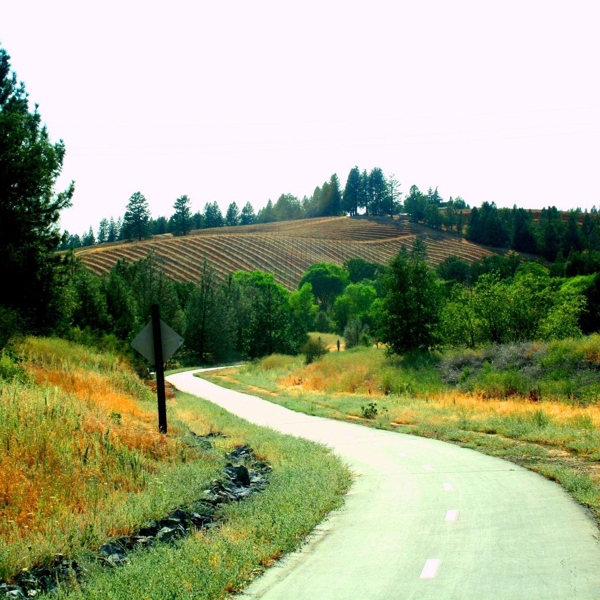
Road cycling routes around Camino are characterized by diverse terrain in the Sierra Nevada foothills, featuring rolling hills, historic towns, and scenic lake areas. The region offers a mix of challenging climbs and varied landscapes suitable for road cyclists. Routes often traverse through oak woodlands and past local landmarks, providing a dynamic cycling experience.
Best road cycling routes around Camino
- The most popular road cycling route is Jenkinson Lake loop, a 40.8 miles (65.6 km) trail that takes 3…
Last updated: May 15, 2026
1
riders
65.6km
04:00
1,470m
1,470m
Hard road ride. Very good fitness required. Mostly well-paved surfaces and easy to ride.
6
riders
61.2km
03:45
1,560m
1,560m
Hard road ride. Very good fitness required. Mostly well-paved surfaces and easy to ride.

Sign up for free
6
riders
62.5km
03:20
1,170m
1,170m
Hard road ride. Very good fitness required. Mostly well-paved surfaces and easy to ride.
4
riders
38.5km
02:24
1,090m
1,090m
Hard road ride. Very good fitness required. Mostly well-paved surfaces and easy to ride.
6
riders
104km
05:49
2,130m
2,130m
Hard road ride. Very good fitness required. Some segments of this route may be unpaved and difficult to ride.
Get access to more routes and recommendations from other explorers.
Sign up for free
Already have an account?
Our route recommendations are based on thousands of hikes, rides, and runs completed by other people on komoot.
Start today with a free account
Your next adventure awaits.
Login or Signup
Popular around Camino
Tips from the Community

Placerville is a nice mid-size town with tons of shopping, restaurants, and historical buildings. There is something for almost everyone in the town, including a winery, the Gold Bug Park & Mine, and an apple orchard.
0
0

Jenkinson Lake consists of two parts, the upper and lower lake. The lower lake is the largest, about eight times the size of the upper. The lake is known for recreational activities such as boating, camping, fishing, horseback riding, and hiking/biking. The lake was named after famous bullfighter, Robert Jenkins.
0
0

Nestled along the South Fork American River in Coloma, California lies an unassuming sawmill that sparked a historic frenzy. Sutter's Mill was owned by 19th-century pioneer John Sutter when gold was first discovered there in 1848, igniting the California Gold Rush. This monumental event drew hopeful prospectors from around the world to the Sierra Nevada foothills, forever changing the landscape and population of California. Sutter's Mill marked the site of the western United States' first significant gold discovery, making it a cherished landmark. Today, the mill is preserved within Marshall Gold Discovery State Historic Park, allowing visitors to reflect on its legacy and the pivotal role it played in the history and development of the United States.
0
0

River access and great views from the Georgetown Road bridge.
0
0
Exciting long one lane bridge across the South Fork American River
0
0
Frequently Asked Questions
What kind of terrain can I expect on road cycling routes around Camino?
Road cycling routes around Camino, situated in the Sierra Nevada foothills, are characterized by diverse terrain. You'll encounter rolling hills, historic town centers, and scenic lake areas. The routes often traverse through oak woodlands, offering a dynamic cycling experience with a mix of challenging climbs and varied landscapes.
Are there road cycling routes suitable for beginners in the Camino area?
While many routes in the Camino area feature significant elevation gain and are rated as difficult, there are options for those seeking a more moderate challenge. For example, the El Dorado Trail – Placerville Historic Downtown loop from Diamond Springs Post Office is a moderate 47.2 km route with less intense climbing, offering a good option for intermediate cyclists or those looking for a less strenuous ride.
What are some of the more challenging road cycling routes around Camino?
For experienced road cyclists seeking a challenge, the Camino area offers several difficult routes. The Jenkinson Lake loop is a popular choice, spanning 65.6 km with significant elevation gain around the lake. Another demanding option is the Roadbike loop from Gold Oak Elementary School, a 60.6 km path with substantial climbing.
Are there any family-friendly road cycling options in the Camino region?
The road cycling routes around Camino generally feature rolling hills and significant elevation changes, making many of them more suitable for experienced cyclists. However, routes like the Placerville Historic Downtown loop from Field Number Fifteen Winery and Brewery, a moderate 36.7 km ride, might be manageable for families with older, more confident children who are accustomed to road cycling and some climbing.
What kind of landmarks or points of interest can I see along the road cycling routes?
The routes often pass through historic town centers, such as Placerville Historic Downtown, offering a glimpse into the region's heritage. You'll also cycle through scenic lake areas, like Jenkinson Lake, and oak woodlands, providing natural beauty and points of interest along the way.
Are there any loop road cycling routes available around Camino?
Yes, all the highly-rated road cycling routes in the Camino area are designed as loops, allowing you to start and finish at the same point. Examples include the Jenkinson Lake loop and the Negro Hill – Placerville Historic Downtown loop from Placerville.
What is the typical length and duration of road cycling routes in this area?
The road cycling routes around Camino vary in length, typically ranging from approximately 36 km to 65 km. Depending on the route and your pace, these rides can take anywhere from 2 hours to nearly 4 hours to complete. For instance, the Jenkinson Lake loop is 65.6 km and takes about 3 hours 59 minutes, while the Placerville Historic Downtown loop is 36.7 km and takes around 2 hours 2 minutes.
What is the best time of year to go road cycling around Camino?
Given its location in the Sierra Nevada foothills, the Camino area generally offers pleasant cycling conditions during spring and fall, when temperatures are moderate. Summer can be warm, especially at lower elevations, while winter may bring cooler temperatures and potential for rain or snow at higher altitudes. Checking local weather forecasts before your ride is always recommended.
Are there cafes or places to stop for refreshments along the routes?
Many routes pass through or near historic towns like Placerville, where you can find various cafes, restaurants, and shops to refuel. While specific amenities on every stretch of road may vary, planning your stops in these towns will ensure you have access to refreshments and facilities.
Is parking readily available for road cyclists in the Camino area?
Parking availability can depend on your chosen starting point. Routes often begin near towns or specific landmarks, where public parking might be accessible. For example, routes starting from Placerville or near Gold Oak Elementary School would likely have parking options nearby. It's advisable to check the specific starting point of your chosen route for detailed parking information.
What do other road cyclists enjoy most about cycling in Camino?
Road cyclists frequently praise the diverse terrain, which offers a good mix of challenging climbs and scenic descents through oak woodlands and past lake areas. The opportunity to cycle through historic towns and experience the beauty of the Sierra Nevada foothills is also a highlight for many.
Most popular routes around Camino

Get inspired with the komoot mobile app


Explore more
Browse the best Road cycling routes in other regions.
