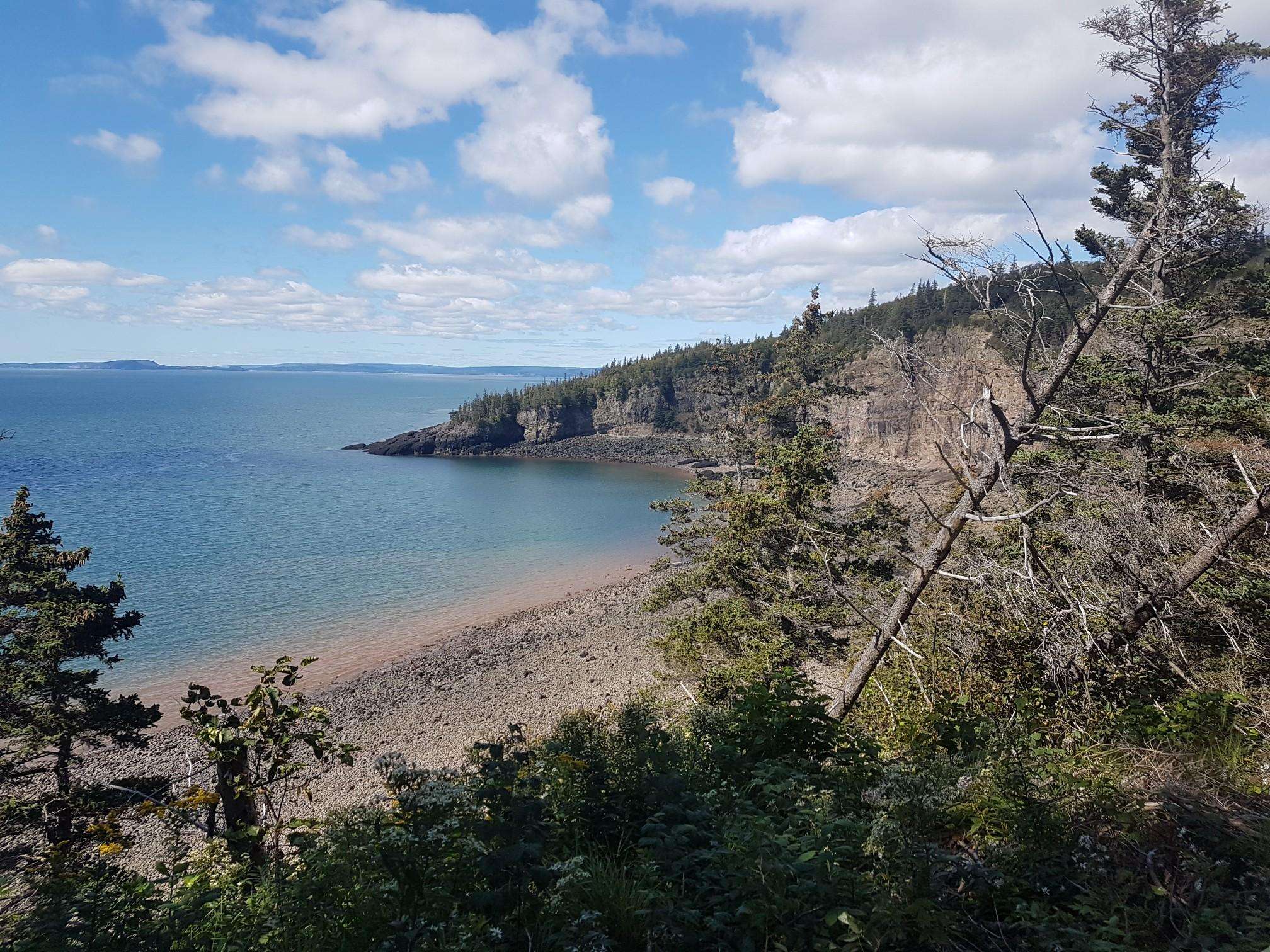
The best walks and hikes around Kings, Subd. C
4.5
(4)
11
hikers
3
hikes
Hiking around Kings, Subd. C, a census subdivision in Nova Scotia, Canada, offers diverse natural landscapes. The region is characterized by its proximity to the Bay of Fundy and the Minas Basin, providing a mix of coastal and inland scenery. The fertile Annapolis Valley is a prominent feature, while the South Mountain and extensive interior forests contribute to an environment dotted with lakes and recreational areas. These geographical elements create varied terrain suitable for outdoor activities.
Best hiking trails around…
Last updated: July 2, 2026
4.5
(2)
5
hikers
Moderate hike. Good fitness required. Easily-accessible paths. Suitable for all skill levels.
4.5
(2)
4
hikers
Easy hike. Great for any fitness level. Easily-accessible paths. Suitable for all skill levels.

Sign up for free
2
hikers
6.94km
01:52
90m
80m
Easy hike. Great for any fitness level. Easily-accessible paths. Suitable for all skill levels.
Our route recommendations are based on thousands of hikes, rides, and runs completed by other people on komoot.
Start today with a free account
Your next adventure awaits.
Login or Signup

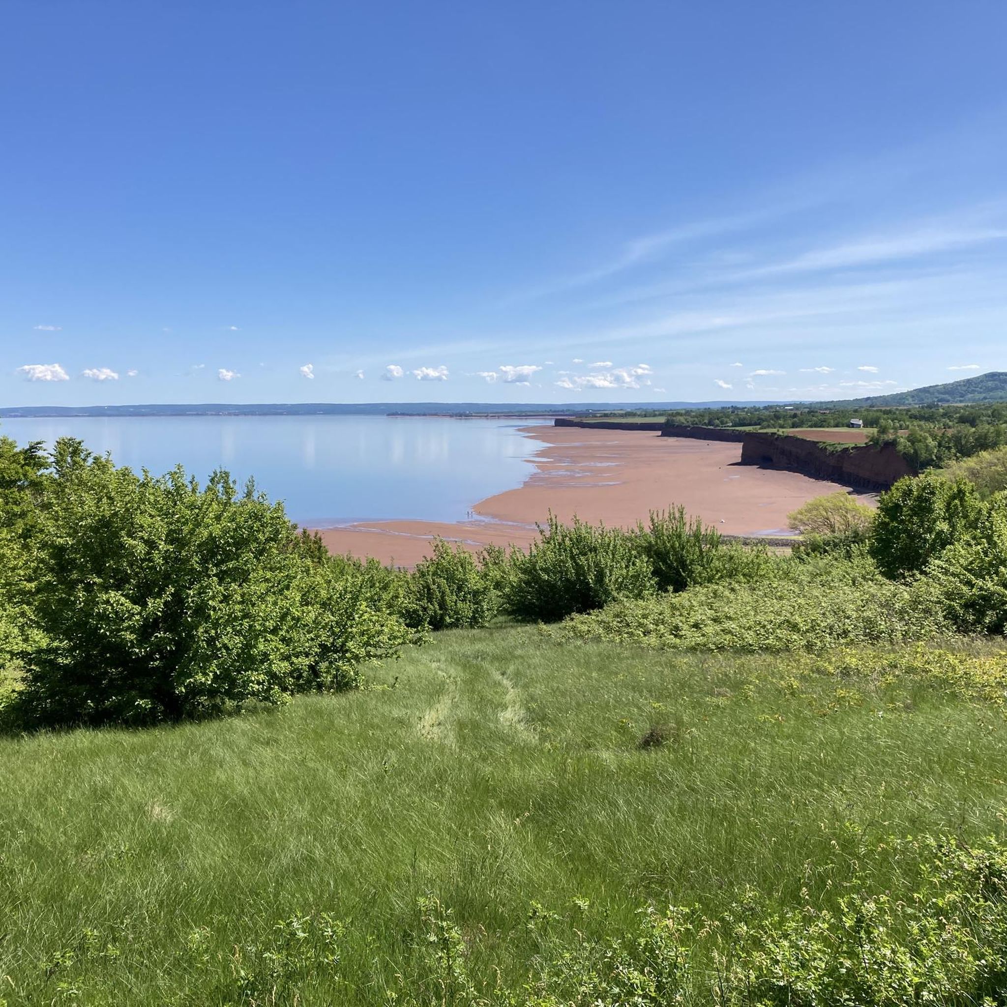
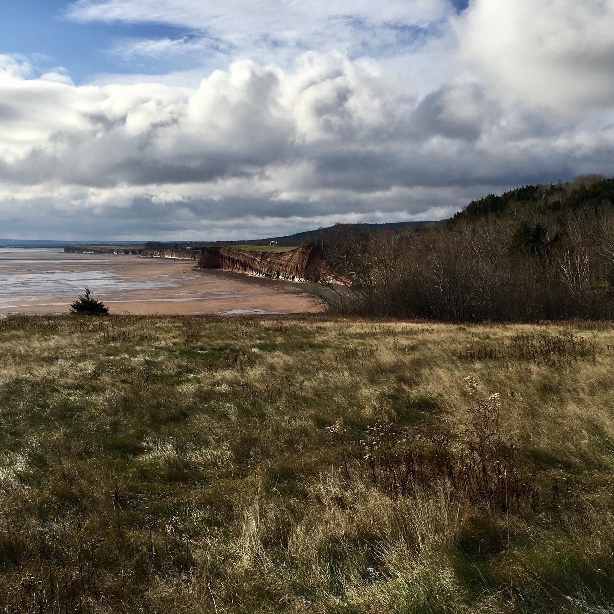
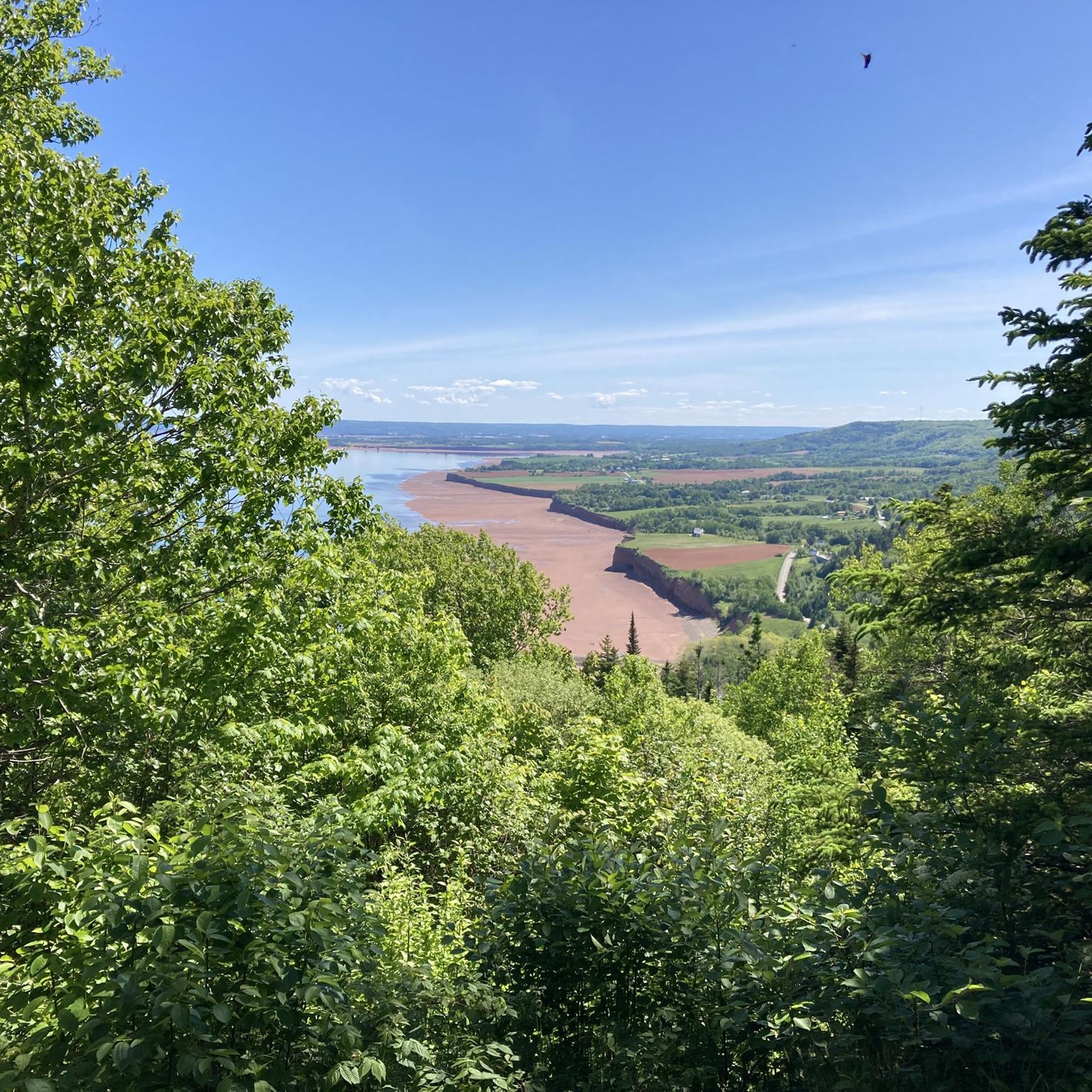
Other adventures around Kings, Subd. C

Frequently Asked Questions
How many hiking trails are available in Kings, Subd. C?
Kings, Subd. C, and the wider Kings County area, offers a rich network of trails. On komoot, you can find a selection of 3 curated hiking routes, ranging from easy to moderate. Beyond these, the region boasts extensive trail systems like the Harvest Moon Trailway and the Black Rock Trail System, providing numerous options for exploration.
Are there any easy hiking trails suitable for beginners or families?
Yes, Kings, Subd. C offers several easy trails perfect for beginners or families. For instance, the Gaspereau Mountain Reservoir loop from Wolfville Watershed Nature Preserve is an easy 4.1 km path that takes about an hour, leading through a nature preserve. Another great option is the Wolfville Reservoir loop from Town of Wolfville, a 6.6 km trail through wooded areas.
What kind of landscapes can I expect to see while hiking in Kings, Subd. C?
Hiking in Kings, Subd. C offers diverse landscapes. You'll find coastal views near the Bay of Fundy and Minas Basin, agricultural scenery in the Annapolis Valley, and serene environments within the South Mountain and interior forests, often dotted with lakes and recreational areas. Trails can lead through wooded areas, along dykes, and past reservoirs.
What do other hikers enjoy most about hiking in Kings, Subd. C?
The area is highly rated by the komoot community, with an average score of 4.5 stars from 4 reviews. Hikers often praise the tranquil surroundings, the varied terrain, and the opportunity to explore both coastal and inland natural beauty.
Are there any circular hiking routes in the area?
Yes, there are several circular routes available. The Elderkin Pond – Cornwallis River Viewpoint loop from Town of Wolfville is a moderate 10.9 km loop offering views along the Cornwallis River. For an easier option, consider the Gaspereau Mountain Reservoir loop from Wolfville Watershed Nature Preserve or the Wolfville Reservoir loop from Town of Wolfville, both of which are popular loops around reservoirs.
What are some notable natural attractions or landmarks near the hiking trails?
Beyond the trails themselves, the region offers several points of interest. You can visit Kingsport Beach for coastal views, or explore the Wolfville Sign. The broader Kings County is also home to the iconic Cape Split Hiking Trail, known for its breathtaking views over the Bay of Fundy.
Are there any trails that offer views of water features like rivers or lakes?
Absolutely. The Elderkin Pond – Cornwallis River Viewpoint loop from Town of Wolfville provides scenic views along the Cornwallis River. Additionally, the Gaspereau Mountain Reservoir loop from Wolfville Watershed Nature Preserve and the Wolfville Reservoir loop from Town of Wolfville both circle reservoirs, offering pleasant waterside experiences. The Gaspereau Canal Trail also features views of a dam, a lake, and various ponds.
What is the best time of year to go hiking in Kings, Subd. C?
The best time to hike in Kings, Subd. C generally spans from spring through fall, when the weather is mild and the natural scenery is vibrant. Spring brings blooming flora, summer offers lush greenery, and autumn showcases stunning fall foliage. While winter hiking is possible, be prepared for snow and ice, and always check local conditions.
Are there opportunities to see wildlife while hiking?
Yes, the diverse natural environments of Kings, Subd. C, including its forests, wetlands, and coastal areas, provide habitats for various wildlife. Hikers might spot birds, small mammals, and other local fauna, especially on quieter trails like those around Miner's Marsh or within nature preserves.
Are there any trails that are part of a larger trail system?
Yes, several trails in the region are part of more extensive networks. The Harvest Moon Trailway, for example, is an expansive 110-kilometer trail that stretches across the Annapolis Valley. The Kentville Ravine Hiking Trail is also part of the broader Kentville Trail System, offering interconnected routes for longer explorations.
What should I know about parking when planning a hike?
While specific parking details vary by trailhead, many popular hiking areas in Kings, Subd. C and the surrounding Kings County typically offer designated parking facilities. It's always advisable to check local signage or trail information for specific parking instructions and any potential fees before heading out.
Are there any trails that are particularly good for nature observation?
Miner's Marsh features a 1.7 km trail specifically designed for nature observation, providing opportunities to view local flora and fauna in a wetland environment. The Acadia Nature Trail also offers interpretive materials to enhance your understanding of the surrounding wooded area.
Most popular routes around Kings, Subd. C
Most popular attractions around Kings, Subd. C

Get inspired with the komoot mobile app


Explore more
Browse the best Hikes in other regions.
