The best road cycling routes around Pictou, Subd. A
12
riders
4
rides
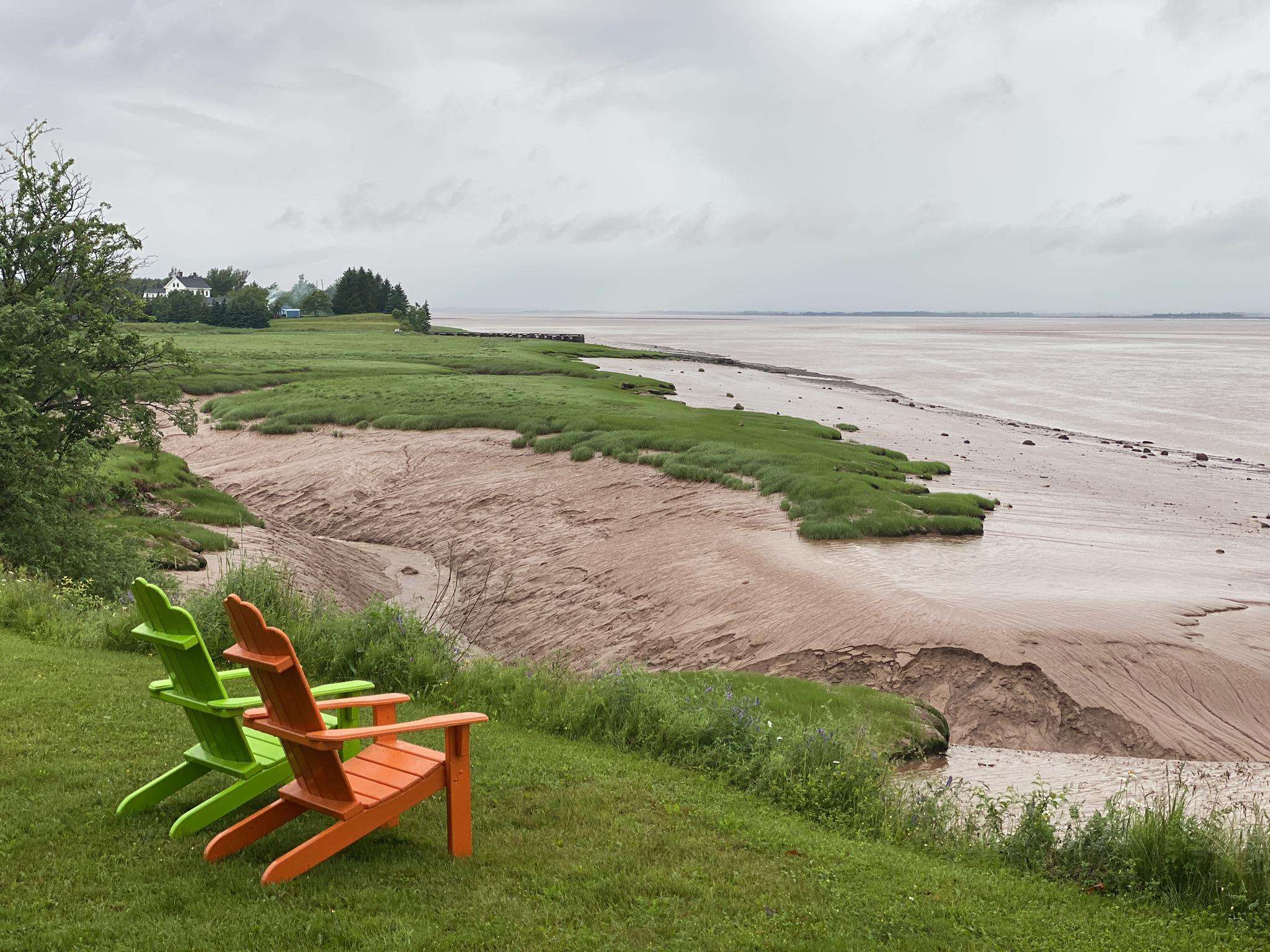
Road cycling routes around Pictou, Subd. A, are set along Nova Scotia's Northumberland Shore, characterized by a rugged coastline, rolling hills, and extensive forests. The region offers diverse and scenic routes on well-paved surfaces, suitable for various fitness levels. Cyclists can explore historic sites, farmlands, and charming seaside villages. The terrain includes gentle coastal stretches and routes with moderate elevation gains.
Best road cycling routes around Pictou, Subd. A
- The most popular road cycling route is Roadbike loop from Town…
Last updated: June 27, 2026
3
riders
85.8km
03:53
500m
500m
Moderate road ride. Good fitness required. Mostly well-paved surfaces and easy to ride.
3
riders
25km
01:22
190m
190m
Easy road ride. Great for any fitness level. Mostly well-paved surfaces and easy to ride.

Sign up for free
3
riders
63.1km
03:01
310m
310m
Moderate road ride. Good fitness required. Some segments of this route may be unpaved and difficult to ride.
3
riders
34.8km
01:43
150m
150m
Easy road ride. Great for any fitness level. Mostly well-paved surfaces and easy to ride.
Our route recommendations are based on thousands of hikes, rides, and runs completed by other people on komoot.
Start today with a free account
Your next adventure awaits.
Login or Signup
Frequently Asked Questions
What kind of terrain can I expect on road cycling routes in Pictou, Subd. A?
Road cycling routes in Pictou, Subd. A, offer a diverse landscape. You'll find a mix of rugged coastline, rolling hills, and extensive forests. Routes range from gentle coastal stretches to those with moderate elevation gains, providing varied terrain for different fitness levels. The region is known for its well-paved surfaces.
Are there any easy road cycling routes suitable for beginners in Pictou, Subd. A?
Yes, there are several easy road cycling options. For instance, the Roadbike loop from Victory Heights is an easy 25 km route with moderate elevation, taking about 1 hour 20 minutes. Another easy option is the Salisbury Bight loop from Anchor Park and Laundromat, which is about 35 km and typically completed in under 2 hours, leading through farmlands and along the Northumberland Strait.
What are some scenic highlights I can see while road cycling in Pictou, Subd. A?
The region offers beautiful coastal scenery along the Northumberland Strait, known for its warm saltwater. You can cycle past historic sites, charming seaside villages, and farmlands. The Jitney Trail, while multi-use, offers panoramic views along the Pictou waterfront and interpretive panels about the area's history. The 'Pictou – Pugwash' path also highlights the picturesque Northumberland Strait coastline.
Are there any longer or more challenging road cycling routes available?
Yes, for those seeking a longer ride, the Roadbike loop from Town of Pictou is a popular choice, covering approximately 86 km with about 500 meters of elevation gain, typically taking around 4 hours. Another moderate option is the Toney River loop from Waterside, which is about 63 km with over 300 meters of elevation.
What is the best time of year for road cycling in Pictou, Subd. A?
The Northumberland Shore, where Pictou, Subd. A is located, is known for having some of the warmest saltwater north of the Carolinas, suggesting pleasant weather during the warmer months. Late spring through early autumn typically offers the most favorable conditions for road cycling, with comfortable temperatures and less chance of adverse weather.
Are there any loop road cycling routes in the area?
Yes, many of the road cycling routes in Pictou, Subd. A are designed as loops. Examples include the popular Roadbike loop from Town of Pictou, the Roadbike loop from Victory Heights, and the Toney River loop from Waterside, all offering circular journeys to explore the region.
What attractions are near the cycling routes in Pictou, Subd. A?
Beyond the cycling routes, the region offers several attractions. You can visit the Hector Heritage Quay, featuring a full-size replica of the Ship Hector, or the Northumberland Fisheries Museum. The Jitney Trail itself is a significant attraction, running along the Pictou waterfront. For natural beauty, Caribou-Munroes Island Provincial Park, Melmerby Beach Provincial Park, and Waterside Beach Provincial Park offer beautiful sandy beaches.
Is there public transport available that accommodates bikes in Pictou, Subd. A?
While the region has a well-developed infrastructure, specific public transport options that accommodate bikes for touring purposes are not explicitly detailed in regional information. It's advisable to check with local transport providers directly for current policies and services regarding bicycle transport.
Where can I find parking for road cycling routes in Pictou, Subd. A?
Many routes originate from key locations like the Town of Pictou, Victory Heights, or Anchor Park and Laundromat. These starting points often have designated parking areas suitable for cyclists. For specific routes, checking the starting point on the komoot tour page can often provide details on available parking.
Are there family-friendly cycling options in Pictou, Subd. A?
While some road cycling routes are easy, for families with younger children or those preferring off-road, multi-use trails like the Jitney Trail (3 km paved along Pictou waterfront), the Short Line Trail (12.7 km), and the Acadia Park Trail (2.35 km) offer safer and more relaxed cycling experiences away from vehicle traffic.
What is the overall experience of road cycling in Pictou, Subd. A, according to other cyclists?
Cyclists exploring Pictou, Subd. A, often appreciate the region's blend of natural beauty and accessible routes. The area is praised for its diverse terrain, ranging from coastal views to rolling hills, and the opportunity to experience historic sites and charming villages. The well-paved surfaces and varied difficulty levels cater to a wide range of abilities.

Get inspired with the komoot mobile app


Explore more
Browse the best Road cycling routes in other regions.
