The best road cycling routes around Area D (Lardeau Valley/Duncan Lake)
72
riders
5
rides
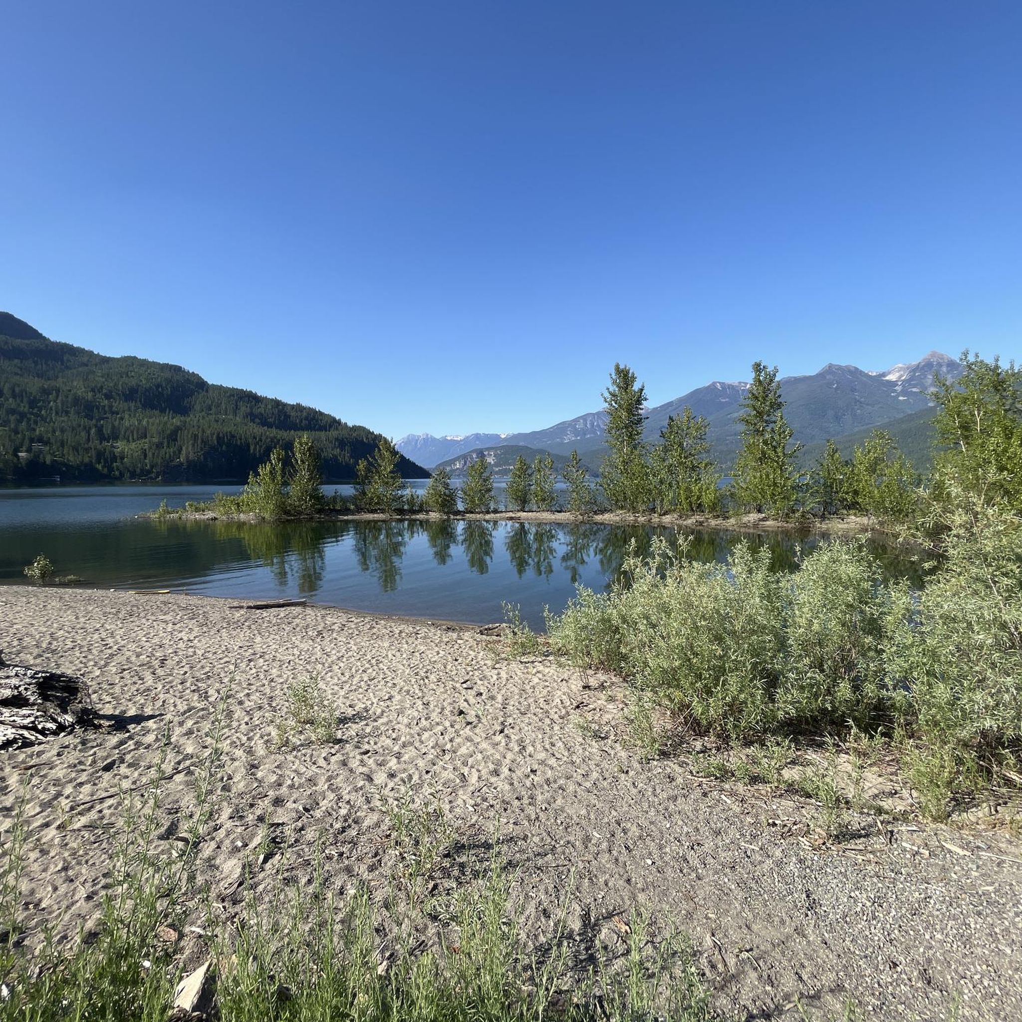
Road cycling routes around Area D (Lardeau Valley/Duncan Lake) traverse a rugged, high-elevation landscape characterized by a broad valley bottom floodplain and delta at the north end of Kootenay Lake. This area is shaped by the Duncan and Lardeau Rivers, offering diverse terrain from low-lying wet valleys to higher elevations. The region's roadways provide scenic routes, with some segments potentially unpaved, requiring good to very good fitness for longer rides.
Best road cycling routes around Area D (Lardeau Valley/Duncan Lake)
…Last updated: July 2, 2026
30
riders
65.3km
02:56
590m
590m
Moderate road ride. Good fitness required. Some segments of this route may be unpaved and difficult to ride.
15
riders
97.3km
04:58
1,490m
1,490m
Hard road ride. Very good fitness required. Some segments of this route may be unpaved and difficult to ride.

Sign up for free
9
riders
132km
06:25
1,960m
1,950m
Hard road ride. Very good fitness required. Some segments of this route may be unpaved and difficult to ride.
10
riders
61.3km
02:52
760m
760m
Moderate road ride. Good fitness required. Some segments of this route may be unpaved and difficult to ride.
8
riders
72.4km
03:40
1,210m
1,210m
Hard road ride. Very good fitness required. Some segments of this route may be unpaved and difficult to ride.
Our route recommendations are based on thousands of hikes, rides, and runs completed by other people on komoot.
Start today with a free account
Your next adventure awaits.
Login or Signup
Popular around Area D (Lardeau Valley/Duncan Lake)
Tips from the Community

This picturesque covered bridge is one of two that cross over the Kaslo River on the Kaslo River Trail. This is the closest one to town, so even if you don't have time to do the full trail, it's worth it to come out here to see the fairytale like setting.
0
0

The Galena Trail has a few trailheads. This trailhead in Three Forks, on the east side of Sandon Road, has parking and marks the easternmost point of the Galena Trail.
0
0
Frequently Asked Questions
What is the overall character of road cycling in Area D (Lardeau Valley/Duncan Lake)?
Road cycling in Area D offers a diverse experience across a rugged, high-elevation landscape. You'll encounter a broad valley bottom floodplain and delta at the north end of Kootenay Lake, shaped by the Duncan and Lardeau Rivers. Routes feature varied terrain, from low-lying wet valleys with towering cedar and cottonwood trees to more challenging sections with significant elevation changes. While many roads are scenic and well-maintained, some segments may include unpaved sections, requiring good to very good fitness for longer rides.
How many road cycling routes are available in Area D (Lardeau Valley/Duncan Lake)?
There are over 7 road cycling routes available in Area D (Lardeau Valley/Duncan Lake) documented on komoot, offering a range of distances and difficulties to suit various fitness levels.
Are there road cycling routes suitable for beginners or those seeking an easier ride?
While many routes in Area D involve significant elevation, there are moderate options. For instance, the Crescent Bay – Roberts Bay loop from Balfour is a moderate 65.3 km ride with around 590 meters of elevation gain, offering beautiful views of Kootenay Lake without being overly strenuous. Another moderate option is the Kaslo River – Fish Lake loop from Kaslo, which is 61.3 km with about 760 meters of elevation.
What are some challenging road cycling routes for experienced riders in the Lardeau Valley?
For experienced riders seeking a challenge, Area D offers several difficult routes. The Galena Trailhead loop from New Denver is a demanding 96.5 km path with over 1,480 meters of elevation gain. Another strenuous option is the Fish Lake – Mirror Lake loop from Balfour, covering 132 km with nearly 1,950 meters of climbing.
What natural attractions or viewpoints can I see along the road cycling routes?
Road cycling routes in Area D offer stunning natural attractions. You'll enjoy beautiful views of Kootenay Lake and traverse the Duncan and Lardeau River valleys. Keep an eye out for the Duncan Dam, especially in winter and early spring when low water levels reveal remnants of prior settlements. The region is also rich in wildlife, including deer, moose, elk, and various bird species. The Meadow Creek Spawning Channel is a notable natural wonder, open to the public during spawning season (late August to early October) to observe fish, though bear activity can sometimes restrict access. For more information on the Meadow Creek area, you can visit visitkaslo.com.
When is the best time of year for road cycling in Area D?
The Kootenay region, including Area D, is considered a four-season destination. For road cycling, the warmer months, typically from late spring through early autumn, offer the most favorable conditions. This period avoids the snow and ice of winter, making all routes more accessible and enjoyable. Summer also provides opportunities for other activities like hiking and beach visits.
Are the road cycling routes in Area D fully paved?
While many routes in Area D feature well-paved surfaces, it's important to note that some segments may include unpaved sections. This can add to the challenge and requires good to very good fitness, especially for longer and more arduous rides. Always be prepared for varied road conditions when planning your trip.
Are there family-friendly road cycling options in Area D?
While the region is known for its rugged terrain and many routes involve significant climbs, families with good fitness levels can enjoy some of the moderate routes. It's recommended to check the specific route details for distance, elevation, and surface conditions to ensure it aligns with your family's capabilities. The scenic beauty of Kootenay Lake and the Lardeau Valley can make for a rewarding family outing.
What do other road cyclists enjoy most about road cycling in Area D (Lardeau Valley/Duncan Lake)?
Road cyclists frequently praise the stunning Kootenay Lake views, the diverse landscapes of the Duncan and Lardeau River valleys, and the varied elevation changes that offer both scenic cruising and challenging climbs. The remote feel of many routes, combined with well-maintained highways, contributes to a highly enjoyable experience. The komoot community has actively explored this area, with over 80 road cyclists having used the platform to discover its unique terrain.
Are there amenities like cafes or rest stops along the road cycling routes?
The Kootenay region is known for its scenic roadways, including quiet, well-maintained highways along Kootenay Lake, which often include ample rest stops and accommodations. While the Lardeau Valley can feel remote, towns like Kaslo (near the Kaslo River – Fish Lake loop) offer amenities such as cafes and pubs. It's always a good idea to plan your route and check for available services in towns or villages along your chosen path.
Can I bring my dog on road cycling routes in Area D?
While the Lardeau Valley is rich in natural beauty and wildlife, specific information regarding dog-friendly policies for road cycling routes is not readily available. Given the presence of large mammals like bears, moose, and elk, it's crucial to exercise caution and ensure your dog is well-controlled and on a leash if allowed. Always check local regulations and trail-specific rules before bringing your pet.
Most popular routes around Area D (Lardeau Valley/Duncan Lake)
Most popular attractions around Area D (Lardeau Valley/Duncan Lake)

Get inspired with the komoot mobile app


Explore more
Browse the best Road cycling routes in other regions.
