The best gravel rides in Clinton County
5.0
(6)
56
riders
10
rides
Gravel biking in Clinton County, Pennsylvania, offers extensive opportunities across its diverse natural landscapes. The region is characterized by vast state lands, including Bald Eagle State Forest, providing a robust network of unpaved roads and trails. Riders can expect varied terrain, from rolling hills to more challenging climbs, with routes often traversing dense woodlands and offering scenic views. The county's commitment to maintaining its unpaved roads ensures a unique gravel biking experience.
Best gravel bike trails in Clinton County
- The…
Last updated: August 20, 2026
5.0
(2)
19
riders
90.6km
04:47
550m
550m
Hard gravel ride. Very good fitness required. Mostly paved surfaces. Suitable for all skill levels.
5.0
(1)
10
riders
44.0km
02:27
390m
390m
Moderate gravel ride. Good fitness required. Mostly paved surfaces. Suitable for all skill levels.

Sign up for free
7
riders
66.0km
04:38
960m
960m
Hard gravel ride. Very good fitness required. Mostly paved surfaces. Suitable for all skill levels.
5
riders
46.8km
03:46
880m
890m
Hard gravel ride. Very good fitness required. Mostly paved surfaces. Suitable for all skill levels.
5.0
(1)
4
riders
45.8km
03:41
930m
940m
Hard gravel ride. Very good fitness required. Mostly paved surfaces. Suitable for all skill levels.
4
riders
44.6km
03:31
820m
820m
Hard gravel ride. Very good fitness required. Mostly paved surfaces. Suitable for all skill levels.
5.0
(1)
4
riders
47.8km
04:01
800m
800m
Hard gravel ride. Very good fitness required. Mostly paved surfaces. Suitable for all skill levels.
Get access to more routes and recommendations from other explorers.
Sign up for free
Already have an account?
Our route recommendations are based on thousands of hikes, rides, and runs completed by other people on komoot.
Start today with a free account
Your next adventure awaits.
Login or Signup

Other adventures in Clinton County

Tips from the Community


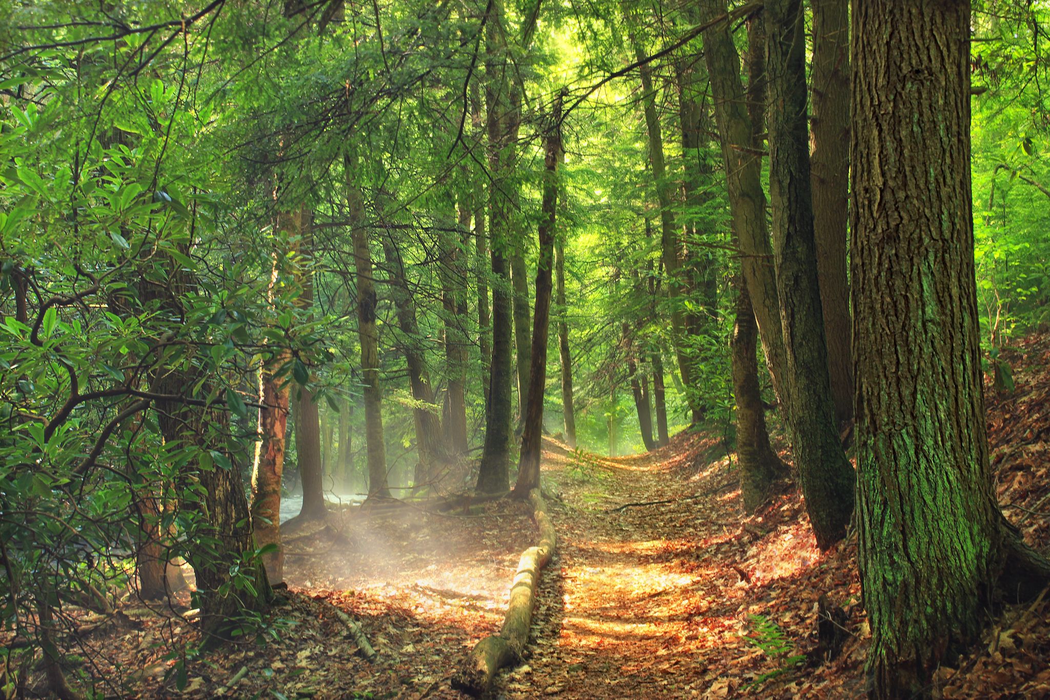
Covering more than 10,500 acres, State Game Lands No. 89 protects a vast stretch of Pennsylvania's "big woods," where long gravel roads wind through unbroken forest and steep mountain valleys. The area is home to black bears, bobcats, fishers, white-tailed deer, and countless bird species, making it one of the state's most important wildlife habitats. Keep your eyes open and you may spot far more than fellow riders. The game lands are also popular for hiking, fishing, and hunting, so if you're visiting during hunting season, wear bright clothing and stay aware of other users.
0
0
Hazard Road traverses the mountain ridge, weaving between dense woodland and open stretches that reveal views across the surrounding forest. The gravel surface is generally smooth and makes for a rewarding ride, but stay alert for the occasional 4x4, as this road is also popular with off-road drivers. The road passes through Pennsylvania State Game Lands and is typically only open during Pennsylvania's licensed hunting seasons, primarily from October through January and again in May, so access can vary throughout the year. If you're riding during an open season, it's also worth wearing bright clothing and staying aware of hunters in the area.
0
0
Carrier Road marks a real shift in the ride. As you head north and deeper into the forest, the climbing kicks up for roughly 3 miles, with the Farrandsville Iron Furnace acting as your cue that the work has begun. Completed in 1837, the furnace was once the first and largest coke-fired hot-blast iron furnace in North America, standing 54 feet tall. If you are riding southbound, enjoy coasting downhill through the beautiful forest.
0
0
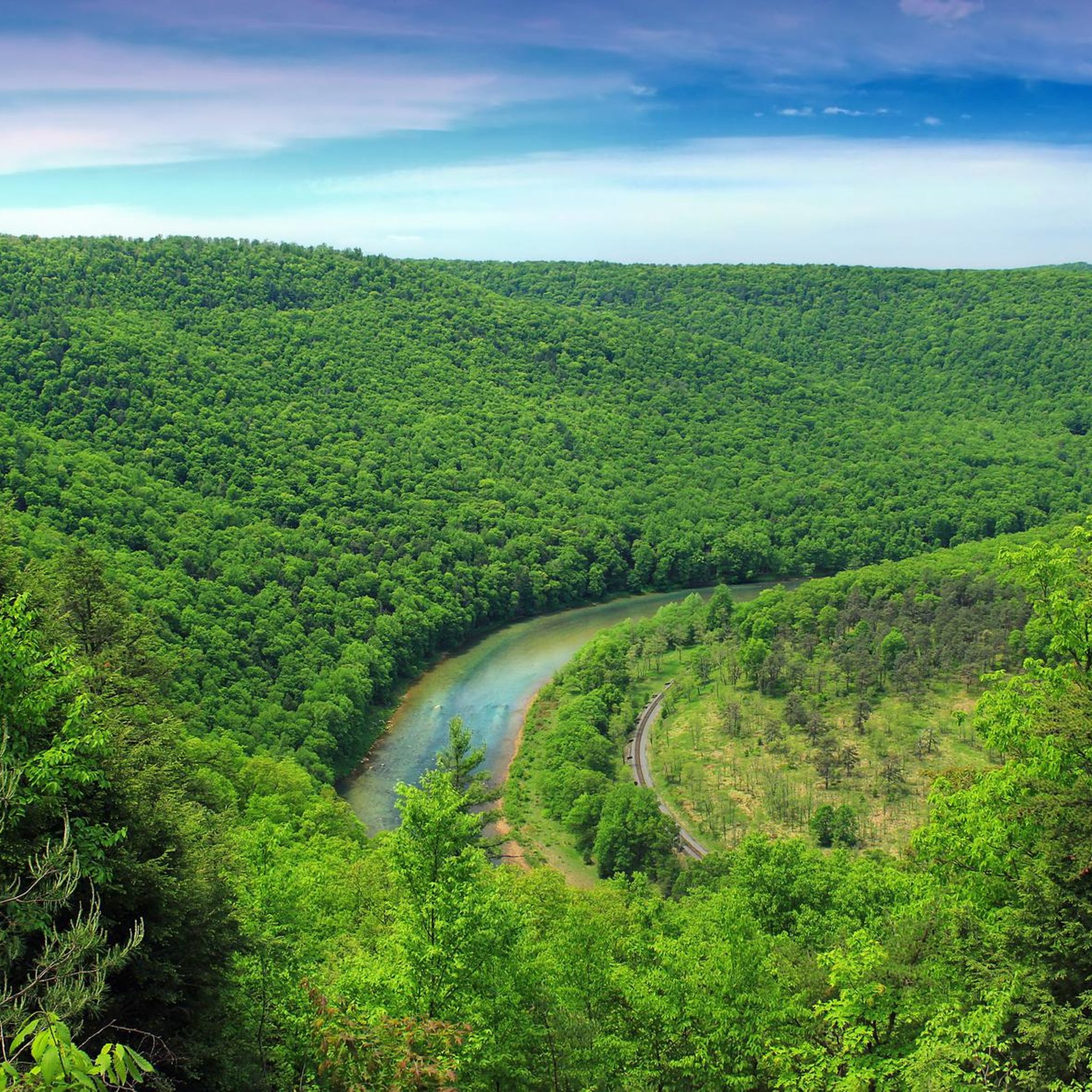
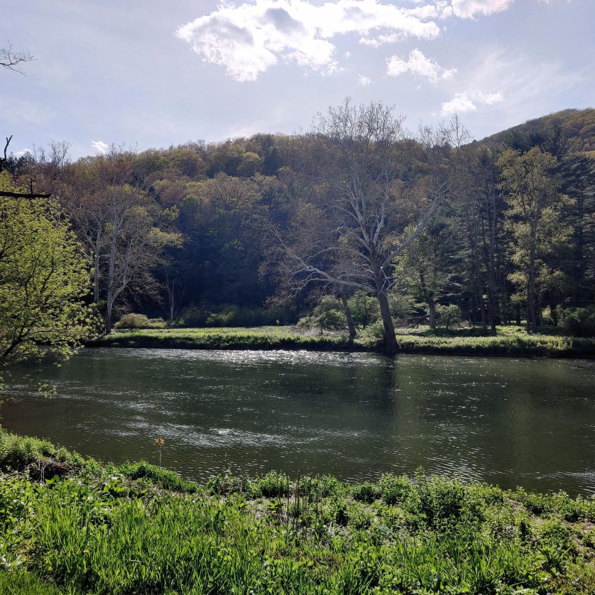
Flowing for more than 225 miles through central Pennsylvania, the West Branch of the Susquehanna River has shaped the region for centuries. Once a vital route for transporting timber during Pennsylvania's logging era, it's now a scenic waterway bordered by forests, farmland, and quiet river towns. The broad river provides a peaceful backdrop as you ride, with wide-open views that make it one of the defining landscapes of this part of the state.
1
0

Great location for an overnight stay along Pine Creek. Plenty of tent sites, access to the Creek.
0
0
Frequently Asked Questions
How many gravel bike trails are available in Clinton County?
Clinton County offers a selection of over 5 gravel bike trails, catering to various skill levels. These routes traverse the diverse natural landscapes, including vast state lands and extensive unpaved roads.
What kind of terrain can I expect on gravel bike trails in Clinton County?
The terrain in Clinton County is varied, ranging from rolling hills to more challenging climbs. You'll encounter extensive unpaved roads, some with 'dirt & rock' surfaces, and others that are partially doubletrack or grass-covered. The region's commitment to maintaining its unpaved roads ensures a unique gravel biking experience through dense woodlands.
Are there any beginner-friendly gravel bike routes in Clinton County?
While many routes in Clinton County are rated as difficult, there are options that can be adapted for easier rides. For instance, the Pine Creek Gorge – Hoffman Campground loop from Black Walnut Bottom is rated as moderate, offering a good starting point for those looking for a less strenuous experience compared to the more challenging routes.
Where can I find long-distance gravel biking routes in Clinton County?
For a longer ride, consider the Hoffman Campground loop from Waterville Access. This route spans over 50 miles (81 km) and features significant elevation changes through forested areas, providing a substantial challenge for experienced gravel bikers.
Are there any circular gravel bike routes in Clinton County?
Yes, many of the gravel bike routes in Clinton County are designed as loops. Examples include the Sand Mountain – Sand Mountain loop from Mile Run Recreational Parking and the Jones Mountain loop from 030 Stony Run Road, allowing you to start and end at the same point.
What are the best places to park for gravel biking in Clinton County?
Parking is often available at designated recreational areas or trailheads. For routes in the Sand Mountain area, Mile Run Recreational Parking is a common starting point. Other routes may have access points from locations like Waterville Access or Black Walnut Bottom, which typically offer parking facilities.
What natural features or landmarks can I see along the gravel bike trails?
Clinton County's gravel trails often traverse vast state lands like Bald Eagle State Forest, offering scenic views of dense woodlands. While riding, you might encounter natural areas such as Cranberry Swamp Natural Area or parts of Burns Run Wild Area. For expansive vistas, Hyner View State Park is a popular spot nearby.
What do other gravel bikers enjoy most about Clinton County?
The gravel biking experience in Clinton County is highly rated by the komoot community, with an average score of 5.0 stars. Reviewers often praise the diverse landscapes, the extensive network of unpaved roads, and the challenging yet rewarding routes that immerse them in the region's natural beauty.
Are there any advanced or difficult gravel bike routes in Clinton County?
Yes, Clinton County offers several challenging routes for experienced riders. The Sand Mountain – Sand Mountain loop from 004 Spruce Run Road is a difficult route with significant elevation gain, exploring the remote feel of the Sand Mountain area. Another demanding option is the Sand Mountain – Sand Mountain loop from R. B. Winter State Park.
When is the best time of year to go gravel biking in Clinton County?
The best time for gravel biking in Clinton County is typically during spring, summer, and fall when the weather is milder and the trails are most accessible. The vibrant foliage in autumn offers particularly scenic rides. While some routes might be passable in winter, conditions can be challenging due to snow and ice, especially on remote unpaved roads.
Are there any family-friendly gravel biking options in Clinton County?
While many of the listed routes are challenging, the region offers diverse landscapes. For family-friendly options, consider exploring less strenuous sections of unpaved roads or local park trails. The Lock Haven Levee Trail/William Clinger Riverwalk, for example, provides accessible paths suitable for easier rides, though it may not be a dedicated gravel route.
Most popular routes in Clinton County
Most popular attractions in Clinton County

Get inspired with the komoot mobile app


Explore more
Browse the best Gravel rides in other regions.
