The best mountain hikes around Saint-Pierre-Saint-Jean
5.0
(2)
7
hikers
3
hikes
Mountaineering routes around Saint-Pierre-Saint-Jean traverse a diverse landscape characterized by significant elevation changes, ranging from 175 to 924 meters. The region features rocky, partly alpine areas, including the notable Labyrinth of Rocks of the Cévennes, alongside deep river valleys like the Gorges du Chassezac. This varied terrain offers challenging conditions for outdoor pursuits, with a mix of rugged formations and natural features such as chestnut groves and vineyards.
Best mountaineering routes around Saint-Pierre-Saint-Jean
- The most popular mountaineering route is Small…
Last updated: June 26, 2026
5.0
(1)
2
hikers
Moderate mountaineering route. Good fitness required. Mostly accessible paths. Sure-footedness required.
2
hikers
4.81km
01:22
50m
50m
Moderate mountaineering route. Great for any fitness level. Mostly accessible paths. Sure-footedness required.

Sign up for free
2
hikers
Moderate mountaineering route. Good fitness required. Mostly accessible paths. Sure-footedness required.
5.0
(1)
1
hikers
9.04km
02:57
380m
380m
Moderate mountaineering route. Good fitness required. Mostly accessible paths. Sure-footedness required.
Our route recommendations are based on thousands of hikes, rides, and runs completed by other people on komoot.
Start today with a free account
Your next adventure awaits.
Login or Signup
Tips from the Community

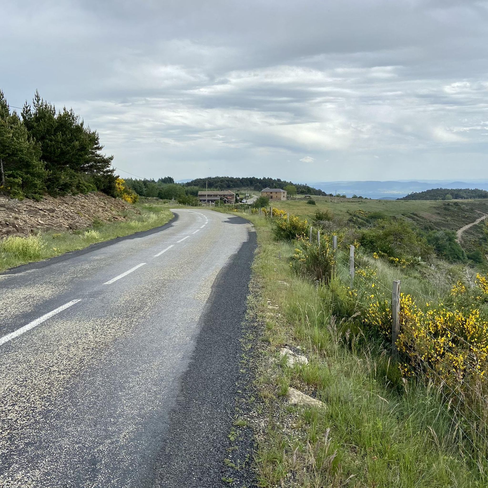
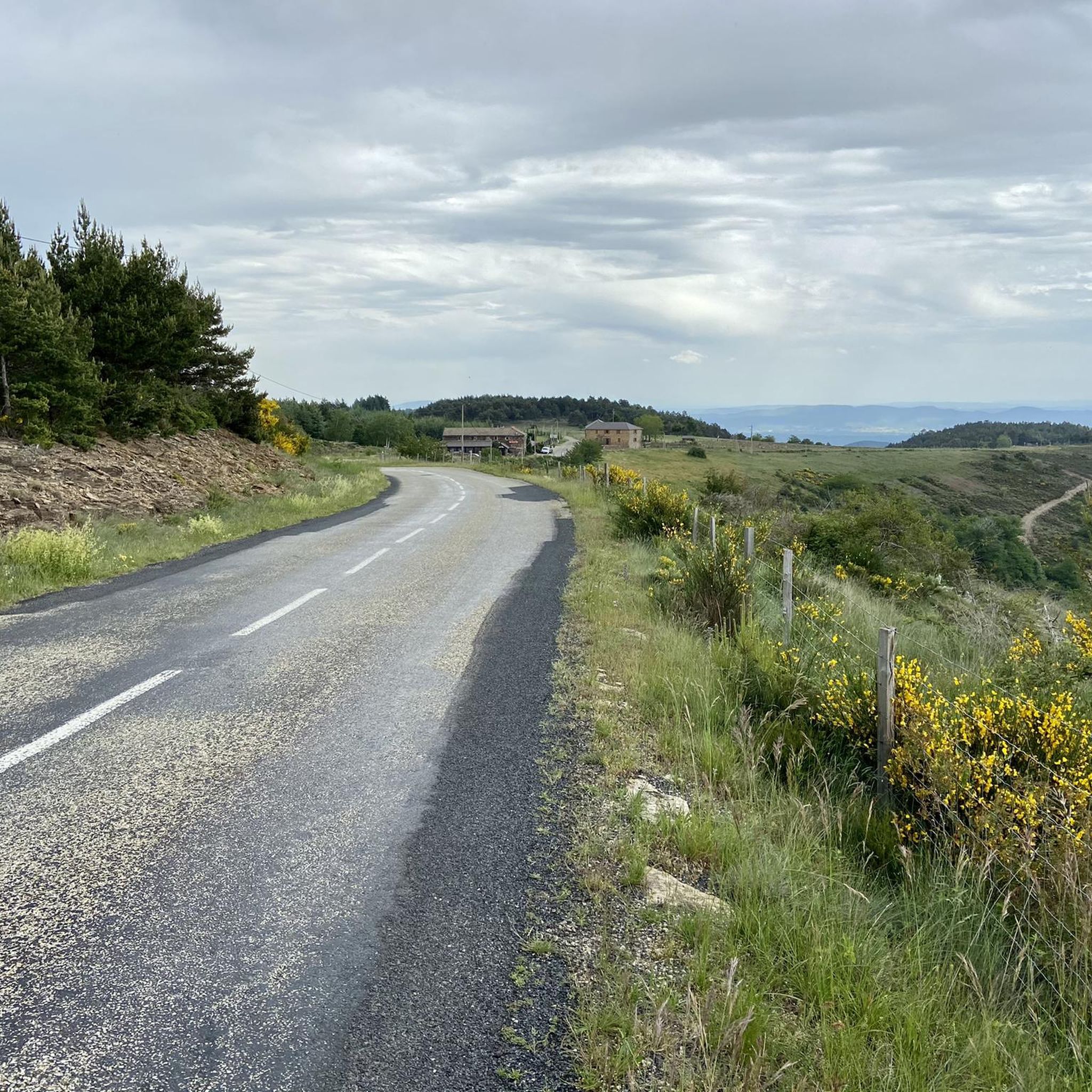
The forest offers not only the road to pass through, but above all beautiful hiking trails and challenging MTB trails.
0
0
Very beautiful scenery, lots to see and climb around. There is a restaurant and parking nearby.
0
0

Be sure to follow the trail markings to make sure you find your way through the maze of paths.
0
0

An ancestral village, the architecture of the buildings is sublime, there is a small bar restaurant with a relaxing terrace. Next to the bar restaurant is the church, usually open with some exhibitions, the town hall, and also a water point...!
1
0
Excellent hike, to get there, routes are marked from the parking lots.
2
0
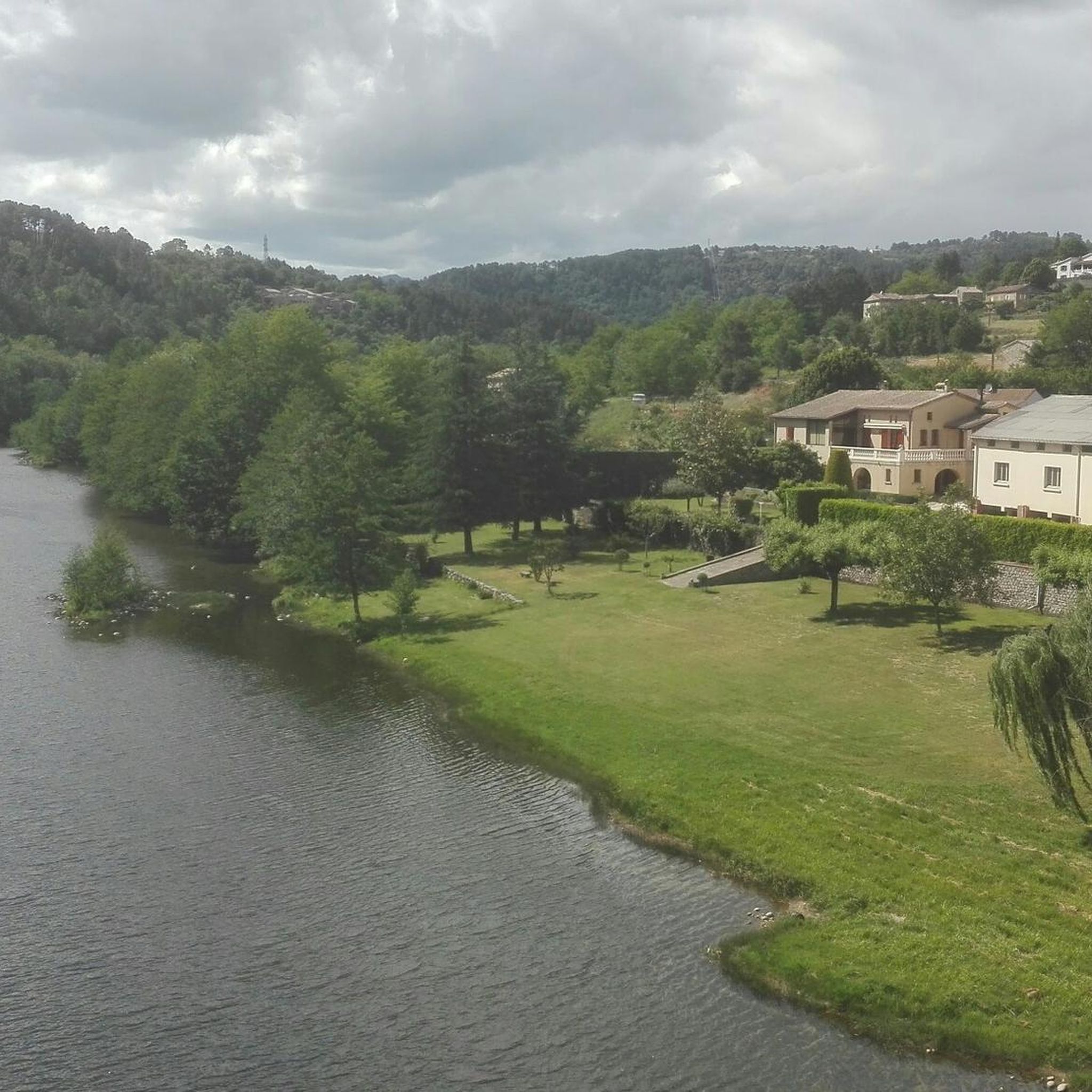
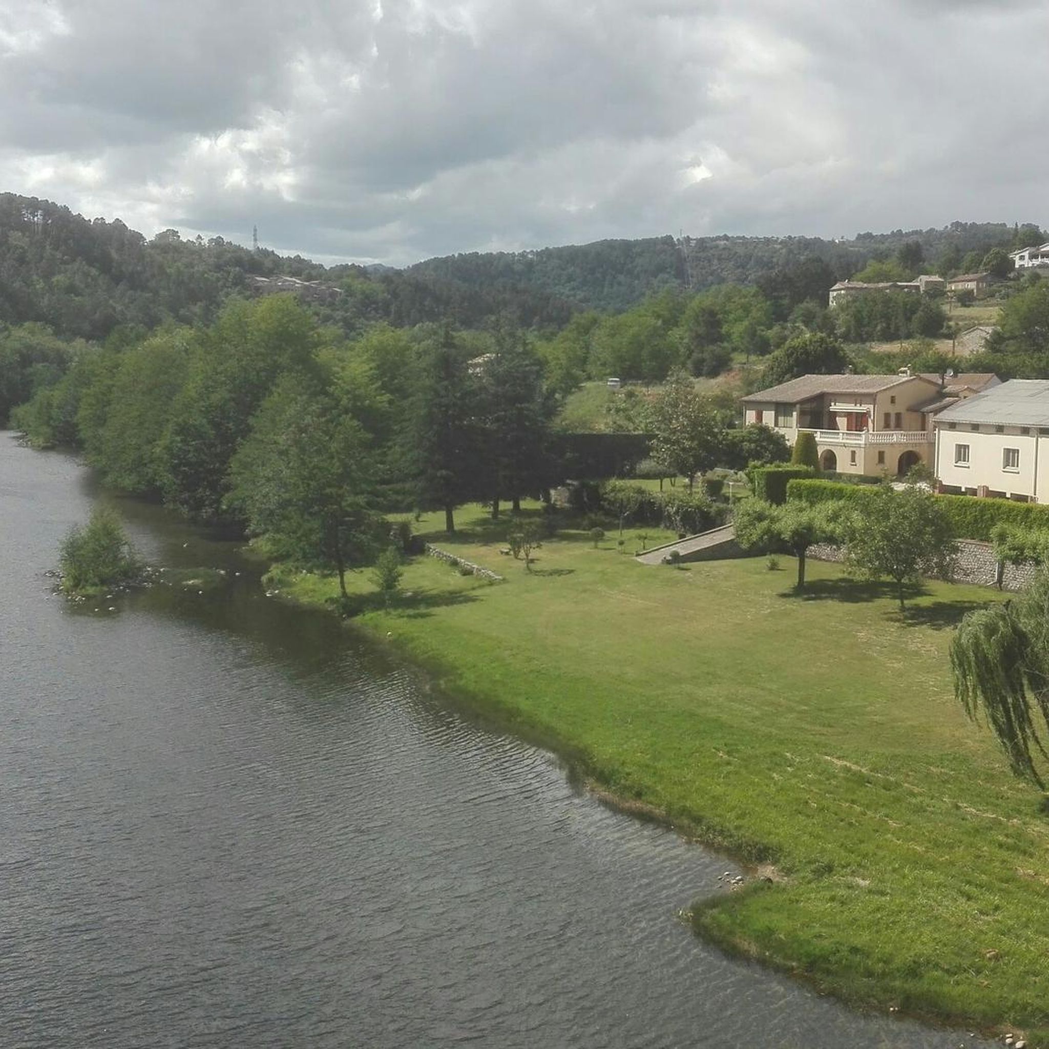
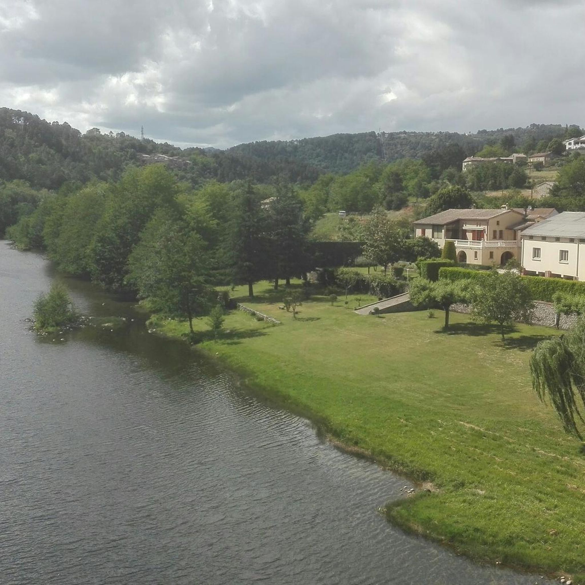
Magnificent, view of the Chassezac and the Lou Rouchetou campsite. The campsite offers excellent pizzas 👌
2
0

Be careful, this outing is done on a motorbike!!
0
0

Picturesque village, directly on the GR7 hiking trail
5
0
Frequently Asked Questions
What kind of terrain can I expect on mountaineering routes around Saint-Pierre-Saint-Jean?
The region offers a diverse landscape with significant elevation changes, from 175 to 924 meters. You'll encounter rocky, partly alpine areas, including the notable Labyrinth of Rocks of the Cévennes, alongside deep river valleys like the Gorges du Chassezac. The terrain also features chestnut groves, vineyards, and olive groves, providing a varied and challenging experience.
Are there any easy mountaineering routes for beginners in Saint-Pierre-Saint-Jean?
All the mountaineering routes currently listed around Saint-Pierre-Saint-Jean are rated as moderate. While there aren't specific 'easy' routes, the shorter options like the Païolive Woods – View of Chassagnes loop from Chassagnes (4.8 km) could be a good starting point for those new to the area, offering less elevation gain.
What are the typical durations for mountaineering routes in this area?
The routes vary in length and duration. For example, the Païolive Woods – View of Chassagnes loop from Chassagnes can be completed in about 1 hour 22 minutes, while the longer Small cave for the curious – View of the Chassezac River loop from Les Borels typically takes around 3 hours 17 minutes.
Are there any circular mountaineering trails available?
Yes, all the listed mountaineering routes around Saint-Pierre-Saint-Jean are circular. This includes the Small cave for the curious – View of the Chassezac River loop from Les Borels, the Païolive Woods – View of Chassagnes loop from Chassagnes, and the Small cave for the curious – Swimming area on the Chassezac loop from Bois de Païolive, allowing you to start and finish at the same point.
What kind of natural attractions or landmarks can I see along these routes?
You'll find several notable natural features. The Small cave for the curious – View of the Chassezac River loop from Les Borels offers expansive views over the Chassezac River. The Païolive Woods – View of Chassagnes loop from Chassagnes winds through the distinctive Païolive Woods, known for its unique rock formations. Additionally, the Small cave for the curious – Swimming area on the Chassezac loop from Bois de Païolive provides access to a swimming area along the Chassezac River.
Are there any routes that offer swimming opportunities?
Yes, the Small cave for the curious – Swimming area on the Chassezac loop from Bois de Païolive specifically includes access to a swimming area along the Chassezac River, which is known for its pebble beaches and opportunities for paddle boating.
What is the best time of year for mountaineering in Saint-Pierre-Saint-Jean?
The region's diverse landscape, with its river valleys, chestnut groves, and vineyards, makes it enjoyable across multiple seasons. While specific recommendations for mountaineering aren't provided, spring and autumn generally offer pleasant temperatures and vibrant scenery. Summer can be warm, especially in the river valleys, but also provides opportunities for swimming. Winter conditions might vary, particularly in the higher, more rugged areas.
What do other mountaineers say about the routes in Saint-Pierre-Saint-Jean?
The mountaineering routes in Saint-Pierre-Saint-Jean are highly rated by the komoot community, with an average score of 5.0 stars from 2 reviews. Users often appreciate the varied terrain, the scenic views over the Chassezac River, and the unique rock formations found in areas like the Païolive Woods.
Are there any particularly challenging mountaineering trails in the area?
While all listed routes are rated as moderate, the significant elevation changes across the region, ranging up to 924 meters, mean that even moderate routes can offer a good challenge. The Small cave for the curious – View of the Chassezac River loop from Les Borels, with an elevation gain of 280 meters over 10.4 km, presents a more strenuous option compared to shorter routes.
Are there any specific areas known for unique rock formations?
Yes, the Labyrinth of Rocks of the Cévennes is a natural monument particularly relevant for those interested in rocky formations. The Païolive Woods – View of Chassagnes loop from Chassagnes also winds through distinctive rock landscapes.
What is the longest mountaineering route available?
The longest mountaineering route listed is the Small cave for the curious – View of the Chassezac River loop from Les Borels, which covers a distance of 10.4 kilometers.
Are there any routes that offer significant viewpoints?
The Small cave for the curious – View of the Chassezac River loop from Les Borels is specifically highlighted for its expansive views over the Chassezac River. The Païolive Woods – View of Chassagnes loop from Chassagnes also provides scenic vistas of Chassagnes.
Most popular routes around Saint-Pierre-Saint-Jean
Most popular attractions around Saint-Pierre-Saint-Jean

Get inspired with the komoot mobile app


Explore more
Browse the best Mountain Hikes & Routes in other regions.
