The best walks and hikes around Tilloy-Lès-Conty
4.7
(51)
257
hikers
47
hikes
Hiking around Tilloy-Lès-Conty offers diverse landscapes within the Somme department of France. The region is characterized by the picturesque Selle River valley, which features a transformed railway line known as La Coulée Verte, providing accessible walking trails Tilloy-Lès-Conty. Hikers can expect a mix of natural and grassy paths, passing through woodlands, open fields, and serene ponds. The terrain generally presents gentle elevation changes, making it suitable for various activity levels.
Best hiking trails around Tilloy-Lès-Conty
- The most popular hiking route…
Last updated: June 26, 2026
5.0
(2)
11
hikers
15.3km
04:02
130m
130m
Moderate hike. Good fitness required. Easily-accessible paths. Suitable for all skill levels.
5.0
(2)
11
hikers
16.3km
04:17
140m
140m
Moderate hike. Good fitness required. Easily-accessible paths. Suitable for all skill levels.

Sign up for free
8
hikers
9.45km
02:28
70m
70m
Moderate hike. Good fitness required. Easily-accessible paths. Suitable for all skill levels.
4.5
(2)
10
hikers
21.0km
05:33
190m
190m
Hard hike. Very good fitness required. Easily-accessible paths. Suitable for all skill levels.
4.7
(3)
8
hikers
11.8km
03:02
60m
60m
Moderate hike. Good fitness required. Easily-accessible paths. Suitable for all skill levels.
Get access to more routes and recommendations from other explorers.
Sign up for free
Already have an account?
Our route recommendations are based on thousands of hikes, rides, and runs completed by other people on komoot.
Start today with a free account
Your next adventure awaits.
Login or Signup
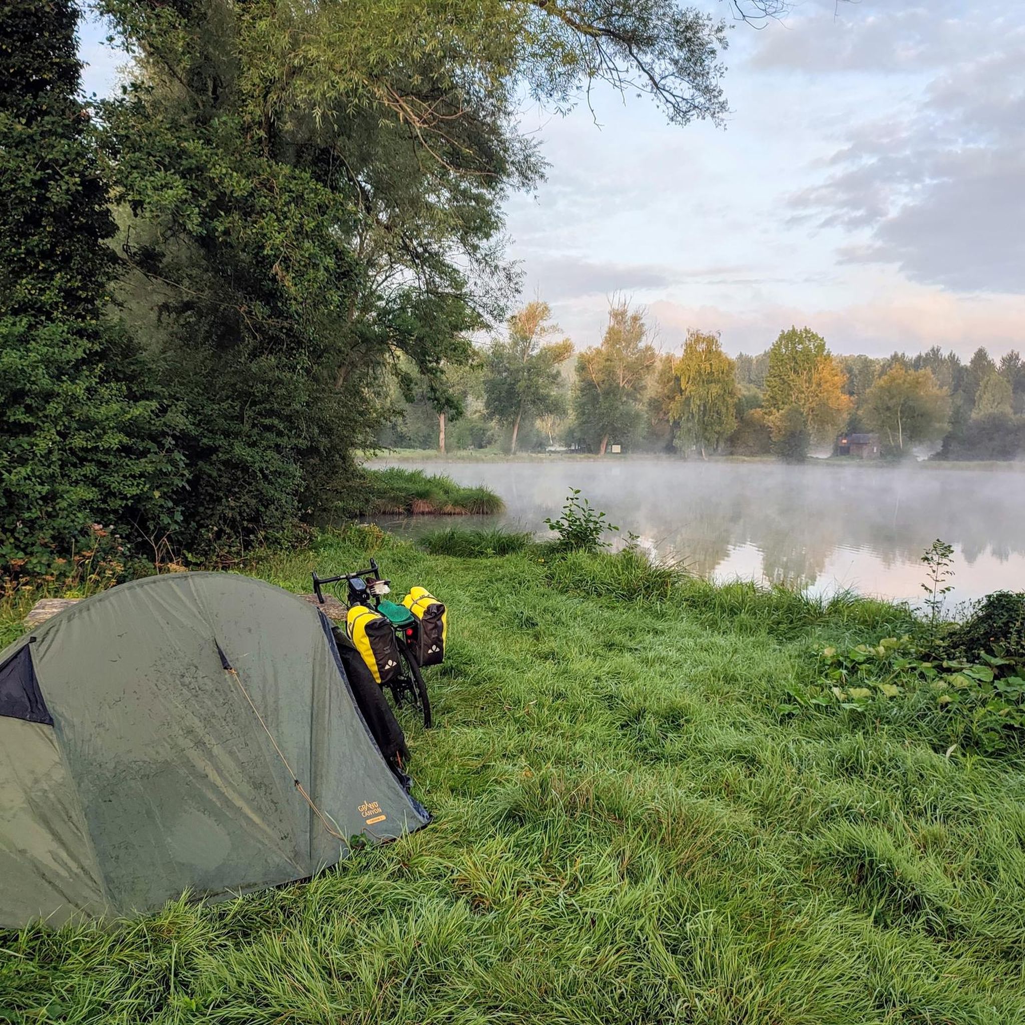
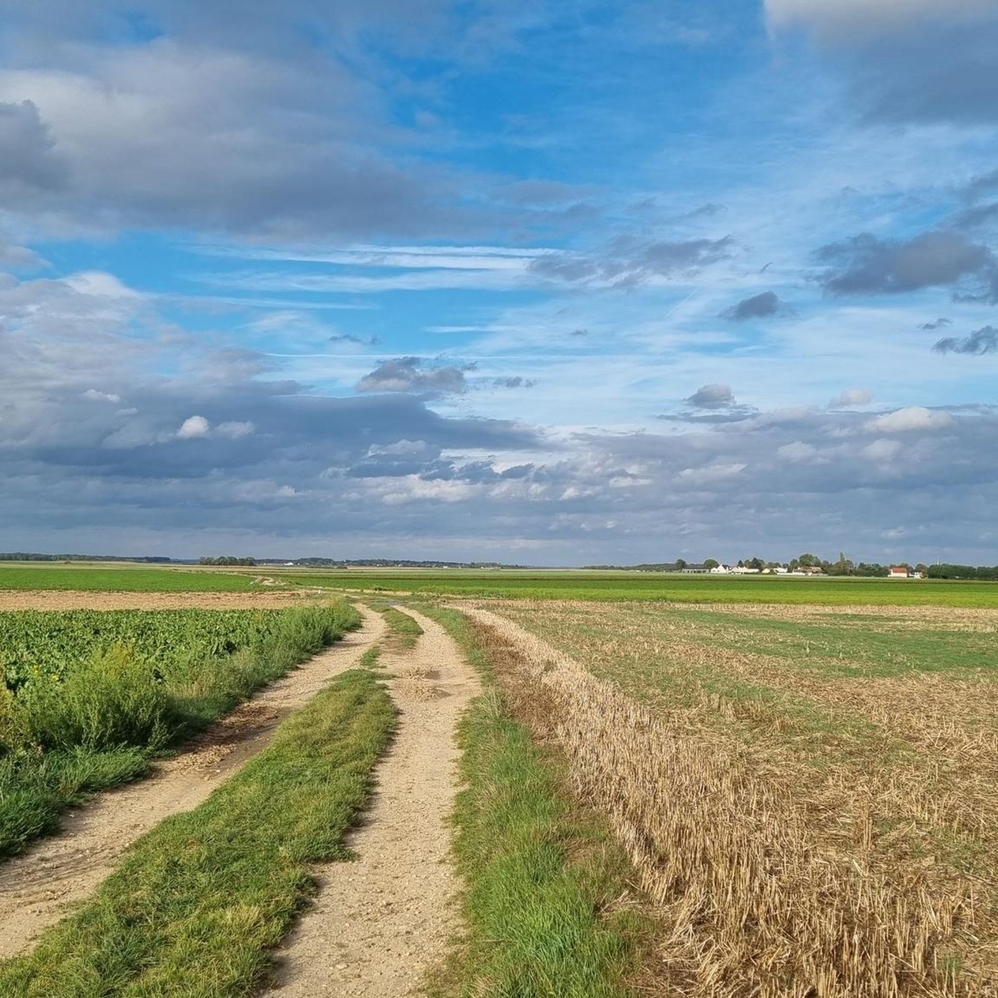
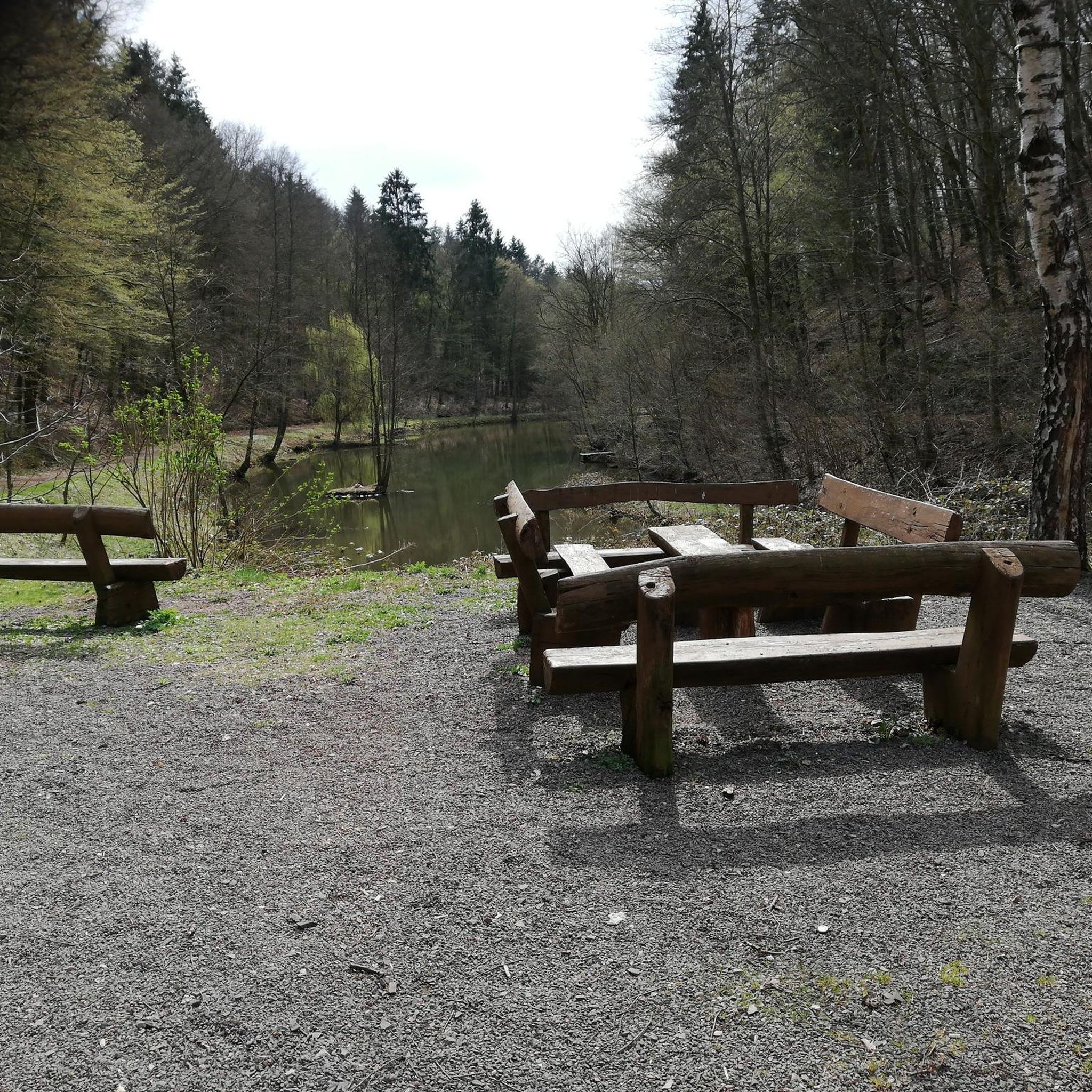
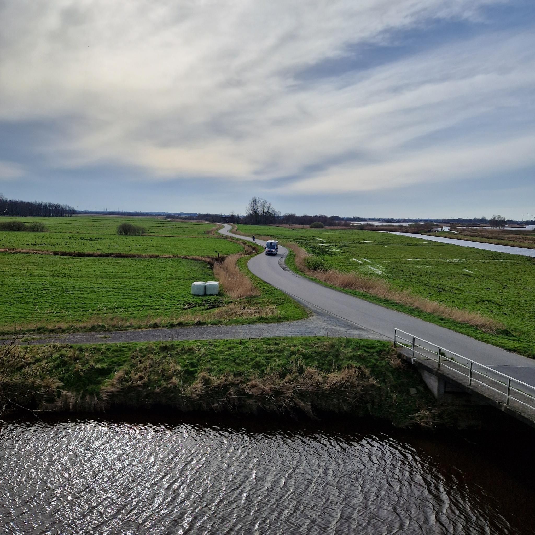
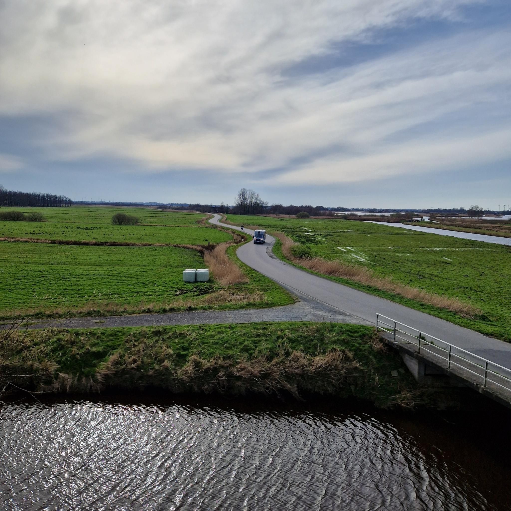
Tips from the Community

For the technicians, in the middle of nature around large fish bees
0
0
Frequently Asked Questions
How many hiking trails are available around Tilloy-lès-Conty?
Tilloy-lès-Conty offers a wide selection of routes, with over 45 hiking trails recorded on komoot. These range from easy strolls to more challenging treks, ensuring options for various fitness levels.
What kind of terrain can I expect on the hiking trails in Tilloy-lès-Conty?
The terrain around Tilloy-lès-Conty is characterized by the picturesque Selle River valley. You'll find a mix of natural and grassy paths, often following the Coulée Verte, an old railway line transformed into a scenic path. Expect gentle elevation changes, passing through woodlands, open fields, and serene ponds, making most trails suitable for various activity levels.
Are there any family-friendly hiking options in Tilloy-lès-Conty?
Yes, the region offers several easy, family-friendly walks. The Coulée Verte itself is very accessible, with natural and grassy paths, and features like picnic areas. The area around "Les étangs de Conty" (the ponds of Conty) also provides tranquil, easy waterside loops perfect for families.
Can I bring my dog on the hiking trails in Tilloy-lès-Conty?
Many trails in Tilloy-lès-Conty, especially those along the Coulée Verte and through the natural landscapes, are generally dog-friendly. It's always recommended to keep your dog on a leash, especially near livestock or in protected natural areas, and to carry waste bags.
What are the best times of year to go hiking in Tilloy-lès-Conty?
The region is enjoyable for hiking throughout much of the year. Spring and autumn offer pleasant temperatures and beautiful scenery with blooming flowers or vibrant fall foliage. Summer is also great, especially for walks along shaded paths or near the ponds. Even winter can be charming for a crisp walk, though some paths might be muddy.
Are there circular hiking routes available around Tilloy-lès-Conty?
Yes, many of the popular routes in the area are circular. For example, the Abandoned Railway Bridge loop from Tilloy-lès-Conty is a moderate 9.4 km loop that takes you through the local countryside. The broader network, including the Coulée Verte, connects to various other loops, providing diverse options for round trips.
What natural features or landmarks can I see while hiking in Tilloy-lès-Conty?
Hikers can discover a mix of natural beauty and historical heritage. The trails often follow the picturesque Selle River Valley and pass by the serene Ponds of Conty. You might also encounter historical sites like the Château de Prouzel, old mills, and former railway stations along the Coulée Verte. The Hébécourt Wood also offers scenic sections.
Is there parking available for hikers in Tilloy-lès-Conty?
While specific parking areas for each trailhead are not always explicitly marked, Tilloy-lès-Conty and nearby communes generally offer public parking options. It's advisable to check local signage or use navigation apps to find suitable parking near your chosen starting point, especially in village centers or near popular access points to the Coulée Verte.
What do other hikers enjoy most about the trails in Tilloy-lès-Conty?
The hiking routes in Tilloy-lès-Conty are highly rated by the komoot community, with an average score of 4.7 stars. Reviewers often praise the peaceful atmosphere, the varied scenery of woodlands and fields, and the well-maintained paths of the Coulée Verte. The blend of nature and historical elements also receives positive feedback.
Are there any challenging hikes in the Tilloy-lès-Conty area?
While many trails are easy to moderate, there are options for those seeking a longer or more challenging experience. For instance, the Abandoned Railway Bridge loop from Conty is a difficult 21 km route with more elevation gain, offering a more strenuous outing for experienced hikers.
Can I access the hiking trails in Tilloy-lès-Conty using public transport?
Tilloy-lès-Conty is a small commune, and public transport options might be limited. While local bus services may connect to larger towns in the Somme department, direct access to trailheads via public transport might require some planning. It's recommended to check regional bus schedules or consider driving to the starting points of the trails.
What is the typical duration for hikes around Tilloy-lès-Conty?
Hiking durations vary significantly depending on the chosen route and your pace. Shorter, easy loops around the ponds might take an hour or two. Moderate trails like the Abandoned Railway Bridge – Saint-Vaast Church loop from Conty (15.3 km) typically take around 4 hours. Longer, more difficult routes can extend to 5 hours or more.
Most popular routes around Tilloy-Lès-Conty
Most popular attractions around Tilloy-Lès-Conty

Get inspired with the komoot mobile app


Explore more
Browse the best Hikes in other regions.
