The best mountain hikes around Manteyer
5.0
(3)
17
hikers
4
hikes
Mountaineering routes around Manteyer are characterized by the rugged terrain of the French Alps, featuring prominent peaks and significant elevation gains. The region offers a diverse landscape of mountain trails, from challenging ascents to more accessible paths through valleys and near historical sites. These routes often traverse varied environments, including rocky slopes and forested sections, providing panoramic views of the surrounding area. The area's geology contributes to distinct mountaineering experiences, with routes leading to notable summits like Pic de Charance…
Last updated: June 26, 2026
5.0
(1)
8
hikers
9.08km
03:54
800m
800m
Moderate mountaineering route. Good fitness required. Easily-accessible paths. Suitable for all skill levels.
2
hikers
12.8km
04:58
860m
860m
Moderate mountaineering route. Good fitness required. Easily-accessible paths. Suitable for all skill levels.

Sign up for free
2
hikers
9.10km
03:04
460m
470m
Moderate mountaineering route. Good fitness required. Easily-accessible paths. Suitable for all skill levels.
5.0
(1)
2
hikers
6.72km
01:51
110m
110m
Easy mountaineering route. Great for any fitness level. Easily-accessible paths. Suitable for all skill levels.
5.0
(1)
2
hikers
11.5km
04:12
690m
690m
Moderate mountaineering route. Good fitness required. Easily-accessible paths. Suitable for all skill levels.
Our route recommendations are based on thousands of hikes, rides, and runs completed by other people on komoot.
Start today with a free account
Your next adventure awaits.
Login or Signup
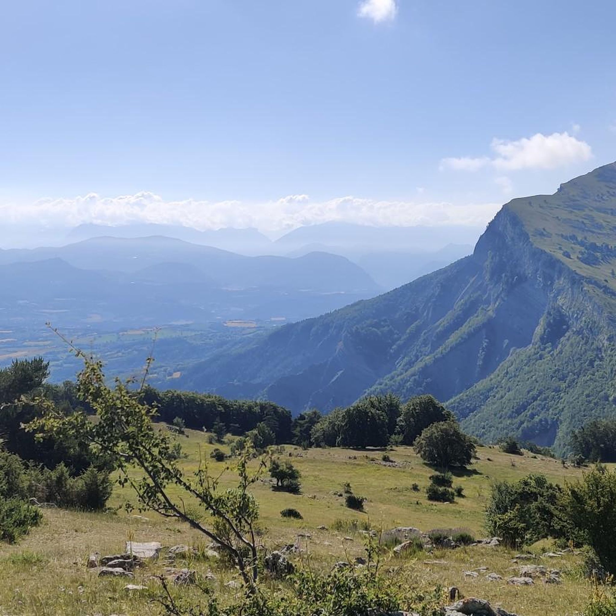
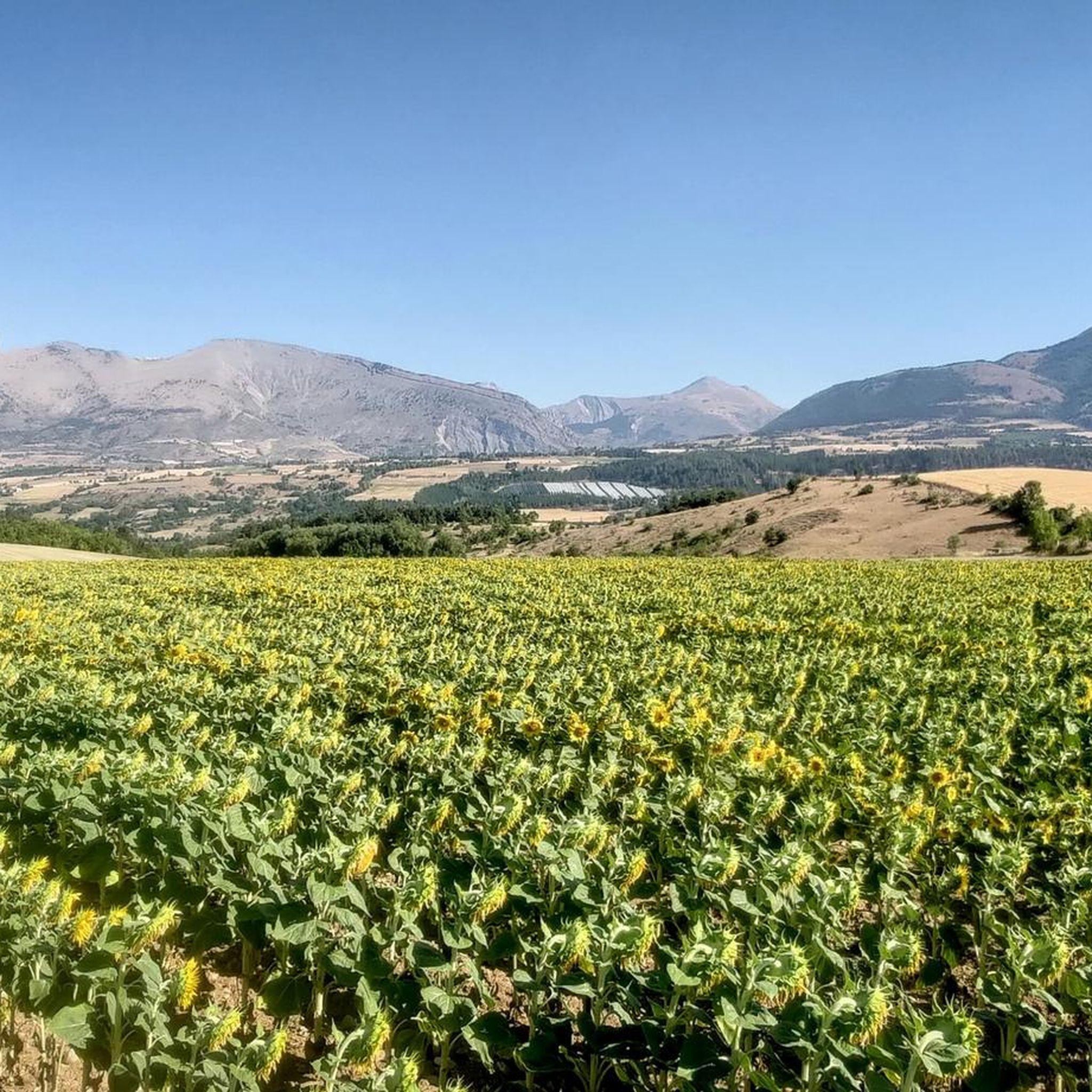
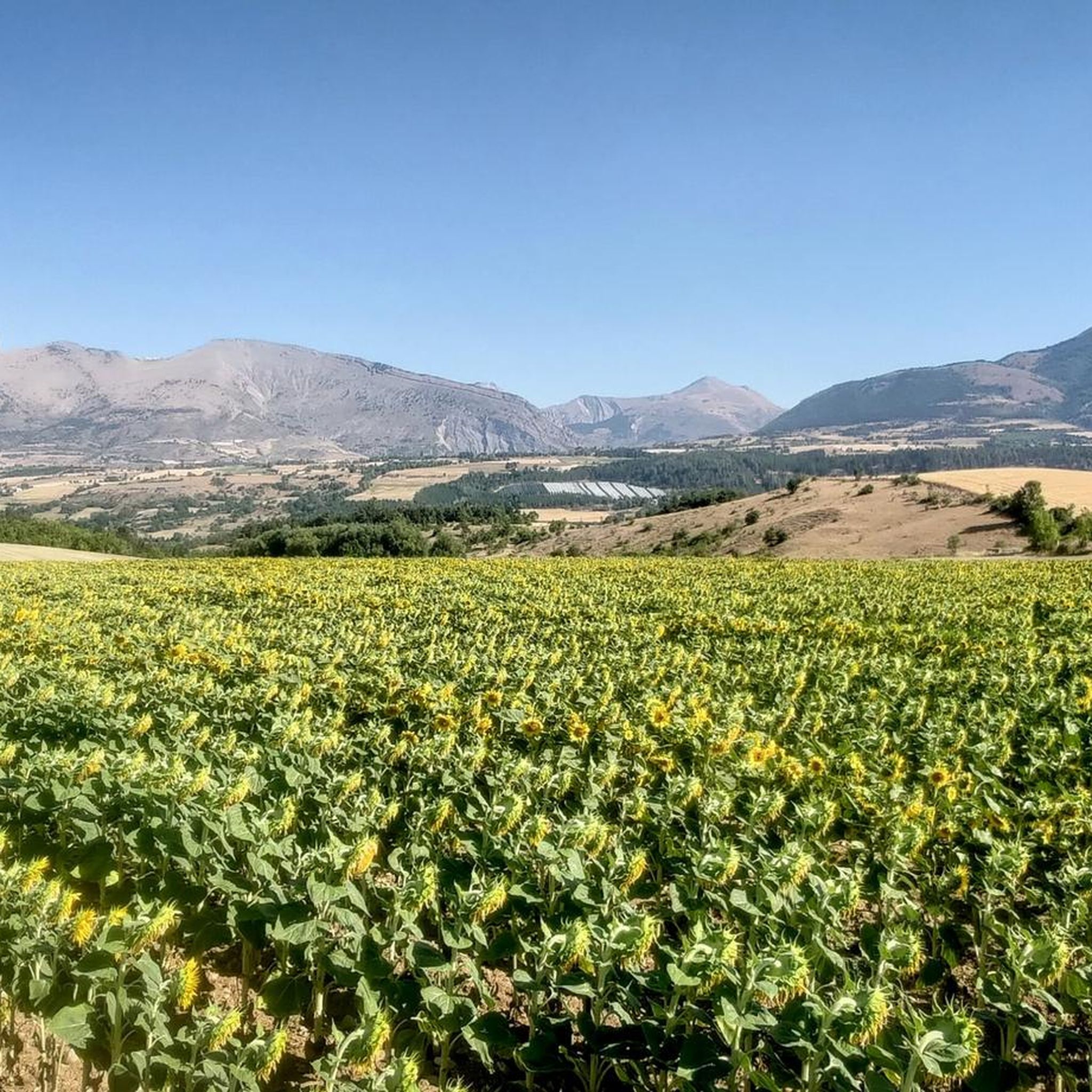
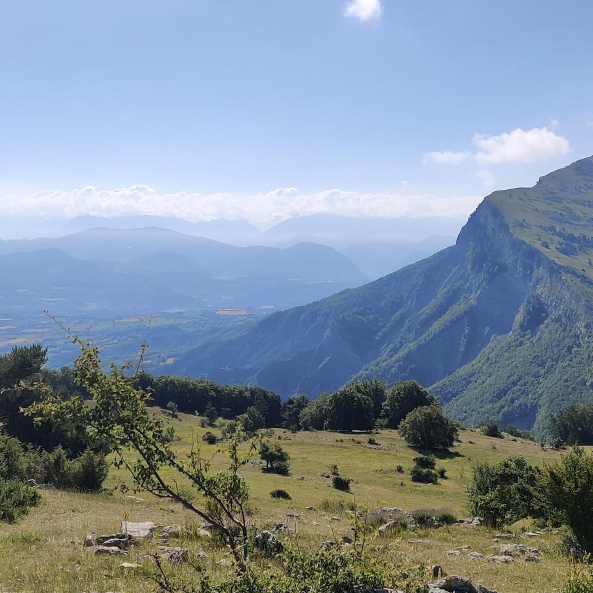

Tips from the Community

Very quiet but (http://rosetoy.cam/) extremely effective.
0
0


visit is of course subject to a fee
1
0

Tallard village is famous for its medieval heritage, particularly the 14th-16th century castle. The streets are narrow and winding and you can really feel the medieval heritage while walking or riding around.
1
0

This path borders the Gap canal. The Gap canal collects water from the Drac in Haut-Champsaur and brings it to the Gapençais basin, where it is mainly used to supply the town of Gap with drinking water. The walk along the water reveals beautiful views of the surrounding landscapes.
0
0

The small streets of the town of Tallard lead to its 10th century castle. Its exceptional condition is a reference for all history and architecture enthusiasts.
1
1

From here we have a superb view of the Bure plateau, a plateau at an altitude of 2,552 m in the Dévoluy massif - site of the NOEMA Interferometer observatory.
0
0
A pretty garden in the Charance estate with roses, a waterfall and beautiful paths.
0
0
Frequently Asked Questions
What is the typical difficulty of mountaineering routes around Manteyer?
The mountaineering routes in Manteyer are generally classified as moderate. They involve significant elevation gains and rugged terrain, characteristic of the French Alps. For example, the Pic de Charance – La Brèche de Charance loop from Gap features over 730 meters of ascent, offering a good workout for experienced hikers.
How long do mountaineering routes in Manteyer usually take to complete?
The duration of mountaineering routes in Manteyer varies depending on the distance and elevation. Most moderate routes, such as the Pic de Céüse loop from Céüze, typically take around 3.5 to 4 hours. Longer routes, like the Écluse d'Oeuf – Pic de Charance loop from Gap, can extend to nearly 5 hours due to their greater distance and elevation.
Are there any family-friendly mountaineering routes in Manteyer?
While many routes involve significant elevation, there are options suitable for families seeking a less strenuous experience. The Tallard Castle loop from Tallard is an easy route with minimal elevation gain, making it a good choice for families. It also offers the opportunity to explore the historic Tallard Castle.
Are there circular mountaineering routes available in Manteyer?
Yes, many of the mountaineering routes around Manteyer are designed as loops, allowing you to start and finish at the same point. Examples include the Pic de Charance – La Brèche de Charance loop from Gap and the Clausonne Abbey loop from Le Saix, providing convenient exploration of the region.
What can I see along the mountaineering routes in Manteyer?
The routes offer diverse scenery, from panoramic mountain vistas to historical sites. You might encounter natural features like the Espréaux Pass or explore cultural landmarks such as Tallard Castle. The region also features charming settlements like Gap and the serene Shores of the Lake, providing varied points of interest.
What is the best time of year for mountaineering in Manteyer?
The French Alps region around Manteyer is generally best for mountaineering from late spring through early autumn (May to October). During these months, the weather is more stable, and trails are typically free of snow, offering optimal conditions for ascents and enjoying the panoramic views.
Are dogs allowed on the mountaineering trails around Manteyer?
Many trails in the French Alps are dog-friendly, especially outside of protected national park areas. However, it's always advisable to check local regulations for specific routes or natural reserves. Ensure your dog is well-behaved, on a leash where required, and that you carry out all waste.
Is parking available near the mountaineering trailheads in Manteyer?
Parking is generally available at or near the starting points of many popular mountaineering routes in the Manteyer region, particularly in towns like Gap or Céüze. It's recommended to check specific route descriptions on komoot for detailed parking information before your trip.
Do I need any special permits for mountaineering in Manteyer?
For general mountaineering routes in the Manteyer area, special permits are typically not required. However, if your route ventures into specific protected natural reserves or private land, it's always wise to verify any local access rules or permit requirements beforehand.
What kind of gear should I bring for mountaineering in Manteyer?
Given the rugged terrain and significant elevation changes, essential gear includes sturdy hiking boots with good ankle support, layered clothing suitable for varying mountain weather, a backpack with water and snacks, sun protection, and a first-aid kit. Trekking poles can also be beneficial for stability on ascents and descents.
What do other mountaineers say about the routes in Manteyer?
The mountaineering routes in Manteyer are highly rated by the komoot community, with an average score of 5.0 stars from over 8 reviews. Reviewers often praise the challenging ascents, varied forest sections, and the rewarding panoramic vistas of the surrounding French Alps.
What are the geological features I might encounter on Manteyer's mountaineering routes?
The Manteyer region, being part of the French Alps, features diverse geological formations. You can expect to traverse rocky slopes, encounter limestone outcrops, and observe the effects of glacial erosion, which have shaped the prominent peaks and valleys, contributing to a distinct mountaineering experience.
Most popular routes around Manteyer
Most popular attractions around Manteyer

Get inspired with the komoot mobile app


Explore more
Browse the best Mountain Hikes & Routes in other regions.
