The best mountain hikes around Saint-Léger-Du-Ventoux
5.0
(3)
26
hikers
3
hikes
Mountaineering around Saint-Léger-Du-Ventoux is centered on the iconic Mont Ventoux, a prominent peak known for its unique barren limestone summit and diverse lower slopes. The region features a mix of challenging ascents and moderate trails, traversing through dense forests of pine and beech, and offering expansive views of the Provence landscape. The terrain transitions from wooded areas to the exposed, rocky upper reaches of Mont Ventoux, providing varied conditions for mountaineers.
Best mountaineering routes around Saint-Léger-Du-Ventoux
- The most popular mountaineering…
Last updated: July 9, 2026
5.0
(1)
11
hikers
13.8km
04:28
590m
590m
Moderate mountaineering route. Good fitness required. Easily-accessible paths. Suitable for all skill levels.
5.0
(1)
10
hikers
15.5km
05:09
750m
750m
Hard mountaineering route. Very good fitness required. Easily-accessible paths. Suitable for all skill levels.

Sign up for free
5.0
(1)
5
hikers
9.22km
03:09
490m
490m
Moderate mountaineering route. Good fitness required. Easily-accessible paths. Suitable for all skill levels.
Our route recommendations are based on thousands of hikes, rides, and runs completed by other people on komoot.
Start today with a free account
Your next adventure awaits.
Login or Signup
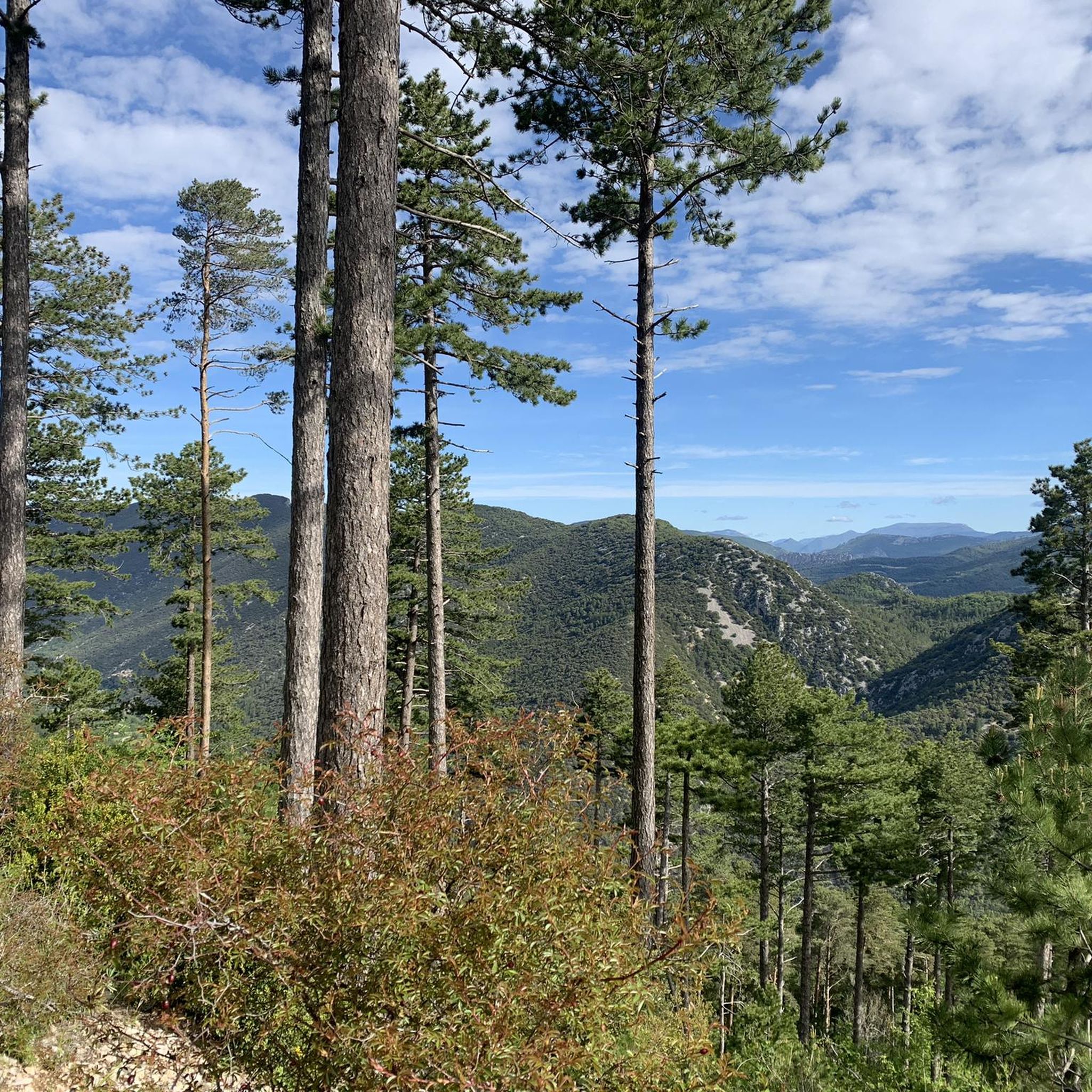
Tips from the Community

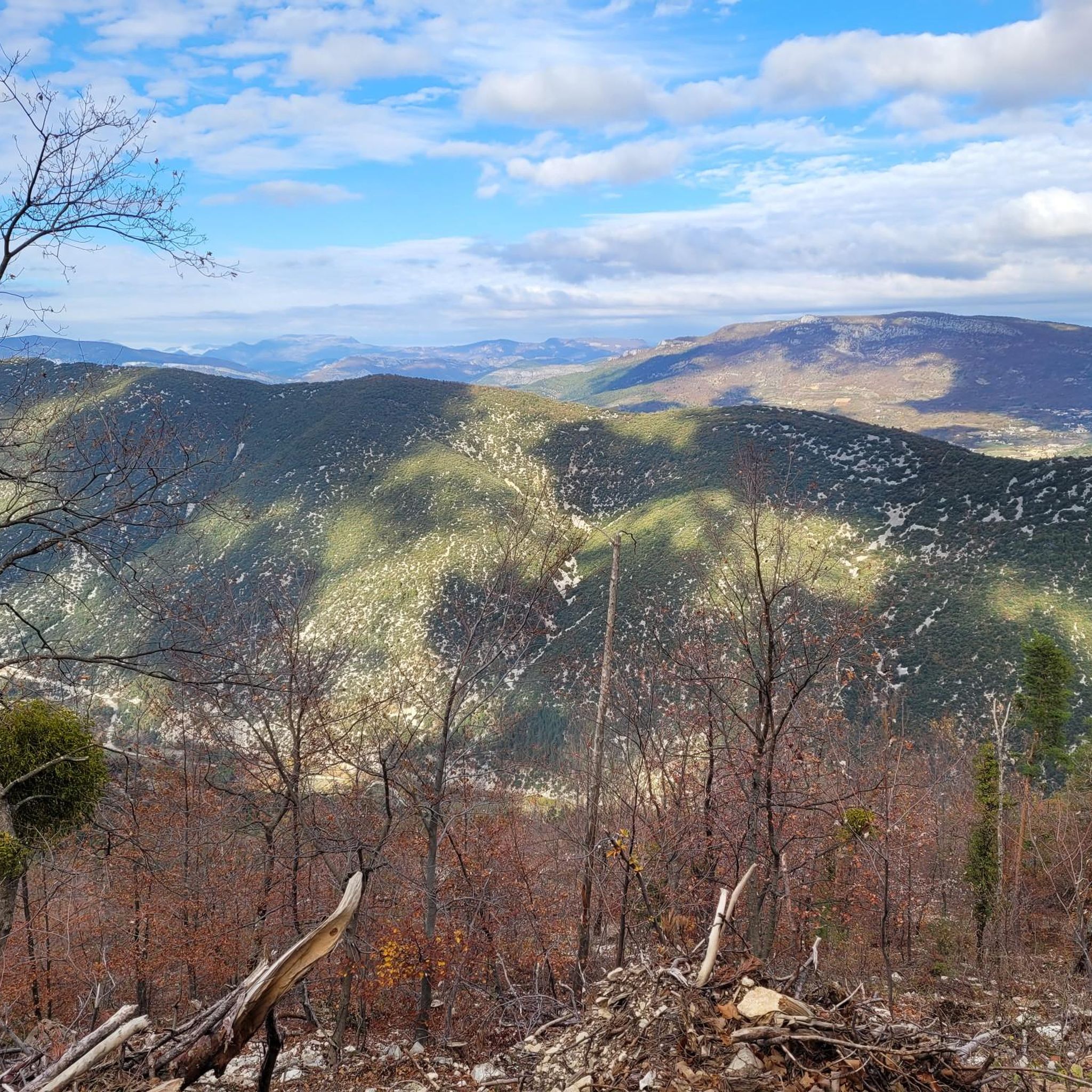
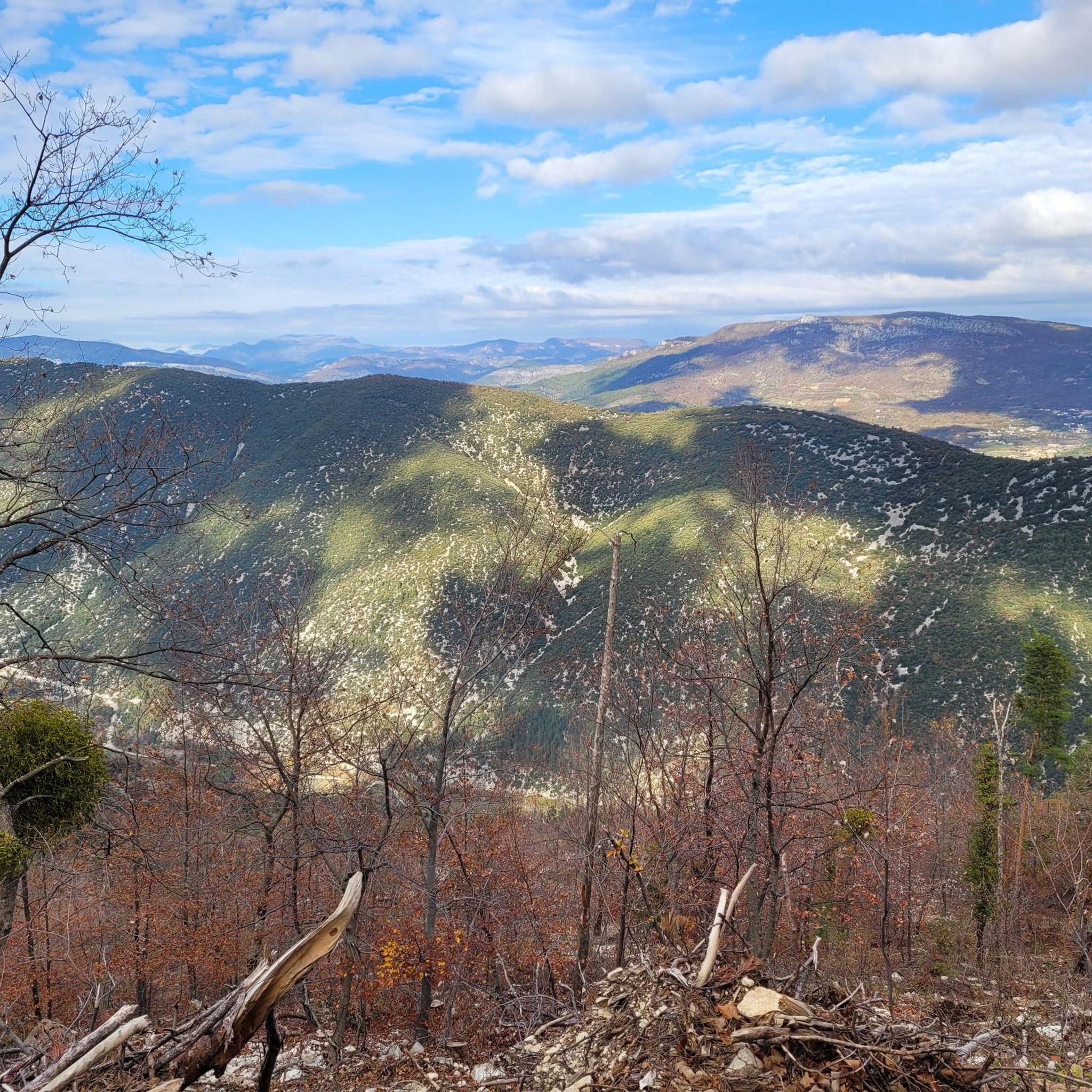
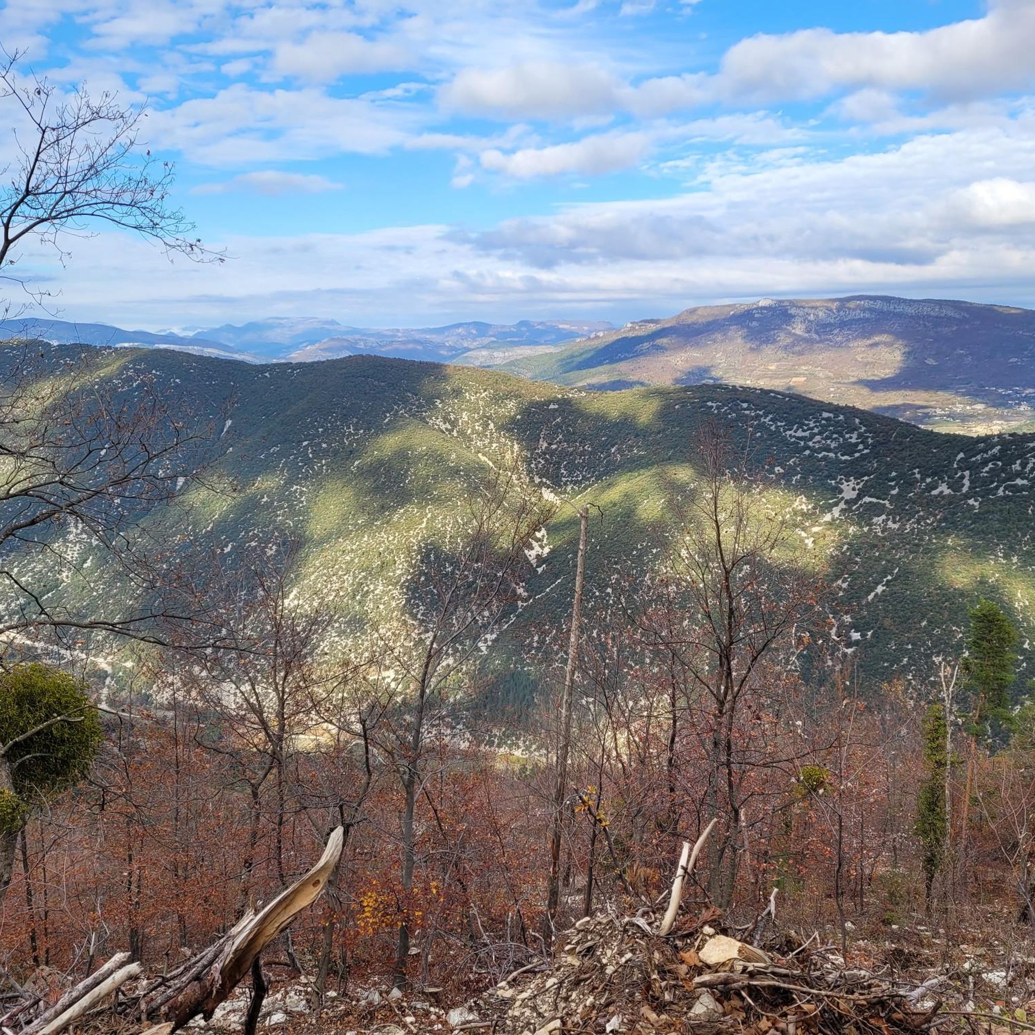
An iconic passage along the ridge, between scree and clearings. Here, you can breathe in the altitude and enjoy a first wide panorama towards the Baronnies and the Lure mountain.
0
0

Beautiful trails, I recommend it, but you need to be in good physical condition 😆🤪💪💪
0
0

The wind can be strong
0
0

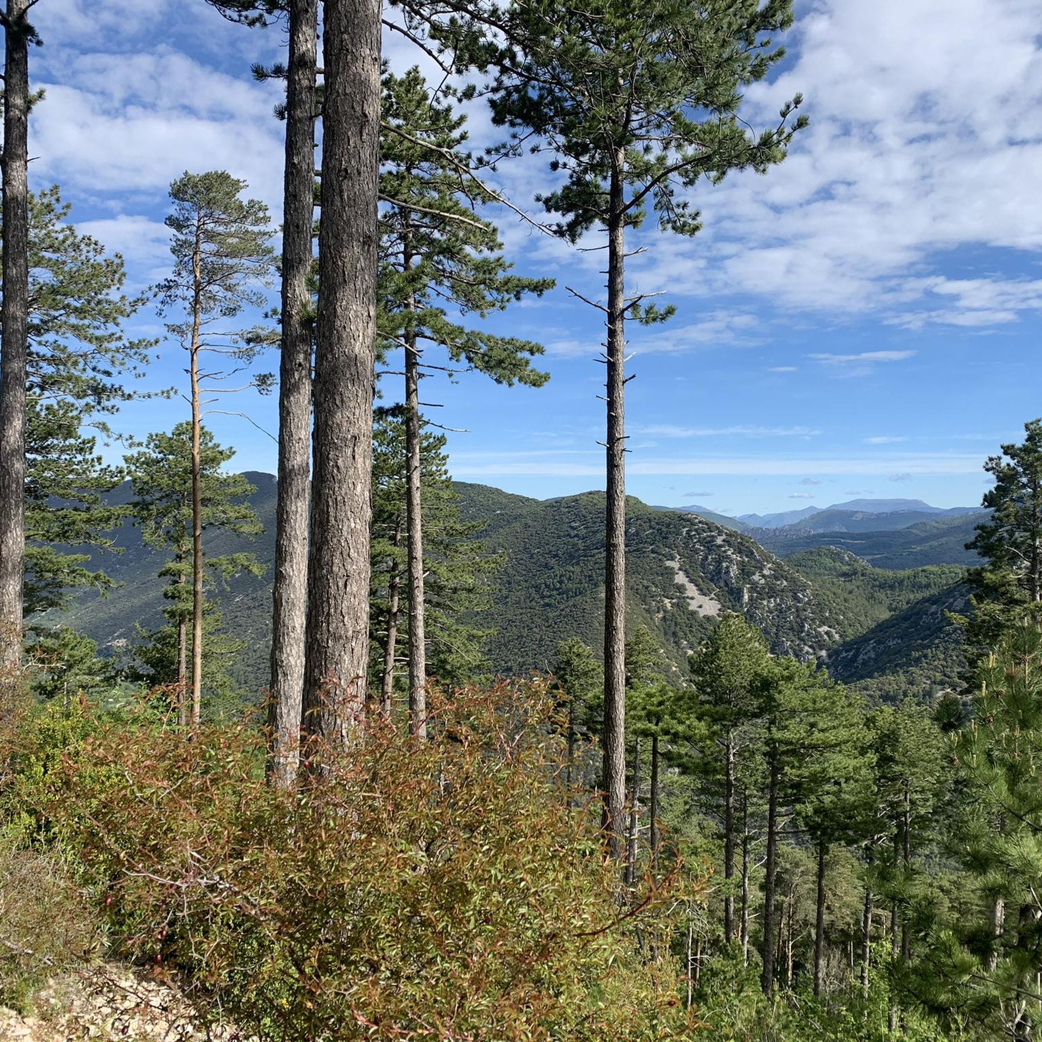
exceptional landscapes along the ridge
0
0

The giant of Provence is incredibly full of character
6
0

This balcony path offers multiple panoramas with magnificent views of the valley but also of the Alps in the distance.
1
0
Frequently Asked Questions
What are the typical difficulty levels for mountaineering routes around Saint-Léger-Du-Ventoux?
Mountaineering routes in this area range from moderate to difficult. The region, centered on Mont Ventoux, offers challenging ascents, particularly towards the summit, but also includes moderate trails through varied terrain. For example, the Pass of Storms – Grand panorama loop from Mont Ventoux is a moderate route, while the Pass of Storms – Grand panorama loop from Chalet Reynard is considered difficult.
Are there any longer mountaineering routes for experienced hikers in the area?
Yes, for those seeking a longer challenge, the Pass of Storms – Grand panorama loop from Chalet Reynard covers approximately 9.6 miles (15.5 km) with significant elevation gain, typically taking over 5 hours to complete. This route offers extensive views and is rated as difficult.
Where can I find parking when starting a mountaineering route on Mont Ventoux?
Parking is generally available at key starting points such as Chalet Reynard or directly from Mont Ventoux village itself. These locations serve as common access points for many of the popular trails leading up the mountain.
Is it possible to access mountaineering trails around Saint-Léger-Du-Ventoux using public transport?
Public transport options directly to the trailheads on Mont Ventoux can be limited. It's often more convenient to reach the area by car, especially for early morning starts or routes that don't loop back to the exact starting point. Some local bus services might connect to nearby villages, but direct access to mountain starting points is less common.
Are there family-friendly mountaineering options around Saint-Léger-Du-Ventoux?
While many routes involve significant elevation, some moderate trails can be suitable for active families with older children. The Summit of Mont Ventoux loop from Mont Ventoux, at 5.9 miles (9.5 km), is a moderate option that provides a rewarding experience without being overly strenuous for those accustomed to hiking.
What is the best time of year for mountaineering around Saint-Léger-Du-Ventoux?
The best time for mountaineering is typically from late spring to early autumn (May to October). During these months, the weather is generally more stable, and the higher elevations are free of snow. Summer can be very hot, so early morning starts are recommended. Winter mountaineering is possible but requires appropriate gear and experience due to snow and ice conditions on the upper slopes.
What should I wear for climbing Mont Ventoux in summer?
Even in summer, conditions on Mont Ventoux can change rapidly. It's advisable to wear layers, including a moisture-wicking base layer, a mid-layer for warmth, and a windproof/waterproof outer shell. A hat, sunglasses, and plenty of water are essential due to the exposed nature of the summit. Sturdy hiking boots are also a must.
Are there any cafes or pubs near the climbing routes on Mont Ventoux?
Yes, Chalet Reynard, a well-known landmark on the ascent of Mont Ventoux, offers a restaurant and cafe where you can refuel. There are also facilities at the summit during peak season. In the villages surrounding Mont Ventoux, such as Saint-Léger-Du-Ventoux itself, you'll find local establishments.
What are some of the best viewpoints along the mountaineering routes?
The summit of Mont Ventoux itself offers unparalleled 360-degree panoramic views of Provence, the Southern Alps, and even the Mediterranean on clear days. Routes like the Pass of Storms – Grand panorama loop from Mont Ventoux are specifically named for their extensive vistas across the surrounding valleys and the iconic 'moonscape' of the upper mountain.
Are there any less crowded climbing trails in the Mont Ventoux area?
While the main routes to the summit can be popular, especially on weekends, exploring some of the less direct paths or starting from different villages might offer a quieter experience. The Mountaineering loop from Mont Ventoux, for instance, provides a varied experience away from the most frequented sections, allowing for a more serene journey through the forested lower slopes.
What geological features can I expect to see while mountaineering here?
The most striking geological feature is the distinctive barren limestone summit of Mont Ventoux, often referred to as the 'Giant of Provence.' As you ascend, you'll traverse through diverse terrain, from the wooded areas of pine and beech on the lower slopes to the exposed, rocky, and almost lunar landscape of the upper reaches. You might also encounter unique formations like the Bédoin Fairy Chimneys in the wider region.
Are there any circular mountaineering trails around Saint-Léger-Du-Ventoux?
Yes, several routes are designed as loops, allowing you to start and end at the same point. Examples include the Pass of Storms – Grand panorama loop from Mont Ventoux, the Summit of Mont Ventoux loop from Mont Ventoux, and the Mountaineering loop from Mont Ventoux. These circular routes are convenient for day trips.
What can I see along the mountaineering routes besides the summit?
Beyond the iconic Mont Ventoux summit, the routes offer diverse scenery. You'll pass through dense forests, enjoy expansive views of the Provence landscape, and encounter various natural landmarks. The region also features other peaks like Mont Serein and Montagne de Vic, and natural monuments such as the Entrance to the Toulourenc Gorges.
How many mountaineering routes are available around Saint-Léger-Du-Ventoux?
There are several dedicated mountaineering routes around Saint-Léger-Du-Ventoux, with at least four distinct tours highlighted in this guide. These routes offer a range of experiences, from moderate climbs to more difficult ascents, all centered around the majestic Mont Ventoux.
What do other mountaineers enjoy the most about mountaineering in Saint-Léger-Du-Ventoux?
The area is highly rated by the komoot community, with an average score of 4.8 stars from over 7 reviews. Reviewers often praise the unique challenge of Mont Ventoux, the stunning panoramic views from the summit, and the varied terrain that transitions from lush forests to the iconic barren limestone landscape.
Most popular routes around Saint-Léger-Du-Ventoux
Most popular attractions around Saint-Léger-Du-Ventoux

Get inspired with the komoot mobile app


Explore more
Browse the best Mountain Hikes & Routes in other regions.
