The best gravel rides around Argelita
300
riders
8
rides
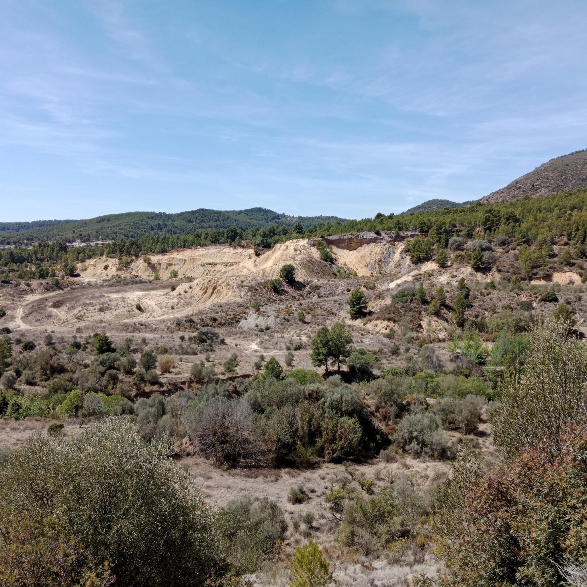
Gravel biking around Argelita offers diverse terrain within the mountainous Alto Mijares region of Castellón, Spain. The area is characterized by high mountains, deep valleys, and the presence of the Villahermosa River, providing varied routes with ascents and descents. Riders can expect a landscape featuring irrigated orchards, forests, and a network of trails suitable for gravel exploration. This topography creates an engaging experience for cyclists seeking natural beauty and challenging paths.
Best gravel bike trails around Argelita
- The most popular…
Last updated: May 28, 2026
219
riders
87.3km
08:27
2,460m
2,450m
Hard gravel ride. Very good fitness required. Mostly paved surfaces. Suitable for all skill levels.
26
riders
55.4km
05:16
1,400m
1,400m
Hard gravel ride. Very good fitness required. Mostly paved surfaces. Suitable for all skill levels.

Sign up for free
32
riders
26.2km
02:16
670m
670m
Hard gravel ride. Very good fitness required. Mostly paved surfaces. Suitable for all skill levels.
9
riders
41.1km
03:53
1,050m
1,050m
Hard gravel ride. Very good fitness required. Mostly paved surfaces. Suitable for all skill levels.
11
riders
27.0km
02:23
670m
670m
Hard gravel ride. Very good fitness required. Mostly paved surfaces. Suitable for all skill levels.
Get access to more routes and recommendations from other explorers.
Sign up for free
Already have an account?
Our route recommendations are based on thousands of hikes, rides, and runs completed by other people on komoot.
Start today with a free account
Your next adventure awaits.
Login or Signup
Tips from the Community

More than a castle, it looks like a hermitage. It is located on a hill and therefore has wonderful views of Alto Maestrazgo.
0
0
At this point, a path leads to Mas de la Foixenta. If we continue along it, it will take us to Mas de la Parra.
0
0
Old farmhouse. It is striking how big it is, it looks like a village or town.
0
0
Here begins the tough and legendary climb to Mas de la Costa.
0
0
Tough climb to Coll des Coronetes from the Lucena River as it passes through Figueroles. The climb, despite being very hard, is on a path without technical difficulty. On the way up we will pass several abandoned farmhouses.
0
0
At this point on the road you have incredible views of Lucena. It is essential to stop and admire the landscape and the town.
0
0
Masía de la Parra is an old farmhouse on top of a ravine in Lucena del Cid, Castellón. Masía de la Parra is located near the village of Figueroles, as well as the town of Lucena del Cid. It has a distance of 5.3 km, Elevation difference 363 m, Average % 6.6%
0
0

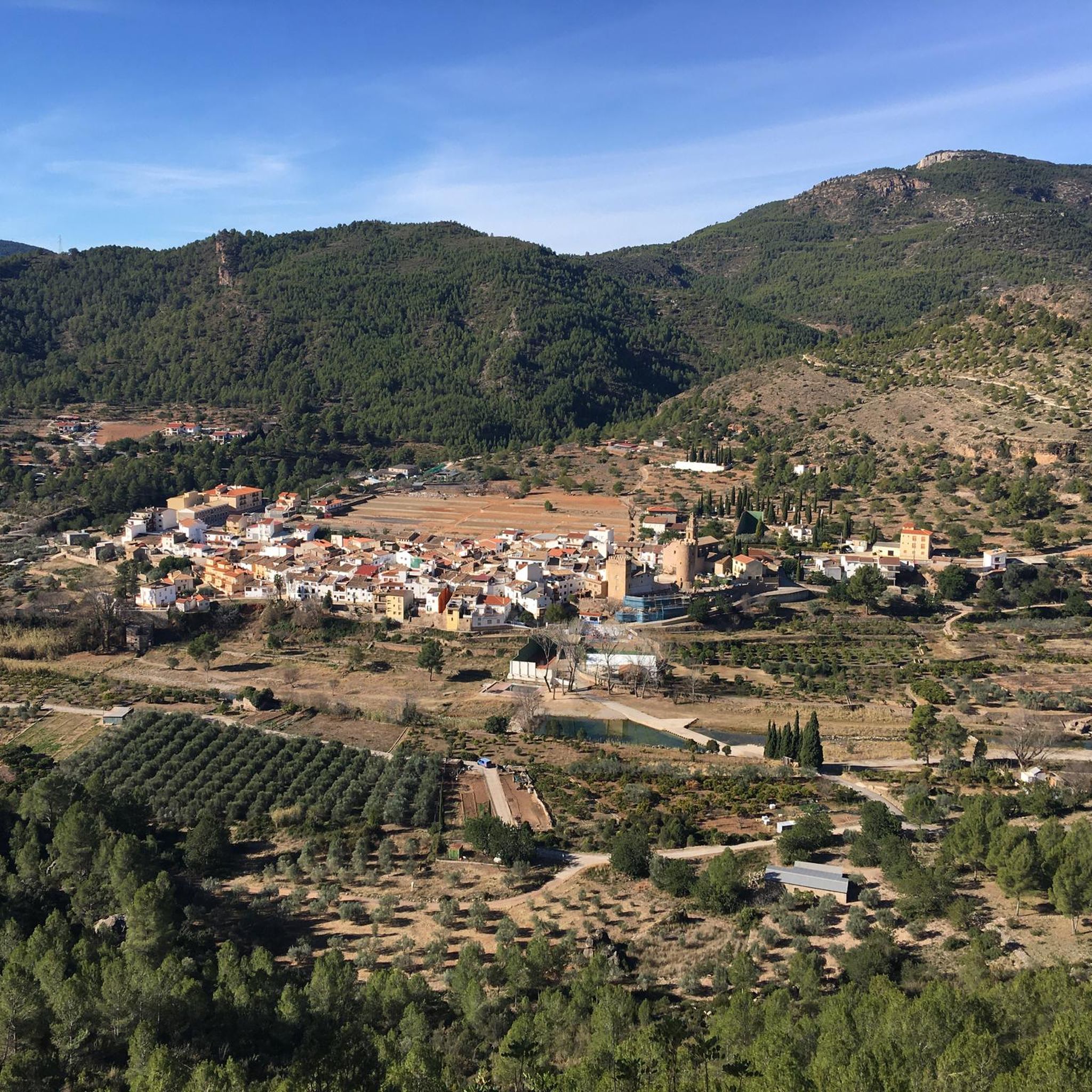
Municipality of the Alto Maestrazgo region, in the province of Castellón (Valencian Community). The place name comes from Arabic, and refers to the Berber tribe of the Zenatas. The abundant archaeological remains of the place explain its long history, from Iberian ceramics to the Arab castle and medieval walls. The remains of the medieval walls and the castle of Adzaneta, or the Torre de la Presó, form part of its cultural heritage. The current town hall, formerly a hospital and Palace of the Commander of the Setena Culla during the 16th century, is also a historic building.
0
0
Frequently Asked Questions
What is the general difficulty level of gravel biking routes around Argelita?
The gravel biking routes around Argelita primarily cater to experienced riders, with 5 out of 6 available tours rated as difficult. There is one moderate route, the Views of Lucena – Venta Molló loop from Llucena, which offers a shorter option for those seeking a less strenuous ride.
Are there any family-friendly gravel biking options near Argelita?
While most routes around Argelita are rated difficult due to the mountainous terrain and significant elevation changes, the Views of Lucena – Venta Molló loop from Llucena is a moderate 13.3 km (8.3 miles) option that could be suitable for families with older, more experienced children. It offers varied scenery without the extreme demands of the longer, more challenging tours.
What kind of landscapes can I expect to see on a gravel bike ride in Argelita?
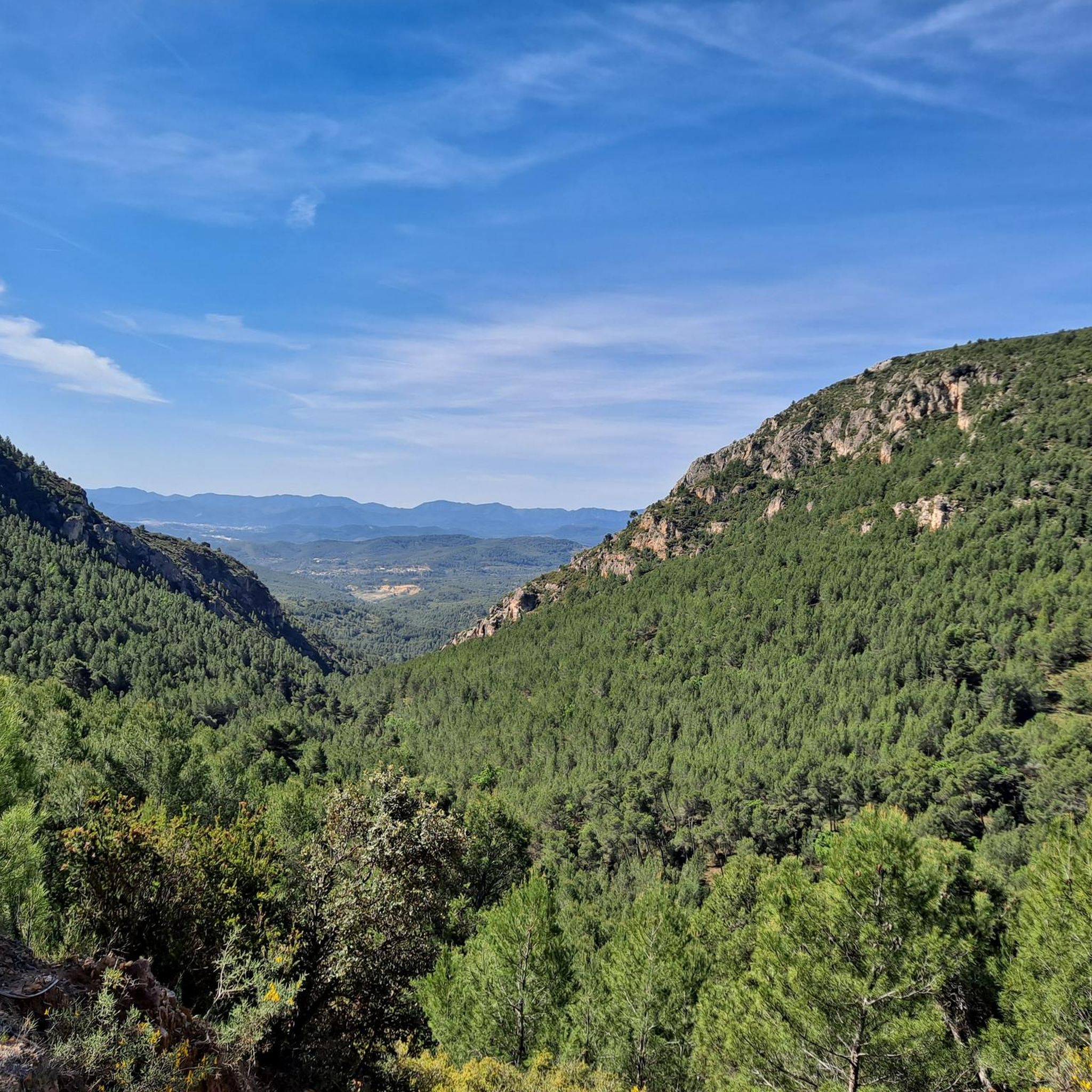
Gravel biking in Argelita offers a diverse range of landscapes. You'll traverse mountainous terrain with significant ascents and descents, deep valleys, and follow the course of the Villahermosa River. The scenery includes lush vegetation, irrigated orchards, and forests, providing a rich natural experience.
Are there any circular gravel bike routes available?
Yes, all the gravel biking routes listed for Argelita are circular loops. For example, you can explore the challenging Font de la Parra – Coll de les Coronetes loop from Llucena or the more moderate Views of Lucena – Venta Molló loop from Llucena, both designed as loops for convenient exploration.
What are some interesting places to explore or landmarks to see along the gravel trails?
Beyond the natural beauty, you can discover several points of interest. Consider visiting the Fanzara Street Art Murals in the nearby village of Fanzara, or challenging yourself with the Peña Saganta Summit. The region also features natural highlights like the Pozo Negro de Torrechiva and the Source of the Lucena River.
Are there any natural swimming spots or rivers along the routes?
Yes, the Villahermosa River is a prominent feature of the Argelita landscape. Its passage creates natural pools with cold, clear waters, which are particularly inviting during warmer months. While specific wild swimming spots aren't marked on every route, the river's presence offers opportunities for refreshing stops.
What do other gravel bikers say about the routes in Argelita?
The gravel biking routes around Argelita are highly rated by the komoot community, with an average score of 4.0 stars from over 9 reviews. Riders often praise the challenging mountainous terrain, the scenic beauty of the Villahermosa River valley, and the diverse vegetation, making for an engaging outdoor experience.
What is the best time of year for gravel biking in Argelita?
The region's climate, characterized by its mountainous terrain and Mediterranean influence, generally makes spring and autumn ideal for gravel biking. These seasons offer pleasant temperatures and stable weather conditions. Summer can be warm, but the natural pools of the Villahermosa River provide refreshing breaks. Winters are generally mild but can have cooler temperatures at higher elevations.
How long do the gravel bike routes typically take to complete?
The duration of routes varies significantly based on their length and difficulty. For instance, the challenging Font de la Parra – Coll de les Coronetes loop from Llucena, at 87.3 km (54.2 miles), typically takes around 9 hours and 46 minutes. Shorter, moderate routes like the Views of Lucena – Venta Molló loop from Llucena (13.3 km / 8.3 miles) can be completed in about 1 hour and 5 minutes.
Are there any routes that offer significant elevation gains for advanced riders?
Absolutely. Argelita is situated in a mountainous region, and many routes feature substantial elevation gains. For advanced riders seeking a challenge, the Puertomingalvo – Puertomingalvo Pass loop from Llucena covers 85.9 km (53.4 miles) with over 2,000 meters of ascent, offering a demanding ride through high mountain passes.
Can I find cafes or places to stop for refreshments along the gravel bike trails?
While specific cafes directly on the trails are not detailed, Argelita and its nearby charming villages like Ludiente, Toga, and Fanzara offer opportunities for refreshments. Planning your route to pass through these villages can provide convenient stops for food and drink.
What are the best routes for experiencing the Villahermosa River?
Many routes in the region will bring you close to the Villahermosa River, as it's a central natural feature. While not explicitly named 'river routes', the general topography of Argelita, nestled in the river's valley, ensures that you'll encounter its picturesque scenery and natural pools on various rides, such as the Views of Lucena – Mas de la Parra loop from Llucena.
Most popular attractions around Argelita

Get inspired with the komoot mobile app


Explore more
Browse the best Gravel rides in other regions.
