Top 4 Mountain Hiking Trails around Ambivere
19
hikers
3
hikes
Mountaineering routes around Ambivere are situated at the foot of the Bergamo Pre-Alps, a substantial mountain range featuring diverse topography. This region is characterized by a mix of forests, verdant valleys, and expansive alpine meadows, with prominent peaks like Pizzo di Coca reaching over 3,000 meters. The area is part of the larger Bergamasque Alps and Prealps, offering extensive natural landscapes for outdoor activities.
Best mountaineering routes around Ambivere
- The most popular mountaineering route is Monte Linzone loop from Roncola…
Last updated: August 18, 2026
10
hikers
6.28km
02:41
510m
510m
Hard mountaineering route. Good fitness required. Sure-footedness, sturdy shoes and alpine experience required.
6
hikers
16.0km
06:08
1,070m
1,070m
Hard mountaineering route. Very good fitness required. Sure-footedness, sturdy shoes and alpine experience required.

Sign up for free
3
hikers
14.6km
05:43
830m
830m
Hard mountaineering route. Very good fitness required. Sure-footedness, sturdy shoes and alpine experience required.
Our route recommendations are based on thousands of hikes, rides, and runs completed by other people on komoot.
Start today with a free account
Your next adventure awaits.
Login or Signup
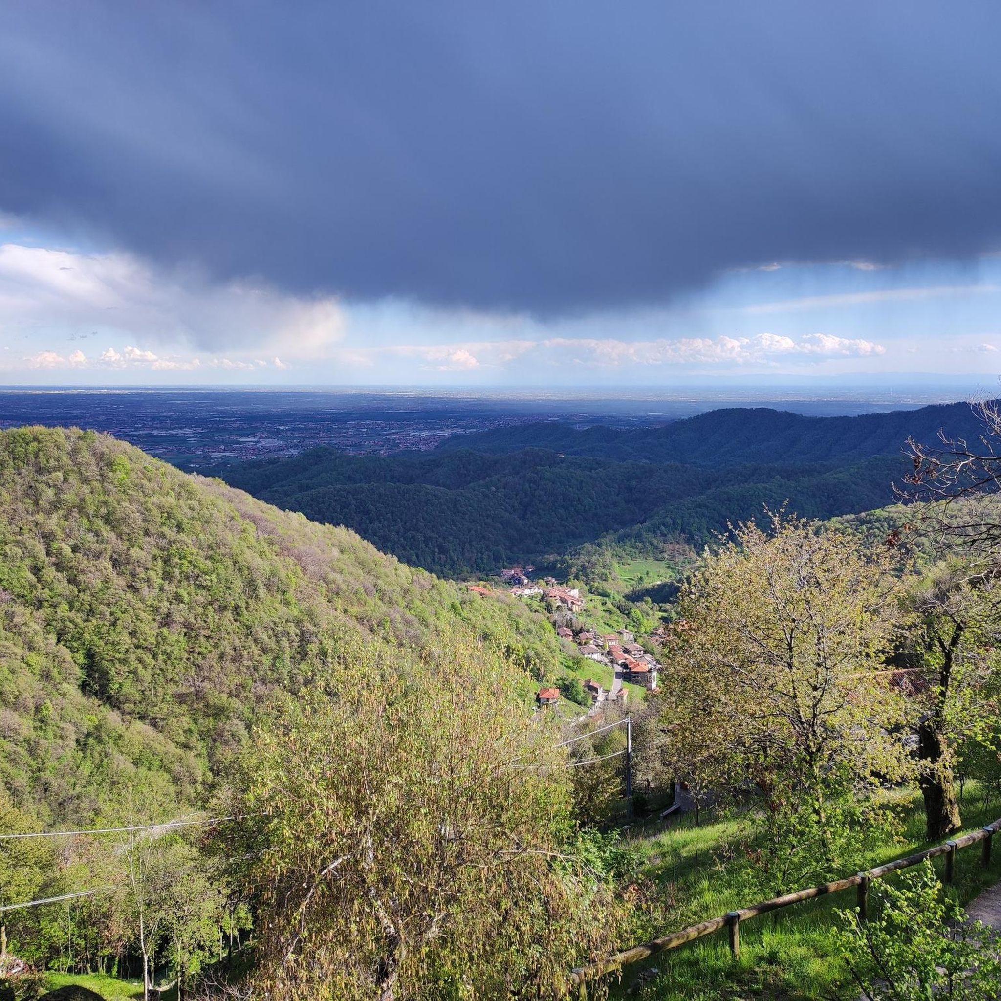
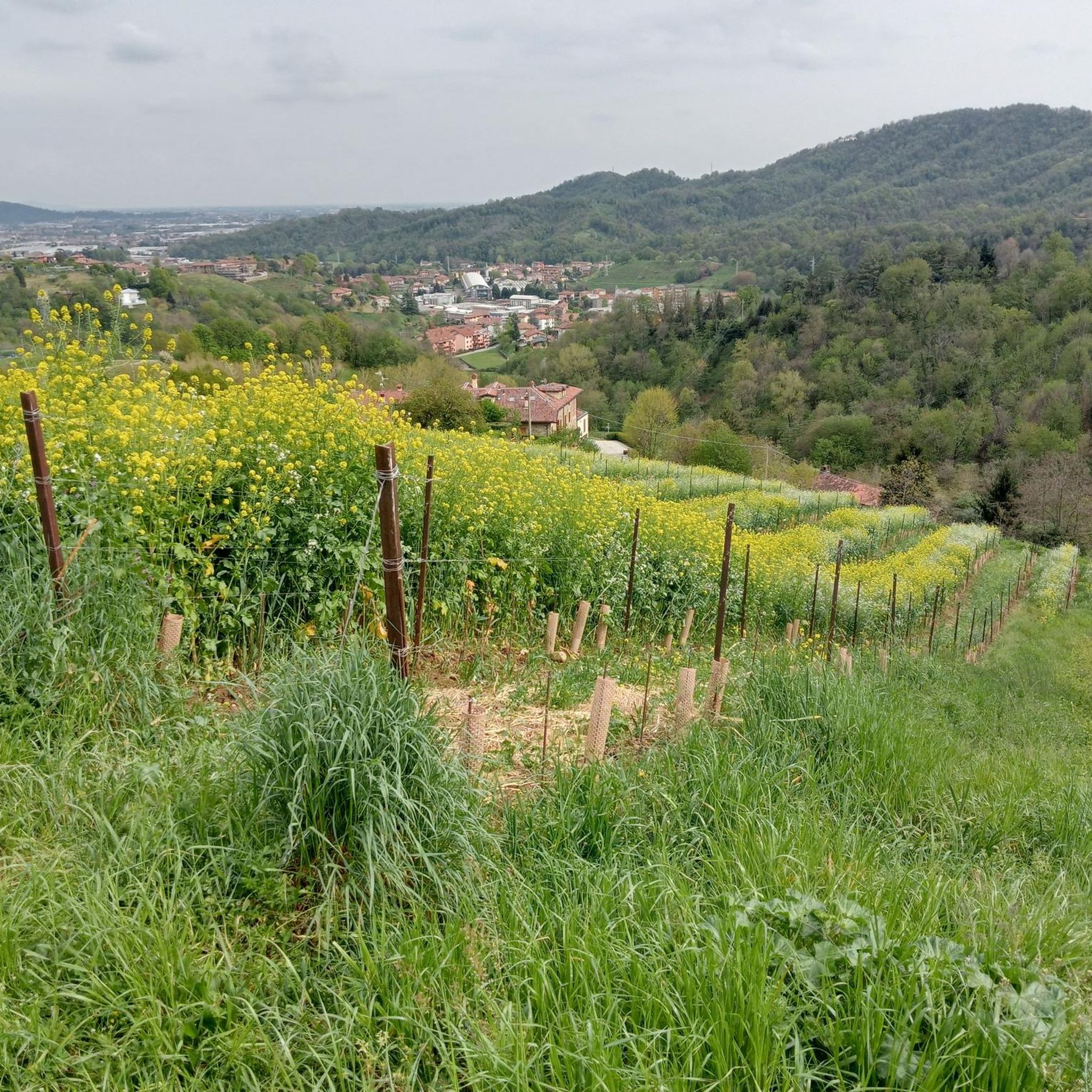
Other adventures around Ambivere

Tips from the Community

from the summit of Linzone 360° view
0
1
connecting path from the Valcava pass to the summit of Mount Linzone. Alternates between meadow and undergrowth sections, with rocky and steep parts.
0
1

Stunning view of both the Imagna Valley and the Lecco area
0
0

sanctuary church of Nazareth, from here take the path with yellow and blue markings
0
1

The most interesting thing about word games may be that they make people want to learn more about language and find new things. https://wordgames.gg
0
0

summit with 360-degree view
0
0
The summit of Monte Tesoro offers a fantastic view of Lecco, Milan, and Lake Como. The summit is easily reached by parking at the Pertus lake.
0
0
Frequently Asked Questions
How many mountaineering routes are available around Ambivere?
This guide features 4 challenging mountaineering routes around Ambivere, all offering significant ascents within the diverse landscapes of the Bergamo Pre-Alps.
Are there any easy mountaineering routes for beginners near Ambivere?
The routes highlighted in this guide are all classified as difficult, involving substantial elevation gain and challenging terrain. For those seeking a less strenuous outdoor experience, the region also offers extensive hiking and trekking trails that cater to various levels, though specific easy mountaineering routes are not featured here.
What kind of terrain can I expect on mountaineering routes around Ambivere?
Mountaineering routes around Ambivere traverse a diverse topography, including forests, verdant valleys, and expansive alpine meadows. You can expect challenging ascents and varied terrain typical of the Bergamo Pre-Alps.
Are there any circular mountaineering routes in the Ambivere area?
Yes, all the mountaineering routes featured in this guide are circular. For example, you can explore the Monte Linzone loop from Roncola, which offers a challenging ascent and takes approximately 2 hours 36 minutes to complete.
What are some notable natural attractions I might encounter on these routes?
The region is rich in natural beauty. While on your mountaineering routes, you'll be immersed in the Bergamo Pre-Alps, with prominent peaks like Pizzo di Coca and Grigna in the broader area. The Valleys of Brembana, Seriana, Imagna, and Taleggio also offer scenic views. Further afield, you might find majestic features like the Serio Waterfalls or the Barbellino Reservoir.
How long do mountaineering routes around Ambivere typically take?
The duration of routes varies depending on their length and difficulty. For instance, the Canto Alto – Pisgiù loop from Sorisole is a difficult 6.2-mile (10.0 km) path that typically takes around 4 hours 30 minutes. Longer routes, like the Monte Linzone loop from Almenno San Salvatore, can take over 6 hours.
Are there any interesting landmarks or viewpoints near the mountaineering trails?
Yes, the area offers several points of interest. You can find stunning vistas such as the View from Montemarenzo. The historic Sanctuary of the Madonna del Castello in Ambivere also offers scenic views from its elevated position. Mountain huts (Rifugi) are also scattered throughout the Orobie Alps, providing essential resting points and bases.
What is the best season for mountaineering in the Ambivere region?
The Bergamo Pre-Alps offer diverse experiences throughout the year. While winter allows for ski mountaineering, the warmer months from late spring to early autumn are generally ideal for mountaineering and hiking, when trails are clear of snow and weather conditions are more stable. Always check local weather forecasts before heading out.
Are the mountaineering routes around Ambivere suitable for families?
The mountaineering routes detailed in this guide are all rated as difficult, making them more suitable for experienced mountaineers rather than young children or families seeking a leisurely outing. For family-friendly outdoor activities, the nearby Selvino Adventure Park offers dynamic experiences like suspension bridges and ziplines.
Can I bring my dog on the mountaineering trails near Ambivere?
Generally, dogs are welcome on many mountain trails in the Bergamo Pre-Alps, provided they are kept on a leash and you adhere to local regulations, especially within protected areas like the Parco delle Orobie Bergamasche. Always ensure your dog is fit for the challenging terrain and carry enough water for both of you.
What should I pack for a mountaineering trip in this region?
Given the difficult nature of these routes and the varied mountain terrain, it's essential to pack appropriate gear. This includes sturdy hiking boots, layered clothing suitable for changing weather conditions, rain gear, sufficient water and snacks, a map and compass or GPS device, a first-aid kit, and sun protection. Trekking poles can also be beneficial for ascents and descents.
Are there options for less crowded mountaineering experiences around Ambivere?
While the routes in this guide are popular, the vast network of trails in the Bergamo Pre-Alps and the larger Parco delle Orobie Bergamasche offers many opportunities to find quieter paths. Exploring routes during off-peak hours or seasons, or venturing into less-frequented valleys, can provide a more solitary experience.
Most popular routes around Ambivere
Most popular attractions around Ambivere

Get inspired with the komoot mobile app


Explore more
Browse the best Mountain Hikes & Routes in other regions.
