The best mountain hikes around Saint-Pierre
5.0
(1)
37
hikers
5
hikes
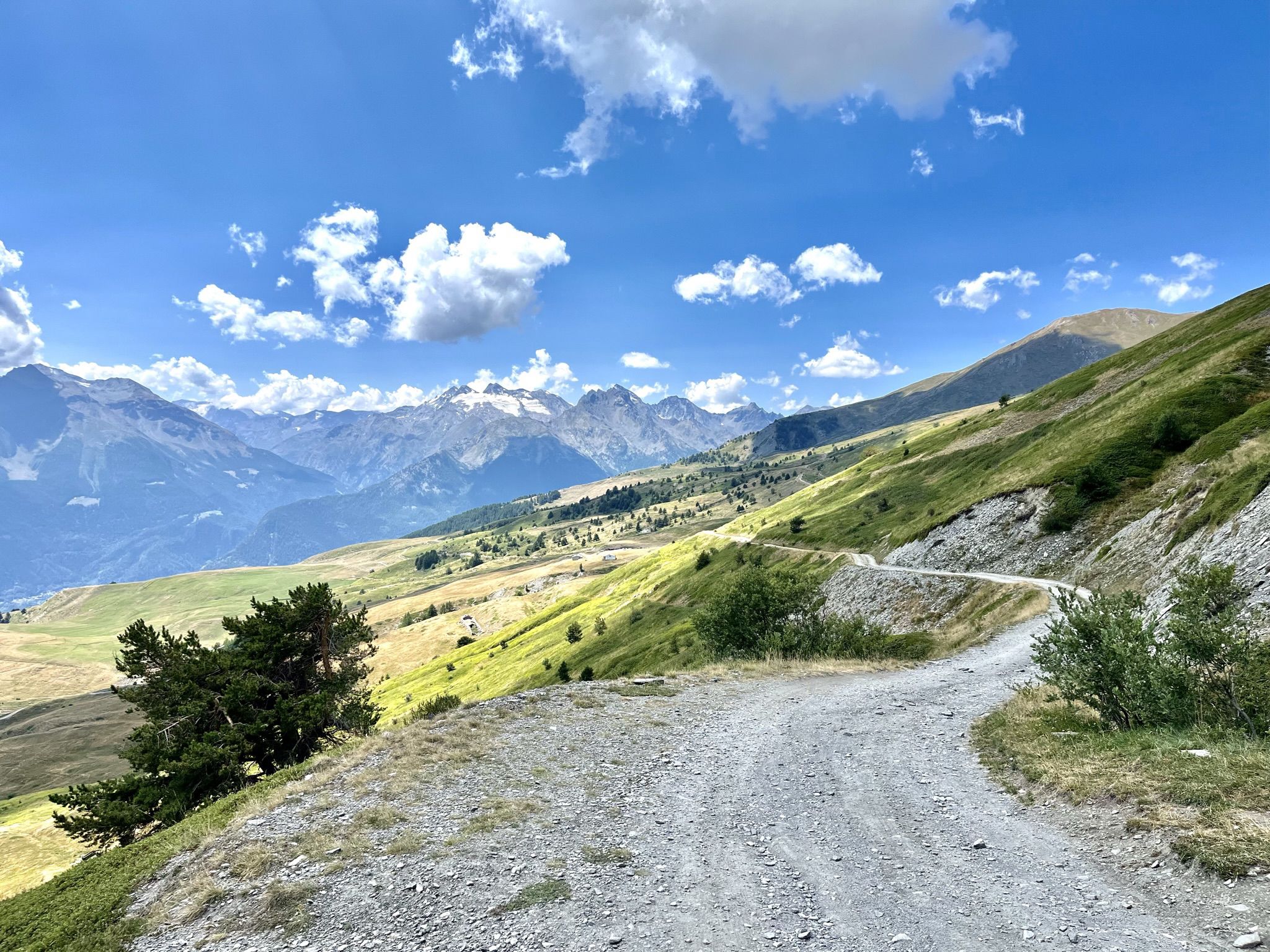
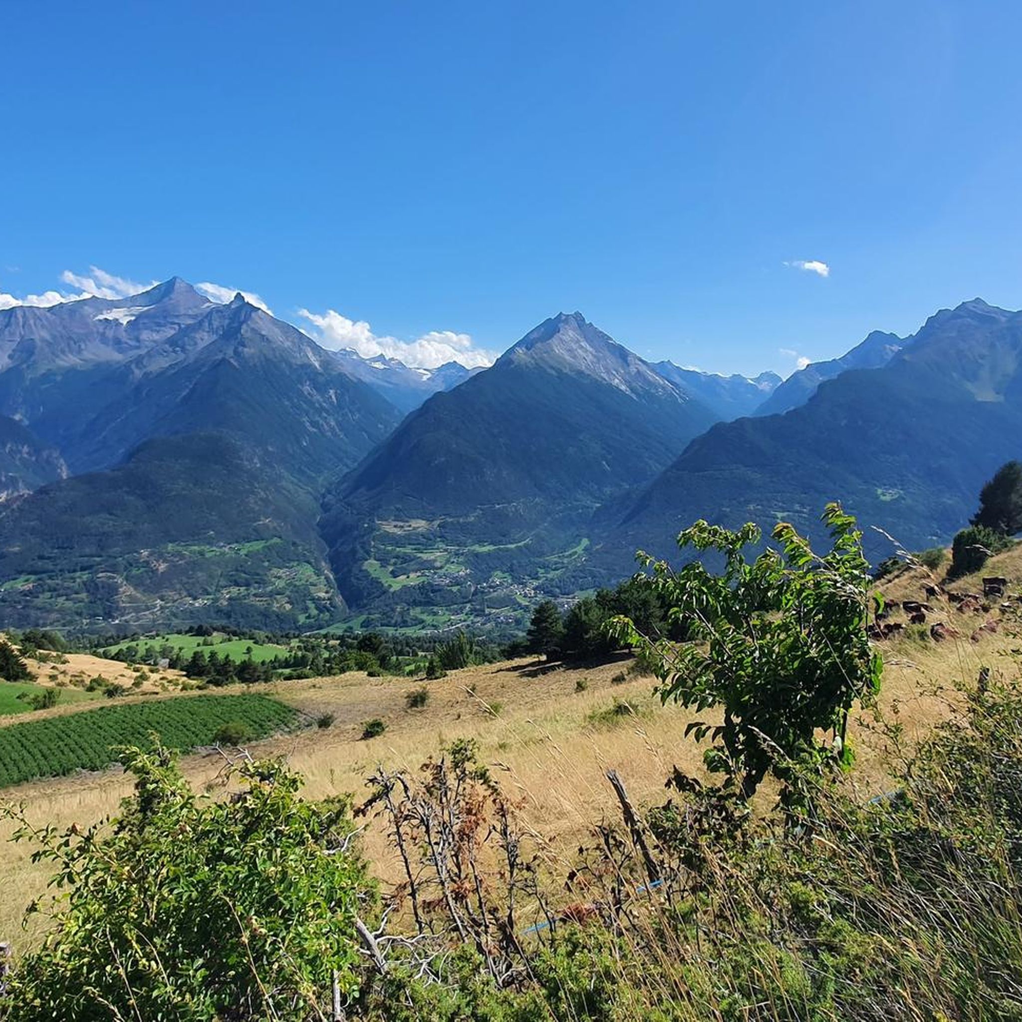
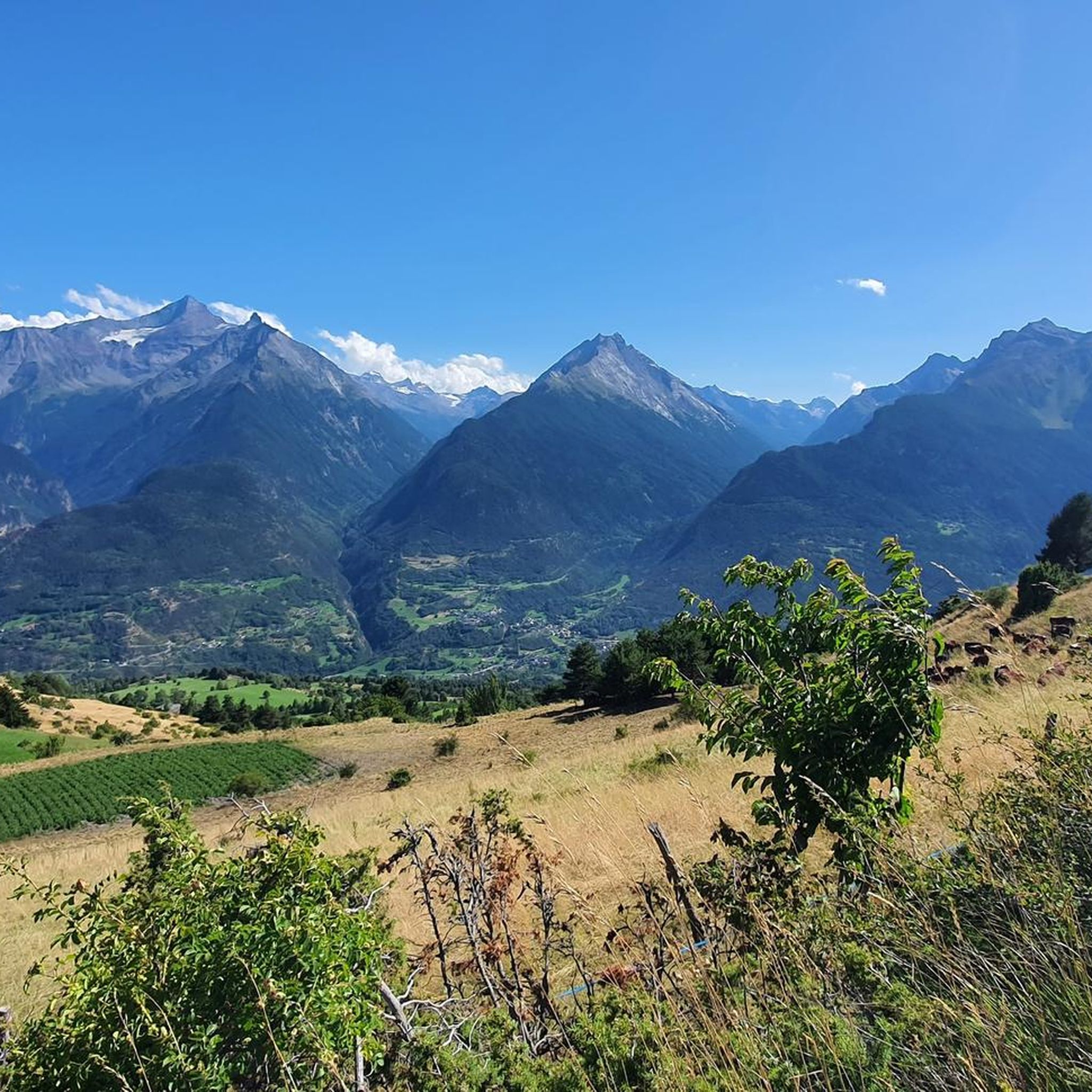
Mountaineering routes around Saint-Pierre are situated in the Aosta Valley, a region characterized by its dramatic Alpine landscape. This area features high mountain passes, deep valleys, and a mix of rocky terrain, forests, and alpine meadows. The elevation changes are significant, offering challenging ascents and panoramic views of the surrounding peaks.
Best mountaineering routes around Saint-Pierre
- The most popular mountaineering route is Fenêtre de Sereina loop from Saint-Rhémy, a 7.0 miles (11.3 km) trail that takes 5 hours 25 minutes to complete. This difficult route features substantial elevation gain through high mountain terrain.
- Another top favourite among local mountaineers is Pointe de la Pierre loop from Pont D'Aël, a difficult 8.7 miles (14.1 km) path. This route offers sustained climbing through varied alpine landscapes.
- Local mountaineers also love the Punta della Valletta (3,090 m) – Lago di Chamolé loop from Pila, a 5.5 miles (8.9 km) trail leading through high mountain passes and past alpine lakes, often completed in about 5 hours 25 minutes.
- Mountaineering around Saint-Pierre is defined by challenging ascents, high mountain passes, and alpine lakes. The network offers options for experienced mountaineers seeking difficult, high-elevation trails.
- The routes in Saint-Pierre are highly rated by the komoot community with an average score of 4.8 stars from over 11 reviews. More than 90 mountaineers have used komoot to explore Saint-Pierre's varied terrain.
Last updated: July 8, 2026
5.0
(1)
12
hikers
8.87km
05:25
800m
800m
Hard mountaineering route. Very good fitness required. Sure-footedness, sturdy shoes and alpine experience required.
13
hikers
16.4km
08:09
1,270m
1,260m
Hard mountaineering route. Very good fitness required. Sure-footedness, sturdy shoes and alpine experience required.

Sign up for free
5
hikers
12.9km
07:55
1,350m
1,350m
Hard mountaineering route. Very good fitness required. Sure-footedness, sturdy shoes and alpine experience required.
4
hikers
12.8km
06:32
990m
980m
Hard mountaineering route. Very good fitness required. Sure-footedness, sturdy shoes and alpine experience required.
3
hikers
12.5km
05:49
890m
890m
Hard mountaineering route. Very good fitness required. Sure-footedness, sturdy shoes and alpine experience required.
Our route recommendations are based on thousands of hikes, rides, and runs completed by other people on komoot.
Start today with a free account
Your next adventure awaits.
Login or Signup
Popular around Saint-Pierre

Cammino Balteo – castles, vineyards and trails of the Aosta Valley

Paths, castles and views of Italy’s Aosta Valley – Cammino Balteo
Mountain biking with a glacier backdrop – rides in Italy’s Aosta Valley
Hiking around Saint-Pierre
MTB Trails around Saint-Pierre
Road Cycling Routes around Saint-Pierre

Gravel biking around Saint-Pierre
Running Trails around Saint-Pierre
Cycling around Saint-Pierre
Other adventures around Saint-Pierre


Tips from the Community

Amazing 360 degree view of Mont Blanc, Gran Paradiso and Matterhorn.
1
0

https://youtu.be/Pxndx9TNM5U?si=mH5XT38nxmCVjLSr Push, lift, and drag until you're over it, then you have a beautiful descent to Cogne.
0
0

A fantastic view, weather permitting: Mont Blanc, Grandes Jorasses, Matterhorn, Punta Rosa. The overview board tells you where each peak is located.
0
0

Beautiful but challenging hike! A steep climb and descent. Beautiful views of the Aosta Valley. Unfortunately, there are no food or drink options at the top in Bellun. You can refill your water bottles there, though.
0
0

In May lined with alpine flowers and gentian
0
0

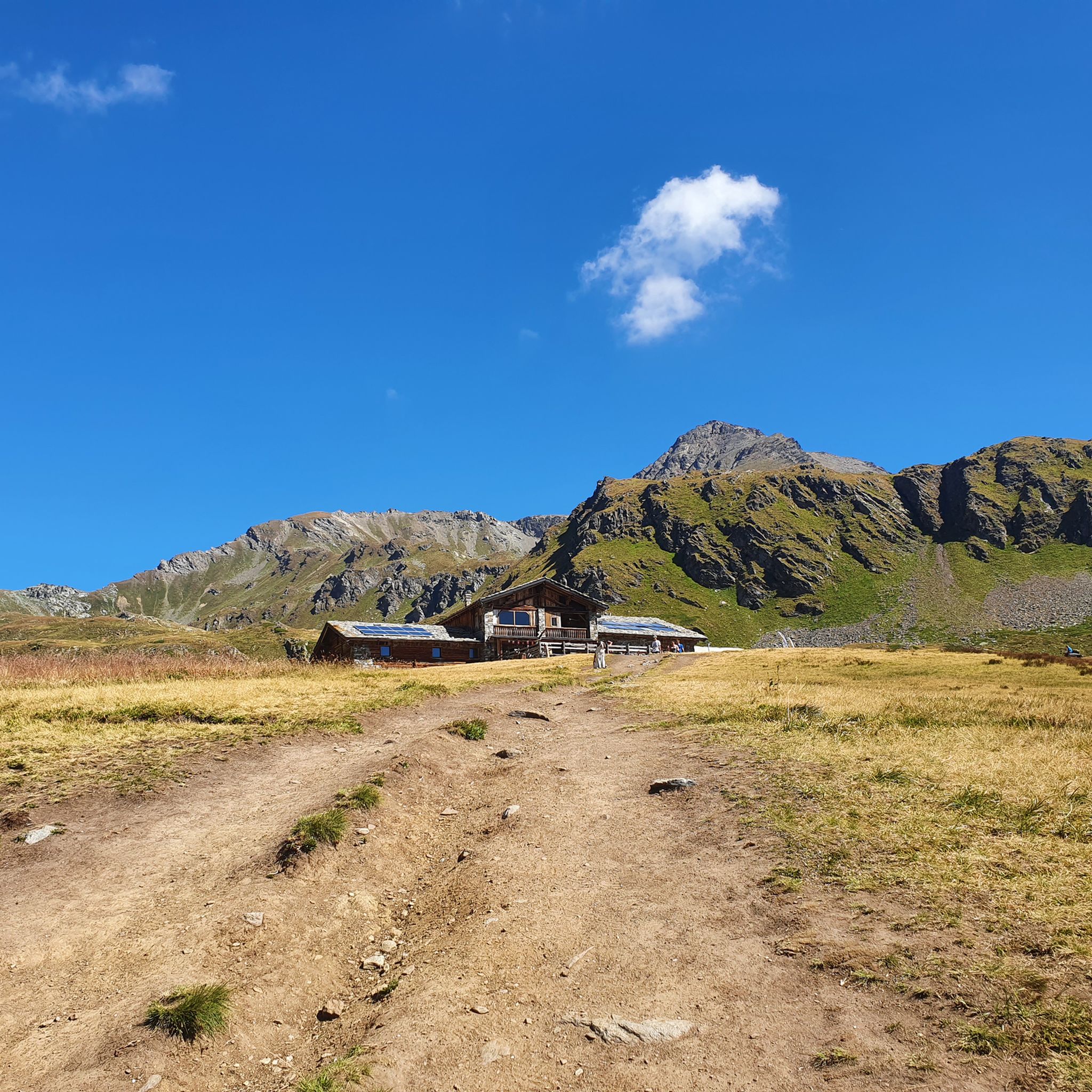
The Mont Fallère Refuge, at 2,385 m, is located in the valley between Mont Fallère and Monte Rosso di Vertosan. It offers 50 beds in rooms with bathrooms, and has a restaurant with typical cuisine. Open in summer, it can be reached on foot or by mountain bike.
1
1

You reach Punta Valletta, where you can sit at the base of its cross. ⚠️ In July 2024, we were unable to locate path 19A which would have closed the return loop. So we did the via ferrata again in reverse.
0
0
Frequently Asked Questions
How many mountaineering routes are available around Saint-Pierre?
There are 9 mountaineering routes detailed in this guide around Saint-Pierre, all of which are considered difficult due to significant elevation changes and challenging terrain. These routes offer a robust experience for those seeking high-mountain adventures in the Aosta Valley.
What kind of terrain can I expect on mountaineering routes near Saint-Pierre?
The routes around Saint-Pierre are characterized by dramatic Alpine landscapes, featuring high mountain passes, deep valleys, and a mix of rocky terrain, forests, and alpine meadows. You'll encounter substantial elevation gain and varied alpine scenery, typical of the Aosta Valley.
Are there any circular mountaineering routes in the Saint-Pierre area?
Yes, several routes are designed as loops. For example, you could explore the Fenêtre de Sereina loop from Saint-Rhémy, a challenging 11.3 km trail, or the Pointe de la Pierre loop from Pont D'Aël, which is 14.1 km and offers sustained climbing through varied alpine landscapes.
What do other mountaineers say about the routes around Saint-Pierre?
The mountaineering routes in Saint-Pierre are highly rated by the komoot community, with an average score of 4.8 stars from over 11 reviews. Mountaineers often praise the challenging ascents, the stunning high mountain passes, and the beautiful alpine lakes encountered along the trails.
Are there any specific landmarks or points of interest along these mountaineering routes?
Yes, the region is rich with natural and historical landmarks. You can find notable mountain passes like Col Fetita and Colle Tsa Seche. Some routes also lead past alpine lakes, such as the Punta della Valletta (3,090 m) – Lago di Chamolé loop from Pila.
What is the best time of year for mountaineering in Saint-Pierre?
Given the high-mountain Alpine environment, the best season for mountaineering around Saint-Pierre is typically from late spring to early autumn (June to September) when snowmelt has largely occurred, and weather conditions are more stable. Always check local weather forecasts and trail conditions before heading out, as high-altitude weather can change rapidly.
Are there any routes that offer views of unique natural features?
Absolutely. The Wooden Chamois Sculptures loop from I galliformi offers a unique cultural and natural experience, combining alpine scenery with interesting artistic elements. Many routes also provide panoramic views of the surrounding peaks and valleys of the Aosta Valley.
What is the typical difficulty level for mountaineering routes in Saint-Pierre?
All mountaineering routes listed in this guide for Saint-Pierre are rated as 'difficult'. They involve significant elevation gain and sustained climbing, making them suitable for experienced mountaineers with good fitness and sure-footedness.
Can I find routes that pass through mountain passes?
Yes, mountain passes are a defining feature of the region. The Col Fetita loop from Les Places, for instance, takes you over the Col Fetita, offering classic Alpine pass experiences.
What kind of elevation gain should I expect on these trails?
The mountaineering routes around Saint-Pierre feature substantial elevation gain. For example, the Pointe de la Pierre loop from Pont D'Aël involves over 1200 meters of ascent, providing a significant challenge for mountaineers.
Most popular routes around Saint-Pierre
Most popular attractions around Saint-Pierre

Get inspired with the komoot mobile app


Explore more
Browse the best Mountain Hikes & Routes in other regions.
